Discover Wombeyan Caves
A cave country with deep Aboriginal cultural significance and a long connection to the Highlands through the road west from Mittagong.
Explore nearby and connected places: Woodlands · High Range · Mittagong · Joadja
Wombeyan Caves through time
Country and the cave landscape
Wombeyan’s limestone caves and surrounding landscape are part of the country of Gundungurra and Wiradjuri people, according to the NSW karst guide. The caves have cultural significance that long predates European records. Gundungurra accounts connect this landscape with the journeys of ancestral beings; the community’s own knowledge and perspectives should guide any fuller telling.[6]
The meaning and spelling of Wombeyan have been recorded in different ways. An ANU study discusses several historical spellings and interpretations and treats “tunnel”, recorded from Gundungurra informant William Russell, as a likely meaning. This is a topic for further local-language and community-led research rather than a single unquestioned translation.[8]
The NSW guide records a European report by John Oxley in 1828 during a search for grazing land. This was not the discovery of an unknown landscape: Aboriginal people already knew the caves. In 1865 land was reserved for cave protection, among the earliest protected cave areas in the world. Early caretaker Charles Chalker and later guides helped develop the caves for visitors.[6]
Roads, maps and visitors
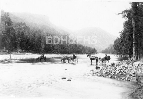
Upper Lachlan’s heritage study describes the journey from Goulburn and the rough early approaches. It dates the western road’s completion to 1890 and the Mittagong road to about 1900. These routes tied Wombeyan to communities on both sides of the range. A guesthouse begun in 1889 was enlarged around 1900 and destroyed by fire in 1934, according to the same study.[7]
Historical mapping offers two different views of the cave landscape. The State Library lists an 1895 Parish of Bouverie map naming the caves and nearby creeks, while a map by surveyor Oliver Trickett reproduced in the 1986 journal Helictite shows individual caves, road approaches and accommodation buildings. The parish-map link is a catalogue entry, and the date of Trickett’s original plan remains to be established.[10][11]
The reserve reopened to visitors after substantial works in 2024. Cave tours, access and road conditions can change: check the current National Parks information before travelling, especially for the Mittagong approach.[9]
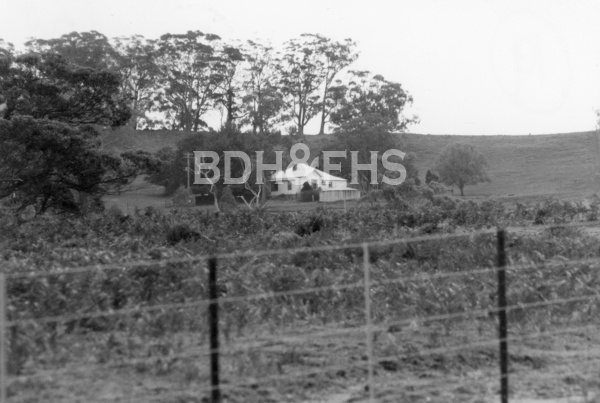
The Society’s collection preserves another view of the journey to the caves. In 2015 it received 32 stereoscopic photographs of Wombeyan and its surrounds taken in 1899, most by Moss Vale photographer Charles Taylor. The images were cleaned, repaired and scanned, and the Society’s image library made the enhanced views available for research and purchase.[12][13]
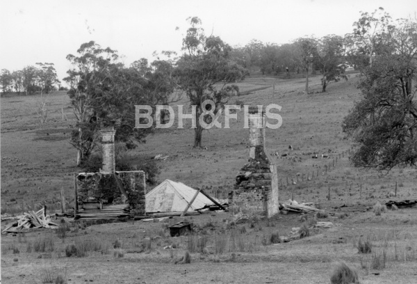
Related historical names and search terms: Whambeyan, Wambian, Wombeian. These may name a former settlement, institution or nearby feature; check the context in the sources.
More views of Wombeyan Caves
Select a thumbnail to see the larger image. Captions and credits follow the available source records.
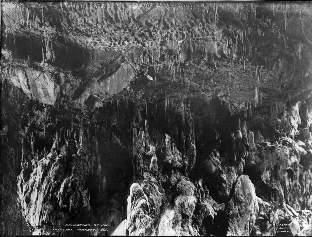
Browse local photographs linked to Wombeyan Caves
Explore the Society’s photographs for sale
Read the landscape
1895
The parish map is item 41 in the State Library’s list.
Parish of Bouverie, County of Westmoreland: second edition
The State Library’s catalogue lists a parish map dated 6 November 1895 recording Wambeyan Caves, Wambeyan Creek, Mares Forest Creek and Guineacor Creek. This link is to the catalogue list, not a digitised image; ask the library about access.
Related places: Wombeyan Caves
NSW Department of Lands; State Library of NSW, Camden Park Estate map collection, item 41.
Check the holding library’s conditions before obtaining or reproducing a copy.
Date of original plan unconfirmed
The map is on PDF page 50 of the scanned journal.
Oliver Trickett’s Wombeyan Caves map
The reproduced map identifies caves, creeks, road approaches, Bouverie and Guineacor parish labels, and accommodation-house and limestone-area insets. The date of the original plan has not been established.
Related places: Wombeyan Caves
Oliver Trickett, map reproduced in Helictite, volume 24, 1986, printed p.48 (PDF p.50).
View the reproduction in the linked journal; establish the original source and reproduction conditions before extracting an image.
Browse maps and plans linked to Wombeyan Caves
Newsletter Mentions
Stories about Wombeyan Caves in the Society’s newsletters.
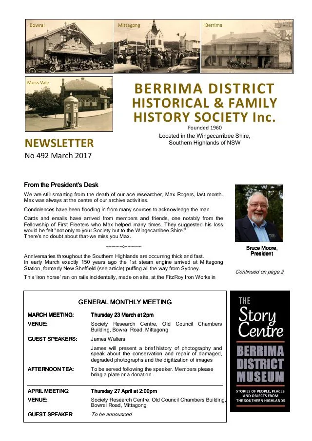
March 2017
- The Society describes conservation and digitisation of Taylor family stereoscopic photographs of Wombeyan Caves (p.3).
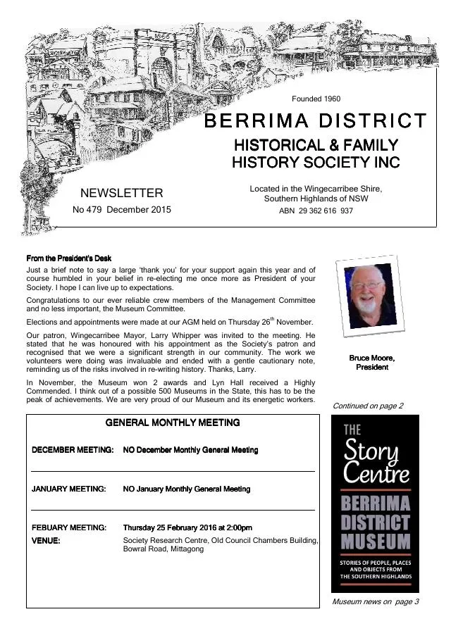
December 2015
- The archives report notes Mittagong street-name research, donated newspaper volumes and newly scanned 1899 Wombeyan Caves photographs (p.2).
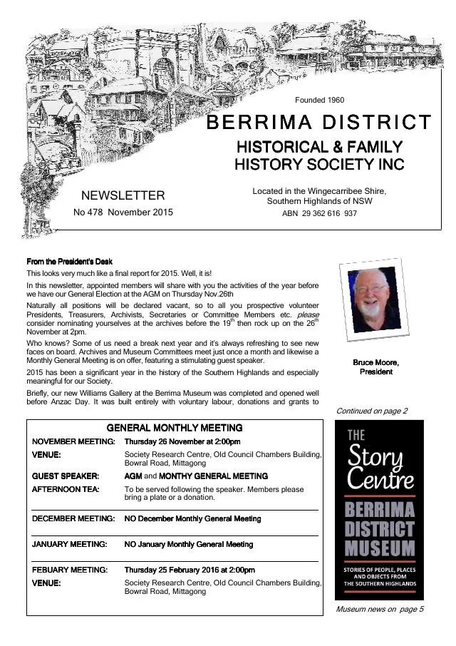
November 2015
- Annual reports describe the Williams Gallery, local research and collections including early Wombeyan Caves photographs and Moss Vale Caravan Park images (pp.2, 5-6).
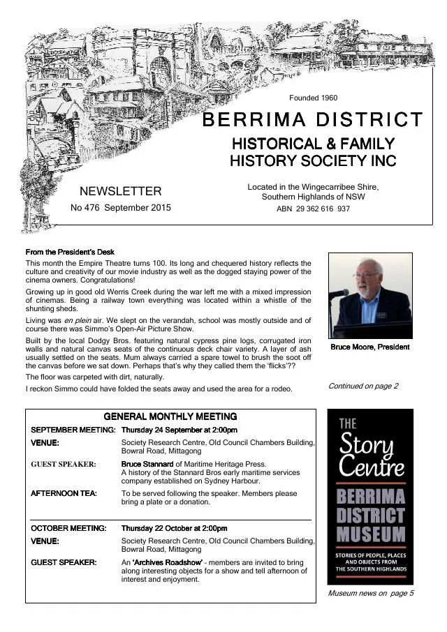
September 2015
- The archives report a grant to digitise 1899 Wombeyan Caves photographs, indexing of Berrima police occurrences and a Bowral Choral Society collection (p.3).
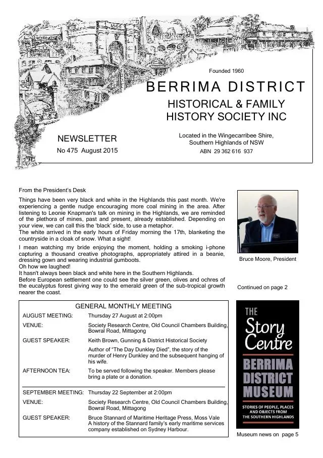
August 2015
- The archives report describes 1899 Wombeyan Caves photographs, donated parish maps with additional annotations and Throsby Park objects (p.4).
August 2014
- John Wylie introduces the history of the Wombeyan Caves Reserve and its cave guides (p.3).
September 2009
- The Society displays photographs relating to Wombeyan Caves Road and High Range (p.4).
August 2009
- A historical illustration and 1928 road photograph accompany the Society’s account of Wombeyan Caves and its access road (p.5).
Books in our Library
These catalogue titles mention Wombeyan Caves. Check the linked catalogue and ask the Society about access.
- Celebrating One Hundred Years. The Opening of the Wombeyan Caves Road and Tunnel 29 January 1900. Compiled by th (2000) - catalogue p. 16
- Guides of Wombeyan Caves 1864-2012. (2013) - catalogue p. 29
- Homes Among the Hills. Old homes around Wombeyan Caves and Wiarborough - and the people who lived there. - catalogue p. 33
- Wombeyan Caves. Produced by Sydney Speleological Society Occasional Paper No. 8. (1982) - catalogue p. 78
Further research
There is more to discover about Wombeyan Caves in the Society’s archives and in other collections. A catalogue entry may lead to material that has not been digitised or needs to be consulted in person.
- Ask the Society’s research centre about local files, photographs and records.
- State Library of NSW collections - search photographs, maps, manuscripts and local publications.
- NSW Historical Land Records Viewer - search historical land records, plans and parish maps by place or parcel.
Sources already connected with this place include:
- NSW Environment: Guide to NSW karst and caves, Wombeyan history and cultural significance
- Upper Lachlan Shire Heritage Study, Wombeyan Caves area
- NSW Environment: Wombeyan Caves reopening, 2024
- State Library of NSW: Camden Park Estate maps, item 41, Parish of Bouverie 1895
The Society can undertake professional research at $40 per hour. Contact the research centre to discuss your question and request a quote.