Towns & villages
58 places shown
Aboriginal Heritage
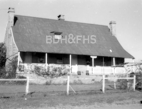
Explore the rich Aboriginal heritage of the Southern Highlands, its First Peoples, their history, culture and enduring connection to Country.
Alpine
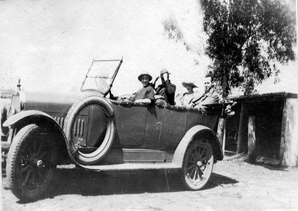
Alpine’s rural landscape north of Mittagong includes early roadside buildings and personal stories recorded far beyond the district.
Avoca
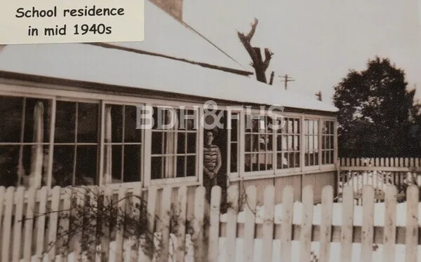
Avoca’s school began as Yarrunga. Its registers open a window onto generations of children and families in the surrounding farming district.
Avon
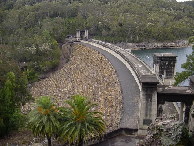
A water-catchment locality whose dam, construction settlement and school connect the Highlands with the Illawarra.
Aylmerton
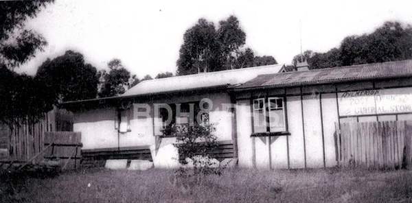
Aylmerton is a northern railway-era village on the old road corridor between Mittagong, Braemar and Balaclava.
Balaclava
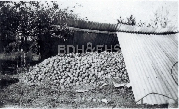
Balaclava’s name and streets carry a connection with the Crimean War, within the northern settlement landscape around Mittagong.
Balmoral
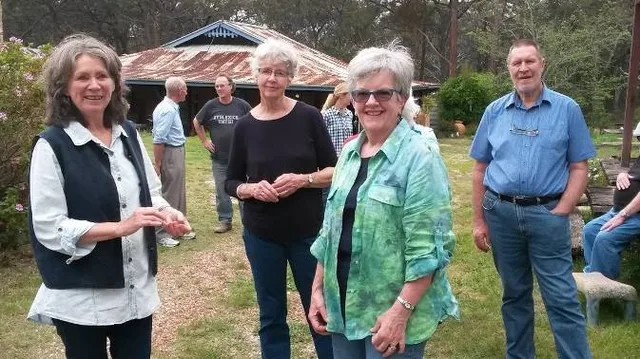
Balmoral grew beside the old railway over Big Hill. Its former school and the plans for the village open a story of railway workers, families and community life.
Bargo
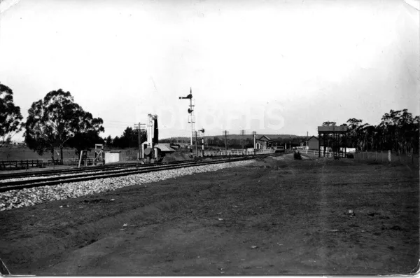
A Wollondilly town on the southern road and railway, connected with Yanderra and the northern Highlands.
Belanglo
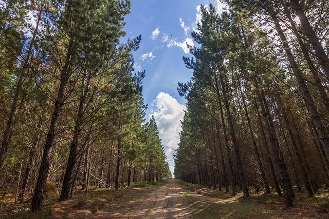
Belanglo’s landscape brings together native bush and a working forest: the first radiata pines were planted here in 1919.
Berrima
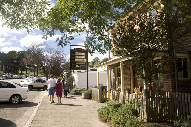
A courthouse, gaol and old inns stand around the streets of Berrima, a town planned beside the Wingecarribee River for travellers on the Great South Road.
Berrima Junction
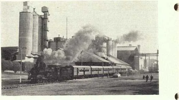
Near Moss Vale, Berrima Junction connects the Main South railway with a branch built to carry coal from Medway and later linked with the cement works.
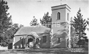
Bong Bong
Bong Bong was the district’s first European town settlement, established beside the Wingecarribee River in 1821 before Berrima became the road-centred successor.
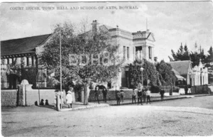
Bowral
Bowral’s streets hold stories of railway arrivals, civic ambition, music, shops and gardens. The town grew quickly after the railway reached the Highlands in the 1860s.
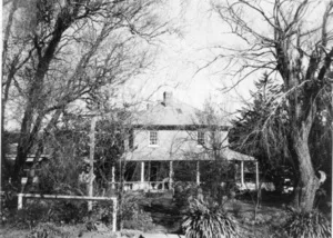
Braemar
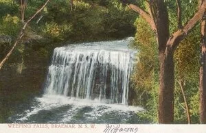
Braemar’s early built history is anchored by the Prince Albert Inn, an early-1840s Colonial Georgian inn later known as Willow Vale and The Poplars.
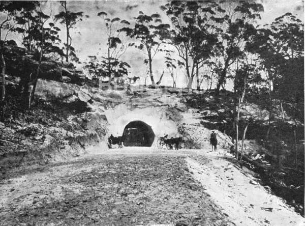
Bullio
A rural locality on the road west from Mittagong, linked to pastoral country, a hand-cut road tunnel and the journey to Wombeyan Caves.
Bundanoon
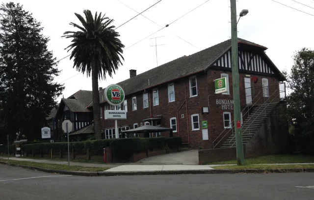
The railway brought new opportunities to Bundanoon: farmers found a service centre, while visitors came for guest houses, walks and the dramatic gullies.
Burradoo
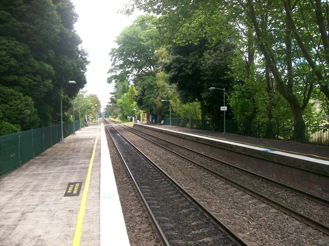
Burradoo’s landscape holds stories of racing, schools and the older Bong Bong district, between Bowral and Moss Vale.
Burrawang
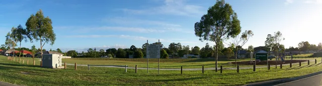
Burrawang grew among the farms of the Yarrawa Brush, where an inn, store, post office and church served a scattered rural community.
Buxton
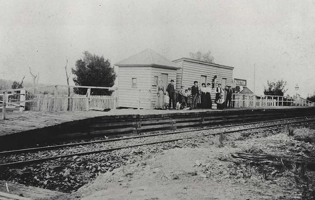
Orchard farmers and railway workers helped shape Buxton, a northern neighbour on the original Picton-Mittagong railway.
Calwalla
On the line between Moss Vale and the Illawarra, Calwalla once had its own station; the railway and nearby reservoir are part of the locality’s story.
Canyonleigh
Canyonleigh, historically Canyan Leigh, developed along an old Taralga stock route with a school, post office and grazing properties.
Colo Vale
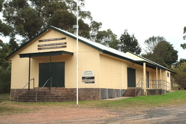
Colo Vale’s former loop railway and village streets open a story of changing transport, local families and the names left on the map.
East Kangaloon
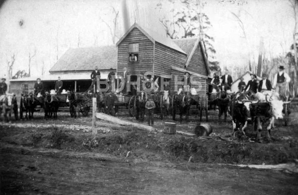
Schools, farming, stores and a mutual-improvement society shaped East Kangaloon’s nineteenth-century community.
Exeter
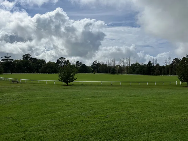
Railway cottages, a school, shops and a church helped turn part of the Vine Lodge estate into the village of Exeter in the 1890s.
Fitzroy Falls
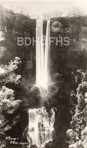
Fitzroy Falls is a small village formed around a long-standing sightseeing destination and surrounding rural landscape.
Glenquarry
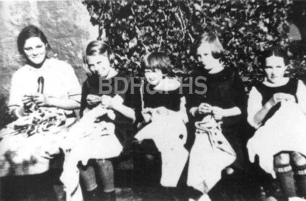
Glenquarry’s farming and quarrying community secured a school in the late 1860s after children had faced difficult journeys to Mittagong or Bowral.
Goodmans Ford
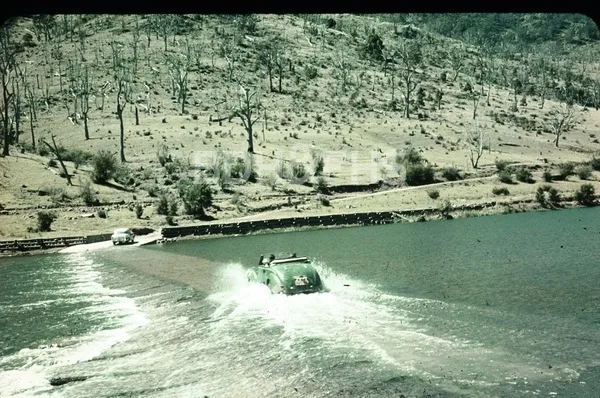
A Wollondilly River crossing on the historic road between the Highlands and Wombeyan Caves.
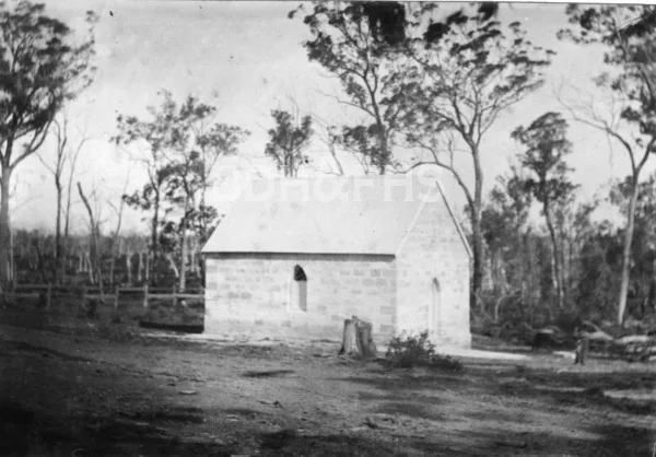
High Range
A rural community on Wombeyan Caves Road, connected with Joadja and the small sandstone church of St Thomas.
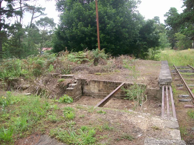
Hill Top
Hill Top grew beside the original southern railway. When the main line moved in 1919, the old route became a distinctive part of the village’s story.
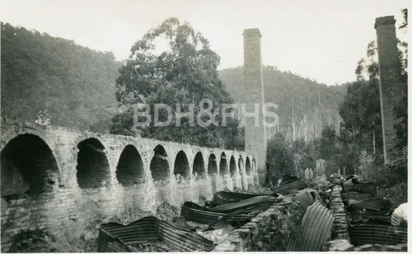
Joadja
A shale-oil industry created a town in the Joadja valley, leaving an exceptional industrial and community landscape.
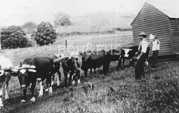
Kangaloon
Kangaloon is part of the eastern Highlands landscape historically associated with the Yarrawa Brush farming district.
Manchester Square
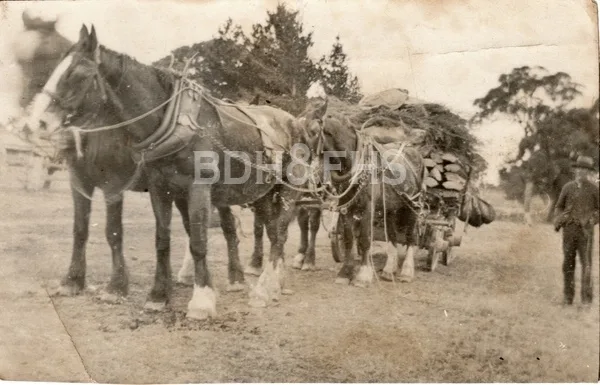
Farms and the old Meryla Road connect Manchester Square with dairying, timber and the steep route down towards Kangaroo Valley.
Mandemar
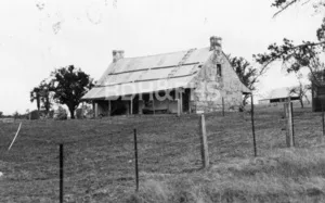
Mandemar’s early documentary history follows grazing land, an 1822 reference by John Oxley, and a nineteenth-century land transaction.
Medway
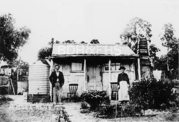
Coal mining, a private railway and the cement industry shaped Medway’s village life.
Meryla
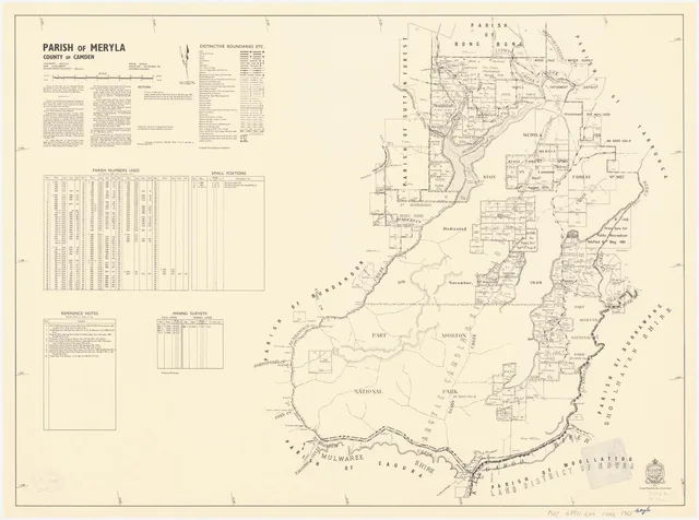
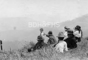
Meryla’s forest, valley farms and steep pass preserve a layered history of roads, timber and rural settlement.
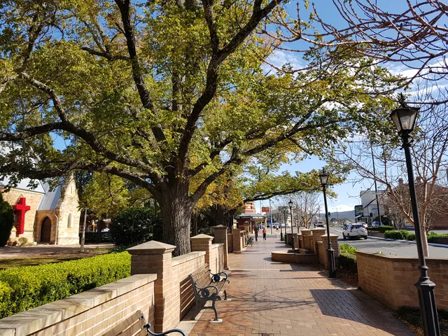
Mittagong
A gateway to the Highlands, Mittagong brings together the old southern road, a railway town and an industrial past that includes ironworks and maltings.
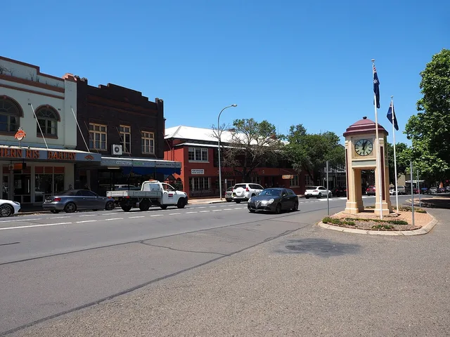
Moss Vale
Trains, farms and the old Throsby estate helped shape Moss Vale. From its railway station, produce travelled from the eastern Highlands towards Sydney.
Mount Lindsey
A rural locality in the Yerrinbool district, beside the Upper Nepean catchment.
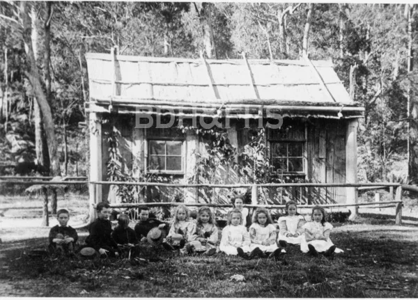
Mount Murray
A farming and railway locality near Robertson, with a school history preserved in the Society’s library and traces within the Upper Nepean catchment.
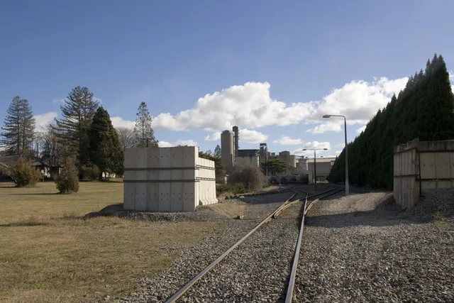
New Berrima
New Berrima began as a 1928 private subdivision and developed alongside the district’s cement and rail-linked industrial corridor.
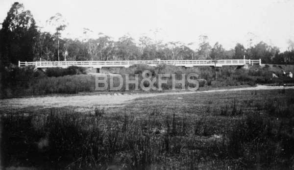
Paddys River
The former roadside village of Murrimba grew beside Paddys River, serving travellers on the old southern road.
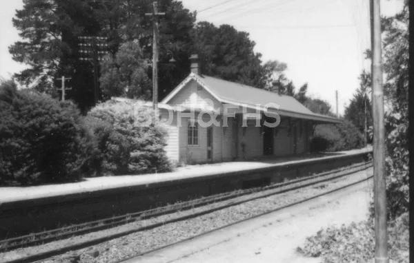
Penrose
Penrose emerged beside the Main Southern Railway, later becoming an orchard and timber-milling village.
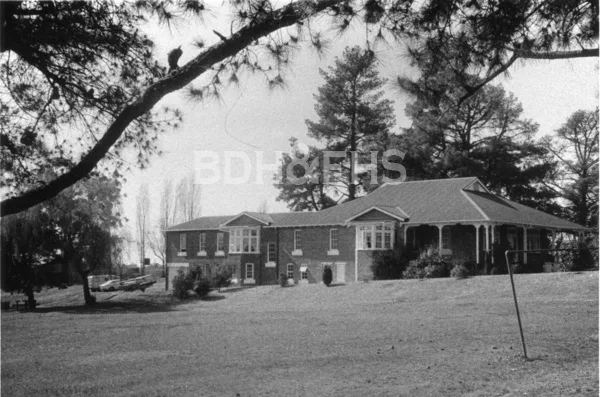
Renwick
Renwick’s newer residential streets occupy part of a landscape with a long and sometimes painful history of institutional child welfare.
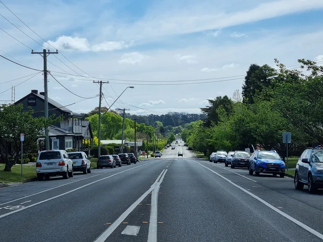
Robertson
Robertson grew amid the farms carved from the Yarrawa Brush. Its streets, rich agricultural country and nearby falls tell connected stories of work and discovery.
Sutton Forest
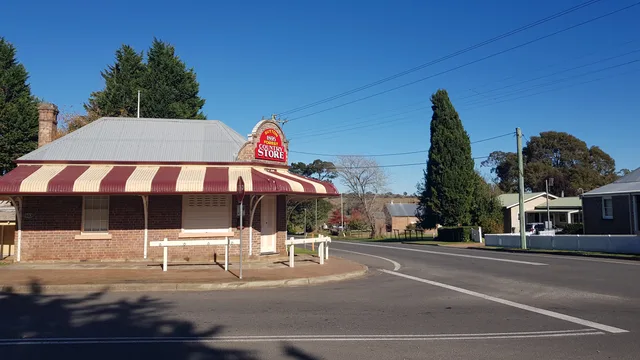
Sutton Forest is one of the earliest colonial settlements in the Southern Highlands, with surviving churches, public buildings and rural estates.
Tallong
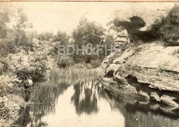
Tallong, formerly known as Barbers Creek, developed around the southern railway and became an important orchard district.
Upper Kangaroo Valley
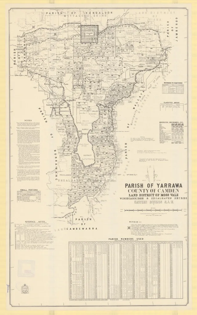
At the edge of the Highlands and Kangaroo Valley, the upper valley’s farms, schools and escarpment roads connect communities across the ranges.
Wattle Ridge
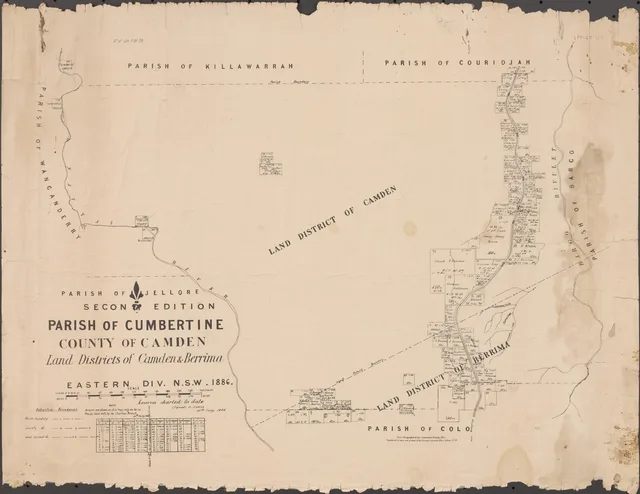
A bushland locality near Hill Top with connections to the Nattai landscape and its conservation history.
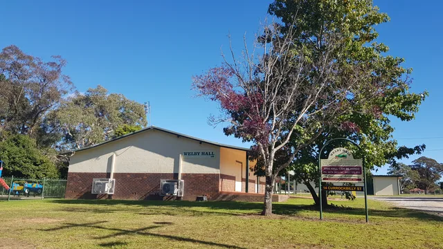
Welby
Once known as the Village of Fitzroy, Welby has stories to follow in its old highway buildings, cemetery, industries and the families who made their homes here.
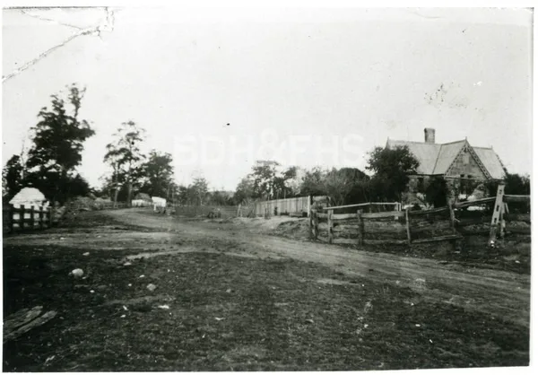
Werai
Werai’s railway gatehouse and former platform recall a small stopping place south of Moss Vale.
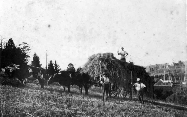
Wildes Meadow
Wildes Meadow developed within the Yarrawa Brush district and its swampy valley was drained for farmland in 1880.
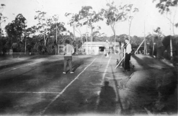
Willow Vale
Willow Vale took its name from the Rush family’s former inn and boarding house, and developed beside the old loop-line fruit-export corridor.
Wingello
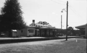
Wingello grew where the Main Southern Railway met a sleeper-timber industry, then consolidated around station, school and village services.
Wombeyan Caves
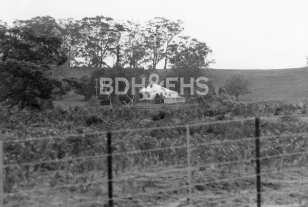
A cave country with deep Aboriginal cultural significance and a long connection to the Highlands through the road west from Mittagong.
Woodlands
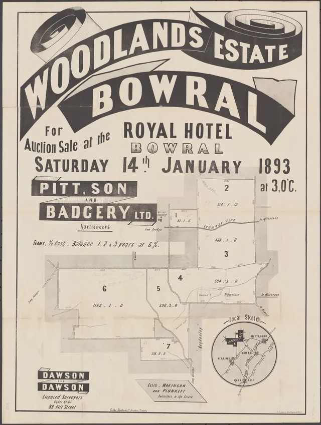
At the meeting of Wombeyan Caves and Spring Hill roads, Woodlands connects local families and farms with the long journey west from Mittagong.
Yanderra
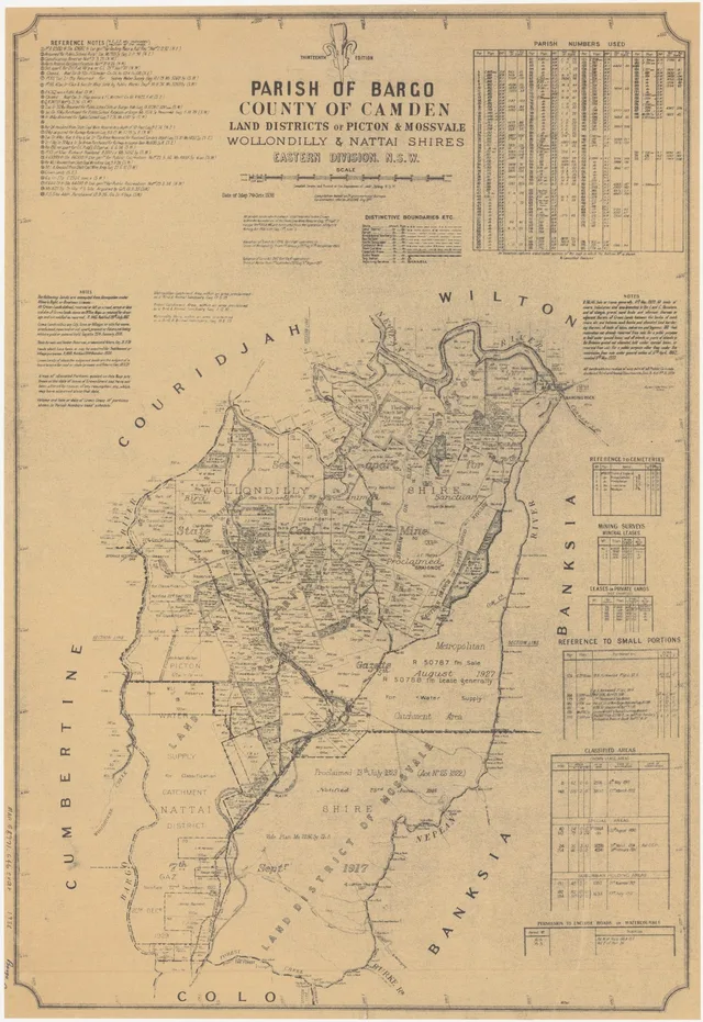
Between Bargo and Yerrinbool, Yanderra’s story follows the railway deviation, orchards and a highland estate promoted to Sydney residents.
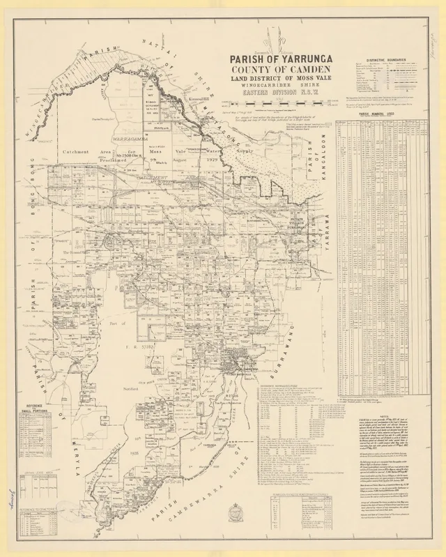
Yarrunga
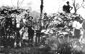
A rural locality and historical parish connected with Avoca, farming families and a much-used school register.
Yerrinbool
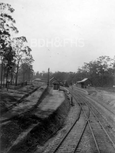
The 1919 railway deviation helped establish Yerrinbool as a station village and a hopeful mountain resort.