
Discover New Berrima
New Berrima began as a 1928 private subdivision and developed alongside the district’s cement and rail-linked industrial corridor.
The 2021 Census counted 598 people in the ABS suburb and locality of New Berrima.[19]
New Berrima through time
Coal, rail and a new cement works
Coal movement shaped the works’ connection with Medway. A history reprinted by the Society describes a rail route linking the mine, cement works and main southern line, and records that pit ponies hauled coal underground until their retirement in 1968. Jim Galloway’s recollections add a family perspective on the early mining settlement. The article’s account of junction names was corrected in the following newsletter.[17]
The names around the railway junction need care. In a correction published by the Society, railway historian David Kemmis distinguished the nearby Austermere stopping place, renamed Bong Bong in 1889, from Berrima Junction itself. He recorded that the junction briefly became Medway Junction in 1927 before reverting to Berrima Junction. His account corrects an earlier newsletter statement that had conflated the locations.[16]
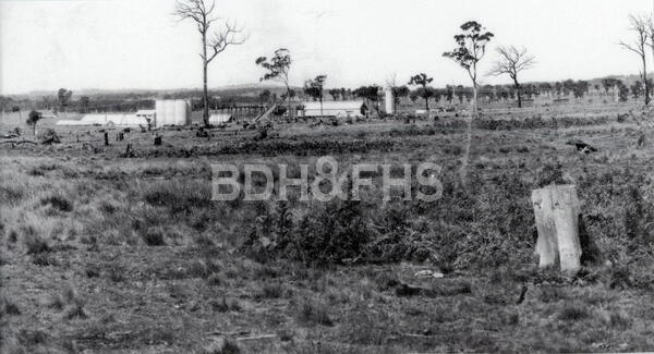
The materials and railway explain why the works developed here. Boral’s rehabilitation plan says the late-1920s site offered local shale, rail access to limestone from Marulan and coal from Medway. It records that shale was initially supplied from local quarries and that extraction on the works site began in 1934. Those supply routes and the people who worked along them connect New Berrima to the wider region.[9]
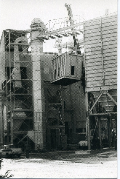
A 1976 company publication in the Society’s collection says construction began in 1927 and the Berrima works officially opened on 24 May 1929. Boral records that the 1928 subdivision offered housing for employees. The village’s history includes families, homes and community life as well as industrial production; further resident recollections and school records would help tell that story.[8][9]
A township for workers
Council records New Berrima as a private land development established in 1928; that November, 107 building lots and 69 business lots were sold. Its grid of ten streets developed separately from Berrima on higher ground. The New Berrima cement works opened in 1929 on the tramway between Berrima Colliery and the Main South Railway at Berrima Junction, linking the settlement to the shale, coal, limestone and rail economy.[6][7]
The planned township was ambitious. A 1928 sale poster laid out streets beside the cement works, with 613 proposed lots. Drawing on James Jervis’s district history, Council’s planning document reports that 107 building lots and 69 business lots sold at the November auction. The plan captures a community being imagined alongside the new works.[11][12]
Community life at the works
In an August 2019 Society newsletter, former cement-works engineer Ian Mackey recalled a company migrant hostel in Taylor Avenue opposite the works. He described rows of timber cabins, a dining room and the difficulties workers faced communicating in English. His recollection describes many postwar workers as Polish and says residents later brought family to Australia or married locally and moved to nearby towns. It is one participant’s retrospective account, rather than a complete history of the hostel.[13]
Another account in the same issue traces the lives of Stephen and Eugenia Deneka, Polish forced labourers who met in wartime Germany and were separated. Adapted from a 1978 Blue Circle company magazine, it says Stephen came to Australia in 1949 and joined the Berrima cement works in 1952; decades later the couple found one another and reunited. The newsletter adds that they are buried in Bowral General Cemetery.[14]
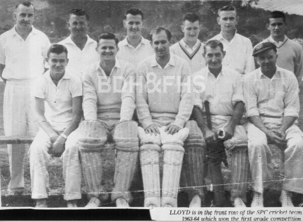
Sport connected the cement works and the surrounding community. In 2013 readers identified a photograph of the Southern Portland Cement first-grade cricket team, naming players including captain “Tarn” Wrightson. The Society also used the company’s 1959 newsletter to describe competition cricket and Sunday social matches, including a game between the works and Berrima Colliery. The photograph’s season was suggested as 1957-58 or 1959-60 rather than established conclusively. An unlikely later venture saw works staff build concrete canoes and train on the Wingecarribee River weir for a race at Narrabeen Lakes. Their company newsletter photographs show the crews putting the boats through their paces.[15][18]
The Society holds a run of SPC and Blue Circle annual volumes from 1959 to 1985. They offer contemporary photographs and accounts of workplace and community life. They are company publications, so their perspective should be read alongside workers’ and residents’ memories, independent reporting and official records. Some scanned pages may not be searchable; browse the original volumes as well.[8]
Historic maps and plans
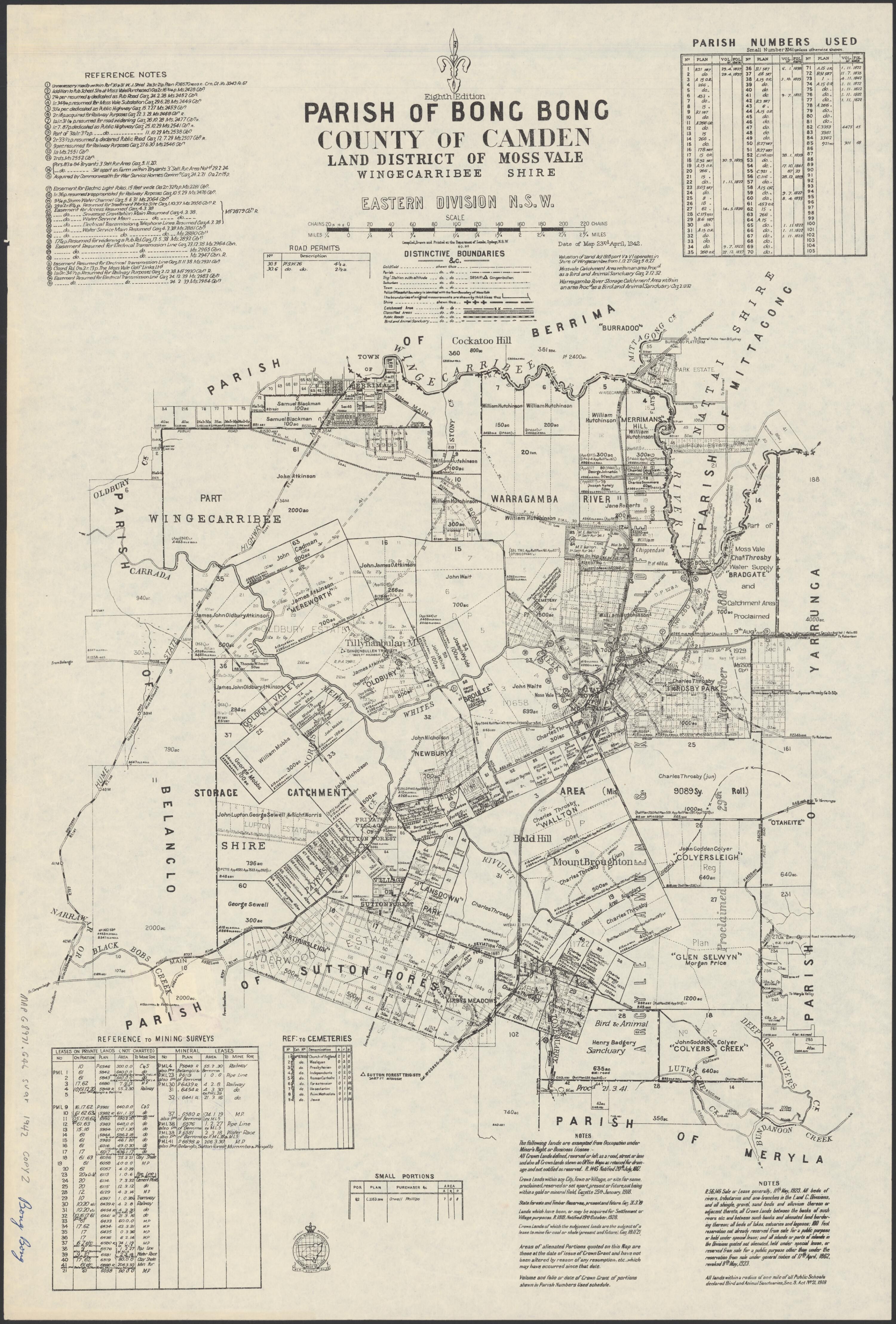
Explore these historic map and subdivision records. Some are catalogue descriptions rather than images of the original plans.
- 1928: New Berrima township auction poster. The poster advertises a 10 November 1928 auction of the proposed New Berrima township alongside the Southern Portland Cement works. Its small reproduction shows a grid of lots and streets and the works to the south; consult the original plan and land records for individual allotments and completed sales.
Browse maps and plans linked to New Berrima
Newsletter Mentions
Stories about New Berrima in the Society’s newsletters.
February 2025
- A new Berrima Museum display explores ancient Egyptian garden layouts, plants and gardeners (p.3).
August 2024
- New Berrima cement works - page 7. Philip Morton traces Arnold Stanley Taylor’s enterprise, construction, the 1929 opening, New Berrima township and the works through the postwar years.
May 2023
- New Society publications - page 4. An updated Early Industries in the Berrima District and a street-name history for Moss Vale, Sutton Forest, Berrima and New Berrima.
August 2019
- Migrant hostel at New Berrima - page 1. Former cement-works engineer Ian Mackey recalls the Taylor Avenue migrant hostel, its cabins and dining room, and the workers who came from postwar Europe.
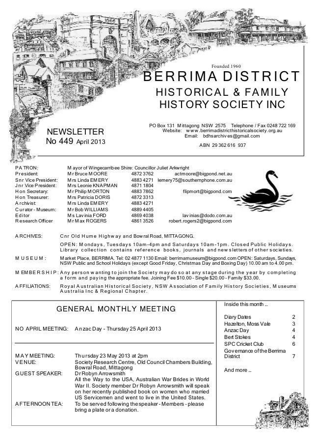
April 2013
- An identified Southern Portland Cement cricket team photograph and 1959 company-newsletter extracts record sport at New Berrima (p.6).
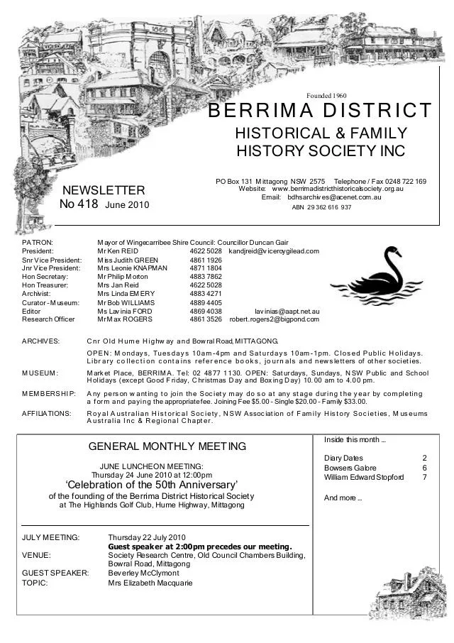
June 2010
- Early towns and New Berrima cement works - page 5. Leonie Knapman reports on a U3A course and a tour of the cement plant, with an outline of its early history.
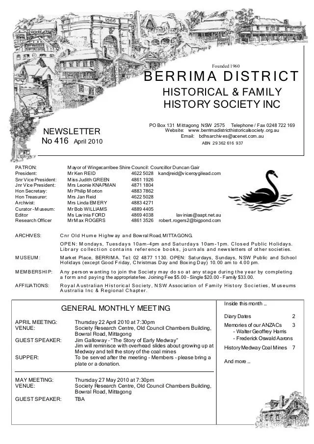
April 2010
- Jim Galloway introduces his recollections of Medway, and a reprinted article traces the coal mines and transport to New Berrima (pp.2, 7).
Books in our Library
These catalogue titles mention New Berrima. Check the linked catalogue and ask the Society about access.
- What's in a Name? The Streets of Moss Vale, Sutton Forest, Berrima and New Berrima. (2023) - catalogue p. 77 A photograph-illustrated guide to the origins of street names in Moss Vale and surrounding villages, including an introduction to the development of Moss Vale. Description source
Further research
There is more to discover about New Berrima in the Society’s archives and in other collections. A catalogue entry may lead to material that has not been digitised or needs to be consulted in person.
- Ask the Society’s research centre about local files, photographs and records.
- State Library of NSW collections - search photographs, maps, manuscripts and local publications.
- NSW Historical Land Records Viewer - search historical land records, plans and parish maps by place or parcel.
Sources already connected with this place include:
- Wingecarribee Heritage Survey 2009
- Wingecarribee, Our Home
- Wingecarribee Development Control Plan: New Berrima and Medway, historical context
- Wingecarribee Community Heritage Study: New Berrima auction poster, PDF page 31
The Society can undertake professional research at $40 per hour. Contact the research centre to discuss your question and request a quote.