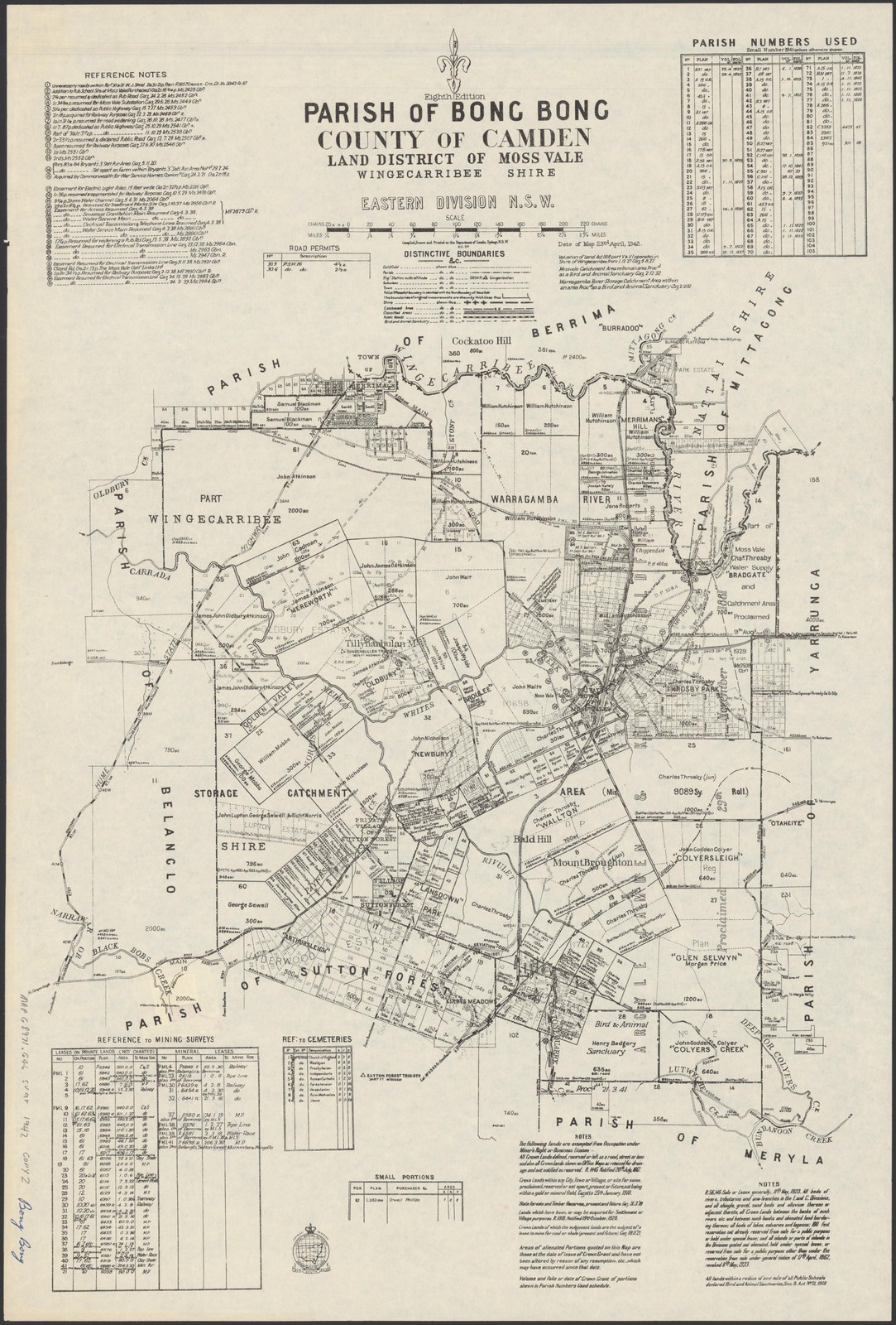
Maps let you follow roads, land parcels and settlements as they change. Start with a modern location, then compare several dated historical records rather than assuming a single map captures one moment perfectly.
Make a start
Locate the place
Record the present locality and address, known former names and any parish, county or portion numbers. A land parish is an administrative area and is not necessarily the same as a church parish or modern suburb.
Find a historical map
Browse the Society’s map collection or search the NSW Historical Land Records Viewer by parish, town or map reference. The State Library’s HLRV training explains the search tools and other record series.
Record the edition
Save the title, issuing authority, edition, compilation and revision dates, repository reference and source URL. Handwritten or printed additions may be later than the map’s original issue date.
Follow the land
Note portion numbers, grant names and plan references, then consult the appropriate grants, title or subdivision records. A named grantee or owner does not by itself identify every later owner or occupant.
Compare with other evidence
Use dated photographs, newspapers, directories, aerial imagery and council records to test changes. Check scale, orientation and boundaries before matching a historical parcel to a present address.
Where to search
The Historical Land Records Viewer offers free access to a range of historical maps and other digitised land records. Some title searches, copies and assisted research are separate services that may carry fees; confirm the current conditions with the provider.
The State Library of NSW holds maps and subdivision plans and offers HLRV tutorials. NSW Spatial Services has historical aerial imagery. The Society’s map page links each displayed map or catalogue lead back to its source.
What a map can and cannot show
A map is evidence of what its creator recorded, at its edition and revision dates. A proposed road, a grant name or an outline does not alone prove construction, occupation or current ownership. Property boundaries and place names may have changed.
Old maps can preserve colonial place names and incomplete representations of Aboriginal country. Seek community knowledge and other sources rather than treating a cadastral map as a complete history of a place.
Useful resources
- NSW Historical Land Records Viewer - Parcel history, subdivisions, historic titles and parish/town maps.
- NSW Spatial Services historical/parish maps - Parish, county, town and historic map context.
- Wingecarribee Shire Council Heritage - Heritage listings, conservation areas and studies.
- State Library of NSW Pictures Collections - Historic photographs, artworks, landscapes and documentary images.
- Browse historic maps and plans
- Research a house or building
Explore the full research resource directory · Search the Society library catalogue · Browse Society newsletters
Let the Society help with your research
The Society can undertake professional research at $40 per hour. Tell us what you would like to discover, what you already know and any records you have checked. Contact the research centre to discuss your question and request a quote before work begins.
Email [email protected] or call (02) 4872 2169.
Common questions
Is a parish map the same as a title deed?
No. A parish map is a useful land-administration record and index to related material. Trace relevant grants, plans and title records to answer an ownership question.
Can an old map prove my house was built in that year?
Not by itself. Check what the map actually depicts, its survey and revision dates, and compare it with dated building, rate, photograph or newspaper evidence.
Can I reuse a map image on another website?
Check the individual repository’s rights statement and any reproduction terms. Keep the source and creator details with the image.