Discover Tallong
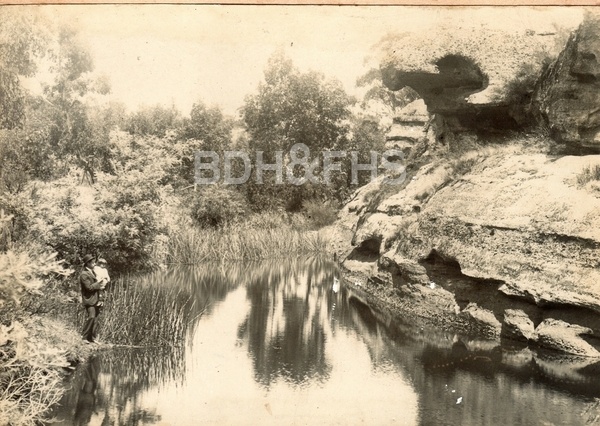
Tallong, formerly known as Barbers Creek, developed around the southern railway and became an important orchard district.
Explore nearby and connected places: Bundanoon · Wingello · Penrose
Tallong through time
Early properties and the railway
The early landholdings Caoura and Bosworth were associated with Dr Patrick Hill. A Society newsletter introduces Janet Black’s research into Hill and the Tallong district; the account is a starting point for examining original land and family records.[9]
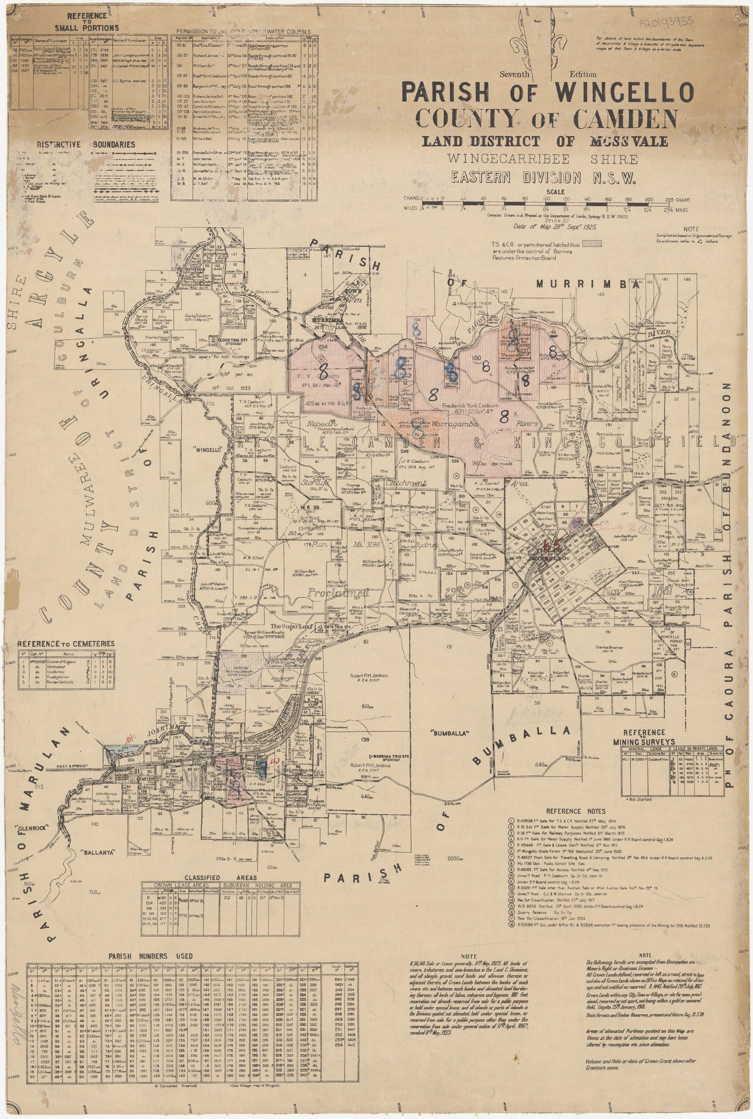
The Morrice family’s landholdings connected the Barber’s Creek district with Sutton Forest. Philip Morton’s account says John Morrice purchased Glenrock from the Barber family in the 1860s and acquired Bombala in 1871. It records his death at Glenrock in 1875 and burial at All Saints, Sutton Forest, and points to a Goulburn Herald obituary. The account is a lead for comparing the property’s ownership and boundaries with land titles and parish maps.[14]
Local history records a locomotive watering place called Barber’s Creek Tank when the railway was extended towards Goulburn in 1869. A passenger station followed in 1878. The railway historical society’s study links transport, sawmilling and the closer settlement that developed around the line.[10][11][12]
The railway station also gave the settlement a new name. The Society’s introduction to Janet Black’s Tallong history records that residents submitted a request to change the station name from Barber’s Creek to Tallong, and the change was approved in 1905. The older name remains a useful clue in earlier land and railway records.[18][10]
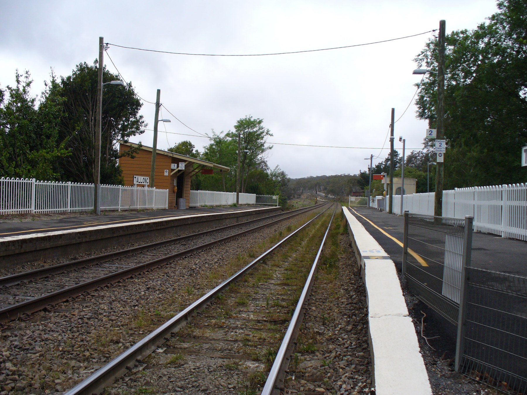
The Australian Railway Historical Society records that the duplicated Main Southern Railway reached the Tallong section in 1915. The works were part of a broader programme between Bundanoon and Marulan that replaced earlier timber and iron bridges with steel bridges on brick piers or brick arches. Tallong’s documented transport setting is thus part of the railway corridor running south from Wingello towards Marulan, rather than a settlement between Bundanoon and Wingello.[6]
A gatekeeper’s cottage and level crossing once stood west of Tallong station, before the duplicated railway replaced the crossing with an overbridge. The Australian Railway Historical Society cites a 1909 Wingello parish map for the location and reproduces Birdie Bunt’s recollection of her grandmother Bridget Follent and mother Mary Jeffery, both gatekeepers. Her memories add a household perspective to the working railway; the map and recollection should be read alongside railway records.[13]
Orchards and community life
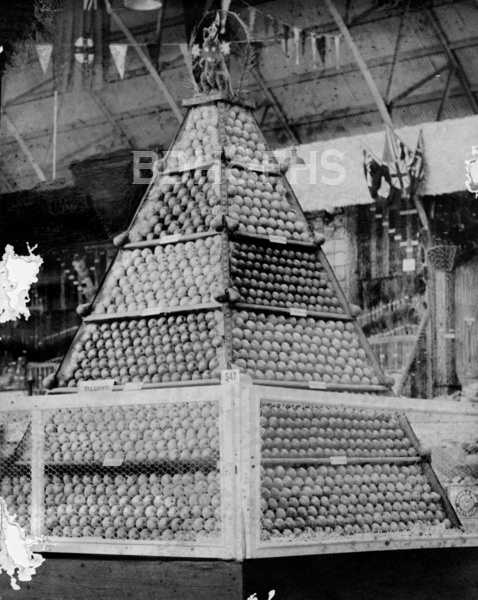
By the late nineteenth century orchards growing apples, pears and stone fruit were an important use of land. A railway history cites an estimate of 10,000 cases for the 1917 apple crop and explains how rail transport helped growers reach markets. Tallong’s community history also recalls the local fruit growers’ success at the Sydney Royal Easter Show.[10][11]
A less expected railway-era story links Tallong to the sea. In a 1913 newspaper interview reproduced by the Society, Captain E. J. Shimmin said he had built the six-ton ketch Tallong in the bush near the station. It was taken by bullock wagon to the railway and sent to Sydney; on a later voyage it was wrecked near Morna Point, where he survived and was helped by fishermen. This is his reported account, rather than independent confirmation of every detail.[15]
In 1913 the Sydney Morning Herald described a recently purchased estate opposite Tallong railway station being subdivided into business and villa allotments. The report promoted the climate, orchards and Shoalhaven scenery and anticipated interest from Goulburn buyers. Its optimistic language reveals how the subdivision was marketed; original plans and title records are needed to establish its extent and subsequent sales.[17]
A bushfire in March 1965 devastated much of the orchard industry, homes and community facilities. The railway historical society records that the last commercial orchard continued until 2014; the local history describes rebuilding and later changes to the community. Local accounts, newspaper reports and land records can be compared when tracing individual properties and families.[10][11]
Wingecarribee’s resilience planning includes Tallong alongside the southern villages. Tallong railway station is in the Goulburn Mulwaree local government area; its inclusion in a regional resilience group should not be read as a statement that the station is within Wingecarribee Shire.[7]
A local book, Tallong, a Heritage, was reviewed in a 2011 Society newsletter. Prepared by a team of residents, it combines maps, illustrations, photographs and references on the district’s natural and human heritage. The review is a useful starting point for finding fuller local research.[8]
More views of Tallong
Select a thumbnail to see the larger image. Captions and credits follow the available source records.
Browse local photographs linked to Tallong
Explore the Society’s photographs for sale
Browse maps and plans linked to Tallong
Newsletter Mentions
Stories about Tallong in the Society’s newsletters.
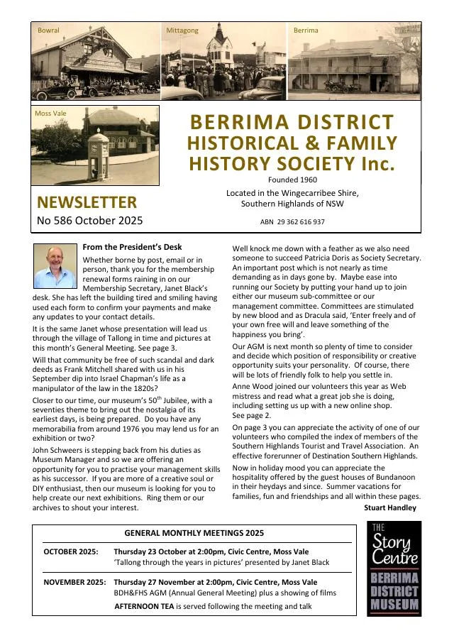
October 2025
- Janet Black introduces a photographic history of Tallong; Ros Dale’s index to Southern Highlands tourist association records is announced (p.3).
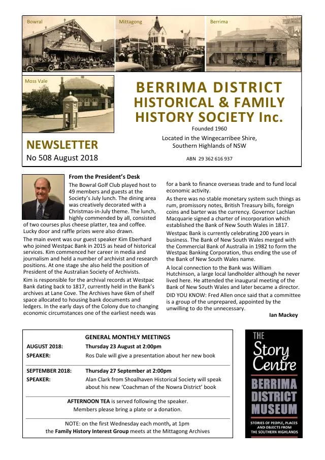
August 2018
- The Society marks 150 years of the Moss Vale-Marulan railway, which served the later villages of Exeter, Bundanoon, Penrose, Wingello and Tallong (p.3).
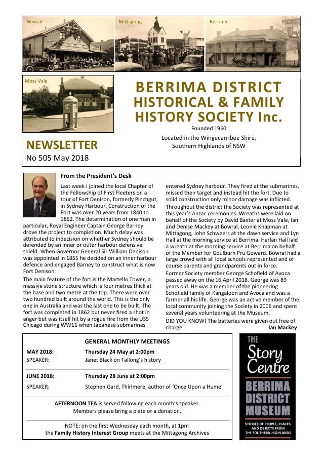
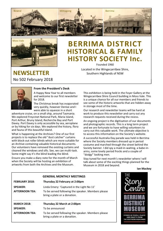
February 2018
- The Tallong community plans events around the 1818 European expedition through the district (p.4).
August 2012
- The issue introduces Tallong research on Patrick Hill’s Caoura and Bosworth estates and documents Bill Oldridge’s Bowral saddlery workshop (pp.3, 6).
March 2011
- The issue introduces research into Sutton Forest teacher Will Carter and reviews Tallong, a Heritage (p.4).
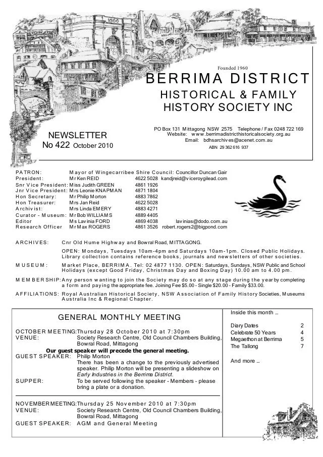
October 2010
- A 1913 newspaper account recalls a ketch built near Tallong station and its owner’s survival after a wreck (p.7).
Books in our Library
These catalogue titles mention Tallong. Check the linked catalogue and ask the Society about access.
- Memories of Tallong Public School 1914-2014 (2014) - catalogue p. 42
- Nanna's Memories of Tallong (2001) - catalogue p. 44
- Tales of Tallong (2015) - catalogue p. 58
- Tallong: A heritage. A Tallong Community Focus Group Project. - catalogue p. 58 A referenced local history with maps, illustrations and photographs, covering the landscape, Aboriginal history, settlement, transport and village life. Description source
Further research
There is more to discover about Tallong in the Society’s archives and in other collections. A catalogue entry may lead to material that has not been digitised or needs to be consulted in person.
- Ask the Society’s research centre about local files, photographs and records.
- State Library of NSW collections - search photographs, maps, manuscripts and local publications.
- NSW Historical Land Records Viewer - search historical land records, plans and parish maps by place or parcel.
Sources already connected with this place include:
- Council community resilience plans
- Heritage NSW: Tallong railway station, yard and water supply
- Parish of Wingello, seventh edition, 1925, National Library of Australia
- Sydney Morning Herald, 22 November 1913, p.8: Tallong railway-station subdivision
The Society can undertake professional research at $40 per hour. Contact the research centre to discuss your question and request a quote.