Discover Wingello
Wingello grew where the Main Southern Railway met a sleeper-timber industry, then consolidated around station, school and village services.
Explore nearby and connected places: Penrose · Tallong · Bundanoon
Wingello through time
Old Wingello on the South Road
An earlier place called Wingello was west of the present railway village on the old Great South Road. Council’s heritage review cites a reference to “Wanglow” in 1824 and describes convict road gangs confined at a stockade during road construction in the 1830s. It records that Thomas Brown later built the White Horse Inn on the former stockade site. The old road settlement and the later railway village should not be assumed to occupy the same site.[7]
An archaeological study places the old stockade in the Parish of Uringalla, near present-day Marulan, rather than at the later railway village. It reproduces Robert Hoddle’s 1835 sketch of the stockade and proposed lock-up, followed by a 1926 parish-map extract showing portions 15 and 20. These maps are evidence of the earlier road landscape, not plans of the present village.[9][14]
The wider Wingello district was the scene of an unusual government auction before the railway village developed. A contemporary advertisement announced a sale of alpacas and related animals at Wingello Park for 23 June 1864. Philip Morton’s Society account, drawing on newspaper reports and property history, describes Governor Sir John Young attending and records that only a few lots sold before the sale was stopped. The advertised flock and the number reported present at the auction differ, so the figures should not be treated as an inventory of completed sales.[11][12]
A new village by the railway
The Australian Railway Historical Society records railway-construction workers arriving in January 1865. Railway work provided temporary employment, while timber-getting and sleeper supply provided a longer-lived industry. In 1883 there were doubts the village would survive once timber was exhausted; the population then included railway workers, settlers, timber getters and bullock drivers at nearby Bomballoway.[6]
The railway reached the district before Wingello had a passenger platform. The Society’s account of its 150th anniversary records the opening of the Moss Vale-Marulan section on 6 August 1868. The line passed through country where several villages would later grow; Wingello’s crossing loop and passenger platform followed in 1871 and 1882.[15][6]
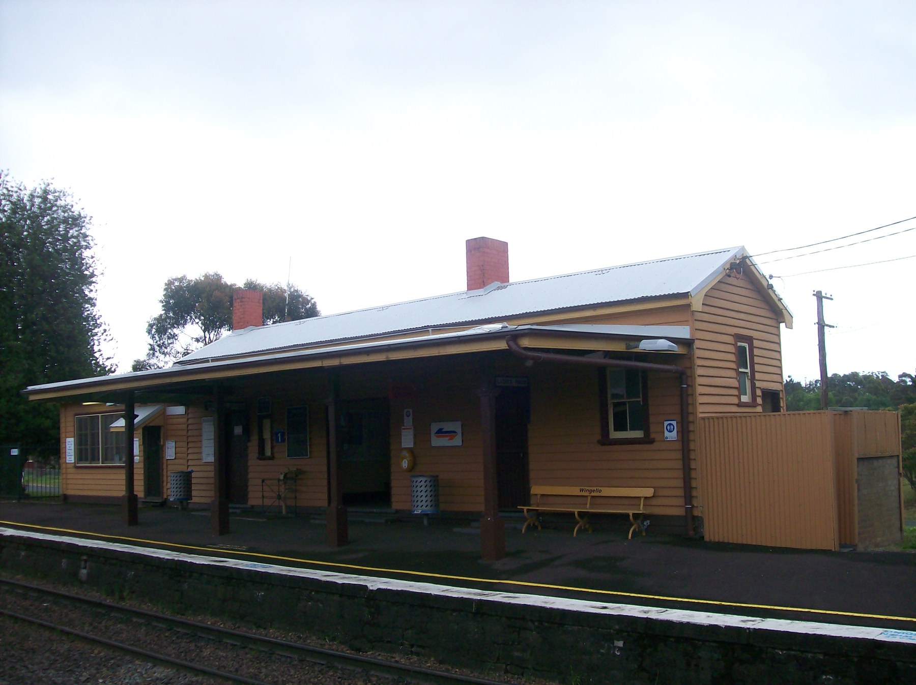
Sources differ about the date of the earlier station building: Heritage NSW lists it as 1871, while the railway history dates the station building to 1883. The 1871 siding and 1882 passenger platform are separately described in the railway history. Until the building chronology is checked against original railway plans, the dates should not be treated as interchangeable.[6][8]
Railway staff also handled local mail. The railway history records that porter George Gibbons sought a receiving office in 1882; residents later petitioned for a full post office so they could register letters without travelling to Marulan. Gibbons became postmaster in July 1885, and railway staff continued to hold the role until the post office moved to separate premises in 1911.[6]
Newspaper reports collected by Carol Nolan give a glimpse of Wingello’s working life in the 1890s. In May 1894 a Scrutineer correspondent reported three active sawmills sending timber by rail, despite complaints of economic depression, and said Langshaw’s eucalyptus-oil works would resume after a break. The same report discussed poor road access for selectors near Cables Siding and Kareela. These are contemporary reports of conditions and intentions, not proof that every proposed improvement occurred.[13]
The railway village endured. The Australian Railway Historical Society records a crossing loop and siding in 1871, a passenger platform in 1882 and a school in 1885. By the early twentieth century there was a general store, bicycle shop, blacksmith and butcher, alongside the hall and church. A 1915 duplication brought a further platform and buildings; the station precinct connects transport with the village’s work, schooling and commerce.[6][8]
The surviving school buildings tell another chapter of the railway village. Council’s heritage documentation identifies a 1913 timber classroom at Wingello Public School, adding a tangible place to the story of the school established in 1885.[6][16]
A hall opened opposite the station in 1902.[6]
The railway history records the construction of an Anglican church in 1914.[6]
Orchards, forests and bushfire
Orchards and forestry developed alongside railway employment. The Chatsbury bushfire in March 1965 devastated the village and caused loss of life; the railway history says most houses were destroyed and the station buildings survived. The Bundanoon History Group records 31 homes lost, though its date differs from the railway account, so the exact date and extent warrant checking against contemporary records. In January 2020 the Morton fire again reached Wingello; the History Group records eight homes lost there.[6][10]
Related historical names and search terms: Wanglow. These may name a former settlement, institution or nearby feature; check the context in the sources.
More views of Wingello
Select a thumbnail to see the larger image. Captions and credits follow the available source records.
Browse local photographs linked to Wingello
Explore the Society’s photographs for sale
Read the landscape
1835
View the survey reproduced on page 95 of the linked report.
Hoddle’s survey of old Wingello stockade and proposed lock-up
The sketch shows the stockade and proposed lock-up on the new South Road near present-day Marulan; this is the earlier road settlement, not the later railway village.
Related places: Wingello
Robert Hoddle survey, State Records surveyors’ books 3f24, reproduced as figure 6.5 in Goulburn Mulwaree archaeological management plan, PDF page 95.
Check the original archival record and reproduction conditions.
1926
View the parish-map extract on page 96 of the linked report.
Parish of Uringalla: old Wingello stockade site
A parish-map extract identifies portions 15 and 20 in the old stockade area; the report locates this earlier settlement near Marulan rather than the railway village.
Related places: Wingello
Department of Lands parish map reproduced as figure 6.6 in Goulburn Mulwaree archaeological management plan, PDF page 96.
Check the original map and reuse conditions before reproduction.
1937
Catalogue reference · display image to be added after reuse checks.
Parish of Wingello
A 1937 parish map is listed in the group’s archives catalogue. The link is to the catalogue, not a digitised image; consult the holding group for access to the map and its edition details.
Related places: Wingello
Bundanoon History Group archives database, August 2026, map holdings reference 1.1.
Ask the holding group about access and permission to reproduce.
Browse maps and plans linked to Wingello
Newsletter Mentions
Stories about Wingello in the Society’s newsletters.
August 2018
- The Society marks 150 years of the Moss Vale-Marulan railway, which served the later villages of Exeter, Bundanoon, Penrose, Wingello and Tallong (p.3).
November 2015
- The issue introduces A Place of Deep Gullies, a Bundanoon history, and reprints Bowral and Wingello newspaper extracts (p.7).
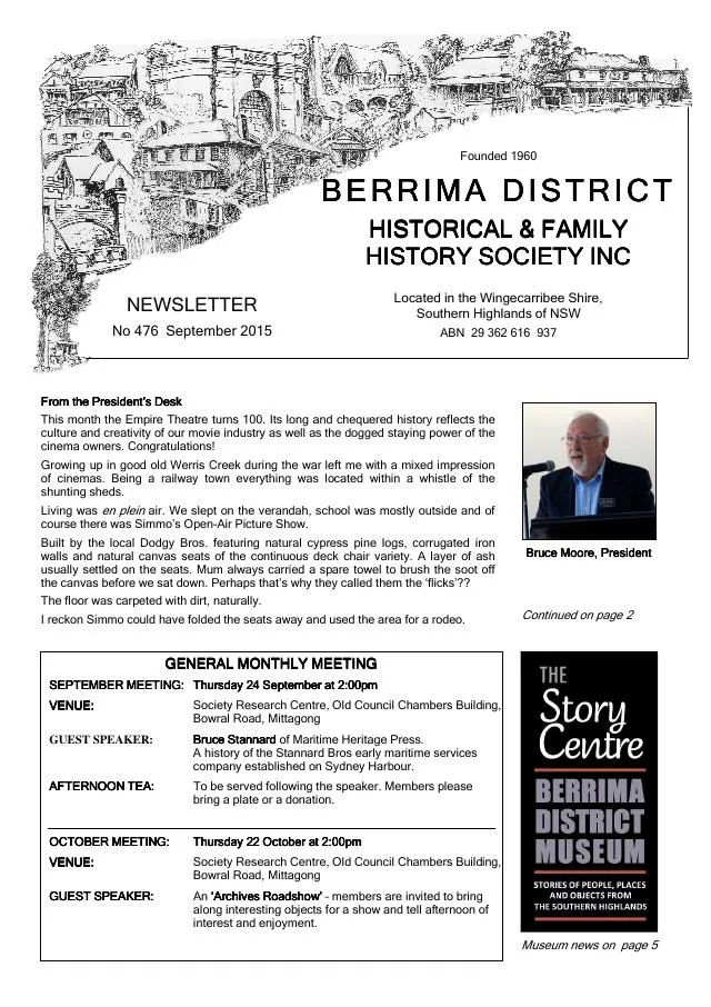
September 2015
- Newspaper extracts discuss early roads, a proposed Berrima school and an 1843 land offering at the old Wingello stockade (p.7).
Books in our Library
These catalogue titles mention Wingello. Check the linked catalogue and ask the Society about access.
- Glimpses of Wingello. A Wingello Village Association Project. (2018) - catalogue p. 27
- Wingello (2009) - catalogue p. 78
Find Society publications mentioning Wingello. The list is from October 2026; contact the Society about current availability.
Further research
There is more to discover about Wingello in the Society’s archives and in other collections. A catalogue entry may lead to material that has not been digitised or needs to be consulted in person.
- Ask the Society’s research centre about local files, photographs and records.
- State Library of NSW collections - search photographs, maps, manuscripts and local publications.
- NSW Historical Land Records Viewer - search historical land records, plans and parish maps by place or parcel.
Sources already connected with this place include:
- Wingecarribee Community Heritage Study peer review, 2024: old Wingello
- Heritage NSW: Wingello Railway Station group
- Goulburn Mulwaree archaeological management plan, figures 6.5-6.6: old Wingello surveys and parish map
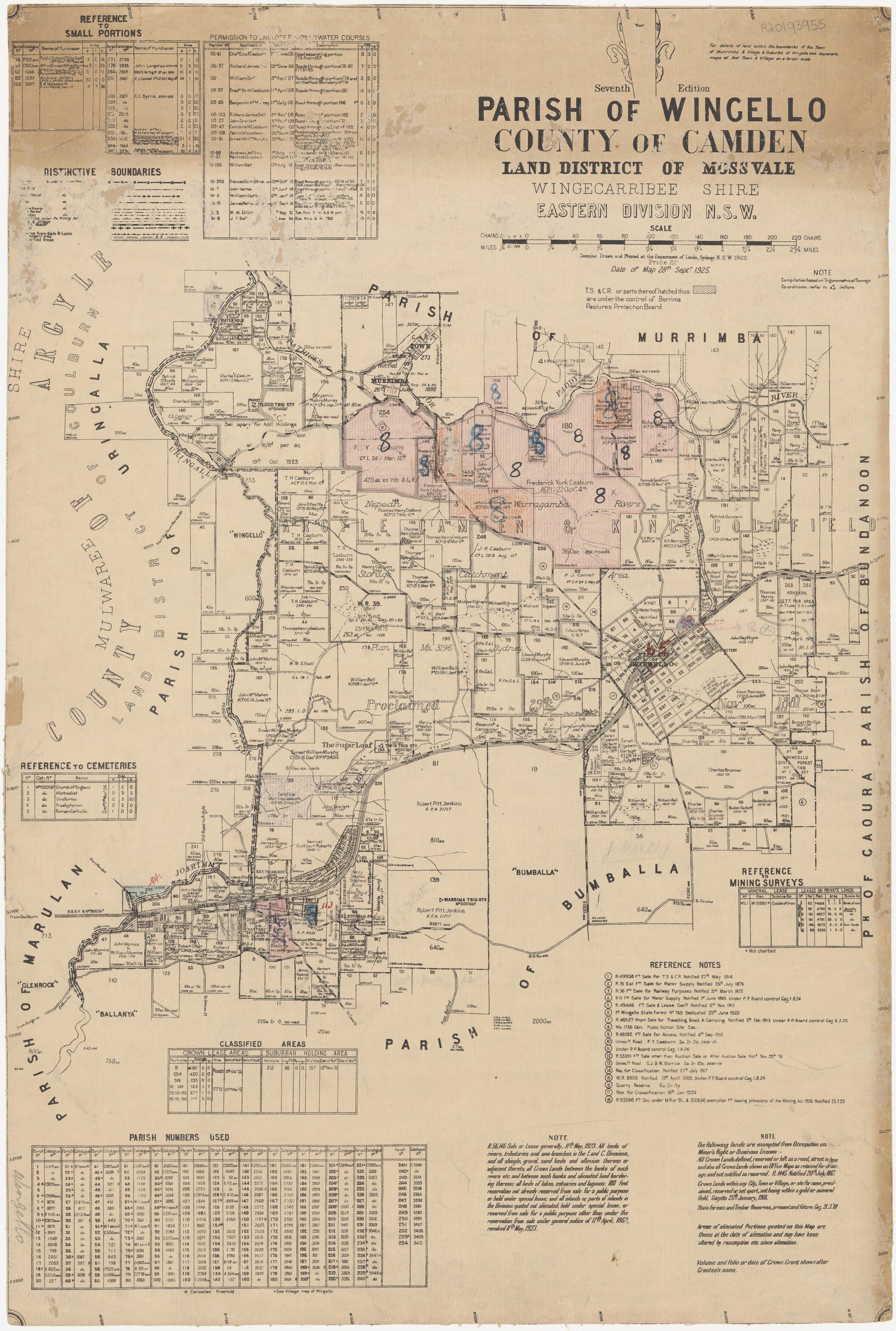
- Parish of Wingello, seventh edition, 1925, National Library of Australia
The Society can undertake professional research at $40 per hour. Contact the research centre to discuss your question and request a quote.