Discover Balaclava
Balaclava’s name and streets carry a connection with the Crimean War, within the northern settlement landscape around Mittagong.
Explore nearby and connected places: Mittagong · Aylmerton · Braemar
Balaclava through time
Balaclava Plains and the land sale
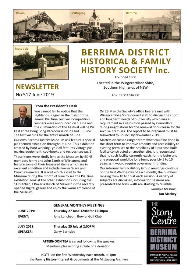
In the Society’s June 2019 newsletter, historian Linda Emery explains how Balaclava’s street names refer to the Crimean War and the 1854 Charge of the Light Brigade. The pattern gives a reason to look at streets together, rather than treat each road name as an isolated label. It is a historical association in the naming, not a date for the village’s foundation.[6]
A Balaclava Plains subdivision plan dated 7 January 1882 is listed in the State Library of NSW’s Mittagong plans, reference Z/TP/M4/18. The catalogue lists Balaclava Road, Great Southern Road, Crane, Beresford, Wilson and Clariville streets, Veteran Road and Inckerman Road. The plan is a useful starting point for examining how land was offered and streets were named; a subdivision plan alone does not prove every lot was built on or occupied at that date.[9]
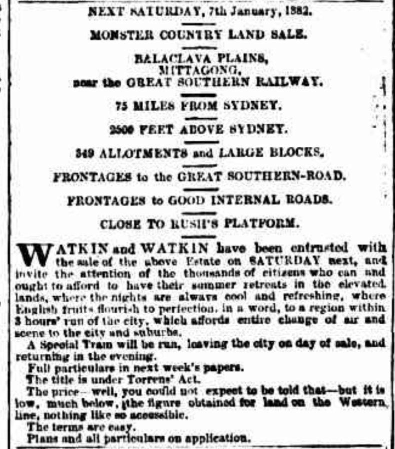
In 1882, Watkin and Watkin offered allotments near Rush’s Platform, with frontages to the Great Southern Road and the planned internal streets. Their advertisements invited Sydney residents to imagine a summer retreat in the Highlands and described a special train for the auction. One surviving plan promoted the estate as “The Sanitorium of the South” - a memorable glimpse of how the locality was presented to prospective buyers.[12][13][9]
Brickmaking and the northern villages
Brickmaking linked Balaclava to construction elsewhere in the district. Linda Emery’s account of the Marist Brothers’ Hermitage says its novitiate building, begun in 1906, used bricks from a local works at Balaclava. The Society’s Rowes Hill cemetery compilation reproduces an obituary describing Sydney Cornwell learning brickmaking from E. Griffiths at Balaclava and later carrying on the trade. The Hermitage account spells the brickmaker’s name Cornwall; the relationship between these references should be checked in contemporary records.[10][11]
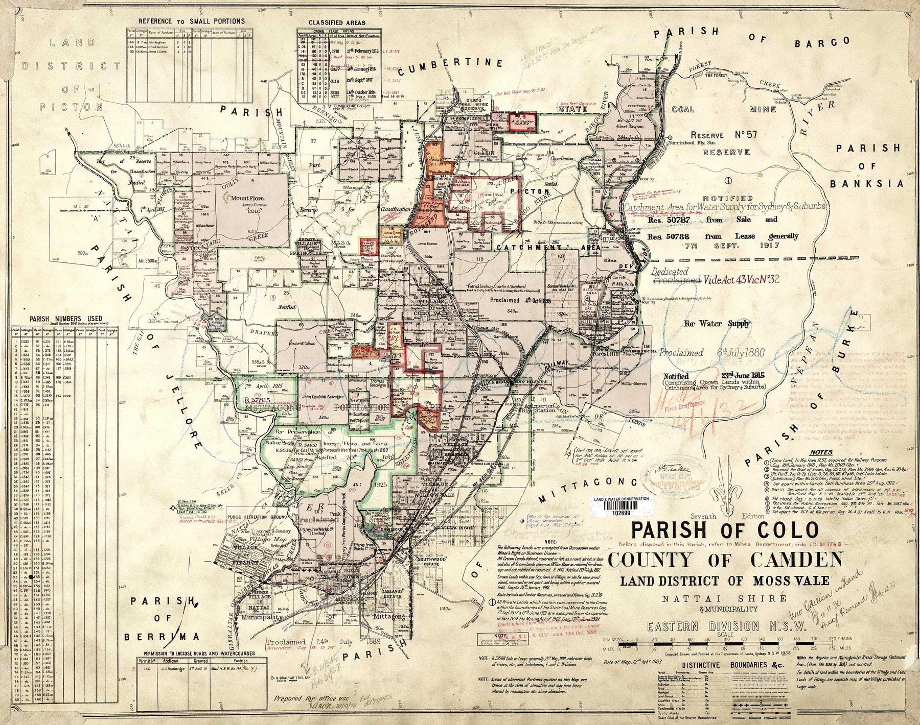
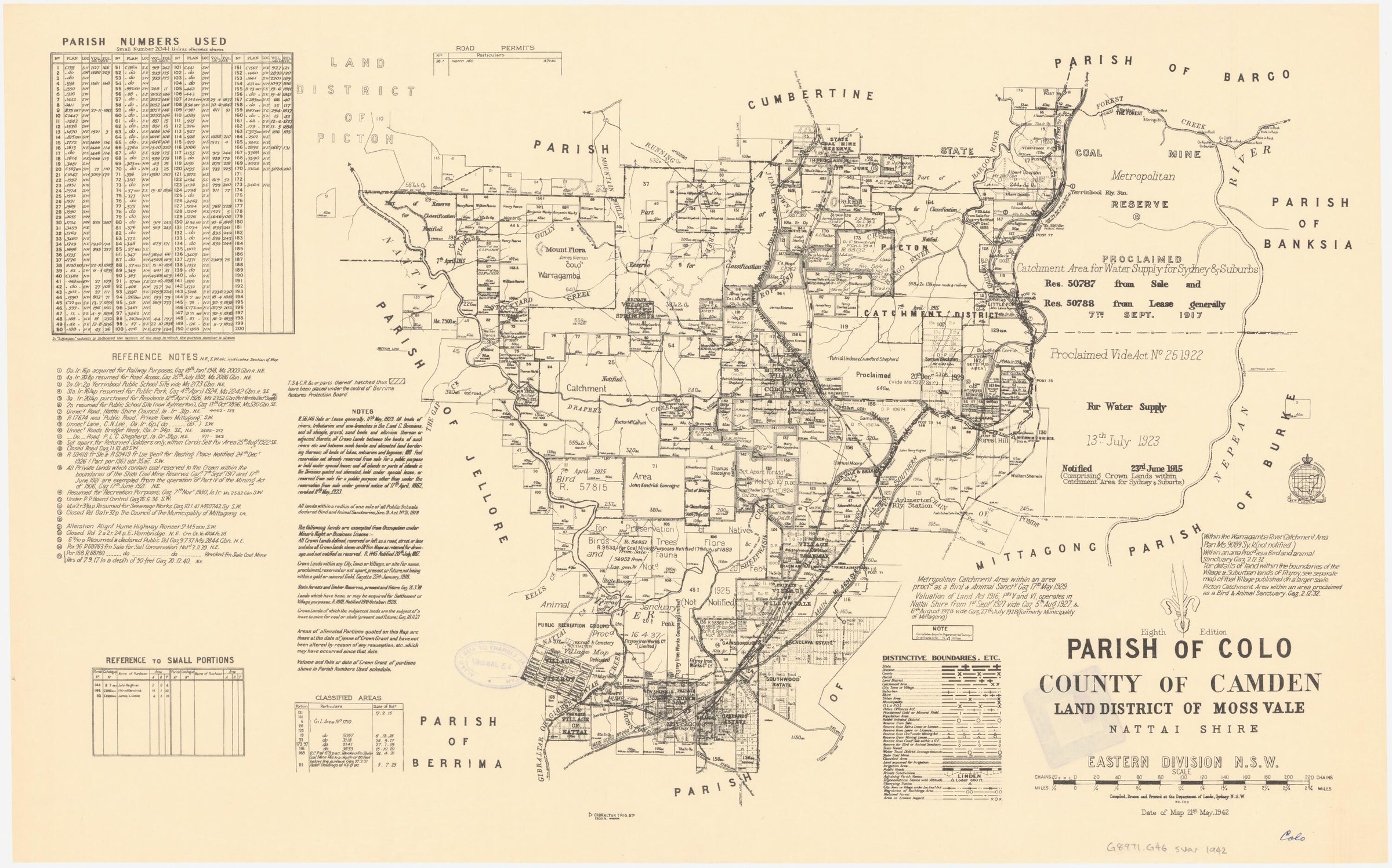
Balaclava is closely connected with Mittagong, Braemar and Aylmerton. Council’s 2007 village access plan describes that local network, while the Society’s Streets of Mittagong project includes Balaclava in its research into the origins of district street names. Subdivision plans and the booklet offer a route from the broad naming theme to particular streets and blocks.[7][8]
Browse local photographs linked to Balaclava
Explore the Society’s photographs for sale
Read the landscape
1838 holdings
View the annotated map on page 5 of the linked newsletter.
Rowe land holdings in Lower Mittagong: mapped interpretation
The annotated map is captioned as Thomas D. Rowe’s 1838 holdings but includes later place and estate labels. Treat the outlines as a retrospective interpretation, not a map necessarily made in 1838, and check grants and survey records for boundaries.
Related places: Mittagong, Renwick, Balaclava
Mapped interpretation reproduced in Society newsletter 538, June 2021, p.5; base map and annotation source not identified there.
View the newsletter; confirm the base map and annotation rights before reproduction.
1882
Catalogue reference · display image to be added after reuse checks.
Balaclava Plains subdivision plan
The State Library lists a plan dated 7 January 1882 with Balaclava Road, Great Southern Road and several neighbouring streets. The link is to the catalogue list, not an image of the map.
Related places: Balaclava, Mittagong
State Library of New South Wales, Mittagong subdivision plans, Z/TP/M4/18.
Ask the State Library about access and reuse conditions.
Browse maps and plans linked to Balaclava
Newsletter Mentions
Stories about Balaclava in the Society’s newsletters.
Further research
There is more to discover about Balaclava in the Society’s archives and in other collections. A catalogue entry may lead to material that has not been digitised or needs to be consulted in person.
- Ask the Society’s research centre about local files, photographs and records.
- State Library of NSW collections - search photographs, maps, manuscripts and local publications.
- NSW Historical Land Records Viewer - search historical land records, plans and parish maps by place or parcel.
Sources already connected with this place include:
- Wingecarribee, Our Home
- Wingecarribee Council villages plan
- State Library of NSW: Mittagong subdivision plans, Balaclava Plains, Z/TP/M4/18
- Balaclava Plains land-sale advertisement, The Sydney Morning Herald, 3 January 1882, p.7
The Society can undertake professional research at $40 per hour. Contact the research centre to discuss your question and request a quote.