Discover Mittagong
A gateway to the Highlands, Mittagong brings together the old southern road, a railway town and an industrial past that includes ironworks and maltings.
The 2021 Census counted 6,090 people in the ABS suburb and locality of Mittagong.[56]

Explore nearby and connected places: Bowral · Moss Vale · Berrima · Bong Bong
Mittagong through time
The old road and early travellers
Heritage NSW’s account of the Mittagong railway station places Lower Mittagong among the district’s earliest colonial pioneer settlements. From 1820 to 1835, traffic south used the old road through Mittagong; when the new Great South Road through Berrima opened, that route over the Mittagong Range and through Bong Bong lost traffic. The next major shift came with the railway: Transport NSW dates the railway’s arrival at Mittagong to February 1867, prompting subdivision and a new phase of growth across the district.[19]
At Lower Mittagong, George Cutter’s Kangaroo Inn and windmill formed part of a small roadside economy on the old South Road. Society researchers reproduce an 1831 advertisement offering the inn, a wooden post mill, workshops, outbuildings and livestock for sale or lease. They suggest that the new road alignment through Mittagong reduced traffic on the old route. A later 1838 advertisement for Captain Sturt’s estate describes a windmill as stone-built; the difference from descriptions of Cutter’s wooden mill needs investigation against original records rather than being silently reconciled.[51]
The 1838 estate advertisement described land bounded by the new and old roads, a house, cottage and cultivated land. The Society’s account says Thomas D. Rowe purchased the property, and his stepson George Taylor Rowe later advertised the windmill for lease in 1852. Such advertisements reveal how the property was presented to prospective buyers or tenants, while land titles and surveys are needed to trace its boundaries and ownership precisely.[51]
The Commercial Hotel, later known as the Lion Rampant, is among the inns documented by Shylie Brown. A Society newsletter reproduces part of her research into the hotel’s history at the corner of the Old Hume Highway and Victoria Street.[26]
Iron, land and a growing settlement
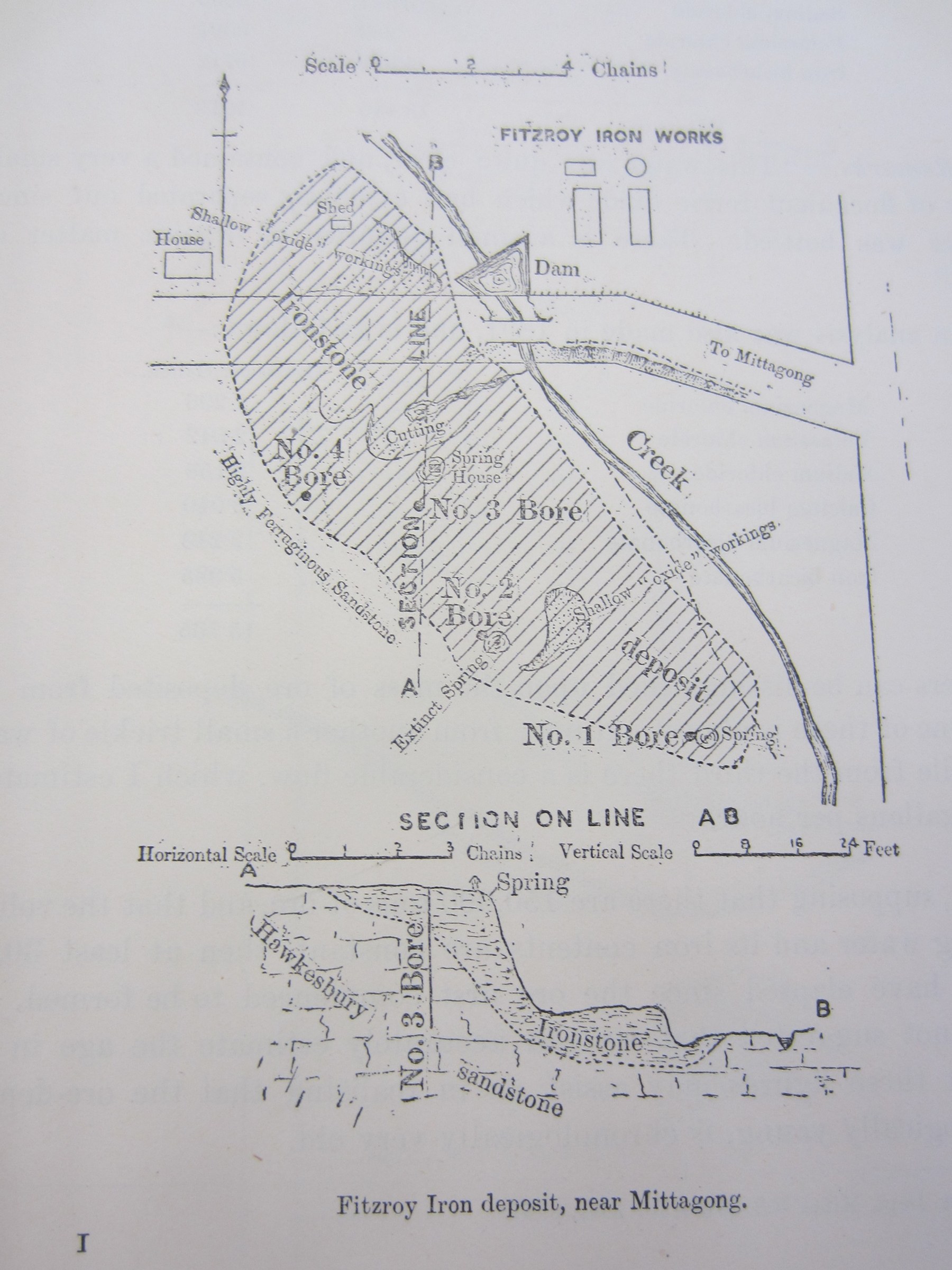
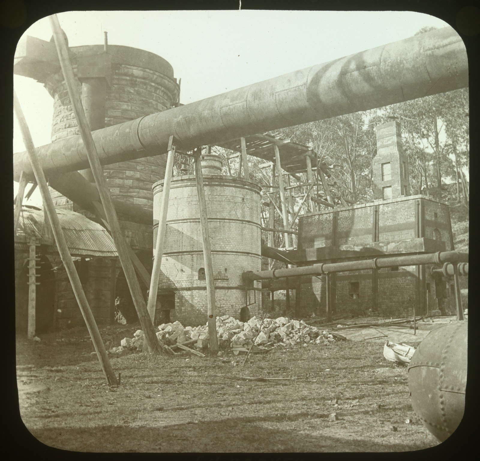
The Fitz Roy Iron Works is another window into Mittagong’s industrial past. In 2009 the Society reported that local resident and former mining engineer George Thirkell had built a scale model of its furnace works after several years of research. The model depicts the phase in which a blast furnace was erected in 1864 under iron-maker Enoch Hughes; it was unveiled at Berrima District Museum.[24][47]
Blacksmithing and foundry work connected industry to daily life. Philip Morton’s 2010 article describes William Brazenall and his sons establishing blacksmith and iron-foundry businesses at Nattai and later Mittagong, with advertisements offering castings and machinery repairs.[25]
Rowes Hill Cemetery and the adjoining church and school land are part of Lower Mittagong’s history. The Society’s cemetery feature recalls the research of Carol Nolan and reproduces a local sign describing land donated by farmer Thomas Troy.[28]
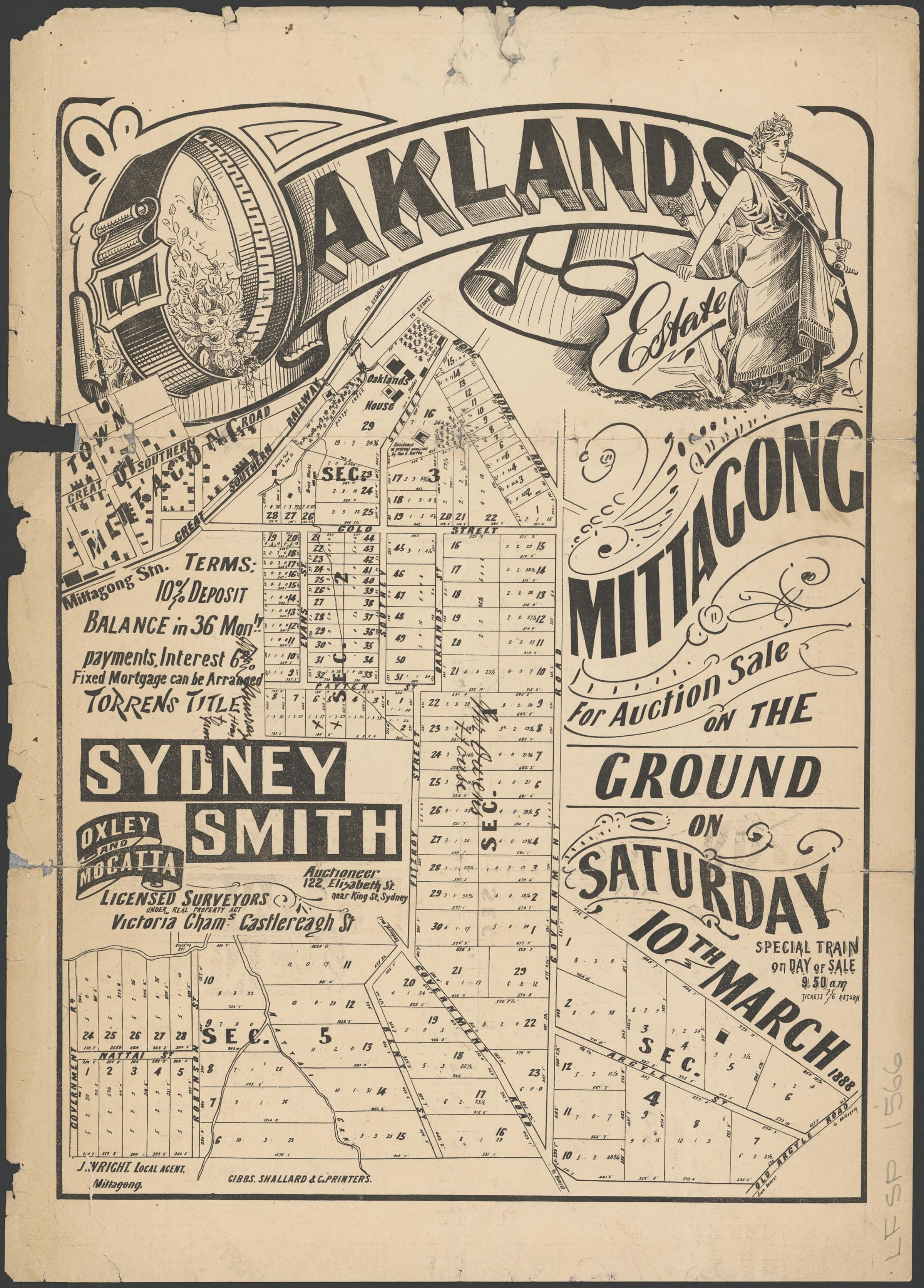
The Oaklands estate illustrates changing land use at Mittagong’s northern entrance. Philip Morton traces its former inn and boarding school, the sale of the estate in sections from 1887, and the brickworks and milk depot that operated nearby. The Malting Company of NSW acquired a large undeveloped portion in 1898; its first malthouse opened in 1899 beside the railway and Nattai Creek. Tooth & Co bought the works in 1905 and expanded them over the following years. Estate plans and land records can help trace the individual parcels.[40]
The railway and healthy mountain air
The railway station and yard are a useful landmark for tracing this change. Heritage NSW records that the later opening of the Yarrawa Brush for farming in the 1860s increased the importance of the railhead at Moss Vale for produce and freight, while the Council’s heritage overview says Mittagong, Bowral and Moss Vale grew quickly with the Main Southern Railway. The 1991 heritage study also identifies the Bessemer Street timbermills and the Mittagong Maltings, opened in 1899, as significant evidence of the town’s industrial history.[19][23]
The railway also helped make Mittagong a centre for dairy processing. A contemporary account reproduced in the Society newsletter describes the two-storey stone creamery beside the station, with its own railway siding. Milk came by rail from Moss Vale and by cart from Bowral and nearby farms; butter was sent to Sydney in refrigerated railway cars.[54]
The Willows illustrates the early health-tourism economy north of Mittagong. A Sydney Morning Herald account from 1869, reproduced by Philip Morton, describes a visitor arriving by train at Rush’s Platform and walking to Bartholomew Rush’s boarding establishment, set among gardens and fields. The newsletter says the property had previously been the Prince Albert Inn. The contemporary account records how the place was presented to visitors; maps, directories and land records can help establish its precise site and later history.[44]
The Society’s Lee and Dawson family history connects stonemason Joseph Lee with the railway tunnel, local churches and the school building. His family home, Leslie Cottage in Queen Street, bears the date 1879; the account also follows Albert and George Dawson’s store and Claude Lee’s music and civic work. The newsletter notes uncertainty about Joseph’s relationship to Frederick Lee, which should be checked against family records.[32]
The Society’s account of builder Charles Grove records his work on the stone public school opened in Queen Street in 1878, now the library. It places the school on land in the New Sheffield subdivision and connects Grove’s earlier work to the Fitzroy iron mines. Consult the article and original records for the separate stages of the building’s history.[33]
Community, music and the lake
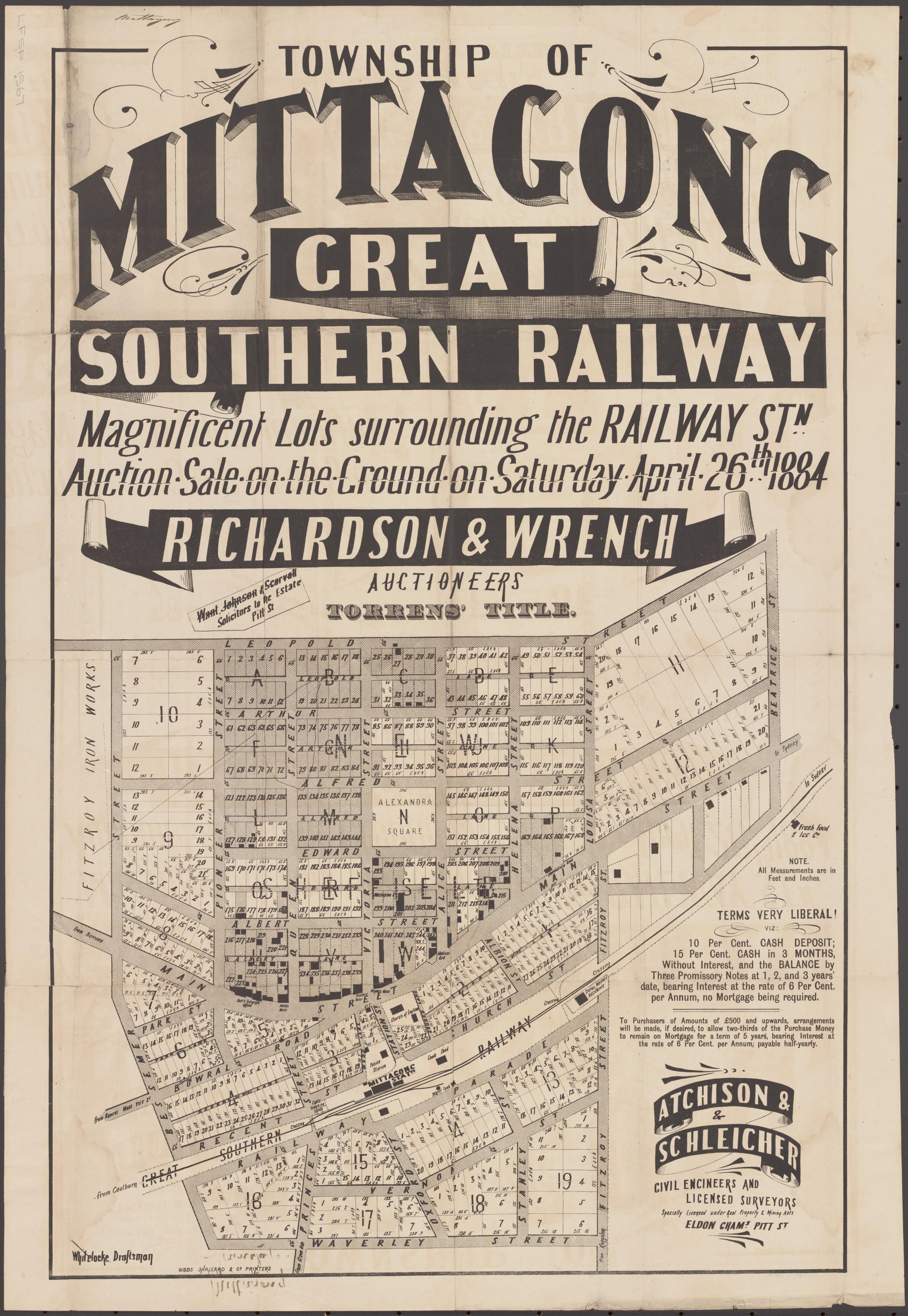
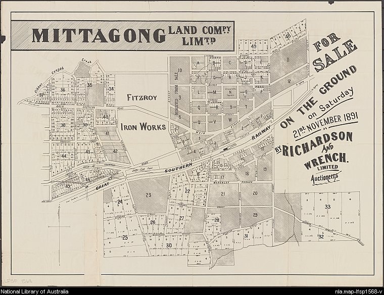
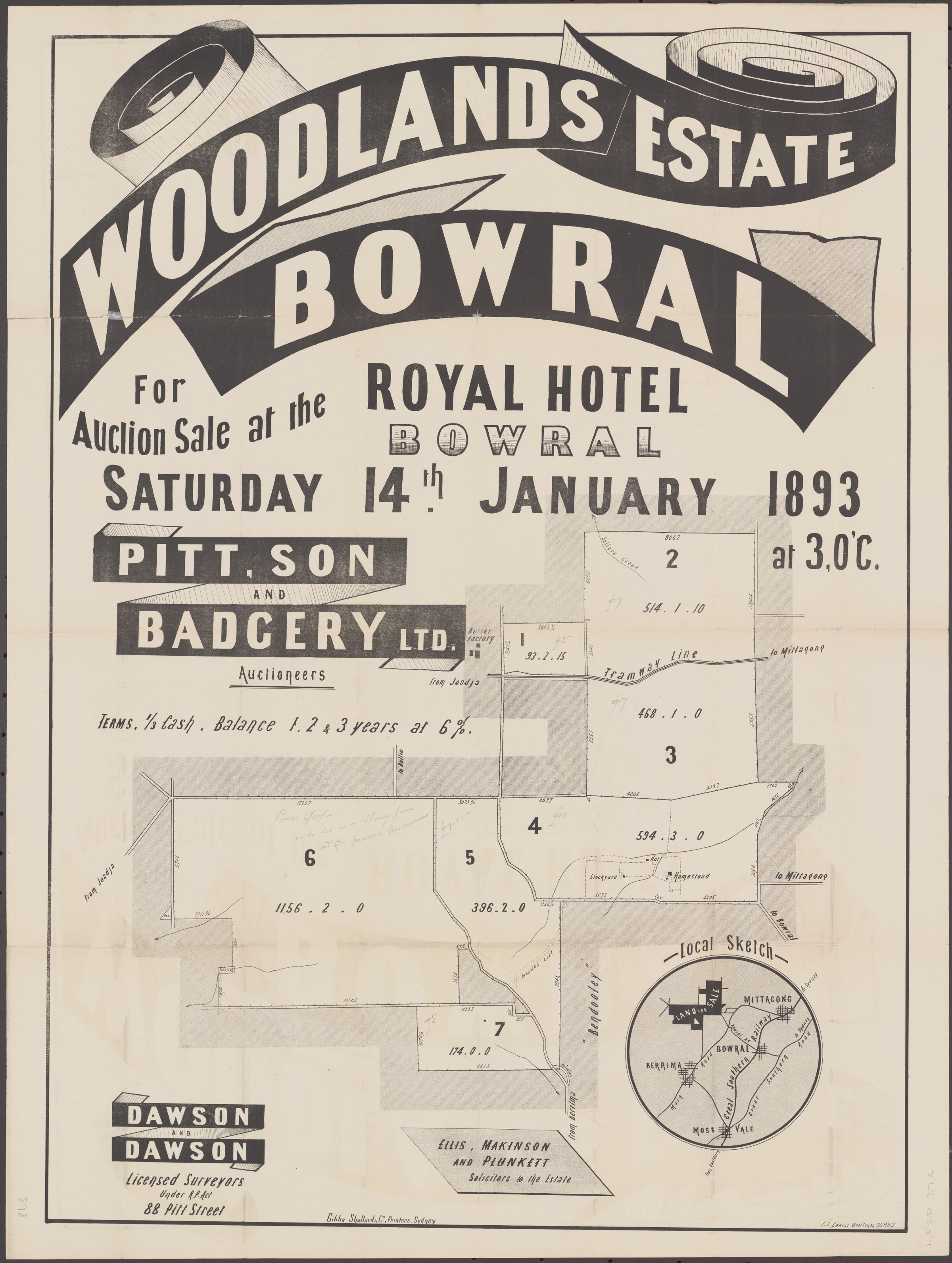
The State Library lists an 1884 township sale plan for lots around Mittagong railway station, Z/TP/M4/25, and a 1906 Mittagong Land Company plan, Z/TP/M4/7. The catalogue lists streets and sale dates, providing useful starting points for locating the individual plans and tracing later development.[31]
The 1884 township auction poster places the railway at the centre of a planned land sale. Richardson & Wrench advertised numbered lots on both sides of the line for 26 April, showing Alexandra Square, streets and the Fitzroy Iron Works as landmarks. The plan and its payment terms reveal how the land was offered; title and sales records are needed to establish which blocks changed hands.[41]
Mittagong Town Band was a fixture at public gatherings for generations. Philip Morton records fundraising in 1881, practice in a rotunda erected in Alexandra Park in 1891, and the band’s presence at wartime farewells and the return of servicemen at the railway station. Its bandmasters included George Vincent, who also led Bowral’s band, and Victor Yields, who served until 1970. The account says the band ceased in the mid-1970s, with later community bands continuing the tradition.[46]
Lake Alexandra and the old tramways show how industrial works shaped the landscape. Railway historian David Kemmis proposed that the lake began as a creek dam associated with a cable tramway built around 1874, before water was drawn for the ironworks in 1876. He based this interpretation partly on the alignment shown on maps and distinguished it from an earlier account dating construction to 1876. His proposal remains an interpretation to test against contemporary plans and records.[49]
Mittagong’s School of Arts began with a reading room in 1886. According to the Society’s account, the committee moved through several proposed sites before opening its brick building at Main Street and Bowral Road in 1899, with help from brewer Arthur Tooth. The hall opened behind it in 1911. The article cites committee correspondence identifying sandstone from the Fitz Roy Iron Works and describes the purchase of materials from a Joadja hall; accounts of the stone’s origin differ, so the surviving correspondence offers an important lead.[53]
War, memorials and new development
Railway history in Mittagong also includes industrial sidings. Philip Morton’s 2017 account describes the Australian Kerosene Oil Company’s Joadja siding and another private railway approaching the town.[27]
The Mittagong war memorial was unveiled on 18 December 1920 after local fundraising. Ian Mackey’s retrospective describes the trachyte name tablets, the electric clock and the community events that supported construction.[34]
The Mineral Springs subdivision shows how land around the spring was promoted for development. A Robertson Advocate report reprinted by the Society says its roads were complete in August 1918 and lots were offered through local agent J. Napier. It names Henderson Avenue after a company director and Rainbow Road after assistant shire engineer H. Rainbow, whose suggested curve joined the roads. The report establishes an offering and road names at that date; it does not establish which lots sold or when they were built on.[37]
The McBean family’s story links Mittagong to the First World War and its aftermath. The Society records that brothers Donald and George lived in the district; George was killed at Gallipoli in 1915, while Donald served in the Light Horse and returned in 1919. His descendant Glenda Miskelly contributed family information and described a collection of his wartime photographs. The article also follows Donald and Maud’s daughters and later moves, providing leads to compare with service and family records.[42]
The twentieth-century town
Mittagong’s airfield grew from an emergency landing ground into a wartime airstrip. A Society article recounts a 1928 Aero Club visit interrupted by fog and says the field was constructed in 1944. Local resident Alan Worner recalled trucks carrying gravel and shale and associated the work with the 1942 maltings fire, suggesting an earlier completion date. The same issue reproduces a 1940s RAAF landing-ground plan showing taxiways and dispersed aircraft bays. These differing dates warrant checking against contemporary defence records; the plan is available in the newsletter and a larger copy was reported in the Society archives.[43]
Talgarno private hospital operated in a house at the corner of Alice and Edward streets during the 1920s. The Society’s history uses contemporary newspaper reports to describe Matron Drummond’s care for patients unable to pay and the resulting Mittagong Hospital Relief Trust Fund. The hospital had closed by 1933 and the property was advertised for sale; the building subsequently served as a boarding house and later as a residence.[52]
John McColgan’s reminiscences of Mittagong in the 1930s add a personal view of everyday life: neighbours chatting from verandahs, bread and milk delivered by horse and cart, ice-boxes and reused kerosene tins. He also recalled picture shows, community singing, children’s games and remains of the Joadja tramway. His account is a retrospective and its dates and details should be checked against other records.[36]
Newspaper extracts reveal the pressures of the Depression on Mittagong households. The Mittagong Star reported that Tooth & Co’s maltings began rotating employees off work in December 1930. In June 1931 it described a Toc H soup kitchen in Main Street, supplied with food and firewood by local donors and supervised by unemployed chef George Dennis. The report also records soup being sent to Colo Vale. These contemporary accounts provide names and dates for further research into relief and working life.[39]
In 2018 Society researchers assisted the Museum of Fire with the centenary history of Mittagong Fire Station and Brigade. The newsletter reproduces a Southern Mail report of the station’s opening on 12 September 1918 and a later account of its equipment: a horse named Sundowner pulled a turbine fire engine, and a motor engine arrived in 1926. The two newspaper accounts offer different kinds of evidence-the first contemporary, the second a retrospective.[30][35]
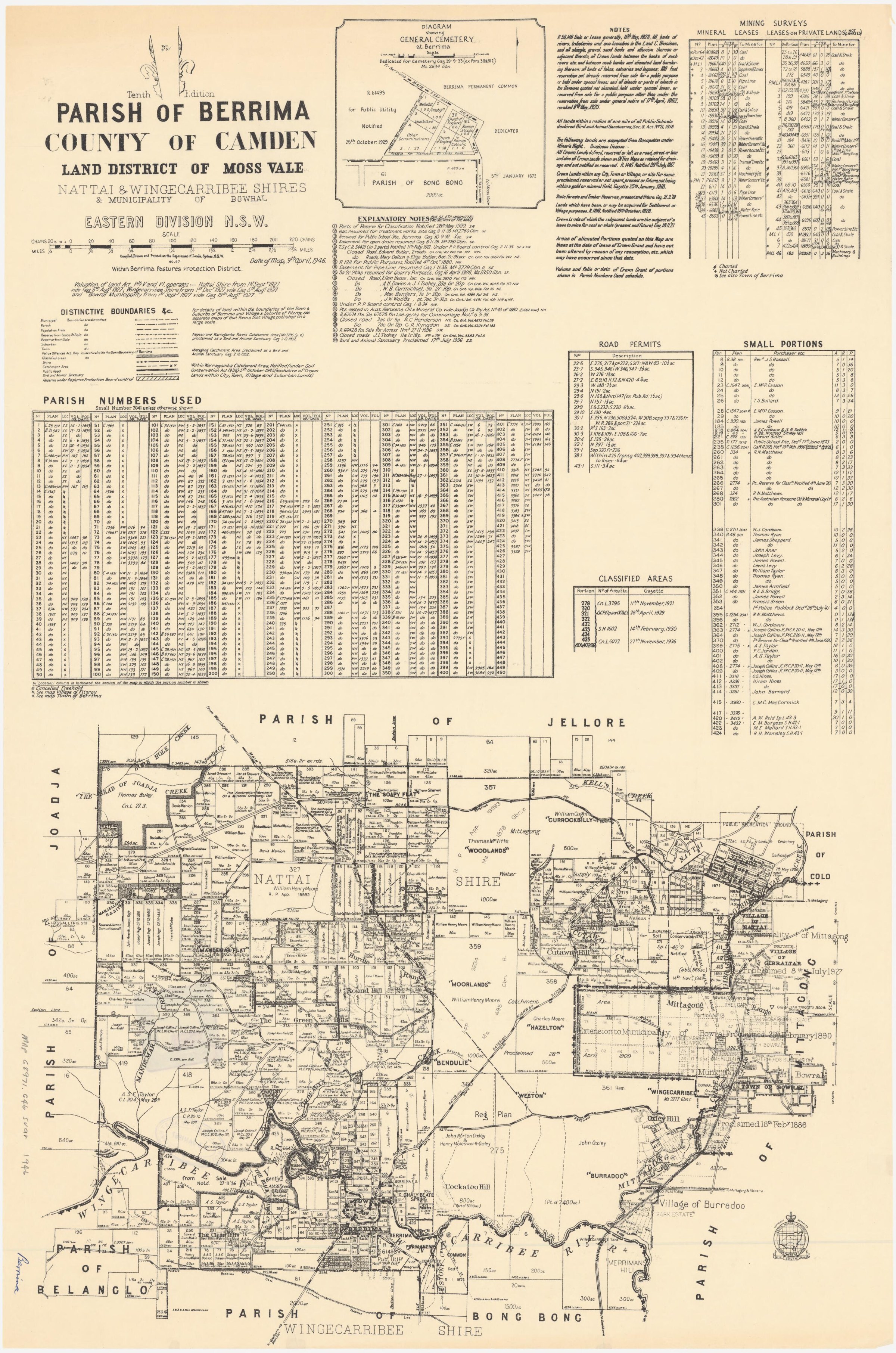
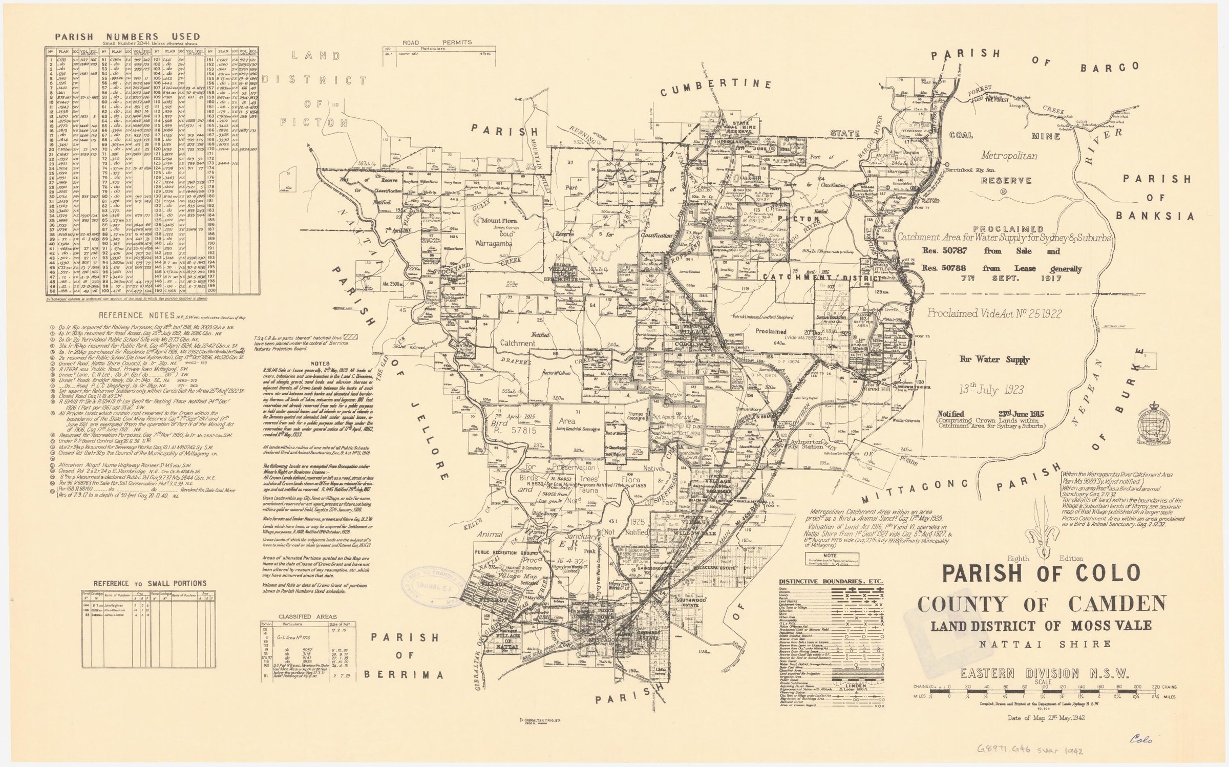
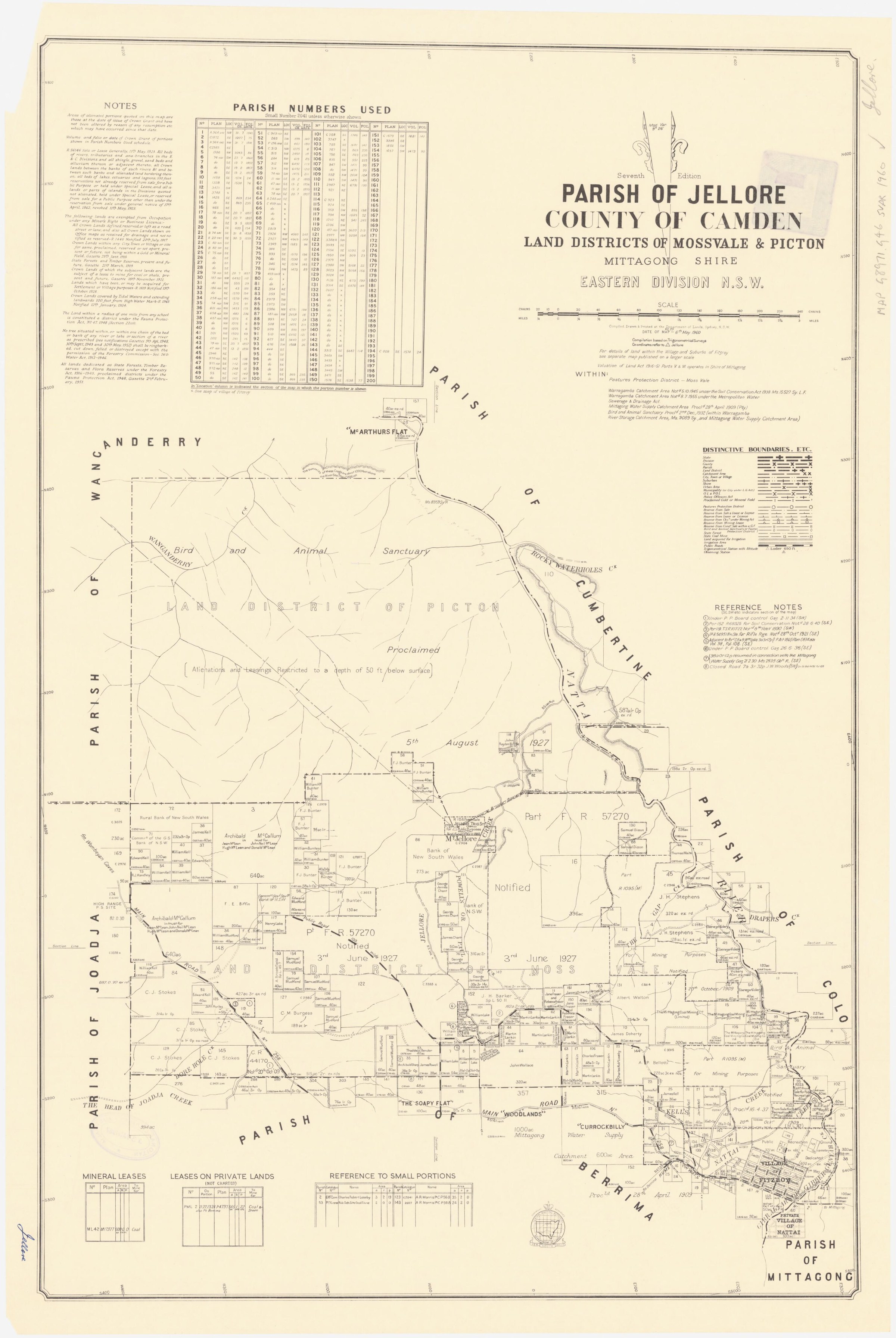
Changing places and memories
Mittagong’s northern approach was reshaped by a long campaign to avoid the Drabbles and Maltings railway bridges. Philip Morton traces delayed road proposals, concern over the bowling green and golf links, and the bowling club’s move to Alexandra Square, where its new green opened in 1960. The deviation opened in June 1963 on the western side of the railway, with a raised crossing over the still-operating Loop Line. Its construction altered the frontage and entrances of the town’s recreation grounds.[38]
Local historian Claude Lee recalled the loss of the old Fitzroy ironworks blast furnace, describing people removing bricks and other material before the remaining structure was sold for demolition. John McColgan’s account, reproduced in the Society newsletter, says the furnace material was used in cottages and notes that the works lay within Mittagong Municipal Council rather than the Nattai Shire for which Lee was clerk. His recollection is a valuable contemporary perspective on industrial heritage, to be checked alongside demolition and council records.[45]
The Mittagong Moon Rocket in Winifred West Park is recalled in a Society history of playground equipment. Linda Emery describes the structure and its manufacture by Dunlop Steel Fabrications of Bowral.[29]
A railway dam on Nattai Creek later became a place for recreation. The Society records that George Boswell, his son Reg and other volunteers worked with the council from 1930 to clear the site and build dressing sheds and a kiosk. Mittagong Baths opened on 7 February 1931, followed by a swimming carnival and diving exhibition; the pool was upgraded in 1959.[55]
For people-and-place research, the Library Archives Collection holds Mittagong Municipal and Shire Council minutes, valuation and rate books, licences, registers and an infectious-diseases register. The Society’s own database indexes a Mittagong infectious-diseases register for 1898-1938; use it as a lead and check the underlying record’s scope.[21][22]
The State Library of NSW lists historical subdivision and auction plans for this town, with estate names, streets, dates and catalogue references. The listings offer leads for tracing proposed land sales; consult the individual plans and other records to establish what was actually sold or built.[31]
More views of Mittagong
Select a thumbnail to see the larger image. Captions and credits follow the available source records.
Browse local photographs linked to Mittagong
Explore the Society’s photographs for sale
Read the landscape
1838 holdings
View the annotated map on page 5 of the linked newsletter.
Rowe land holdings in Lower Mittagong: mapped interpretation
The annotated map is captioned as Thomas D. Rowe’s 1838 holdings but includes later place and estate labels. Treat the outlines as a retrospective interpretation, not a map necessarily made in 1838, and check grants and survey records for boundaries.
Related places: Mittagong, Renwick, Balaclava
Mapped interpretation reproduced in Society newsletter 538, June 2021, p.5; base map and annotation source not identified there.
View the newsletter; confirm the base map and annotation rights before reproduction.
1881
View figure 4 on page 15 of the linked conservation plan.
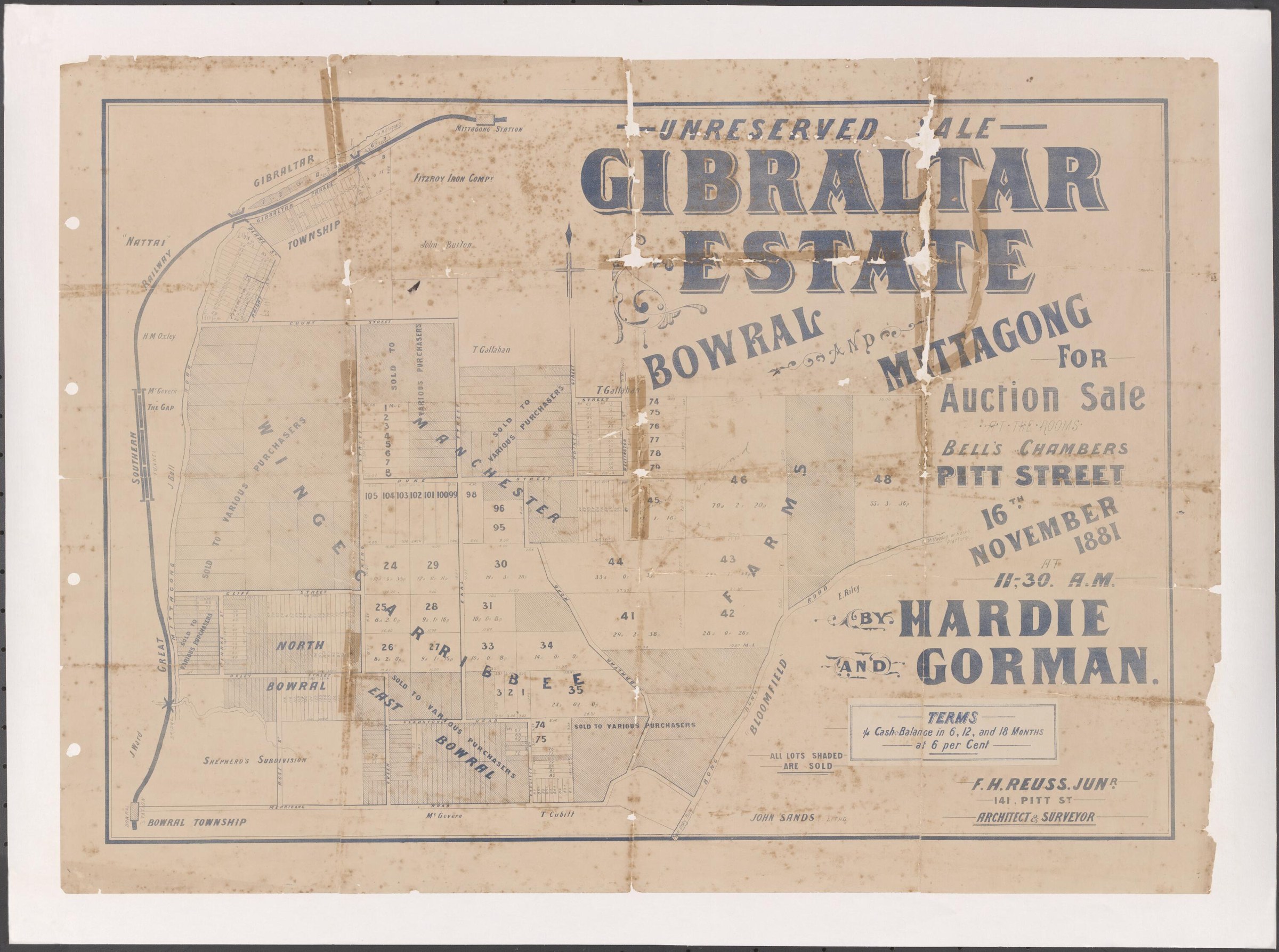
Gibraltar Estate auction plan and Shepherd’s subdivision
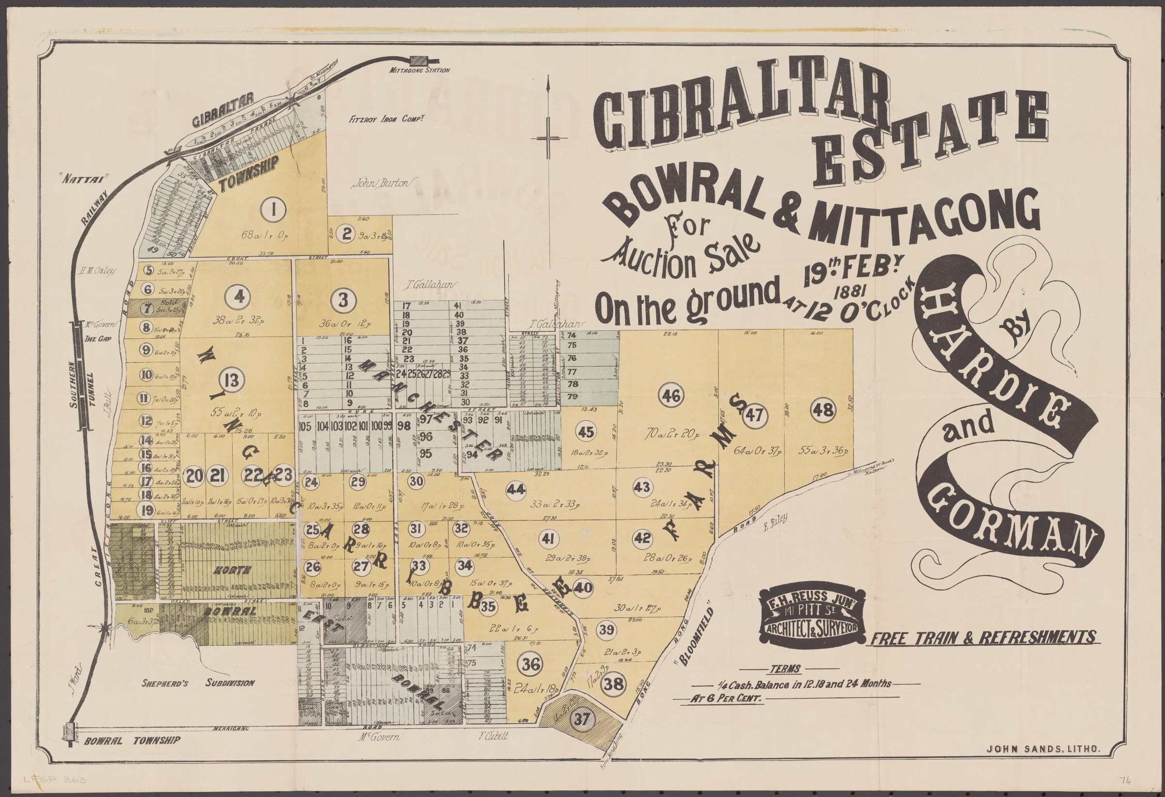
The poster advertises a 19 February 1881 auction for Gibraltar Estate, Bowral and Mittagong. The enlarged extract shows Mittagong Rivulet and Shepherd’s subdivision; the accompanying conservation plan traces part of the area through later ownership and dedication as a public reserve. The map shows lots offered for sale, not evidence that each was sold.
Related places: Bowral, Mittagong
1881 auction plan credited to the National Library of Australia, reproduced with an enlarged detail in the adopted Bowral Vietnam War Memorial and Cherry Tree Walk conservation management plan, figure 4, p.15.
View the reproduction in the Council conservation plan; confirm the National Library original and reuse conditions before reproducing it separately.
1882
Catalogue reference · display image to be added after reuse checks.
Balaclava Plains subdivision plan
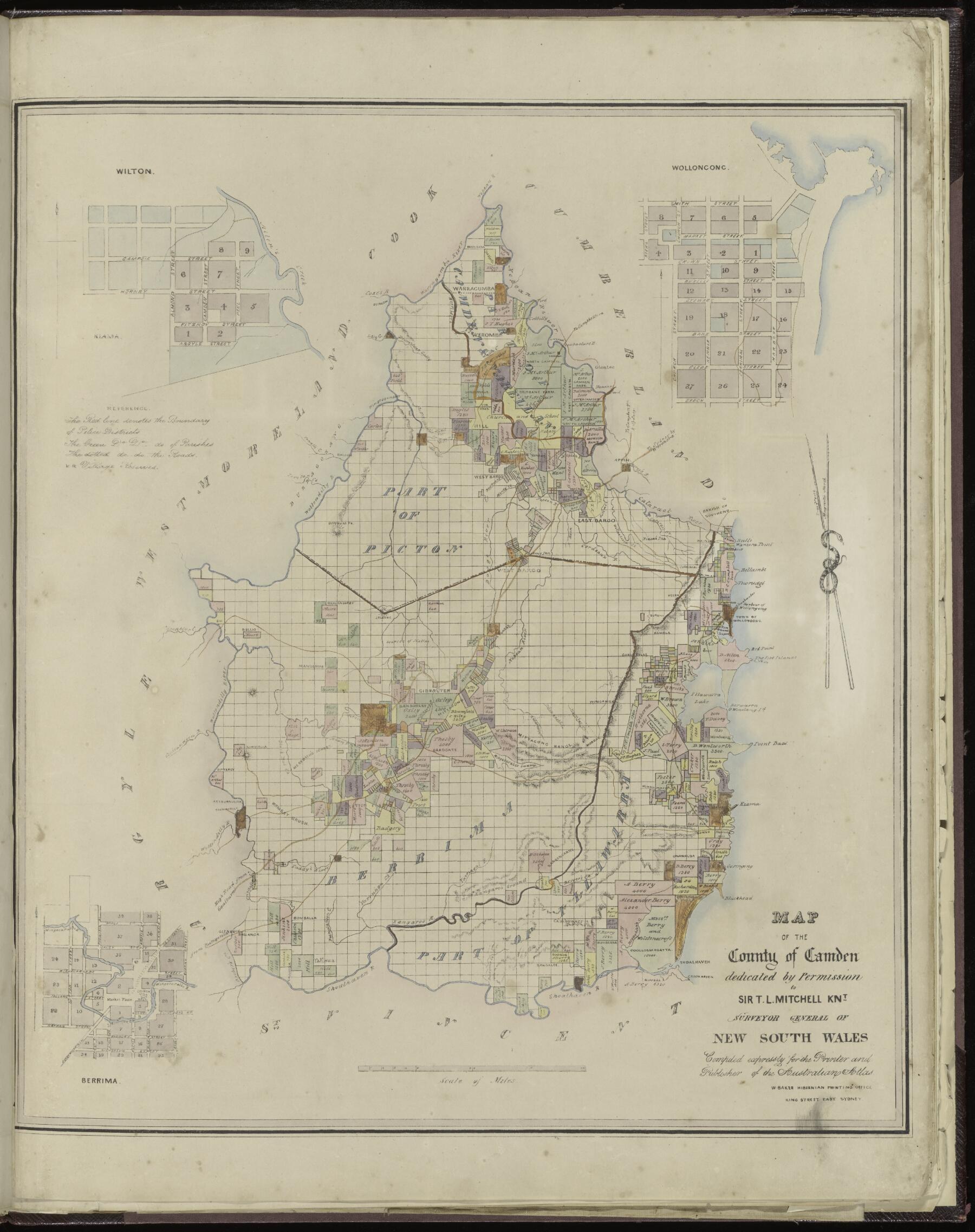
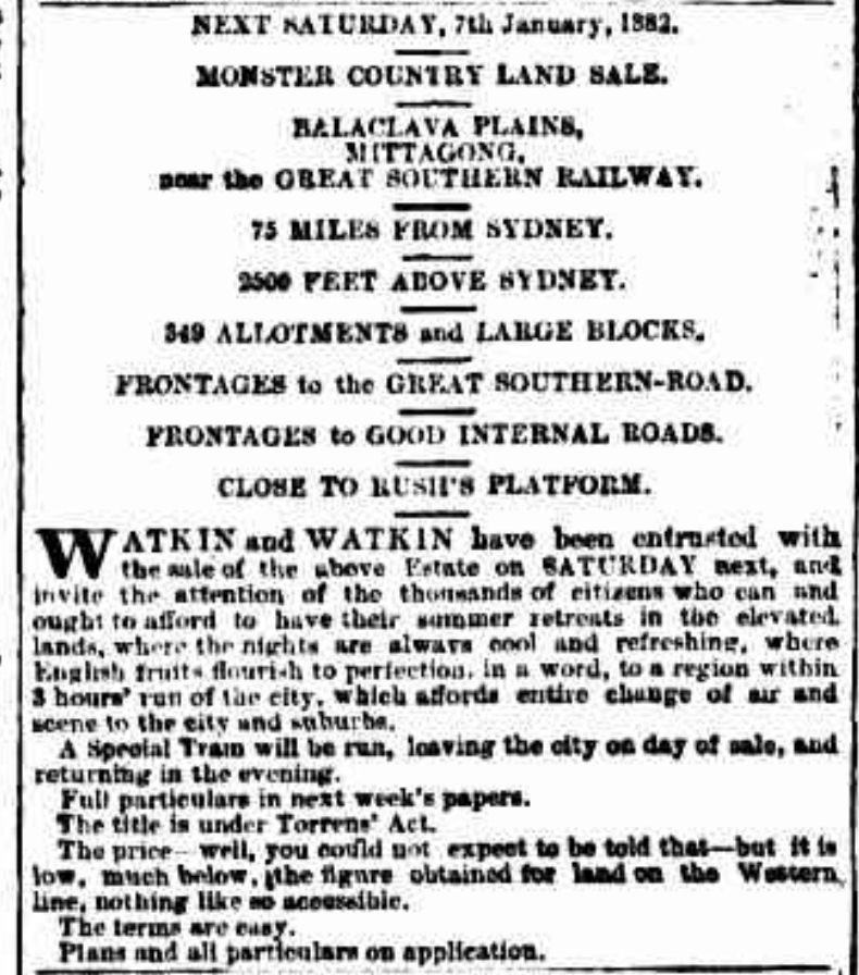
The State Library lists a plan dated 7 January 1882 with Balaclava Road, Great Southern Road and several neighbouring streets. The link is to the catalogue list, not an image of the map.
Related places: Balaclava, Mittagong
State Library of New South Wales, Mittagong subdivision plans, Z/TP/M4/18.
Ask the State Library about access and reuse conditions.
1884
Catalogue reference · display image to be added after reuse checks.
Township of Mittagong: suburban portions
The State Library indexes a plan dated 6 December 1884 with streets including Princes, Oxford, Stanley and Bessemer streets, Bowral Road and Railway Parade. The link is to the list, not a digitised map.
Related places: Mittagong
State Library of New South Wales, Mittagong subdivision plans, Z/TP/M4/1.
Check the State Library item record for access and reuse conditions.
1897
Catalogue lead; the original plan has not yet been inspected.
Box Vale Estate, Mittagong: sale plan
The library lists an estate plan dated 1 June 1897 describing 580 acres as coal land also suitable for grazing. The catalogue gives no boundaries. The plan has not been inspected, and the catalogue description does not establish a completed sale.
Related places: Mittagong
State Library of New South Wales, Mittagong subdivision plans, Z/TP/M4/32.
Consult the State Library for access to the original and its reproduction conditions.
1906
Catalogue reference · display image to be added after reuse checks.
Mittagong Land Company subdivision plan
A plan dated 27 January 1906, indexed with Lyell, Cavendish, Bessemer and other streets. The linked source is a catalogue list; check the library’s item access options.
Related places: Mittagong
State Library of New South Wales, Mittagong subdivision plans, Z/TP/M4/7.
Check the State Library item record for access and reuse conditions.
Modern interpretation
View the plan on page 3 of the linked newsletter.
Lower Mittagong topographical plan
The drawn plan locates the old road, windmill site, Rowe’s cottage and other landscape features. It is a later interpretive drawing, not a contemporary nineteenth-century survey; consult the underlying evidence when locating individual features.
Related places: Mittagong, Renwick
I. V. Mackey, Lower Mittagong Topographical Plan, reproduced in Society newsletter 538, June 2021, p.3.
View in the Society newsletter; check the creator’s reproduction conditions before extracting the drawing.
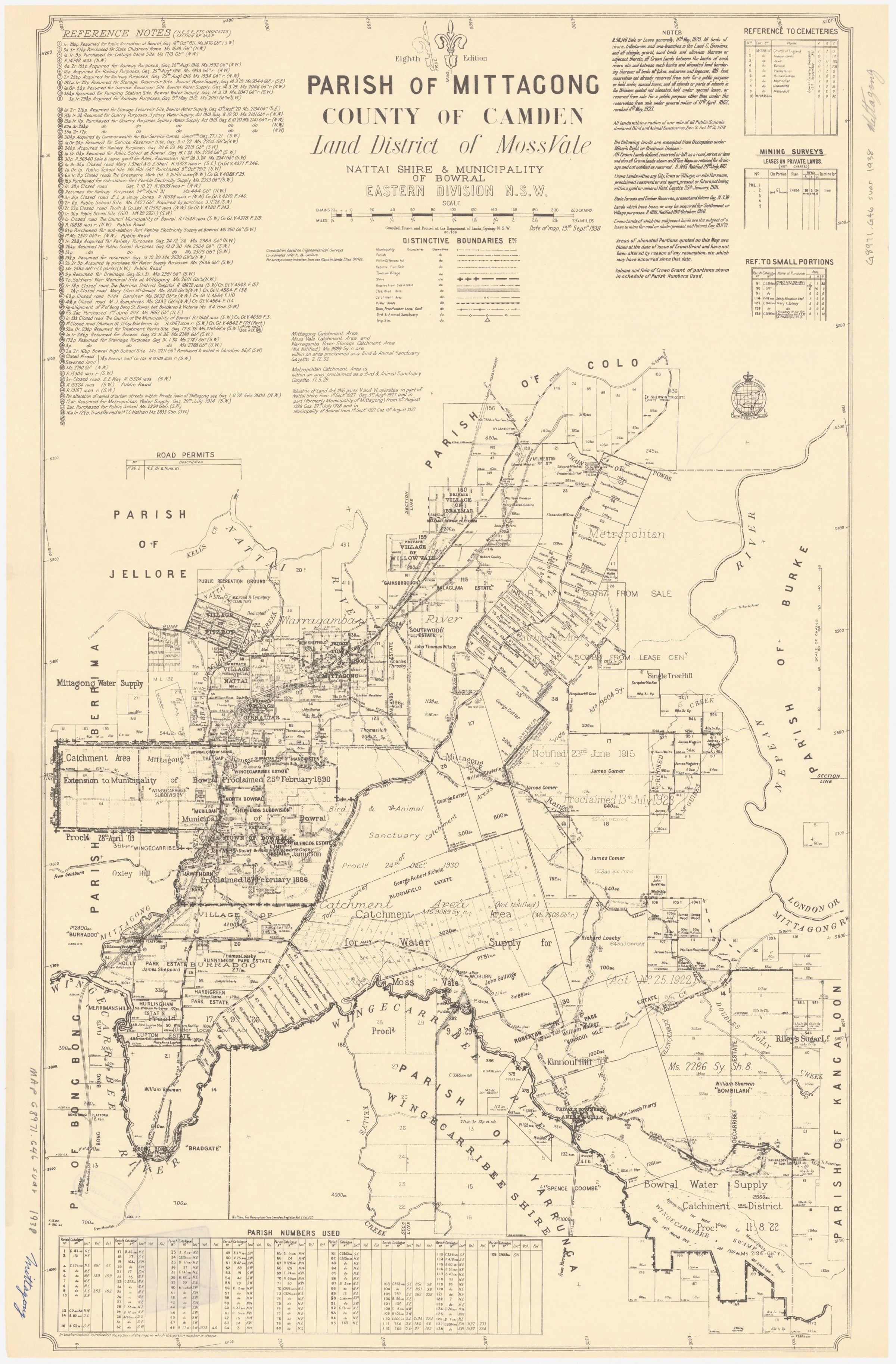
Browse maps and plans linked to Mittagong
Newsletter Mentions
Stories about Mittagong in the Society’s newsletters.
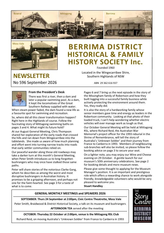
September 2026
- Linda Emery traces Mittagong swimming pool from its former dam through volunteer work, Boswell Park and later alterations (pp.4-5).
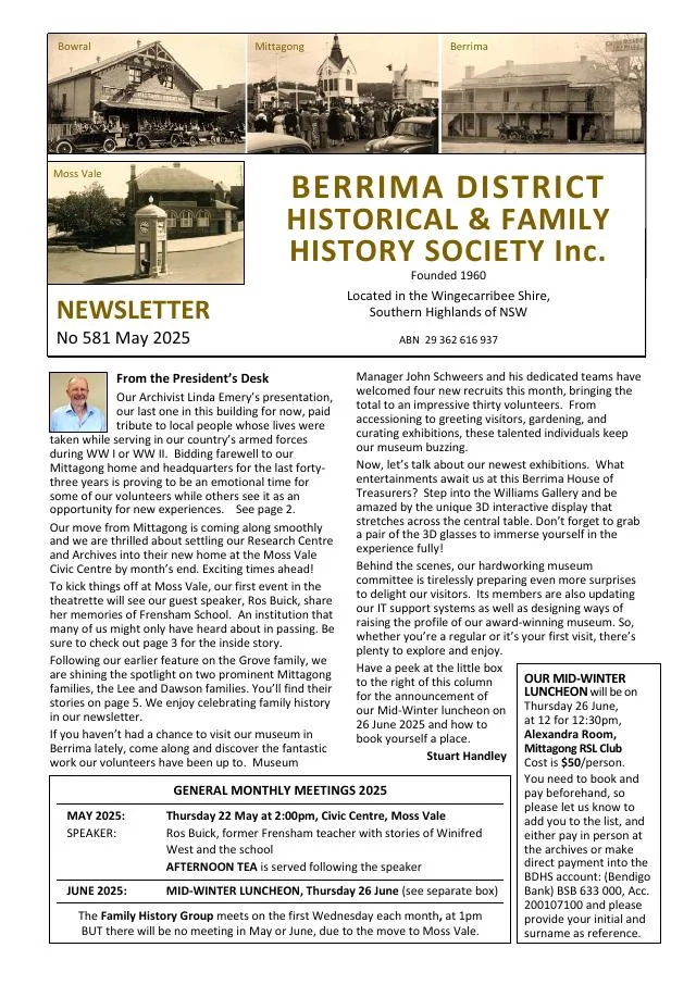
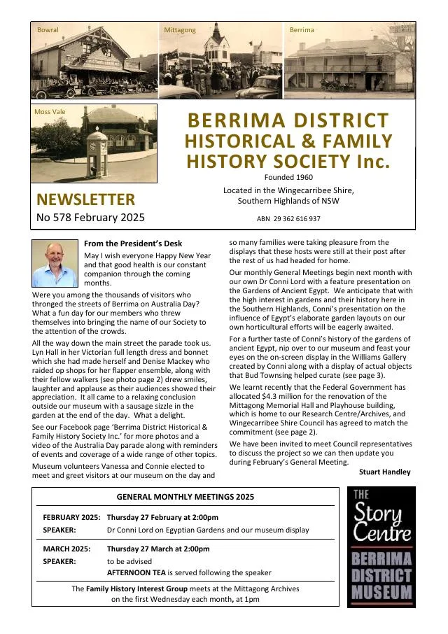
February 2025
- Linda Emery’s research follows Charles Grove and his sons from Mittagong to Bowral and identifies their terrace houses and public buildings (pp.5-7).
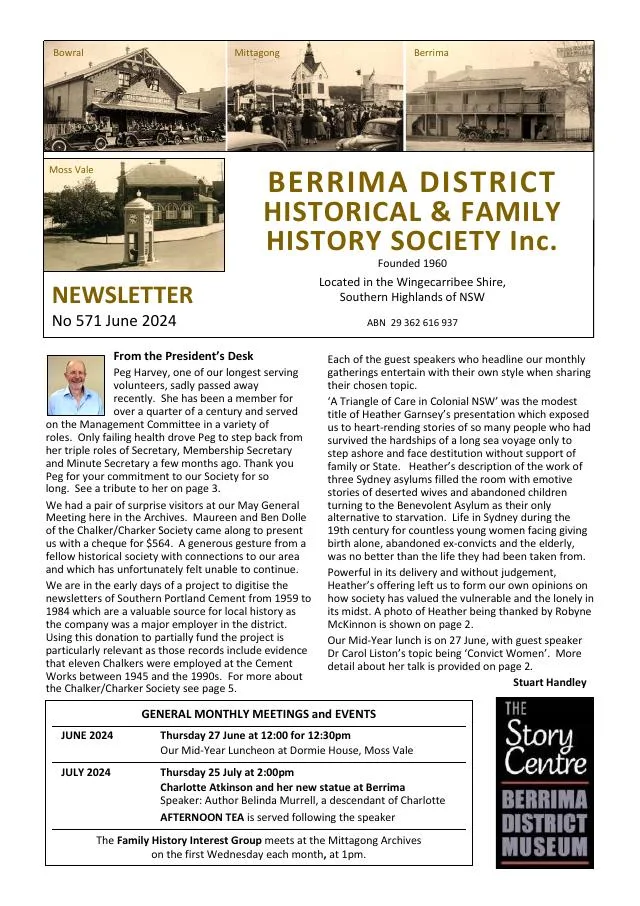
November 2023
- Museum volunteers and group visits are recognised, and a recollection of Mittagong telephonist Jean Tebay appears (pp.2, 6).
August 2023
- A display of Mittagong Maltings objects and drawings and a list of recent library acquisitions provide further research leads (pp.6-7).
April 2023
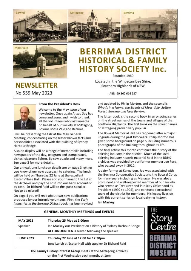
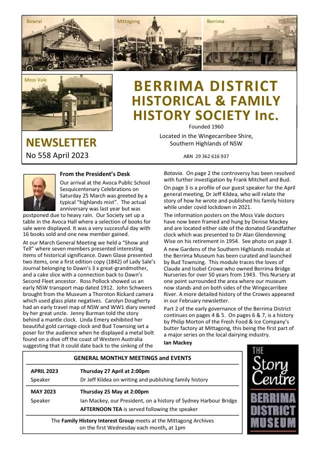
- The first instalment of a dairy history discusses Thomas Mort’s Fresh Food & Ice Company, refrigeration and the Mittagong creamery (pp.6-7).
February 2023
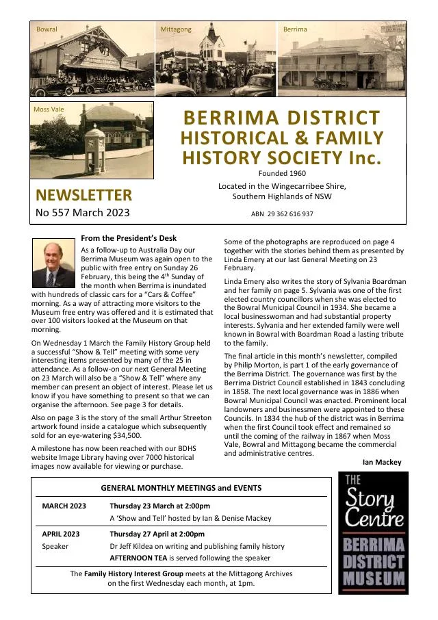
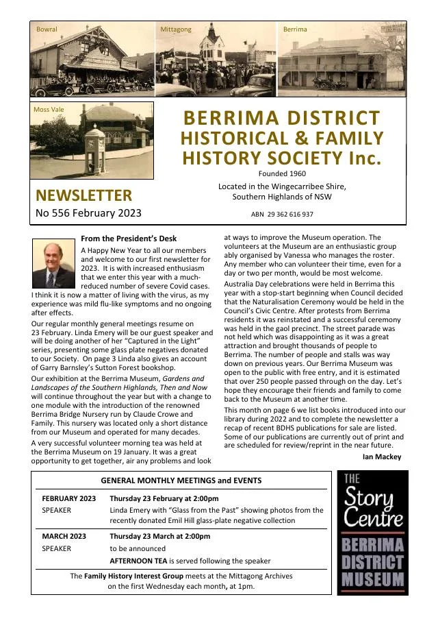
- Linda Emery introduces over 100 donated Emil Hill glass-plate negatives, including Mittagong waterworks, the Commercial Hotel and the swimming club (p.3).
- Recent Society publications cover Exeter, Mittagong street names, early Berrima, Aboriginal history and the First World War internment camp (p.7).
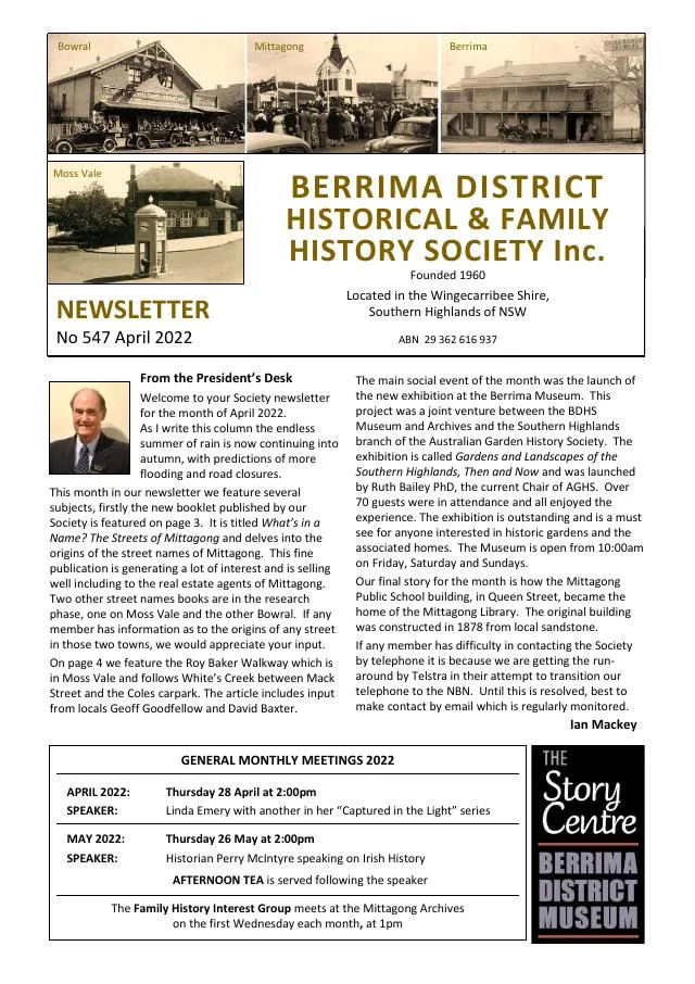
April 2022
- Mittagong’s early public school and the Queen Street building’s later use as a children’s library are traced (pp.6-7).
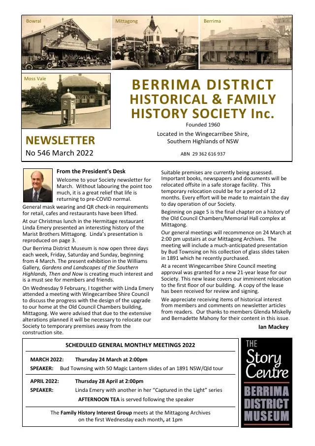
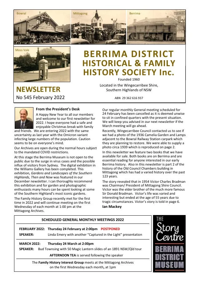
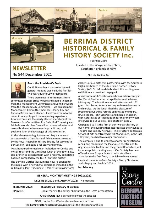
December 2021
- Mittagong’s School of Arts, established in 1886, grew into a building used for community and civic purposes (pp.5-7).
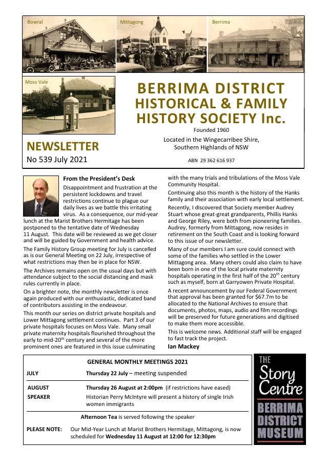
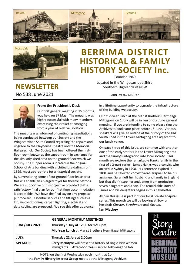
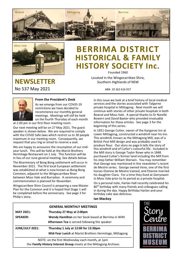
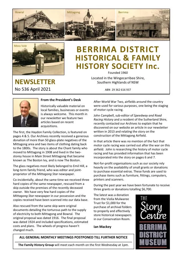
April 2021
- A donated collection of glass-plate negatives opens a story of the Haydon and Chant families of Mittagong (p.4).
- Emil Hill’s scrapbooks reveal his printing family and interests in Mittagong music and sport (p.5).
- The 1948 Iron Week celebrations and the changing uses of Lower Mittagong airstrip are described (pp.6-7).
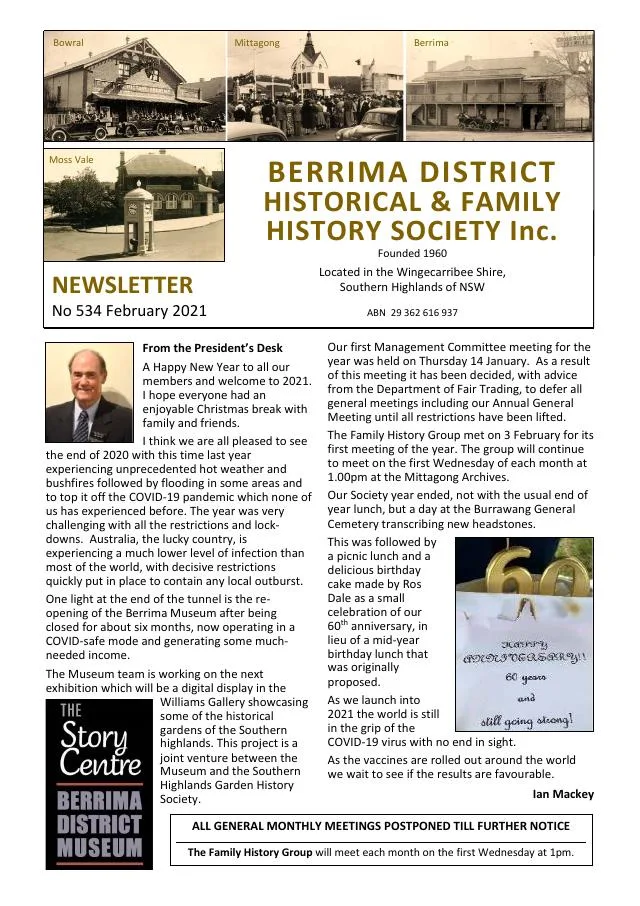
February 2021
- Linda Emery traces the people associated with a house on Mittagong Road, Bowral (p.3).
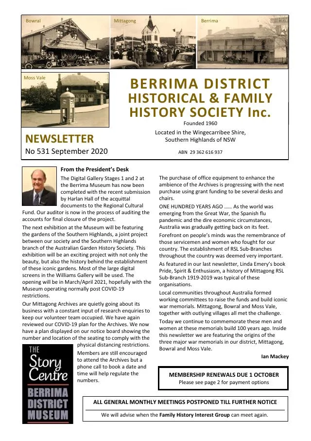
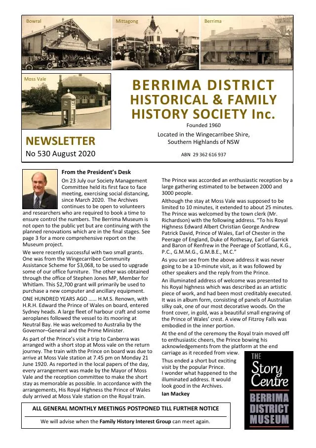
August 2020
- Linda Emery’s history of Mittagong RSL Sub-Branch records its first century and the women’s auxiliary (p.5).
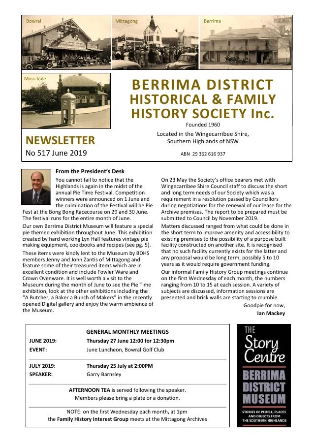
June 2019
- The Lindsay family of Mittagong describes a visit to First World War graves and donates photographs from Villers-Bretonneux to the archives (p.3).
- Linda Emery’s street-names project connects early subdivisions with royal, scientific and Crimean War naming themes in Mittagong and Balaclava, and with the Throsby and Tomley families in Moss Vale (p.4).
- Yerrinbool marks the centenary of the Picton-Mittagong deviation through Bargo and the northern villages (p.2).
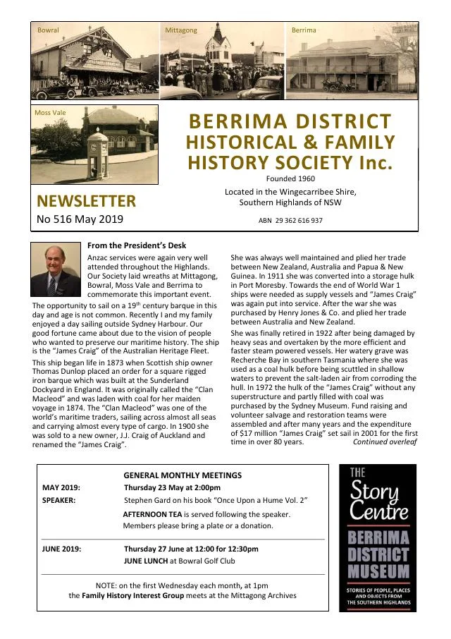
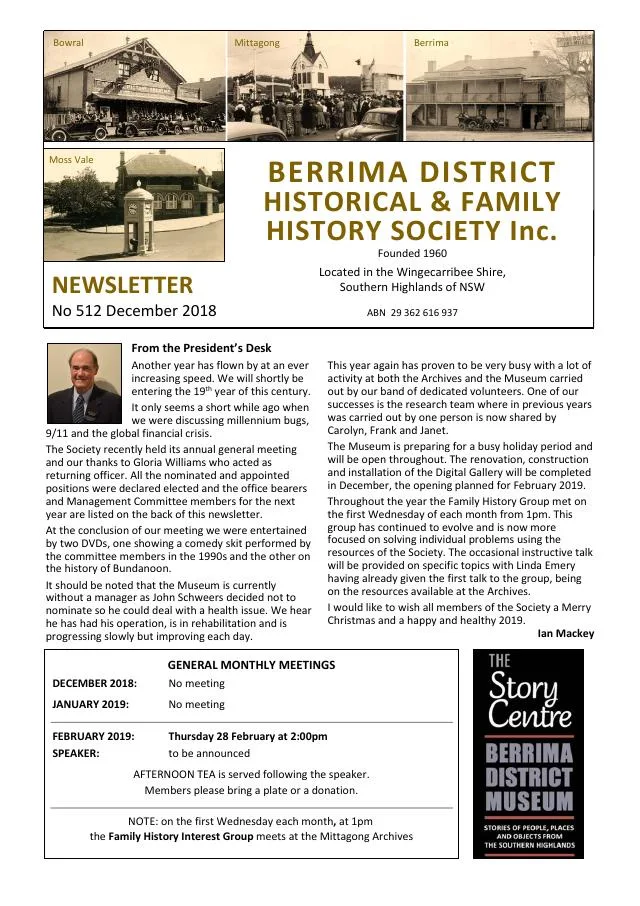
December 2018
- Linda Emery presents an armistice commemoration address at Mittagong (p.4).
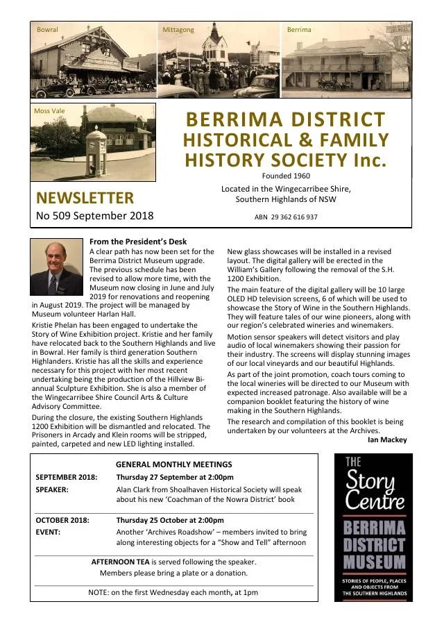
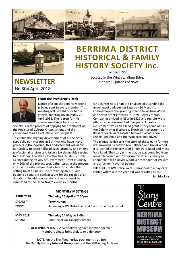
April 2018
- Linda Emery recounts the history of the Mittagong Moon Rocket playground structure (p.4).
September 2017
- A cemetery sign recounts land donated by Thomas Troy at Lower Mittagong (p.4).
August 2017
- McColgan recalls domestic life, entertainment, industrial traces and the 1939 bushfire in Mittagong (pp.6-7).
April 2017
- Philip Morton traces Mittagong’s railway facilities, private sidings, duplication and the Loop Line (pp.4-5).
March 2017
- Philip Morton traces the opening and early facilities of Mittagong railway station (p.5).
December 2016
- Philip Morton traces the Graham sisters and their families in Mittagong and Braemar (pp.4-5).
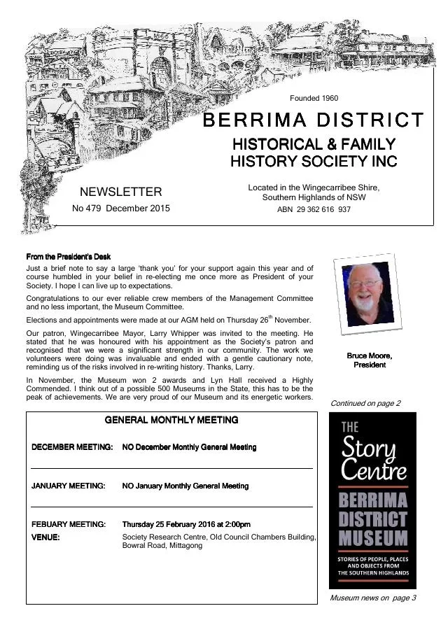
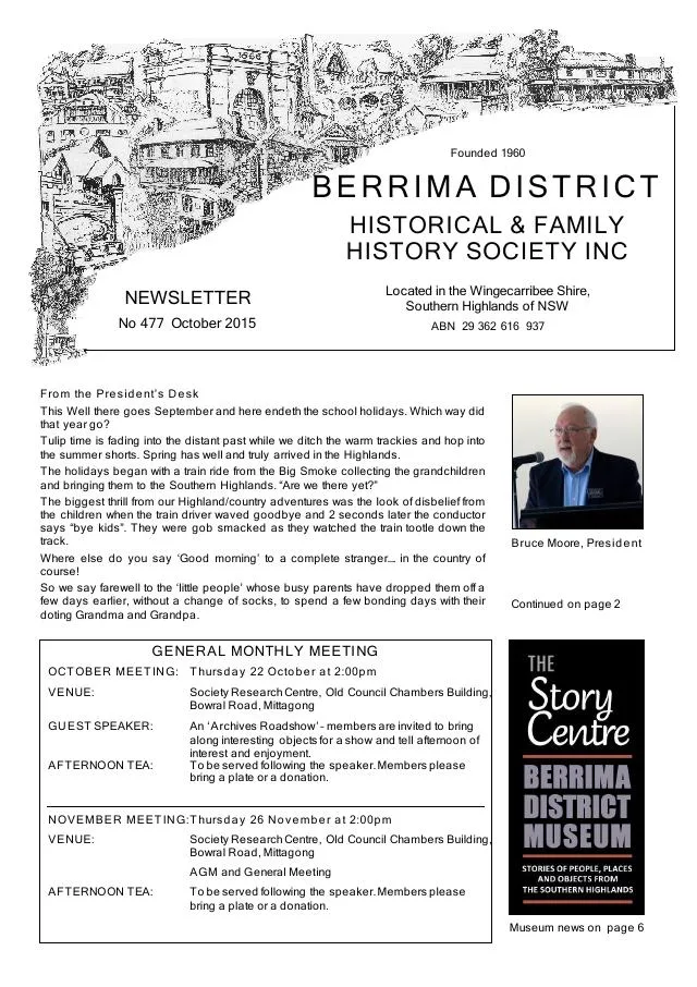
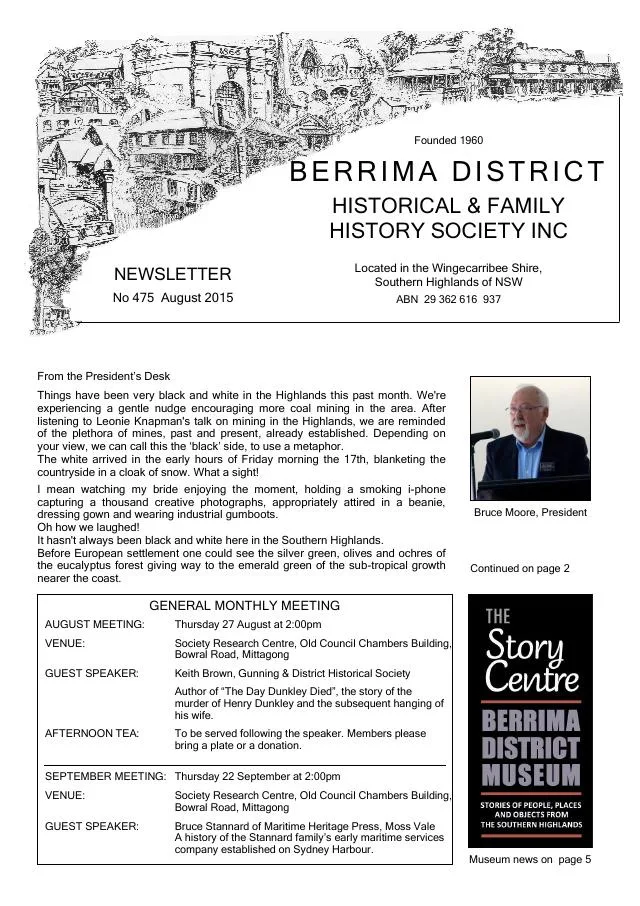
August 2015
- Michele Woods tells the story of Mittagong soldier Dick Pitts and his family; Philip Morton describes Wallis family research and Mittagong’s 1901 council photograph (pp.5-6).
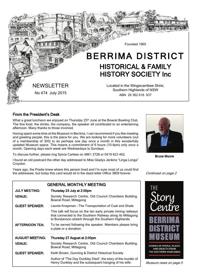
June 2015
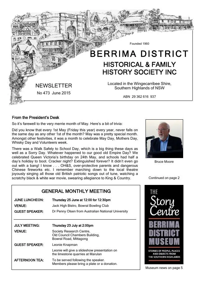
- The issue records Mittagong’s church, public school and ironworks anniversaries and the launch of a heritage circuit (pp.2-3, 7).
March 2015
- A history of Mittagong’s northern railway bridges traces road accidents and the campaign for a deviation (p.6).
February 2015
- Philip Morton recounts the 1902 death of Mittagong gatekeeper Edward Nicholls and the inquest (p.7).
December 2014
- The issue explains the 1914 approval of the Picton-Mittagong railway deviation and its opening via Bargo in 1919 (p.6).
January 2014
- Philip Morton traces the Mittagong Maltings’ water supply, fires, mechanisation and closure (p.5).
November 2013
- Philip Morton describes the architecture, working methods and employees of the Mittagong Maltings (p.4).
August 2013
- Society members describe historical tours of Mittagong and of Bowral and Moss Vale churches and cemeteries (p.3).
January 2013
- A history of Mittagong airfield is accompanied by Alan Worner’s account, a different suggested completion date and a reproduced 1940s RAAF plan (pp.5-6).
October 2012
- Philip Morton traces the roads, railway, inns and guest houses that supported tourism, including an 1869 account of Rush’s Willows near Mittagong (pp.4-5).
January 2012
- Philip Morton traces Mittagong Town Band from fundraising in 1881 through its Alexandra Park rotunda, bandmasters and community performances (p.5).
November 2011
- A donated nameplate recalls Mittagong music teacher and bandmaster George Ernest Vincent (p.3).
November 2010
- The anniversary issue reports the Society’s fiftieth-anniversary book launch and annual activities, and includes an interview with Mittagong-born Lorrae Desmond (pp.4, 7-13).
January 2010
- George Thirkell’s scale model of Mittagong’s Fitz Roy furnace works is unveiled at the Society museum (p.4).
October 2009
- John McColgan recalls Depression-era life in Mittagong, including food storage and neighbourhood support (pp.6-7).
September 2009
- John McColgan remembers Moss Vale entertainment and his family’s grocery shop, and describes Mittagong’s Bowral Road in the 1930s (pp.5-7).
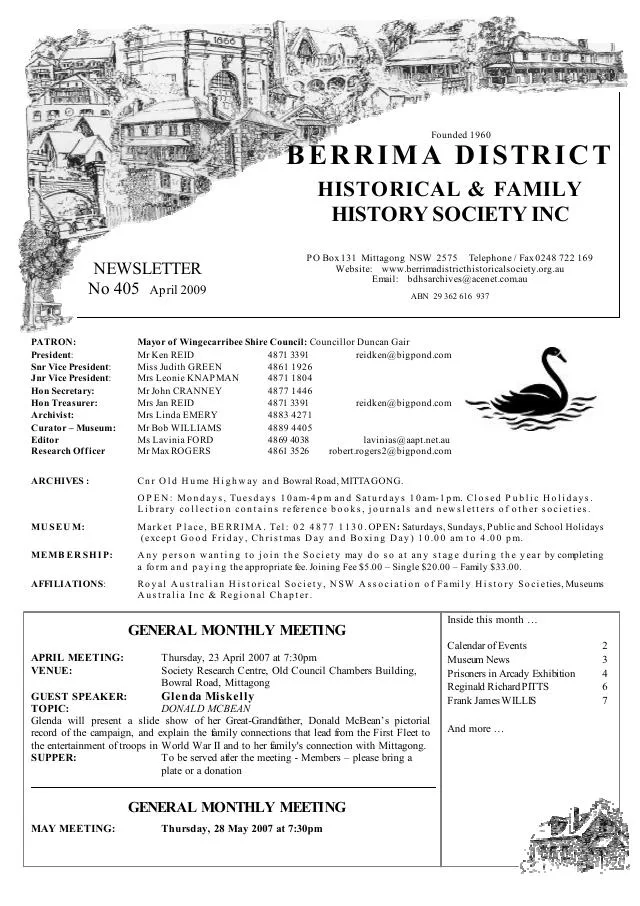
April 2009
- The issue profiles Mittagong-born Reginald Richard Pitts and reproduces Red Cross Wounded and Missing Bureau statements and his mother’s search for information (pp.6-7).
Books in our Library
These catalogue titles mention Mittagong. Check the linked catalogue and ask the Society about access.
- 150 Years. Mittagong Railway Station (NSW) Monday 6th March, 2017. (2017) - catalogue p. 1
- 25th Anniversary Mittagong Branch: The Church of Jesus Christ of Laatter-day Saints. 1982-2007. (2007) - catalogue p. 2
- A Chapter in the History of Mittagong: The Bush Fire of 1939. - catalogue p. 3
- A Hermitage in the South - A History of Marist Brothers Mittagong 1906 - 2006 (2006) - catalogue p. 3
- A History of Rowe's Hill Cemetery and the original Rowe's Cottage, Lower Mittagong - catalogue p. 4
Find Society publications mentioning Mittagong. The list is from October 2026; contact the Society about current availability.
Further research
There is more to discover about Mittagong in the Society’s archives and in other collections. A catalogue entry may lead to material that has not been digitised or needs to be consulted in person.
- Ask the Society’s research centre about local files, photographs and records.
- State Library of NSW collections - search photographs, maps, manuscripts and local publications.
- NSW Historical Land Records Viewer - search historical land records, plans and parish maps by place or parcel.
Sources already connected with this place include:
- Heritage NSW: Mittagong Railway Station and yard group
- Wingecarribee Heritage Study 1991
- Wingecarribee Public Library Archives Collection
- Transport NSW: railway chronology, p.11
The Society can undertake professional research at $40 per hour. Contact the research centre to discuss your question and request a quote.