Discover High Range
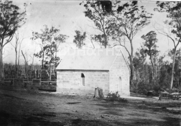
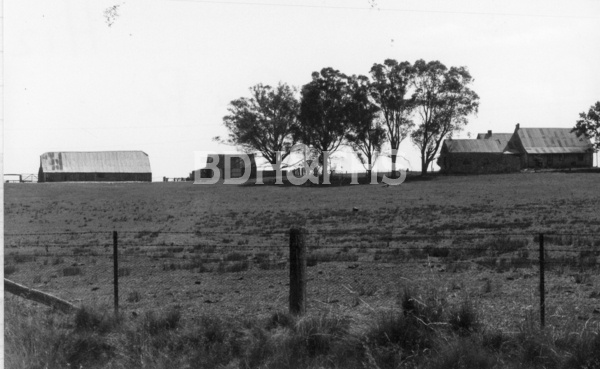
A rural community on Wombeyan Caves Road, connected with Joadja and the small sandstone church of St Thomas.
Explore nearby and connected places: Joadja · Mandemar · Mittagong · Berrima
High Range through time
A rural district and its families
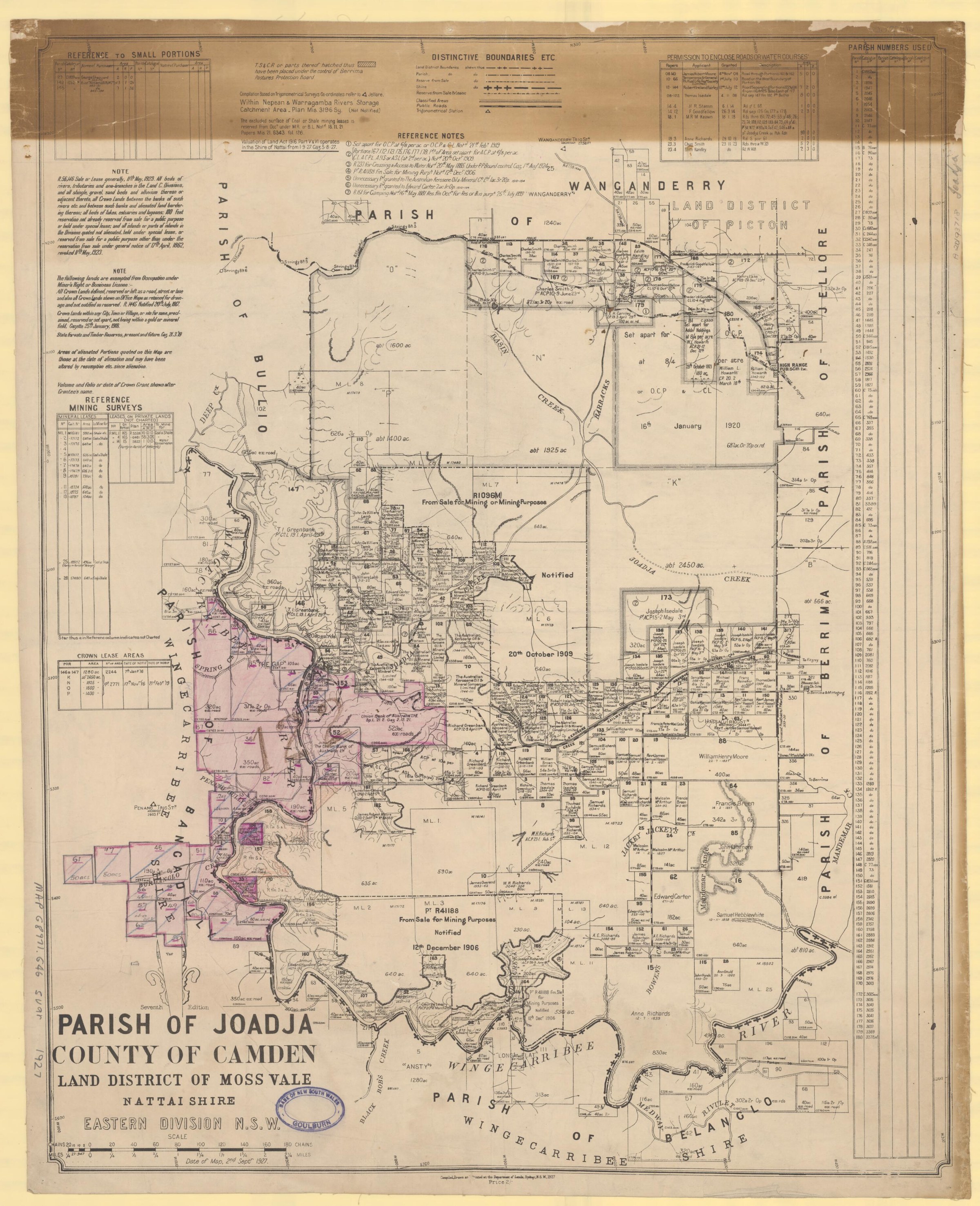
High Range also sat on routes between the Joadja valley, Mittagong and the country towards Wombeyan Caves. The National Parks historical account notes that the Joadja Ridge Trail gave settlers access to services at High Range and Wangenderry. Church registers, cemetery records and land records can help connect that landscape to individual families.[11]
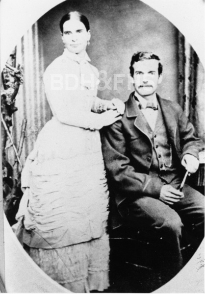
The Mudford family provides a lead into the lives of High Range residents. The Society’s Rowes Hill cemetery compilation transcribes a 1910 Robertson Advocate obituary for Eliza Mudford, widow of William, which says she had lived in the district for more than 50 years and names children in several places. It also cites an 1889 Bowral Free Press notice for William. Newspaper notices are useful starting points, but family relationships and dates should be checked against certificates and other records.[13]
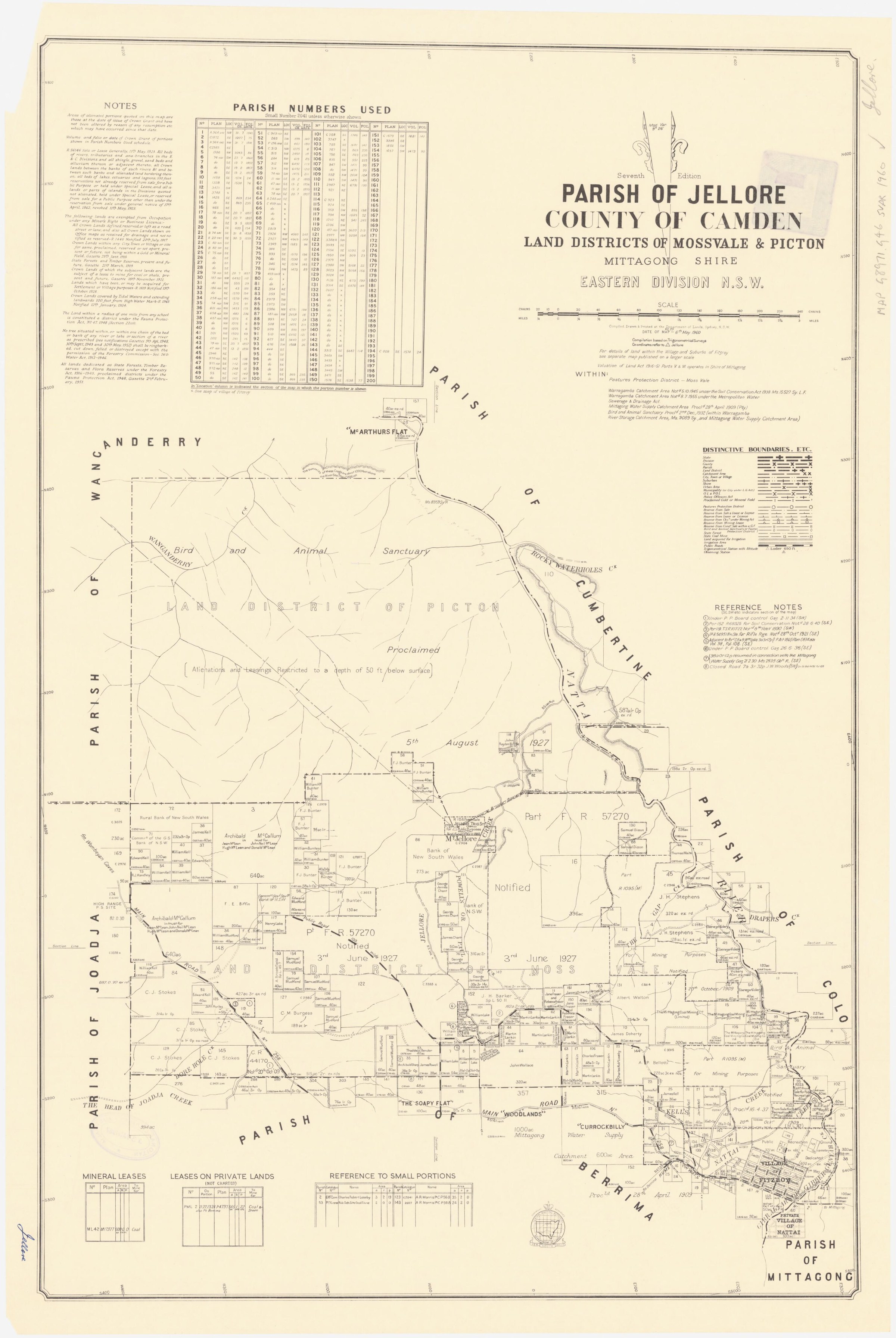
High Range also had a government school. The NSW education history records a provisional school from September 1870 and several later periods of provisional or half-time teaching, with breaks between some periods. The half-time arrangements linked it at different times with schools recorded as Mangellore and Jellore. The last recorded provisional period ended in April 1933; the dates do not imply continuous operation.[14]
St Thomas and community life
St Thomas’ Anglican Church is a lasting focus of High Range’s nineteenth-century community. Built in 1891 on land donated by Edward Kell, it served families from High Range and Joadja Creek. Council’s heritage survey records the first service on 5 April 1891 and the consecration of the church and burial ground on 12 May 1893.[9][10]
A contemporary report in the Scrutineer, reproduced in the Society’s December 2016 newsletter, describes the 1893 consecration of St Thomas’ by the Primate. It says the church had opened nearly two years earlier and that the Berrima incumbent, the Reverend G. Shepherd, conducted services there every other Sunday. This newspaper account complements the heritage survey’s dates.[15]
Rosalind Badgery managed Wanganderry, a property between Mount Burragorang and High Range, for decades after the Second World War. The Society’s 2013 profile describes her work with sheep and cattle and preserves a family-history lead for the district.[12]
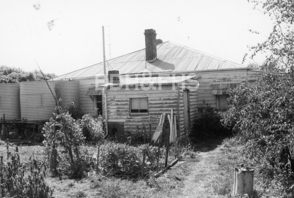
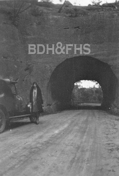
Browse local photographs linked to High Range
Explore the Society’s photographs for sale
Browse maps and plans linked to High Range
Newsletter Mentions
Stories about High Range in the Society’s newsletters.
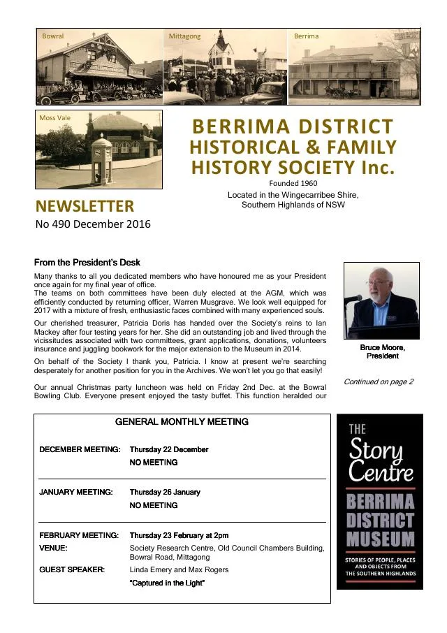
December 2016
- Newspaper extracts cover Robertson cheese-making and the 1893 consecration of St Thomas’ Church at High Range (p.7).
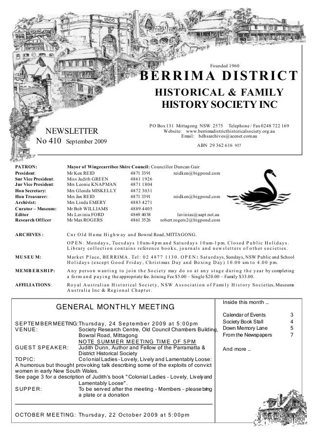
September 2009
- The Society displays photographs relating to Wombeyan Caves Road and High Range (p.4).
Further research
There is more to discover about High Range in the Society’s archives and in other collections. A catalogue entry may lead to material that has not been digitised or needs to be consulted in person.
- Ask the Society’s research centre about local files, photographs and records.
- State Library of NSW collections - search photographs, maps, manuscripts and local publications.
- NSW Historical Land Records Viewer - search historical land records, plans and parish maps by place or parcel.
Sources already connected with this place include:
- Wingecarribee Heritage Survey 2009: High Range
- National Parks: Joadja transport and settlement connections, p.8
- NSW Department of Education historical school records: High Range
The Society can undertake professional research at $40 per hour. Contact the research centre to discuss your question and request a quote.