Discover Berrima
A courthouse, gaol and old inns stand around the streets of Berrima, a town planned beside the Wingecarribee River for travellers on the Great South Road.
The 2021 Census counted 255 people in the ABS urban locality of Berrima.[42]

Explore nearby and connected places: Bong Bong · Moss Vale · Mittagong
Berrima through time
A new town on the Great South Road
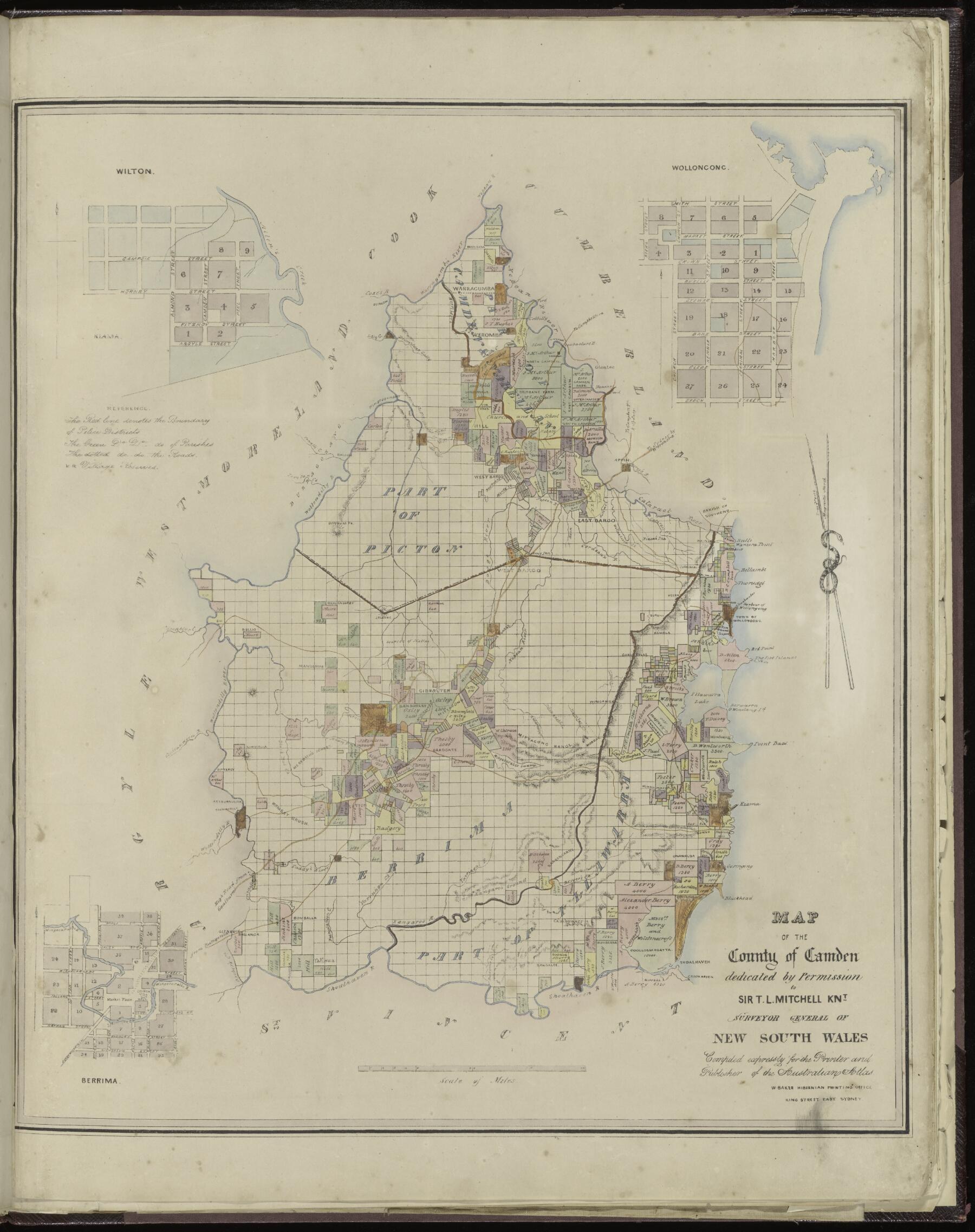
Berrima followed the earlier settlement at Bong Bong. In 1829 Surveyor-General Thomas Mitchell selected a site beside the Wingecarribee while planning a new road from Sydney. In 1830 he instructed Robert Hoddle to lay out a town around a market place and the river; the plan was approved in 1831, the first lots were sold in 1833 and mail-coach traffic was drawn through the new settlement. Berrima was intended as the commercial and administrative centre of the County of Camden.[12][16]
That plan remains unusually visible. Berrima is recognised as the district’s second settlement and the last largely intact Georgian-period town on mainland Australia. Berrima House dates from 1835, while the courthouse, gaol, churches, inns and Market Place still give the nineteenth-century plan a remarkable physical presence.[13][14]
The road depended on a river crossing. David Lennox’s dressed-stone bridge opened in 1836, but floods swept away its upper section in 1857; a temporary timber replacement was itself lost in another flood in 1860. A timber truss bridge followed downstream; dressed sandstone blocks in the commemorative park are associated with the earlier bridge.[30]
An 1841 plan catches the road’s early land speculation: it shows 28 numbered portions at Little Forest, a locality sketch and the road towards Sydney. The sheet records an intended offering along the newly formed Great South Road, even though its auctioneer and sale-date fields were left blank.[41]
Land was still being laid out beyond the old town later in the century. A State Library catalogue records an 1890 plan of Berrima suburban and country portions, bounded in part by Nathan Street and the Great Southern Road.[25]
Justice, inns and a colonial village
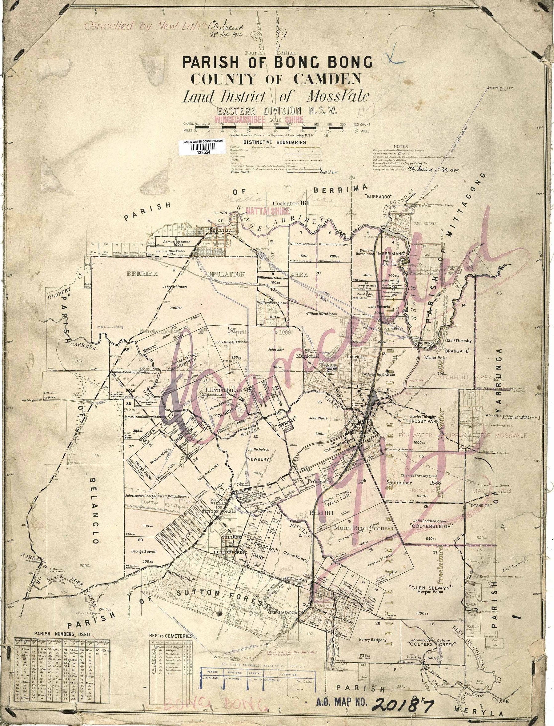
Berrima’s courthouse opened in 1838 after a difficult building process. Designed under Colonial Architect Mortimer Lewis, it served the courts and later community purposes; the gaol, built in the 1830s, also passed through changing roles. Together they made Berrima a centre of colonial justice as well as a distinctive stone-built town.[20][23]
George Paton helped bring the courthouse to completion as contractor and later superintendent. His initials survive on the building’s eastern side, linking Berrima’s troubled construction to the Sydney tradesman who later built the Hero of Waterloo hotel.[31]
James and Mary Harper were among the early innkeepers. Their Surveyor General Inn and the family’s Harper’s Mansion became familiar parts of the young town; published accounts differ over whether the house dates from 1834 or the late 1830s, but both place it firmly within Berrima’s first decades.[21][22]
Michael and Jane Doyle opened the Royal Mail Coach Hotel in 1839, later known as the White Horse Inn. It welcomed coaching travellers, became a private residence and regained the White Horse name in the 1970s. Nearby, Berrima District Council held its first meeting in the courthouse in September 1843; its plans for roads and services were limited by revenue, and the council ended in 1858.[24][27]
Faith added another layer to the town. On the former stockade site south of the river, a hut donated by Charles Throsby became a chapel where Bishop John Bede Polding celebrated Mass in 1840, with a second hut used as a school. A church designed through Polding’s connection with Augustus Pugin was built in sandstone by William Munro, opened as St Scholastica in 1851 and was renamed St Francis Xavier in 1891.[33]
Internment on the river
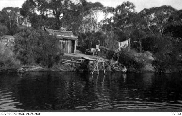
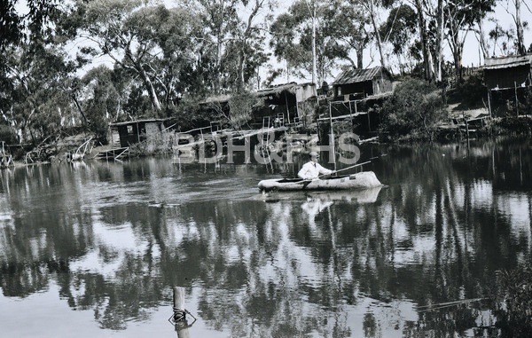
During the First World War, the former gaol became an internment camp for more than 300 German mariners between 1915 and 1919. They were separated from their families and ordinary lives, confined at night and allowed only limited movement by day, yet made gardens, huts and small boats along the Wingecarribee River.[17][18]
The courthouse became part of the camp too. Its courtroom served as a reading room and place for church services, other rooms held lessons and club activities, and a small group of internees lived in rear rooms. Edmond Samuels, an officer of the guard, recorded roll calls, daytime parole and riverbank life in his diary, offering one contemporary view of the camp.[26][28]
The camp’s history now survives in photographs, diaries, theatrical images, family memories and objects. A zither given by internee Karl Pfingst to local musician Evelyn Welch carries one personal connection beyond the camp; the museum’s Stortebeker canoe, found after flooding in 1978 and displayed from 1980, preserves another river story.[32][36][39]
Roadside trade, gardens and later Berrima
The old road adapted to motor traffic. Fred Simons opened the Star Service Station as a roadside kiosk in the 1920s, with hand-operated petrol pumps and refreshments. By 1940 he had built a general store and service station between the post office and Surveyor General Inn, adding a new road-age chapter to the village economy.[38]
The Crowe family’s Berrima Bridge Nurseries shaped gardens across the Highlands from 1943. Claude and Isobel Crowe supplied plants and advice from Jellore Street; hand propagation and a river-fed irrigation system supported later expansion across the river, and their son Noel took the work on to Robertson. Accounts differ on whether the business closed in 2000 or 2003, but its plans and garden designs survive as part of the district’s landscape history.[34][36]
A sandstone marker on Berrima’s northern approach simply reads ‘A Man Killed Here 1837’. Its story has never been securely established, but the stone itself became a local cause: Deborah Winchcombe drew attention to its weathering in 1961, Claude Lee recut the lettering and road widening moved it in 1963.[29]
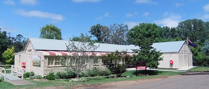
Steam and collecting brought Berrima’s past into public view. The 2010 Megaethon 150 road run recalled an early steam-powered Sydney-Goulburn journey and a 1911 Fowler traction engine used for the re-enactment, not the original early Sydney-Goulburn vehicle. The Society museum at 1a Market Place opened to visitors on 4 December 1976; its fiftieth-anniversary exhibition in 2026 makes the museum itself part of the town’s later history.[15][37]
Berrima’s records continue beyond its buildings. The Kevin Herring Collection, received by the Society in 2012, gathers papers on land acquisitions and the people involved, adding another layer to the story of a town that has long been read through roads, river crossings, homes and the traces its residents left behind. Contact the archives to confirm the collection’s present scope and access.[35]
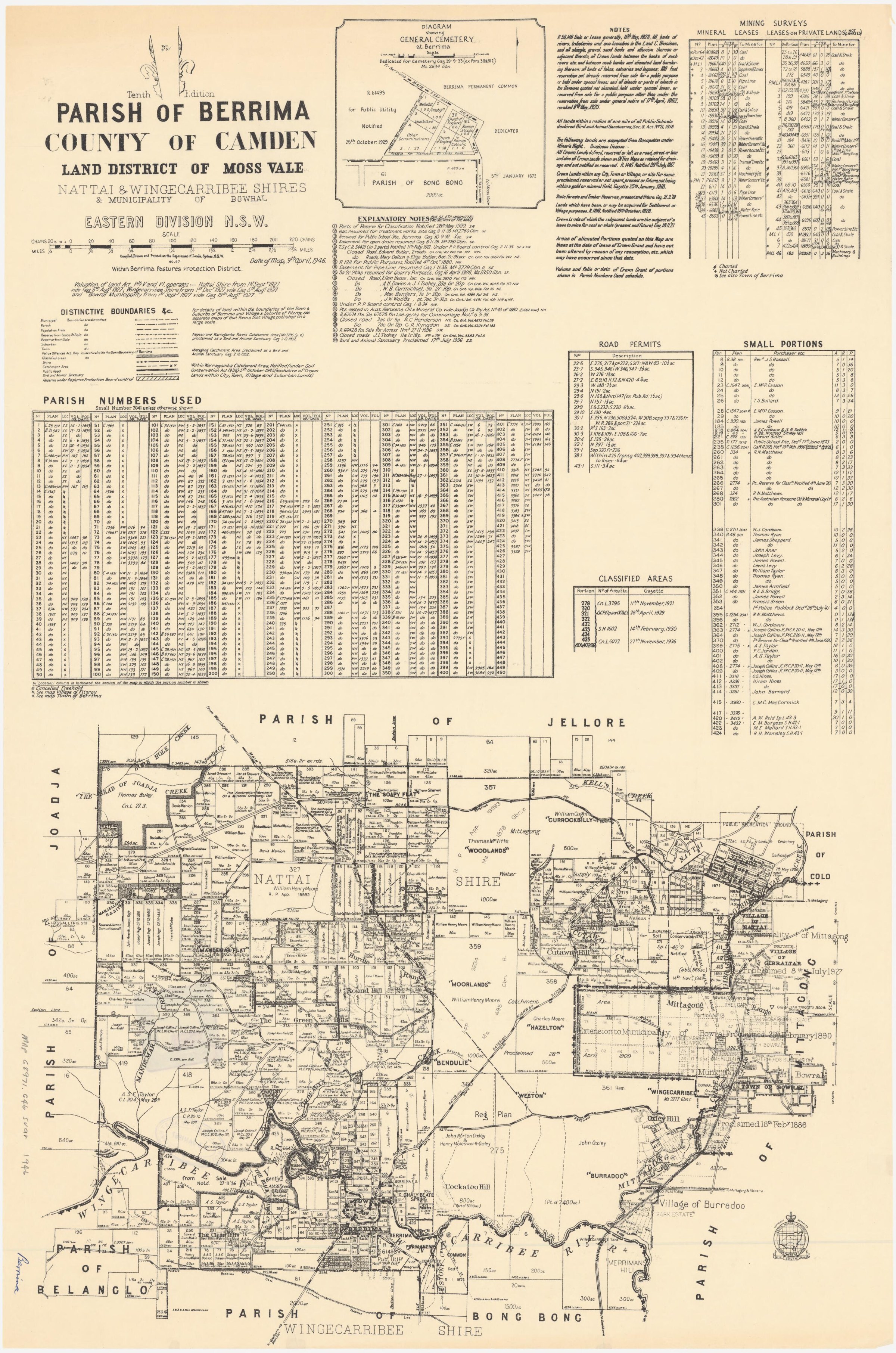
Browse local photographs linked to Berrima
Explore the Society’s photographs for sale
Read the landscape
1841
View the original plan at the National Library through the source link.
Little Forest: 28 portions on the Great South Road
The 1841 plan shows 28 numbered portions at Little Forest on the newly formed Great South Road near Berrima, with a small locality sketch. The spaces for the auctioneer and sale date are blank on this copy; the plan alone does not establish that the sale occurred or that the land lies within today’s village boundary.
Related places: Berrima
J. Brown, surveyor; R. Clint, lithographer; National Library of Australia, MAP F 448.
The National Library labels this item In Copyright and permits online use for research or study; contact the library about other uses.
1890
Catalogue reference · display image to be added after reuse checks.
Plan shewing 6 suburban portions nos 65 to 70, Town of Berrima and 8 country portions nos 72 to 78 and 272
Berrima subdivision plan dated 14 May 1890 in the State Library's Camden County subdivision-plan list. A display file is pending a direct catalogue/item download check.
Related places: Berrima
State Library of New South Wales, Z/CP/C1/173.
Reuse status must be checked against the State Library item record before a display copy is made.
Browse maps and plans linked to Berrima
Newsletter Mentions
Stories about Berrima in the Society’s newsletters.
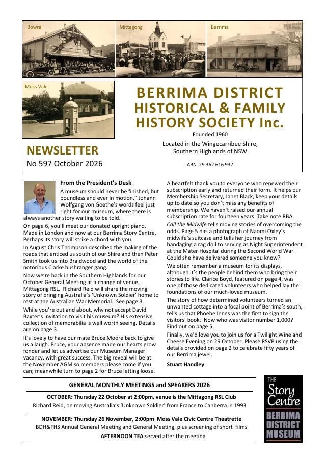
October 2026
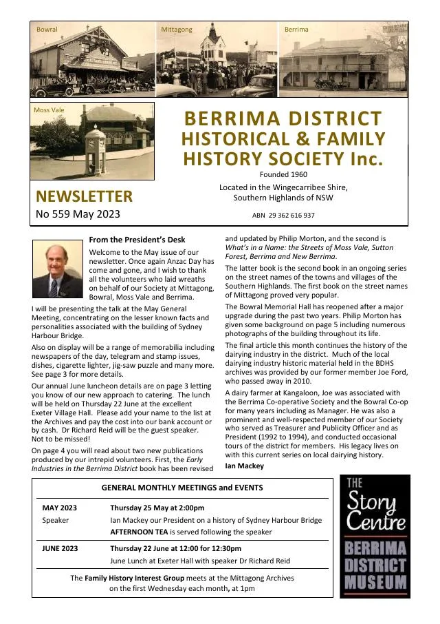
- Newspaper extracts and collection objects illuminate the early Berrima museum, including a midwife’s suitcase and a long-displayed piano (pp.4-6).
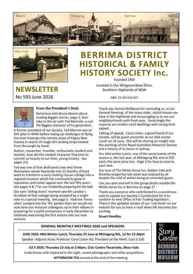
June 2026
- The history of the Society’s museum follows the Lansley cottage from Moss Vale to Berrima and its 1976 opening (pp.3-4, 7).
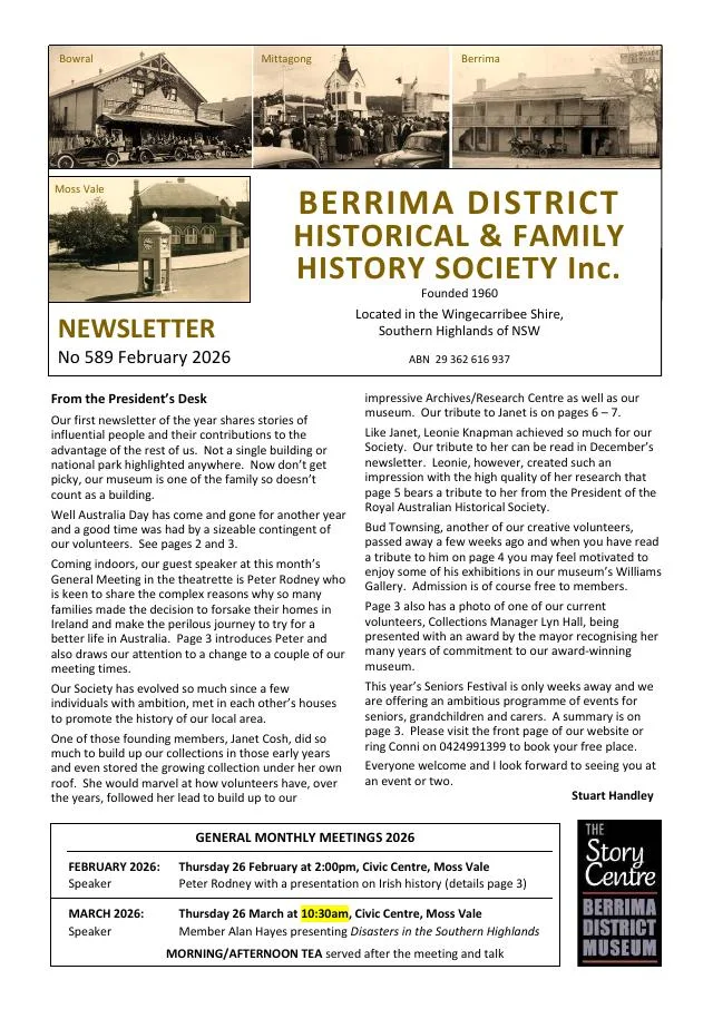
February 2026
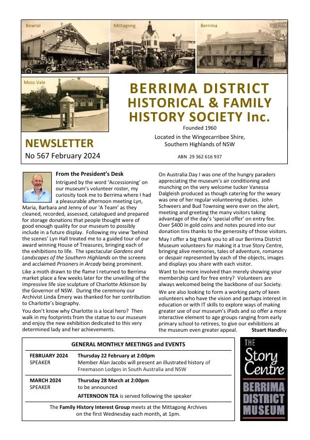
- Peter Rodney introduces a talk on Irish migration and the issue reports Berrima Australia Day activities (p.3).
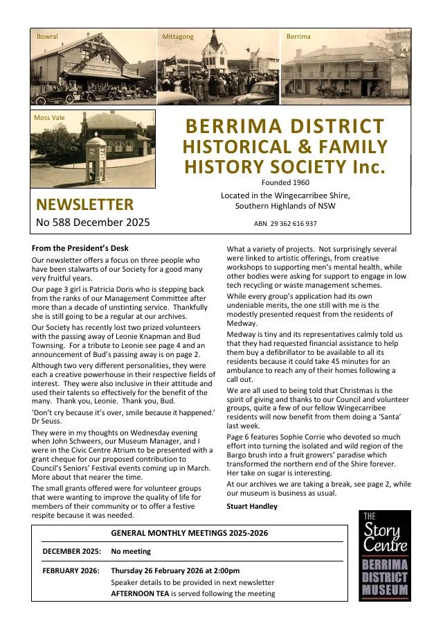
December 2025
- An invitation to the 2026 Berrima Australia Day parade accompanies thanks to Patricia Doris and an introduction to a book on surveyor James Meehan (p.3).
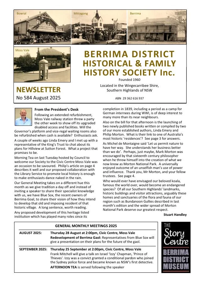
August 2025
- A proposed Berrima Gaol adaptive-reuse presentation and two books about the gaol and internment are introduced (p.3).
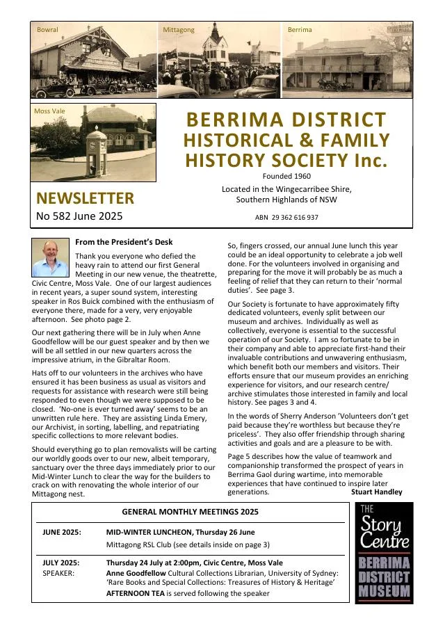
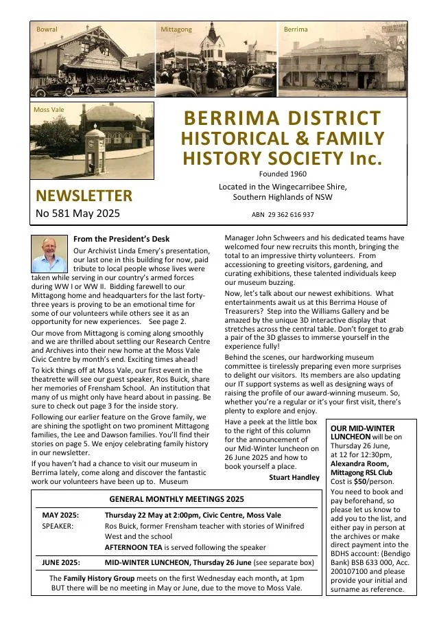
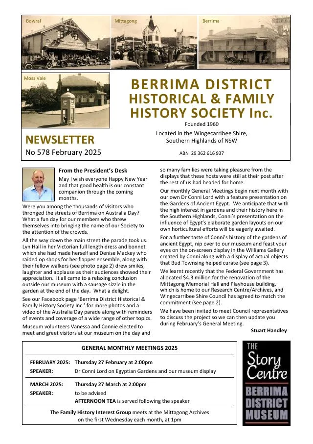
February 2025
- A new Berrima Museum display explores ancient Egyptian garden layouts, plants and gardeners (p.3).
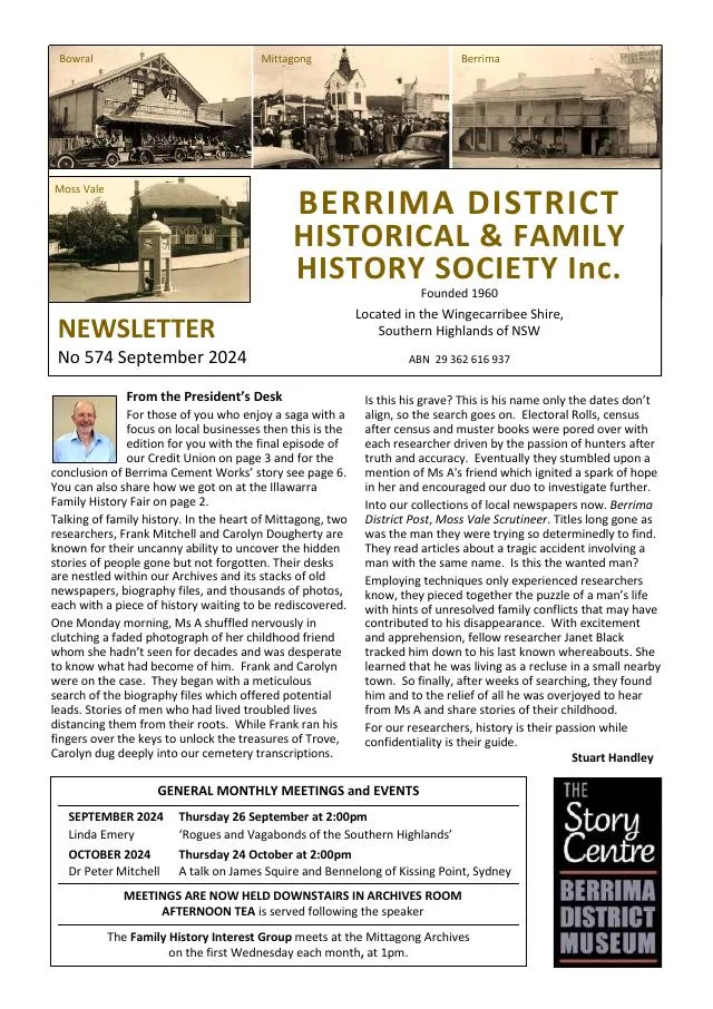
September 2024
- The continuing history follows changes in the local credit union and the expansion and ownership of the Berrima cement works (pp.5-7).
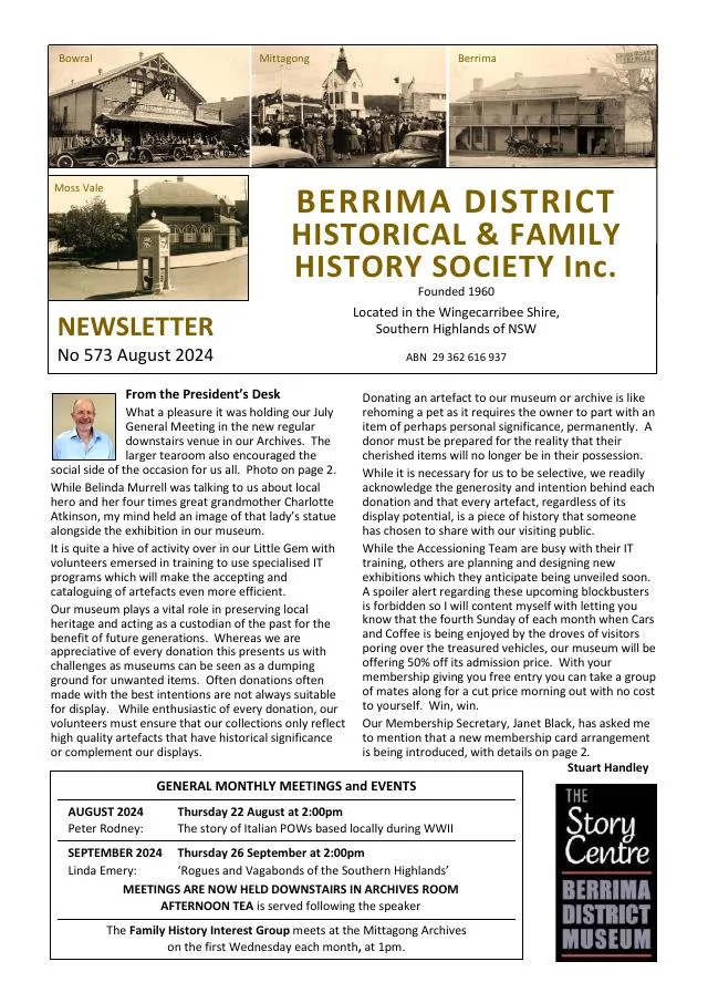
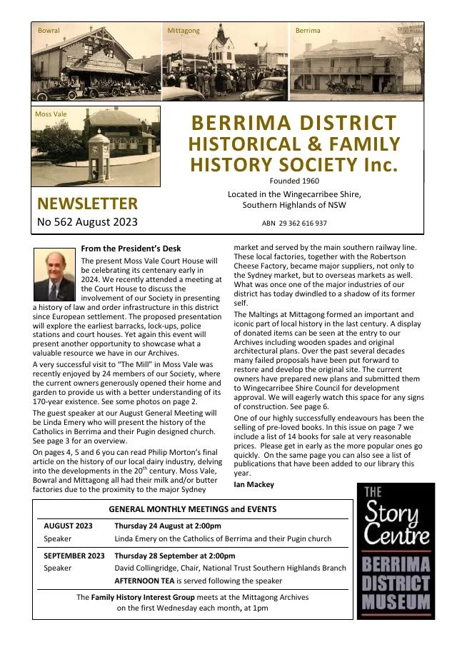
August 2024
- Philip Morton follows Medway coal mining, the railway, construction of the New Berrima cement works and development of the township (pp.6-7).
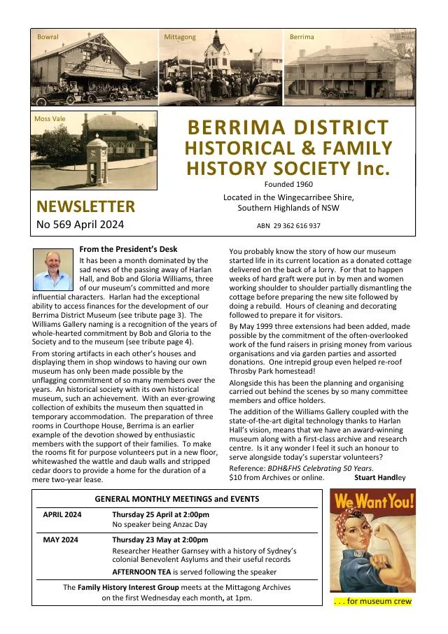
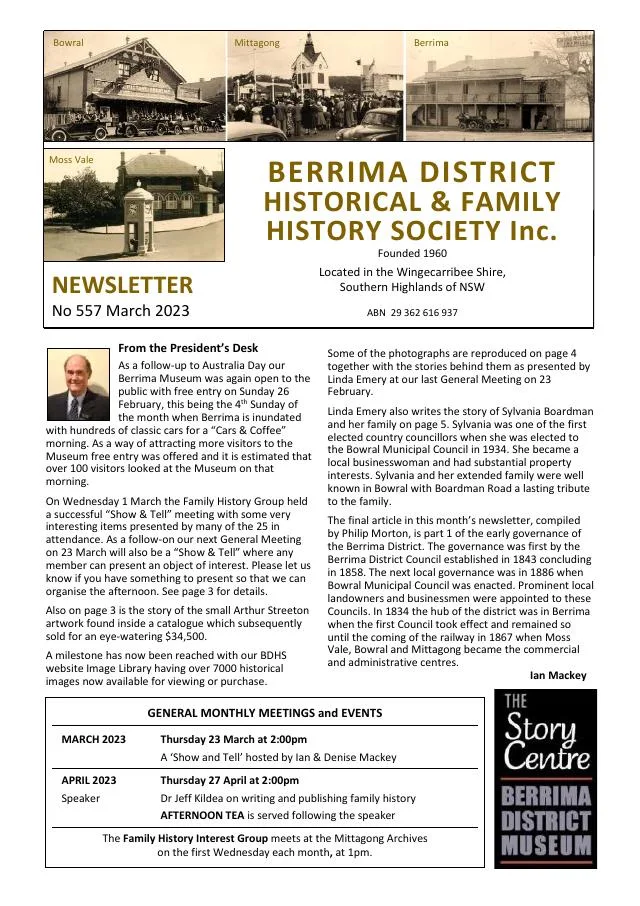
March 2023
- Philip Morton examines the Berrima District Council, proclaimed in 1843, and early local roads and government (pp.6-7).
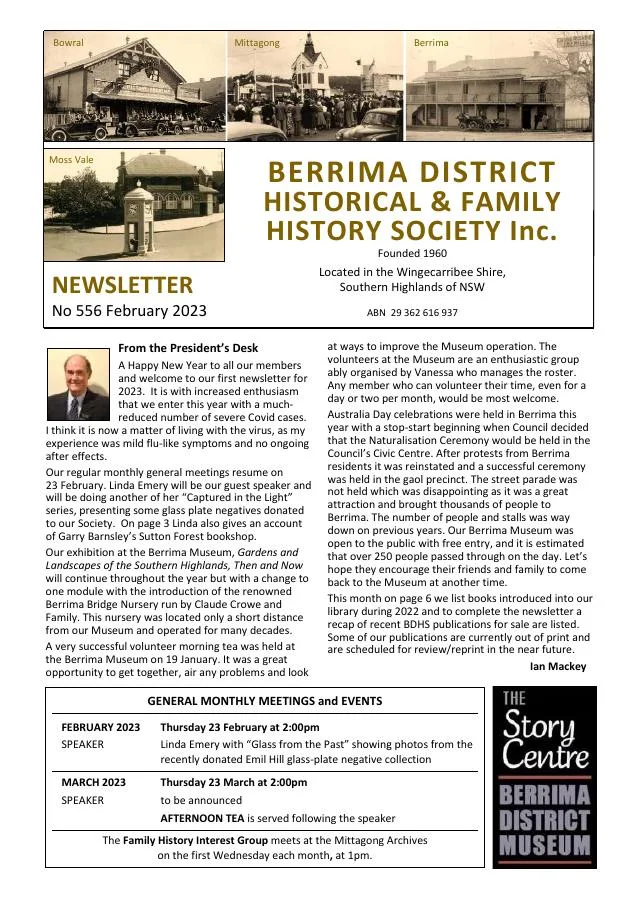
February 2023
- A Berrima Bridge Nursery account follows Claude and Isobel Crowe from their 1943 nursery to irrigation, garden designs and expansion to Robertson (pp.4-5).
- Recent Society publications cover Exeter, Mittagong street names, early Berrima, Aboriginal history and the First World War internment camp (p.7).
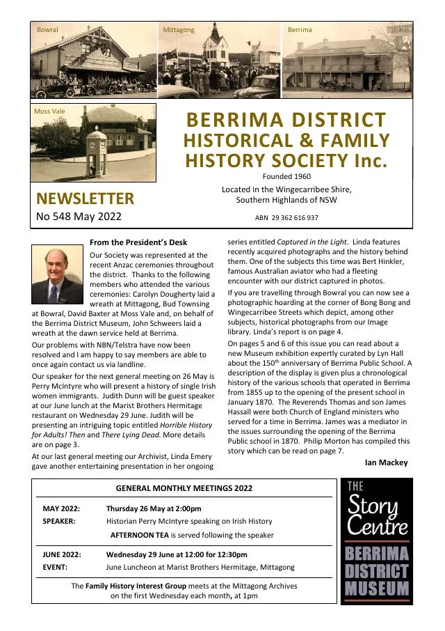
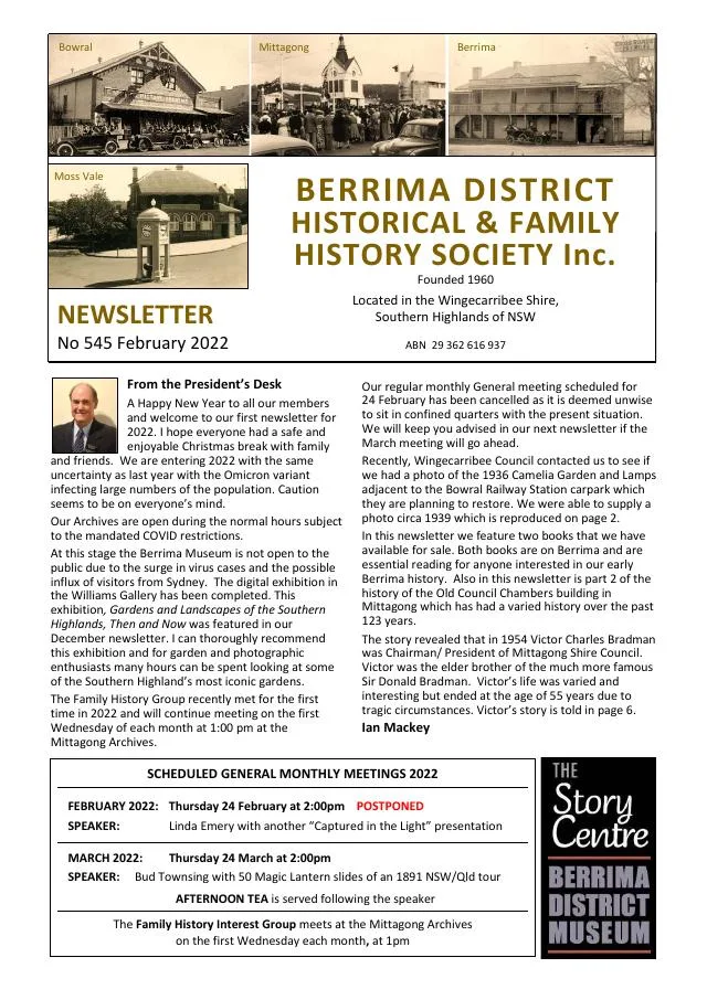
February 2022
- Chris Thompson’s Mitchell’s County Town covers Berrima’s first decade (p.3).
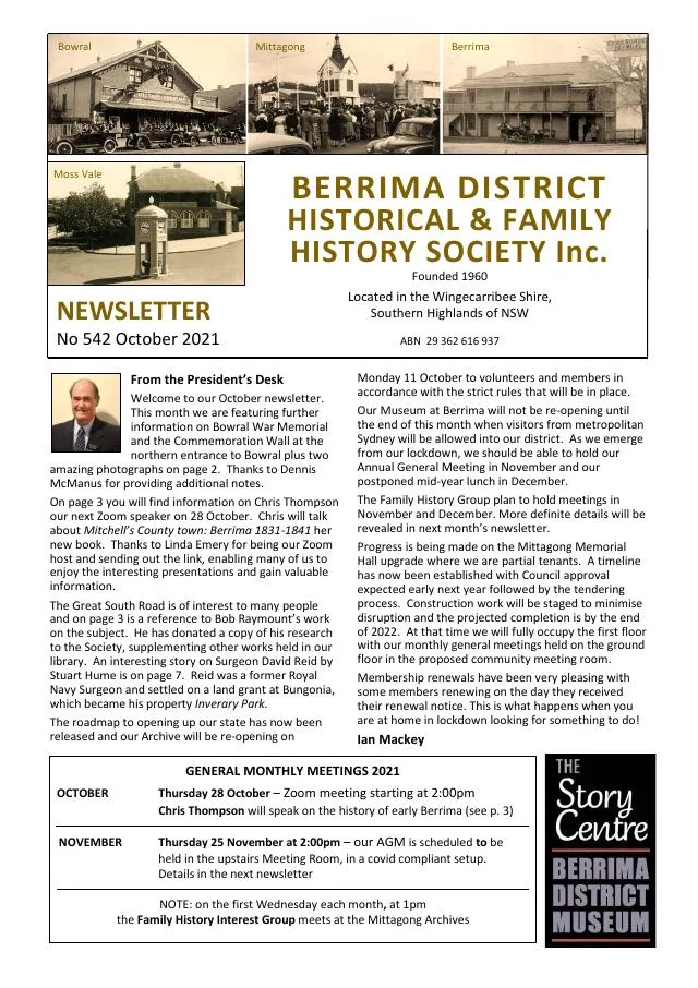
October 2021
- Chris Thompson introduces her history of Berrima’s first decade and research into the Great South Road (p.3).
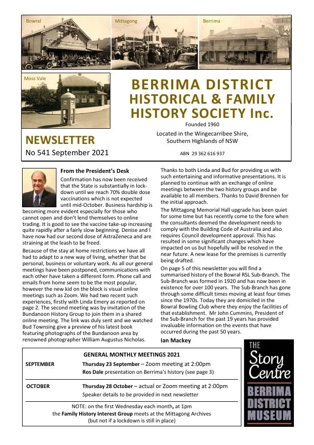
September 2021
- Ros Dale discusses Berrima and changes to the penal system (p.3).
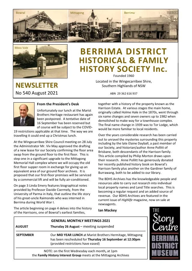
August 2021
- A family enquiry sheds light on First World War Berrima internee Raimondo (p.3).
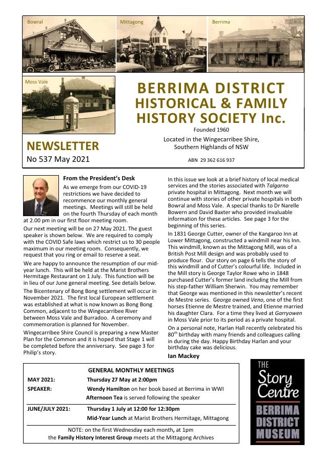
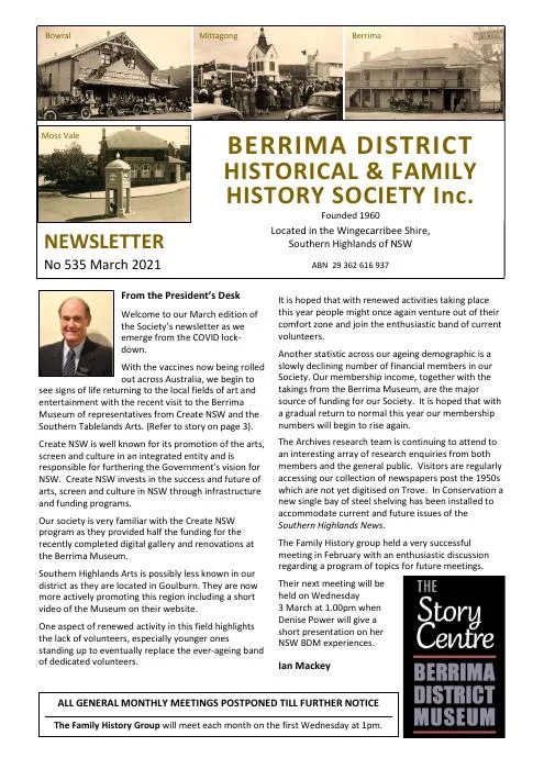
March 2021
- The Society reports on Berrima museum renovations and a regional arts visit (p.3).
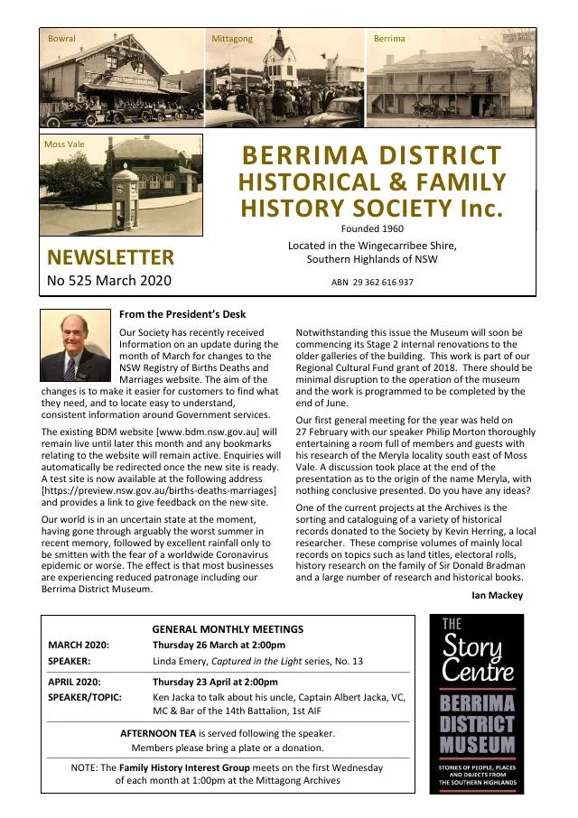
March 2020
- A family recollection of Berrima’s so-called cat burglar precedes a history of the East Kangaloon sawmill and Thomas Seery of Avoca (pp.5-7).
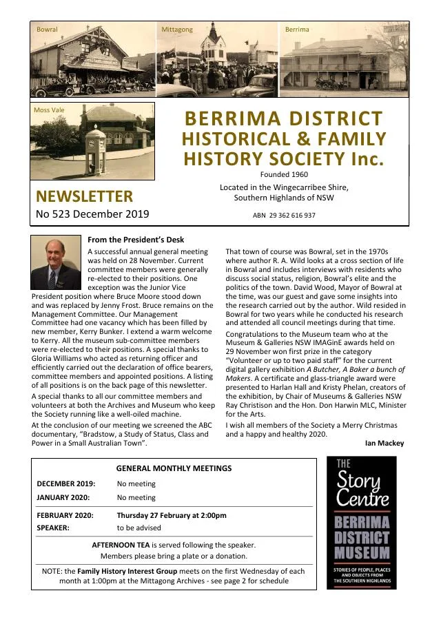
December 2019
- Frank Mitchell and Ros Dale research brothers Israel and Noel Chapman, including Noel’s Berrima service (p.4).
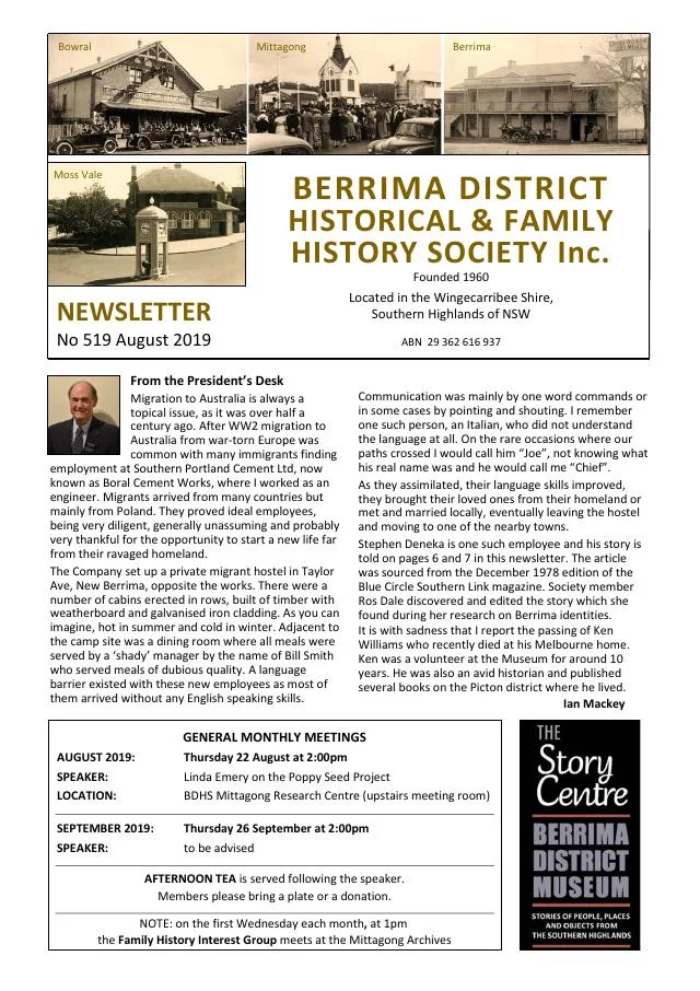
August 2019
- The Bowral children’s library history continues, followed by Stephen and Eugenia Deneka’s wartime separation and later reunion in Berrima (pp.5-7).
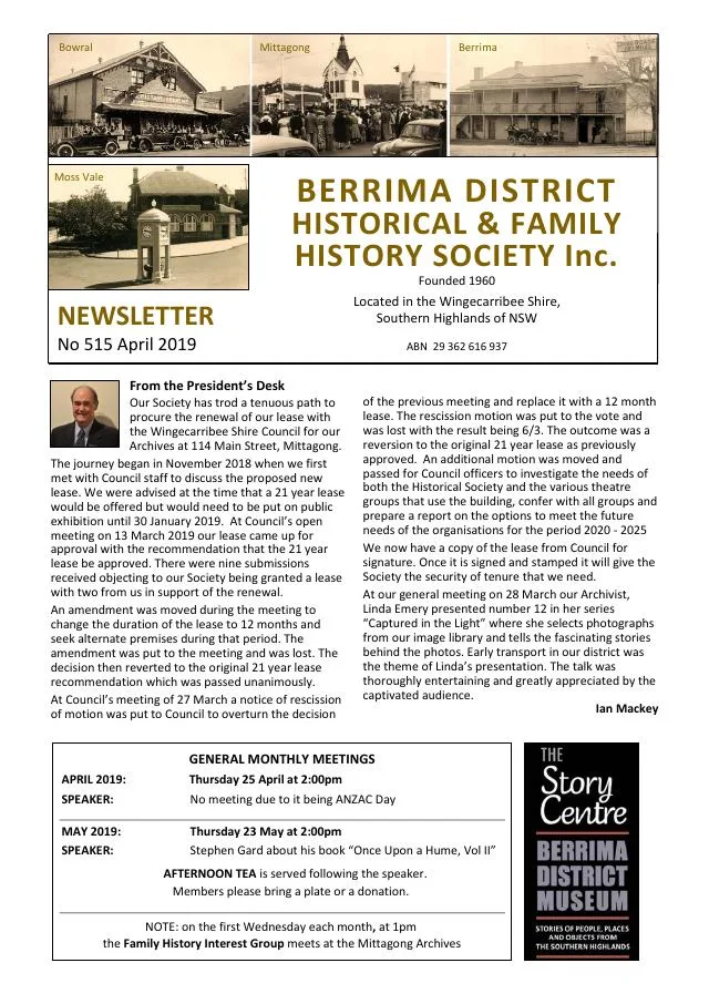
April 2019
- Linda Emery examines the stories behind the Berrima stone marked A Man Killed Here (p.3).
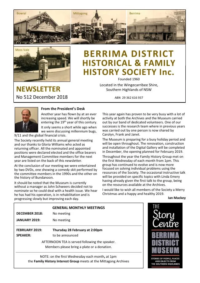
December 2018
- Berrima Public School marks the centenary of the First World War armistice at the museum (p.3).
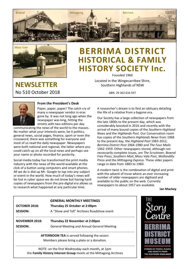
October 2018
- The Carrington Falls reserve and its local trustees are followed by two contrasting 1853 newspaper accounts of life in Berrima (pp.5-7).
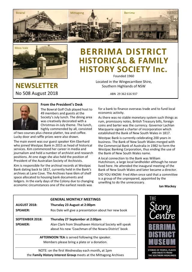
August 2018
- Ros Dale introduces a children’s story set in Berrima (p.3).
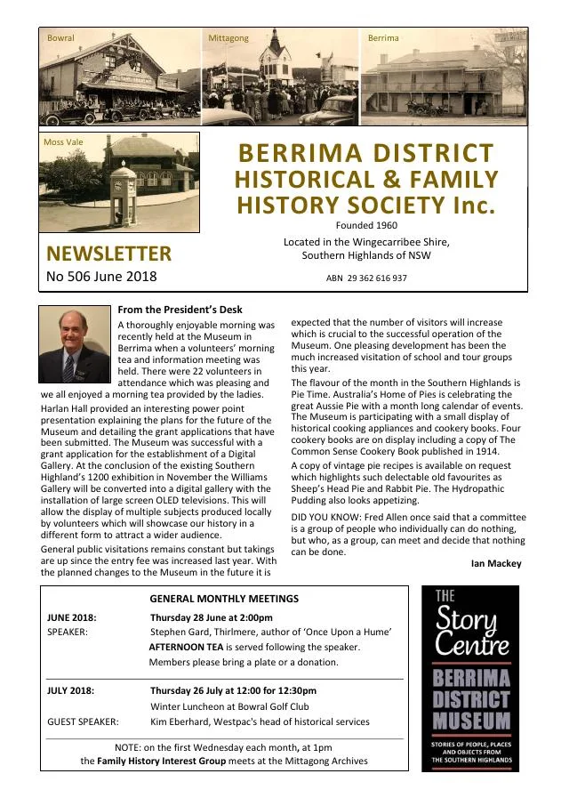
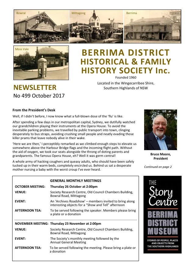
October 2017
- Linda Emery links Berrima Court House and Sydney’s Hero of Waterloo Hotel through stonemason George Paton (p.5).
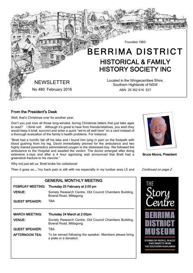
February 2016
- A donated motoring coat recalls the Henry family at the Avon Dam construction settlement, alongside photographs of Berrima’s 2016 Australia Day parade (p.3).
- Edited extracts of Bob Caldwell-Wearne’s research follow transported convict James Powell through family life, Berrima businesses, property and community affairs (pp.4-5).
- Historic newspaper extracts include an 1836 Berrima brewery advertisement and reports on The Mill convalescent home at Moss Vale in 1916-17 (pp.6-7).
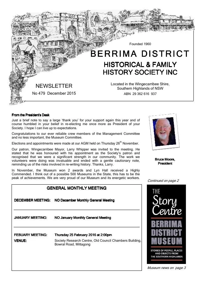
December 2015
- Berrima District Museum reports awards for its Williams Gallery extension and Cloud Stories, with a commendation for Lyn Hall (pp.3-4).
- The second part of a history of Berrima’s Pugin-designed Catholic church covers its early mission, construction, architectural features and later restoration (pp.5-6).
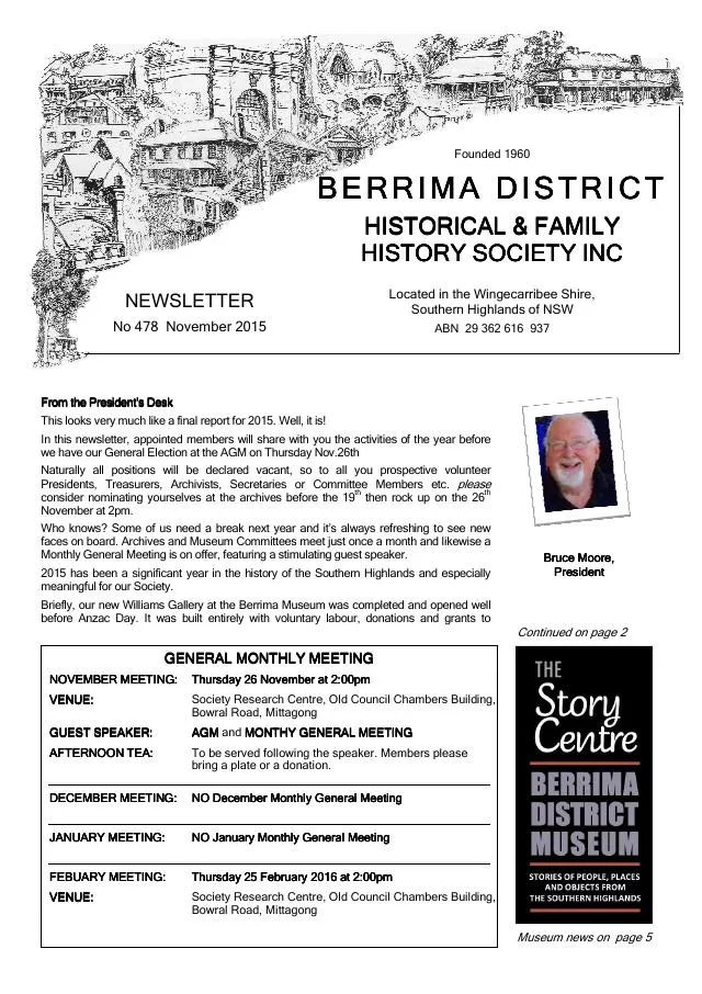
November 2015
- Philip Morton introduces the history and rediscovery of Berrima’s Pugin-designed Catholic church (p.4).
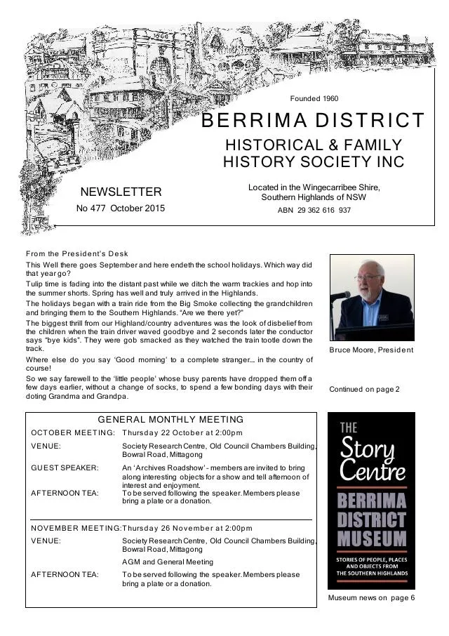
October 2015
- Philip Morton uses contemporary newspapers to trace early Berrima Gaol incidents, rebuilding and an 1863 prisoner mutiny (pp.4-5).
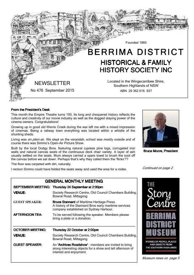
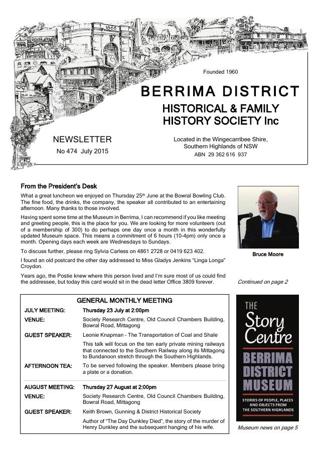
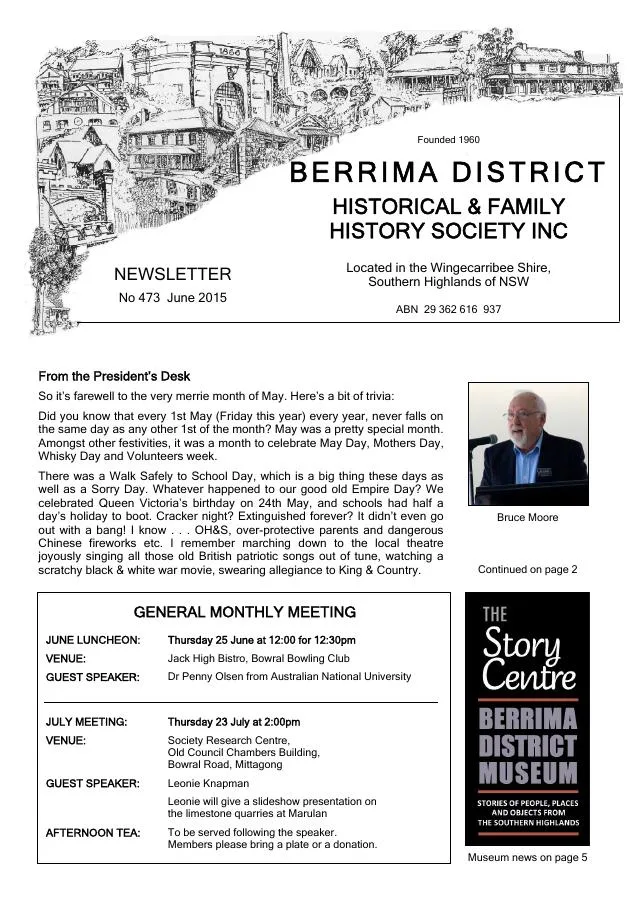
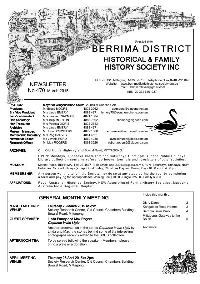
March 2015
- Philip Morton describes the Berrima river walk, wartime internment and the later research and interpretation of the site (pp.4-5).
February 2015
- The issue profiles Citizen of the Year Harlan Hall and reports the Berrima Gaol open weekend and Australia Day parade (pp.4-5).
September 2014
- A conservation plan records Claude and Isobel Crowe’s Berrima Bridge Nurseries and its influence on Highlands gardens (p.5).
October 2013
- Ros Dale introduces her Berrima history and a walk around First World War internment sites (p.3).
September 2013
- The issue introduces Early Industries in the Berrima District and its companion museum exhibition (p.5).
October 2012
- The issue reproduces 1950 and 1951 Berrima Public School class photographs and lists local-history books acquired by the library (pp.3, 7).
September 2012
- The issue describes the Society’s first online image library and its Berrima internment-camp photographic collection (p.4).
October 2011
- The issue reviews Berrima Gaol’s history and the 2011 discussion of its future (pp.5-6).
August 2011
- The issue introduces Bundanoon oral histories and reports an exhibition of Berrima internment material at the Museum of Sydney (pp.3-4).
April 2011
- An illustrated account of the Berrima internment camp draws on John Simons’s research and the museum collection (pp.3-5).
February 2011
- The issue reports the state heritage listing of Berrima’s internment group and museum collection (p.3).
January 2011
- A Berrima plaque ceremony and recognition of museum volunteers feature on page 7.
October 2010
- Museum objects and the 2010 Megaethon road-run through Berrima are described (p.5).
September 2010
- The account describes the Berrima Co-operative Rural Society, its Bowral factory and acquisition of local milk processing, and the Dairy Farmers factory at Moss Vale (pp.5-6).
- A proposed Berrima car tour introduces Holy Trinity Church, Harper’s Mansion and the historic cottages The Gunyah and Greenwood (p.7).
April 2010
- Jim Galloway introduces his recollections of Medway, and a reprinted article traces the coal mines and transport to New Berrima (pp.2, 7).
March 2010
- The issue reviews John Simons’s history of Berrima’s First World War internment camp (p.7).
March 2009
- The issue records the official opening of the museum’s Prisoners in Arcady exhibition about the First World War internment camp at Berrima (pp.2-7).
Books in our Library
These catalogue titles mention Berrima. Check the linked catalogue and ask the Society about access.
- 'Tough but Fair: Some Practices of Imprisonment in New South Wales 1866-1914' with references to Berrima Gaol. Journal (1991) - catalogue p. 1
- "Surveyor General" Inn - Berrima 1835-1985. (copy only as three copies stolen) (1985) - catalogue p. 1
- A History of the Berrima District 1798 - 1961 (1962) - catalogue p. 4
- A History of the Berrima District 1798 - 1973 (1973) - catalogue p. 4
- A Light in the Window: Harper's Mansion - Berrima, the place and its people. (2013) - catalogue p. 5 Research into Harper’s Mansion, its owners James and Mary Harper, and the people associated with the Berrima house. Description source
Find Society publications mentioning Berrima. The list is from October 2026; contact the Society about current availability.
Further research
There is more to discover about Berrima in the Society’s archives and in other collections. A catalogue entry may lead to material that has not been digitised or needs to be consulted in person.
- Ask the Society’s research centre about local files, photographs and records.
- State Library of NSW collections - search photographs, maps, manuscripts and local publications.
- NSW Historical Land Records Viewer - search historical land records, plans and parish maps by place or parcel.
Sources already connected with this place include:
- Heritage NSW: Makin Cottage and the colonisation of Berrima
- Wingecarribee Shire Council: Heritage
- Heritage NSW: Berrima House
- Council history of Berrima’s town plan, p.88
The Society can undertake professional research at $40 per hour. Contact the research centre to discuss your question and request a quote.