Discover Joadja
A shale-oil industry created a town in the Joadja valley, leaving an exceptional industrial and community landscape.
The 2021 Census counted 139 people in Joadja.[20]
Explore nearby and connected places: High Range · Mandemar · Mittagong · Medway
Joadja through time
Shale mining and the settlement
Before the company town emerged, several parties were already working the shale. In 1874 Edward Carter, George Larkin, and John de Villiers Lamb with William Brown held separate mining interests in the valley. Historian Ian Jack describes bullock teams hauling shale across the valley floor and up a steep track to the plateau. Each party depended on access through land associated with the others: transport was a challenge well before the later railway incline.[15]
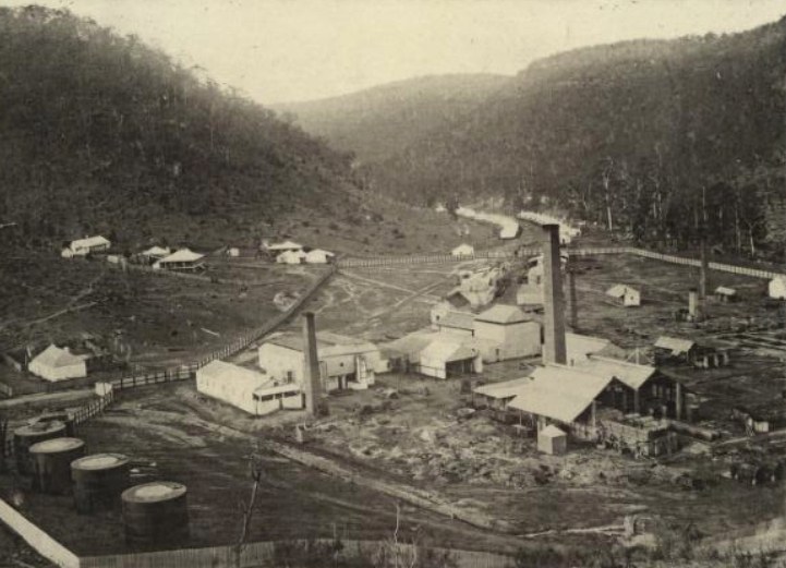
Joadja grew around the mining and processing of kerosene shale. The State Library’s Fell family papers identify engineer James Walter Fell as the planner of the shale-oil works in 1877, and record his continuing consultancy until 1881. Council’s heritage study describes a company settlement established in the late 1870s. Industry brought homes, a school and community institutions into a valley whose steep sides made transport an essential part of the enterprise.[8]
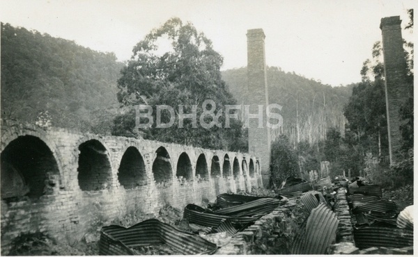
The Australian Kerosene Oil and Mineral Company developed mines, retorts and a refinery alongside the settlement. Council’s heritage study describes shale being brought from the valley sides to retorts, where crude oil was extracted before refining and packaging. The works also produced other materials, including waxes and candles. A contemporary account in New South Wales in 1881 reported about 50 men winning 350 tons of shale a week; that is a snapshot reported at the time, not a count of everyone who lived or worked at Joadja.[9][11]
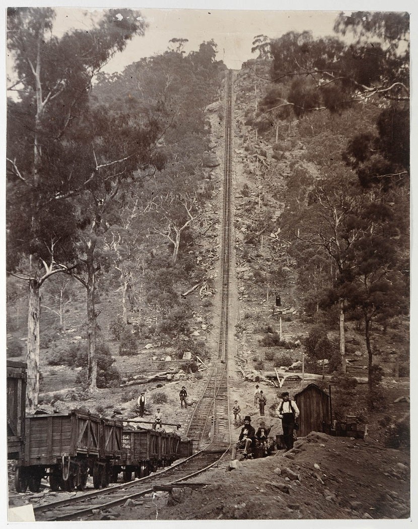
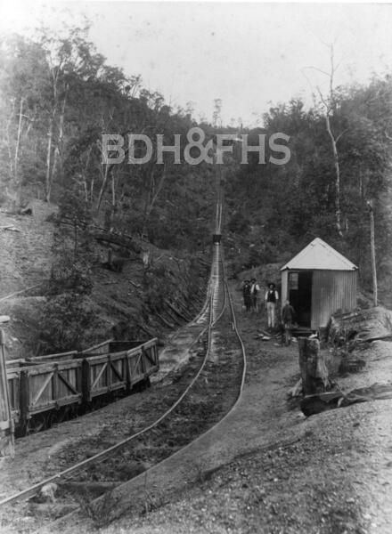
The steep railway incline was essential to moving shale out of the valley. The Powerhouse Museum describes trucks being hauled to the upper railway by a steam-powered winch, after which locomotives carried them toward Mittagong. Residents could also ride in the trucks at their own risk. In an account quoted by the museum, a former resident remembered carrying a seat and cushion for the journey; her recollection brings the practical challenges of village life into view.[14]
The route to Mittagong is part of that story. The National Parks plan records the Joadja Ridge Trail as an early route for transporting shale oil, connecting the valley with Wombeyan Caves Road. It also connected settlers with High Range and Wangenderry. The plan distinguishes that historical association from surviving physical evidence: it records no known trace proving the trail’s early use. The industrial site and the adjoining nature reserve are separate places, with different access arrangements.[10]
Joadja Nature Reserve was established beside the historic mining landscape in 2001.[21]
Village life and later years
The village was more than its works. Council’s 1991 heritage inventory identified the school, School of Arts, boarding house, post office, cemetery and rows of workers’ housing among the complex’s components. Carrington Row and Stringybark Row offer starting points for researching the people and households behind the industrial remains. The State Library holds an early photograph of the shale-oil works by August Tronier, catalogued with an approximate date of 1870-1880.[12]
The Council study reports that the company continued selling fruit after mining ceased and that the property was sold in 1911. The settlement’s story did not end in a single moment: the buildings, industrial remains and landscape have since been subject to change, conservation and research. Leonie Knapman’s Joadja Creek: The Shale Oil Town and Its People 1870-1911 is a useful further lead for family and community history.[12]
The Joadja mining and refining site was entered on the NSW State Heritage Register in November 1999. The Society has continued to record its history: a 2014 newsletter noted conservation work at Carrington Row, and its 2025 tribute to Leonie Knapman recalled her books and the Back to Joadja weekends she organised.[16][17][18][19]
Related historical names and search terms: Joadja Creek. These may name a former settlement, institution or nearby feature; check the context in the sources.
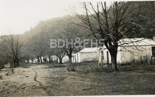
Browse local photographs linked to Joadja
Explore the Society’s photographs for sale
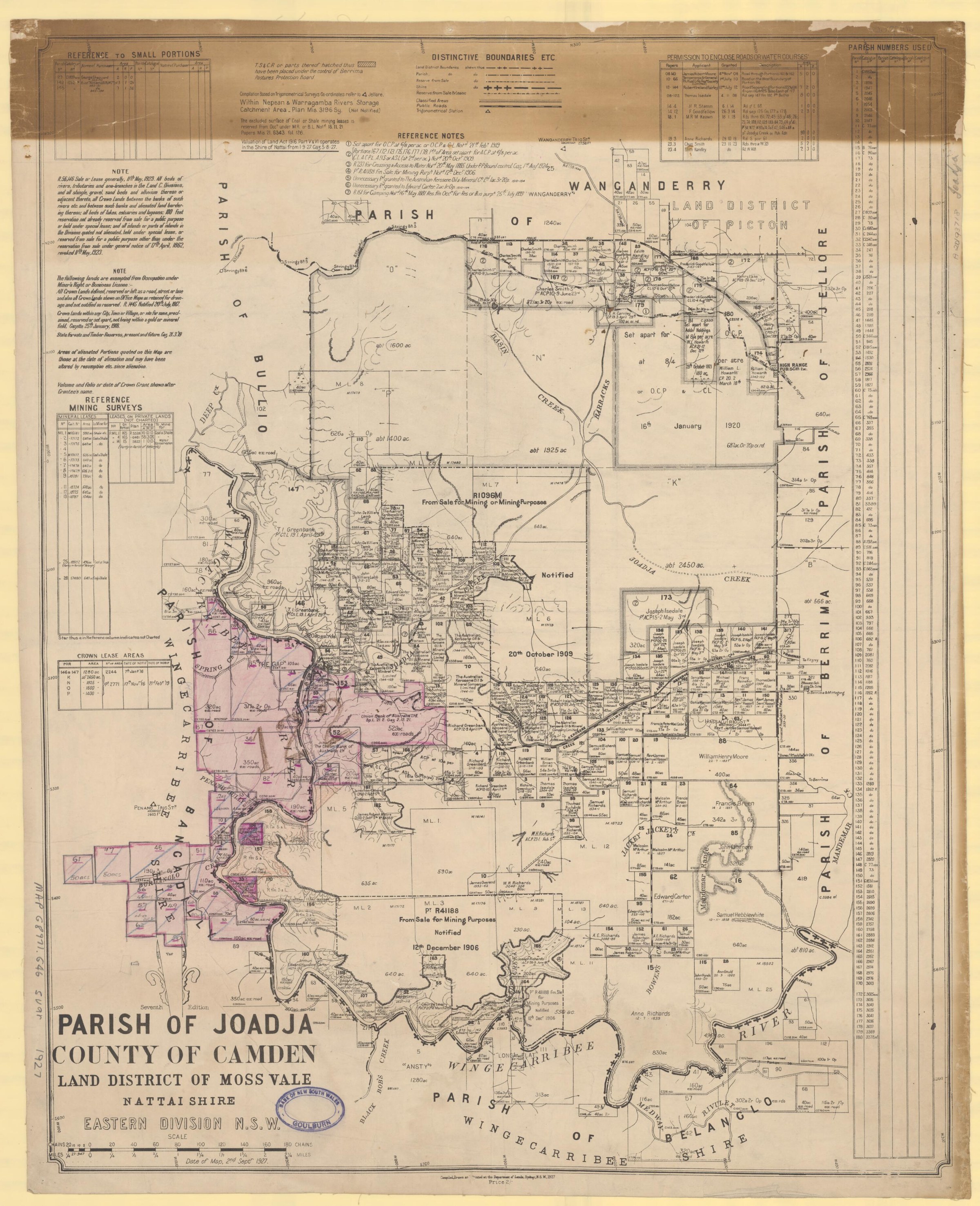
Browse maps and plans linked to Joadja
Newsletter Mentions
Stories about Joadja in the Society’s newsletters.
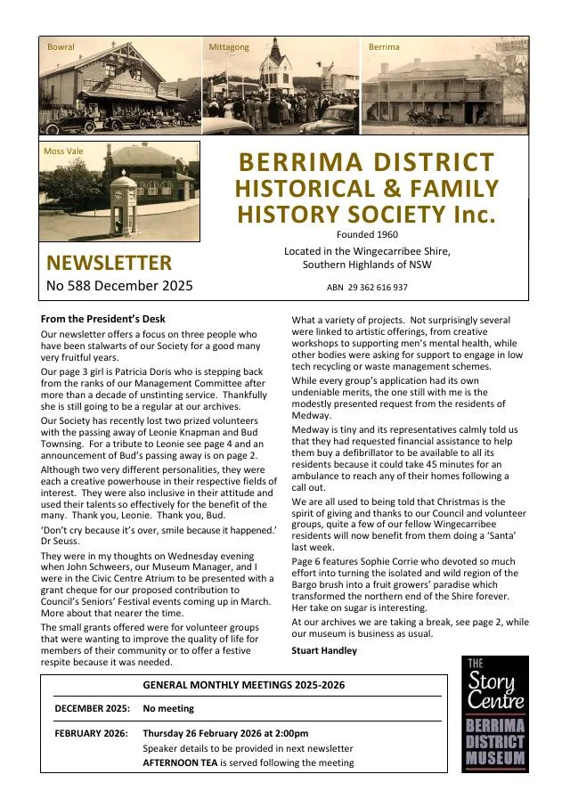
December 2025
- A tribute follows Leonie Knapman’s local history, tourism and Society work, including Back to Joadja weekends (pp.4-5).
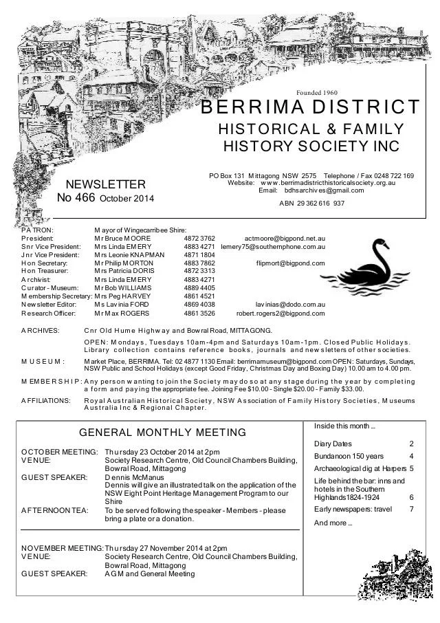
October 2014
- A heritage talk describes conservation work at Joadja, including Carrington Row (p.3).
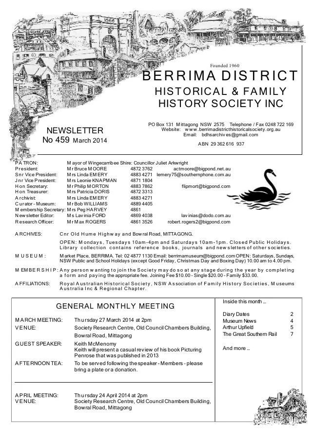
March 2014
- The issue introduces Keith McMenomy’s Picturing Penrose and a Society tour of Joadja (p.3).
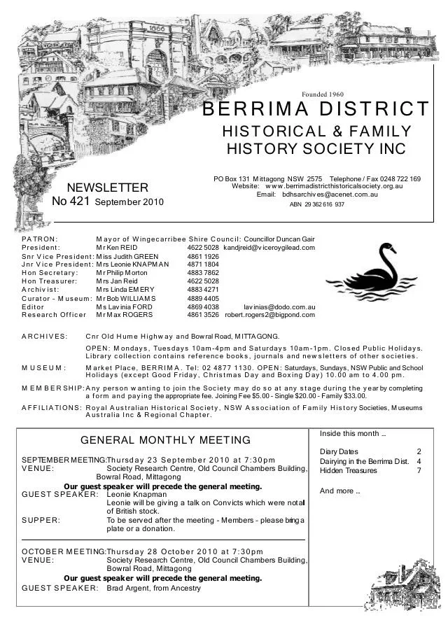
September 2010
- Leonie Knapman is profiled for her local tourism, Joadja research and Society work, and introduces a talk on the diverse origins of convicts (p.3).
Books in our Library
These catalogue titles mention Joadja. Check the linked catalogue and ask the Society about access.
- A History of Joadja. - catalogue p. 4
- Australian Kerosene Oil & Mineral Company Limited Joadja Creek, Southern Highlands N.S.W. (1997) - catalogue p. 11
- Documentaries: Val Mulcahy - aboriginal elder and footage of the Joadja property designed by the late architect, Harry Seidl (2015) - catalogue p. 21
- Joadja Creek and its Ruins: An atlas of photographs and brief descriptions with selected references and documents (1995) - catalogue p. 37
- Joadja Creek Ruins: An archaelogical Assessment of "Boarding House Gully". (2002) - catalogue p. 37
Further research
There is more to discover about Joadja in the Society’s archives and in other collections. A catalogue entry may lead to material that has not been digitised or needs to be consulted in person.
- Ask the Society’s research centre about local files, photographs and records.
- State Library of NSW collections - search photographs, maps, manuscripts and local publications.
- NSW Historical Land Records Viewer - search historical land records, plans and parish maps by place or parcel.
Sources already connected with this place include:
- State Library of NSW: Fell and Wood family papers
- Wingecarribee Council heritage study review, May 2024, p.97
- Joadja and Wollondilly River Nature Reserves Plan of Management, p.8
- New South Wales in 1881, p.79: contemporary description of the Joadja works
The Society can undertake professional research at $40 per hour. Contact the research centre to discuss your question and request a quote.