Discover Wattle Ridge
A bushland locality near Hill Top with connections to the Nattai landscape and its conservation history.
Explore nearby and connected places: Hill Top · Balmoral · Colo Vale · Yerrinbool
Wattle Ridge through time
Country and the ridge
The broader Nattai reserves are the traditional home of D’harawal and Gundangarra Aboriginal people, according to NSW National Parks. Aboriginal connections with this Country continue. The National Parks record dates establishment of Nattai National Park to 13 December 1991; its history of conservation is part of a longer story of land, water and community use.[5][8]
Beyond Hill Top, Wattle Ridge Road leads towards a landscape of long ridges, deep valleys and bushland on the edge of the Nattai. The history of this quiet Wingecarribee locality reaches from Aboriginal connections with Country to rural holdings, bushfires and the protection of the surrounding landscape.[4]
A December 1909 Hill Top report places C. T. Smith at a property called Wattle Ridge and describes bushfires damaging grass, fencing and stock in the surrounding district. It is a contemporary reference to the name and to rural fire risk; the boundaries of the historical property should be checked against the later locality and land records.[9]
Maps, walking and the reserve
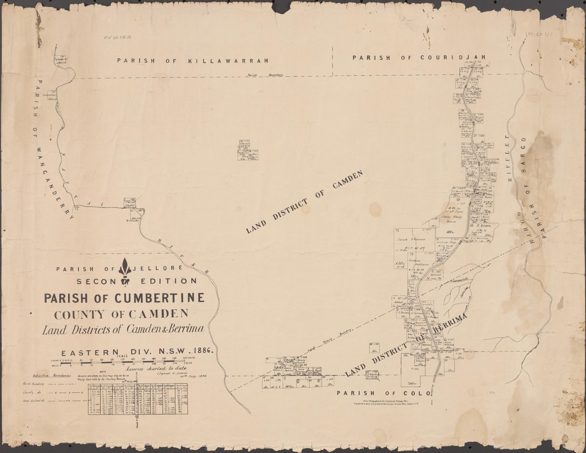
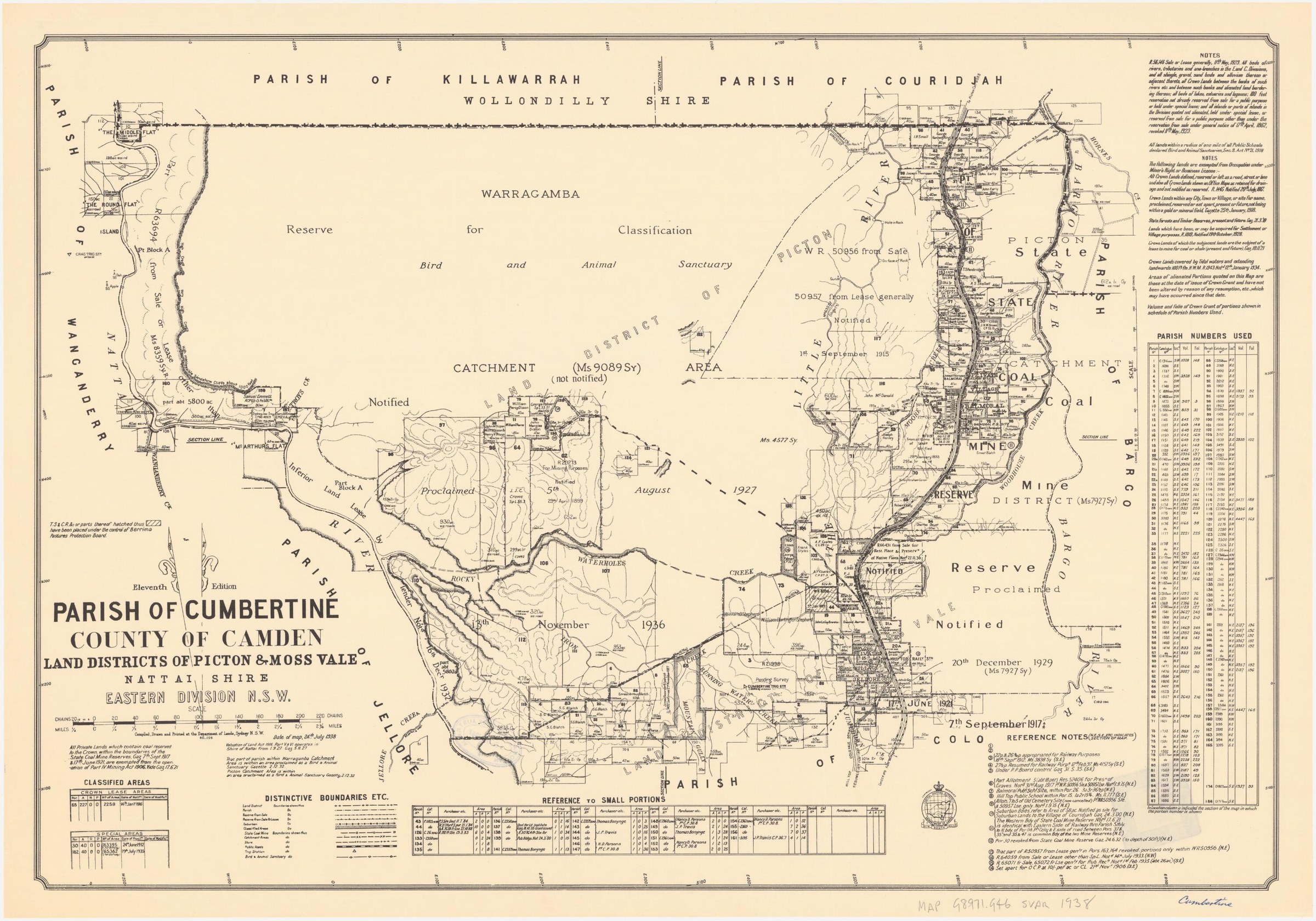
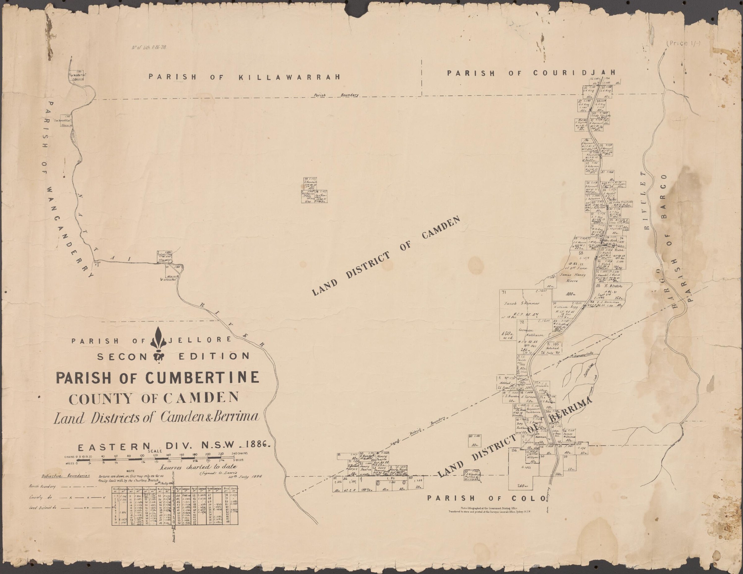
A 2007 cultural heritage assessment reproduces an 1898 Parish of Cumbertine map extract near Wattle Ridge. It identifies portions 121 and 124 as land formerly granted to John Randall, whom it describes as a brother of James Randall of Wattle Ridge. This is a lead for tracing the district’s rural holdings through the original grants and survey plans; the assessment’s marked study area is not a map of the modern locality.[10][11]
The Wattle Ridge carpark is the starting point for Starlights trail into Nattai National Park. National Parks describes it as a walk for experienced hikers and publishes current visitor information and alerts. A 2021-22 vegetation monitoring report for the Hill Top conservation area also records severe fire in December 2019 and subsequent regrowth at a site on Wattle Ridge Road. The report documents that surveyed site rather than every part of the locality.[6][7]
Parish maps, early land records and residents’ accounts offer ways to trace the district’s rural past. Some land is privately owned; visitors should follow current access signs and advice.[4]
Explore the Society’s photographs for sale
Read the landscape
1898
View figure 3.2 on PDF page 11; the accompanying discussion appears on the same page.
Cumbertine parish map extract: Wattle Ridge district
The assessment reproduces an annotated 1898 parish map extract near Wattle Ridge. It identifies portions 121 and 124 as formerly granted to John Randall and relates him to James Randall of Wattle Ridge. The overlay marks the assessment study area, not the boundary of the modern locality.
Related places: Wattle Ridge
NSW Land and Property Information map extract reproduced in Navin Officer Heritage Consultants, Hilltop Regional Shooting Complex Aboriginal Cultural Heritage Assessment, November 2007, figure 3.2.
View the map in the linked assessment; establish original map and annotation rights before separate reproduction.
Browse maps and plans linked to Wattle Ridge
Explore the newsletters
Search newsletter contents for Wattle Ridge. You can also try nearby places, former names and other spellings.
Further research
There is more to discover about Wattle Ridge in the Society’s archives and in other collections. A catalogue entry may lead to material that has not been digitised or needs to be consulted in person.
- Ask the Society’s research centre about local files, photographs and records.
- State Library of NSW collections - search photographs, maps, manuscripts and local publications.
- NSW Historical Land Records Viewer - search historical land records, plans and parish maps by place or parcel.
Sources already connected with this place include:
- NSW Electoral Commission: Wingecarribee localities
- NSW National Parks: Nattai reserves and Aboriginal Country
- NSW National Parks: Starlights trail visitor information
- NSW Office of Sport: Hill Top conservation-area monitoring, 2021-22
The Society can undertake professional research at $40 per hour. Contact the research centre to discuss your question and request a quote.