Discover Bong Bong
Bong Bong was the district’s first European town settlement, established beside the Wingecarribee River in 1821 before Berrima became the road-centred successor.
Explore nearby and connected places: Mittagong · Moss Vale · Berrima
Bong Bong through time
Early journeys and a river crossing
John Price’s journal offers an early written colonial account of journeys through the wider district in 1798. Philip Morton summarises the expeditions led by John Wilson and reproduces extracts, drawing on R. H. Cambage’s 1919 reconstruction of the route. The modern place names attached to the journal are interpretations of that route and should be checked against the original text and maps; Aboriginal people knew and travelled this country long before these expeditions.[21]
Bong Bong was connected to the coast by tracks long before a practicable road for wheeled vehicles was established. Philip Morton’s account describes Charles Throsby’s 1818 journey with Aboriginal guides via Meryla Pass into Yarrunga and Kangaroo Valley. The pass later carried stock and, after the railway opened, produce towards Werai siding. The article also follows Robert Hoddle’s 1830 survey through the Yarrawa Brush towards Kiama and subsequent road surveys. These colonial records sit within a much longer history of Aboriginal routes and knowledge.[20]
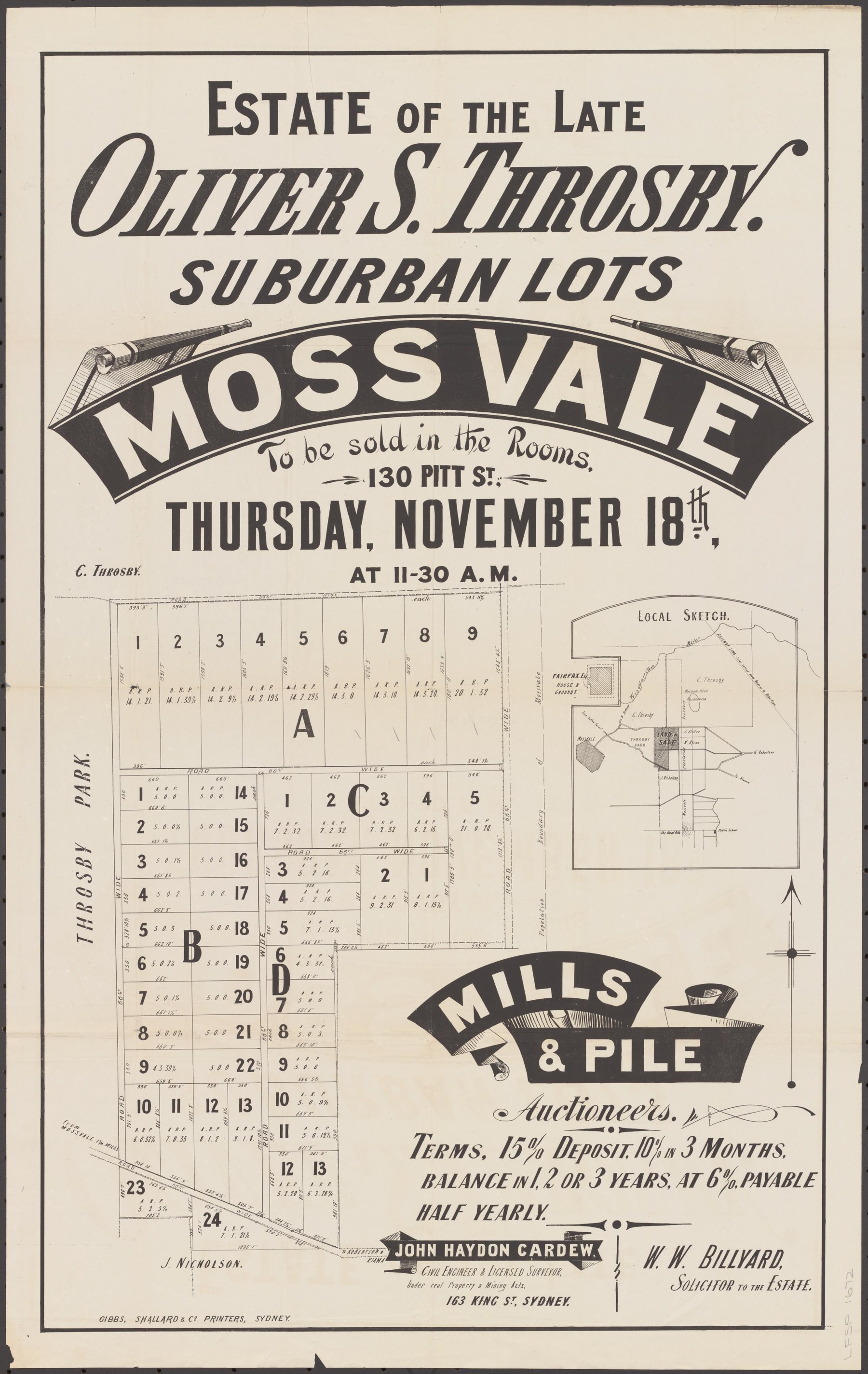
Heritage NSW records the first town settlement in the district at Bong Bong in 1821, about eight kilometres south-east of Berrima on the Wingecarribee River. The old south road through Mittagong and Bong Bong carried traffic until the Great South Road through Berrima opened, after which the earlier alignment was deserted. Council describes the former settlement as lying on Moss Vale Road between Moss Vale and Burradoo, marked by an obelisk within the Burradoo Landscape Conservation Area. Bong Bong is therefore a historical locality, not simply a modern suburb label.[13][14]
Church and community
The district’s church history can be followed through family papers and contemporary notices. A descendant’s account in the Society newsletter traces the Stone and Nicholson family connections and reproduces an 1845 newspaper report of a church ceremony associated with Throsby Park. As with all family accounts, follow its references back to the original records.[15]
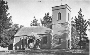
Christ Church Bong Bong was built and consecrated in 1845. Its own history attributes the design to architect John Verge and describes the support of Charles Throsby junior and Elizabeth Throsby. The churchyard and cemetery offer a further research trail, with grave locations and profiles available from the church; inscriptions and family links should be checked against registers and other records.[17][18]
The common and its surviving history
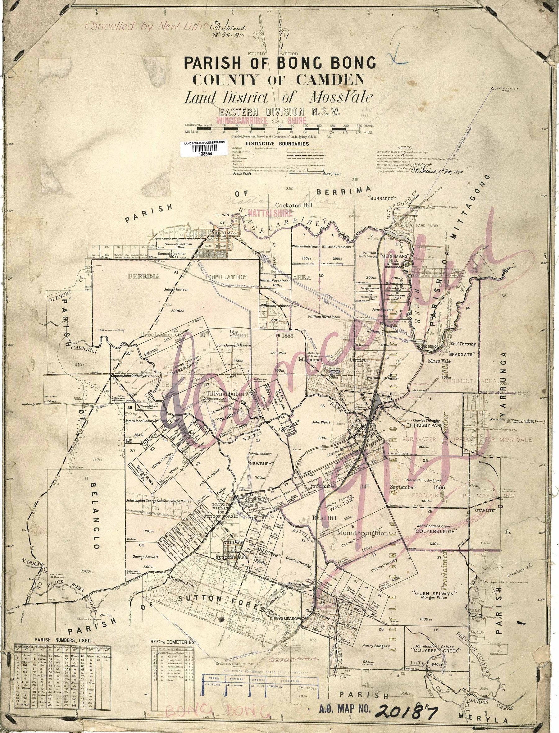
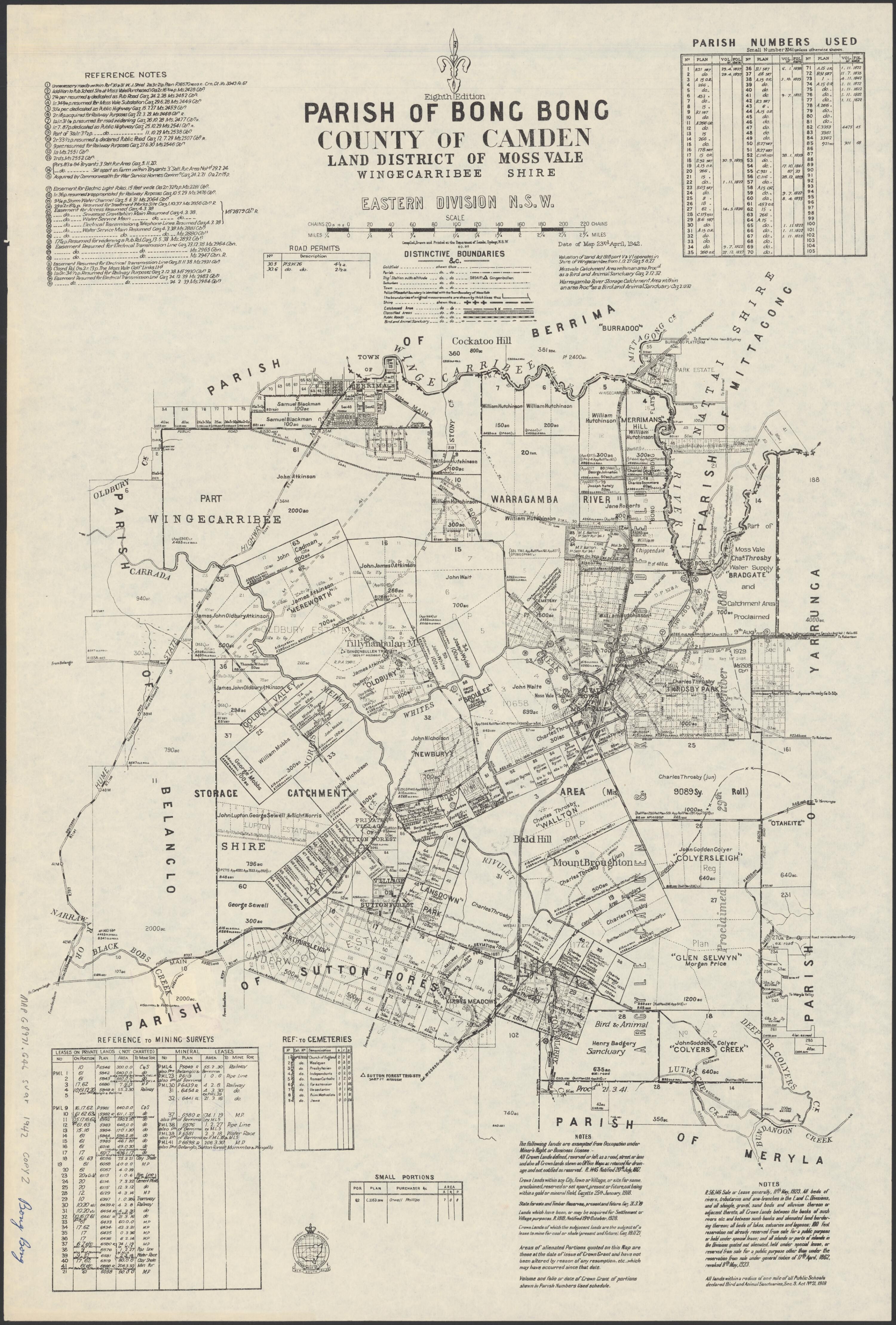
Bong Bong Common preserves part of the former settlement landscape beside the Wingecarribee River. The common management committee’s history brings together information about the early southern road, the crossing and the later shift of traffic towards Berrima. Old parish plans can help locate the original town layout alongside today’s landscape.[16]
In October 2021 Society members visited archaeological trenches at Bong Bong Common ahead of proposed works. Linda Emery reported preliminary evidence including postholes near the former lock-up, possible drains and a latrine near the commandant’s building or commissariat, and brick paving that may have belonged to the soldiers’ barracks. These were observations during an excavation, not final identifications; the archaeologists’ completed report should be consulted for conclusions.[19]
Browse local photographs linked to Bong Bong
Explore the Society’s photographs for sale
Read the landscape
Edition date unconfirmed
View the annotated extract on PDF page 125; the full original map has not yet been identified.
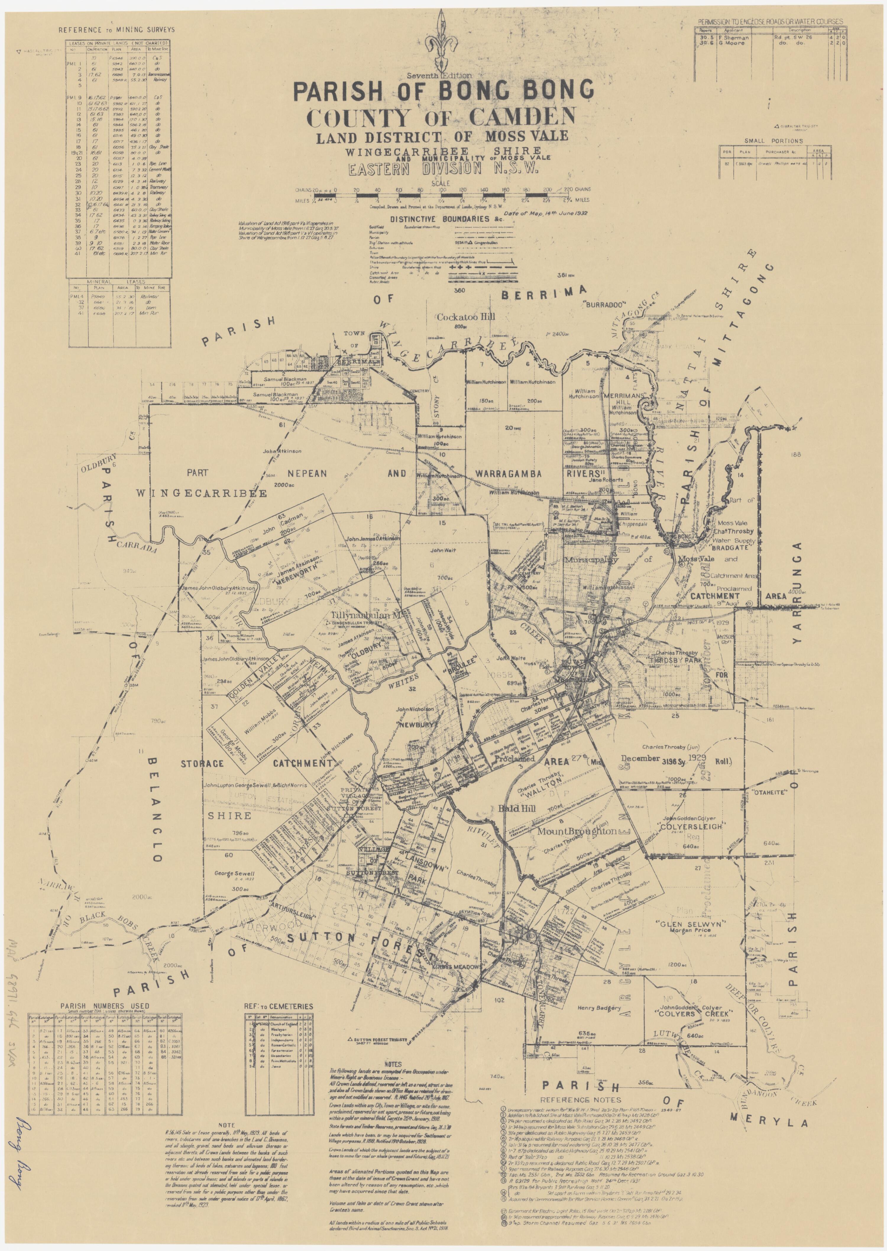
Parish map extract: Bong Bong and Austermere
The inspected extract shows the railway, Bong Bong, Moss Vale and named landholdings. The assessment overlays its study area in red and identifies the outline it attributes to William Hutchinson’s original 700-acre grant in blue. The full map and edition date need independent checking.
Related places: Bong Bong, Moss Vale, Berrima Junction
Historical Land Records Viewer map extract reproduced in Archive Heritage’s cultural heritage constraints assessment, in Wingecarribee Local Planning Panel agenda attachment, 23 July 2025, PDF page 125.
Follow the link to the assessment; check original map and assessment reuse conditions before reproducing.
Undated
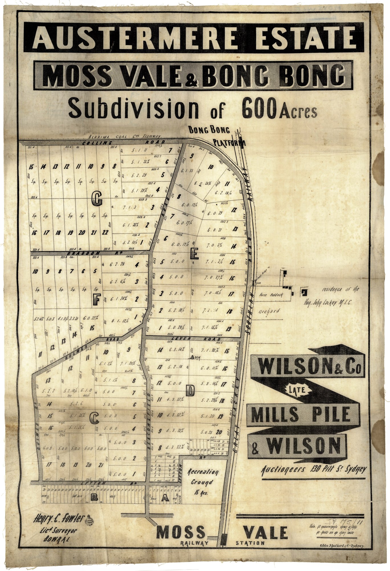
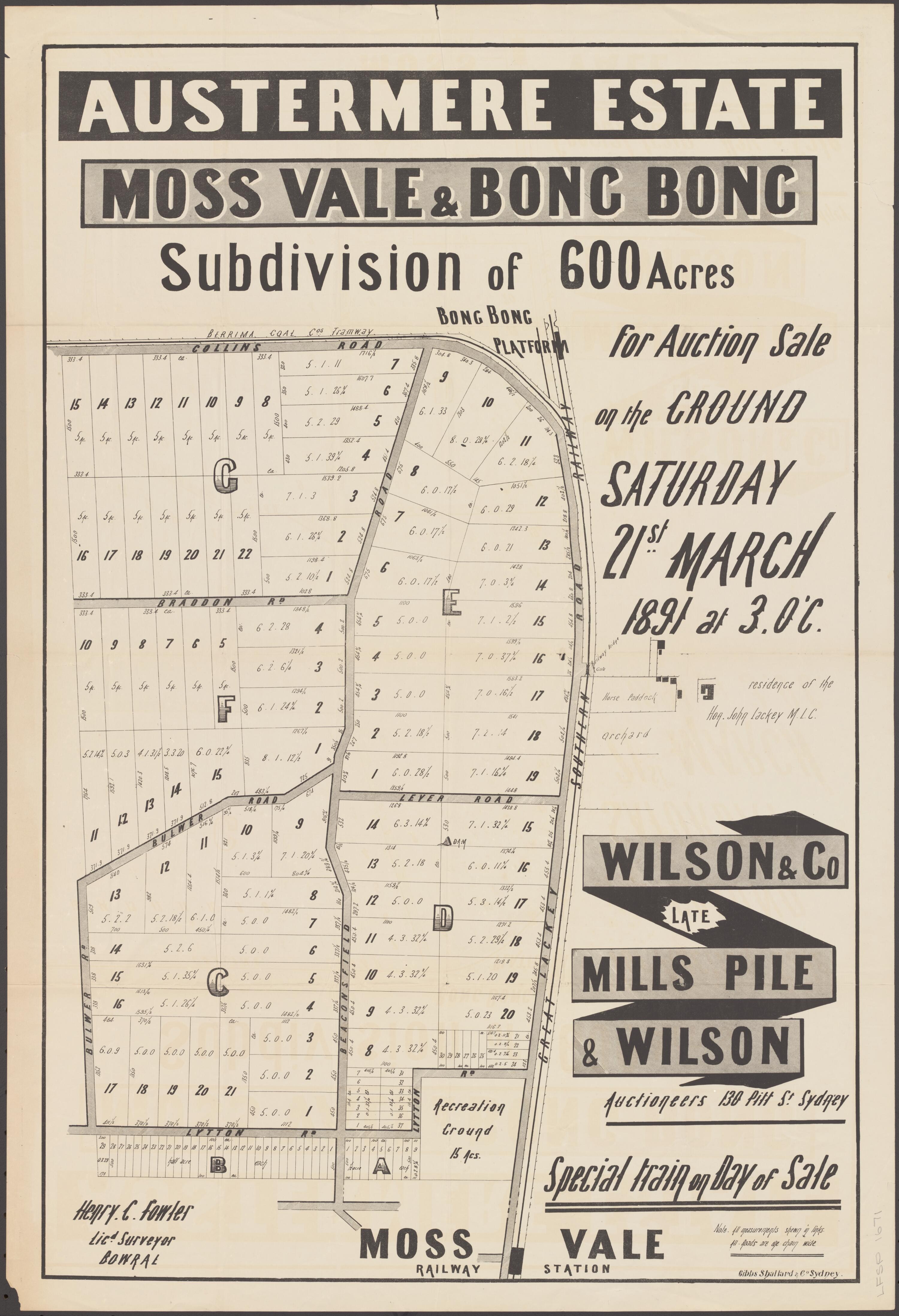
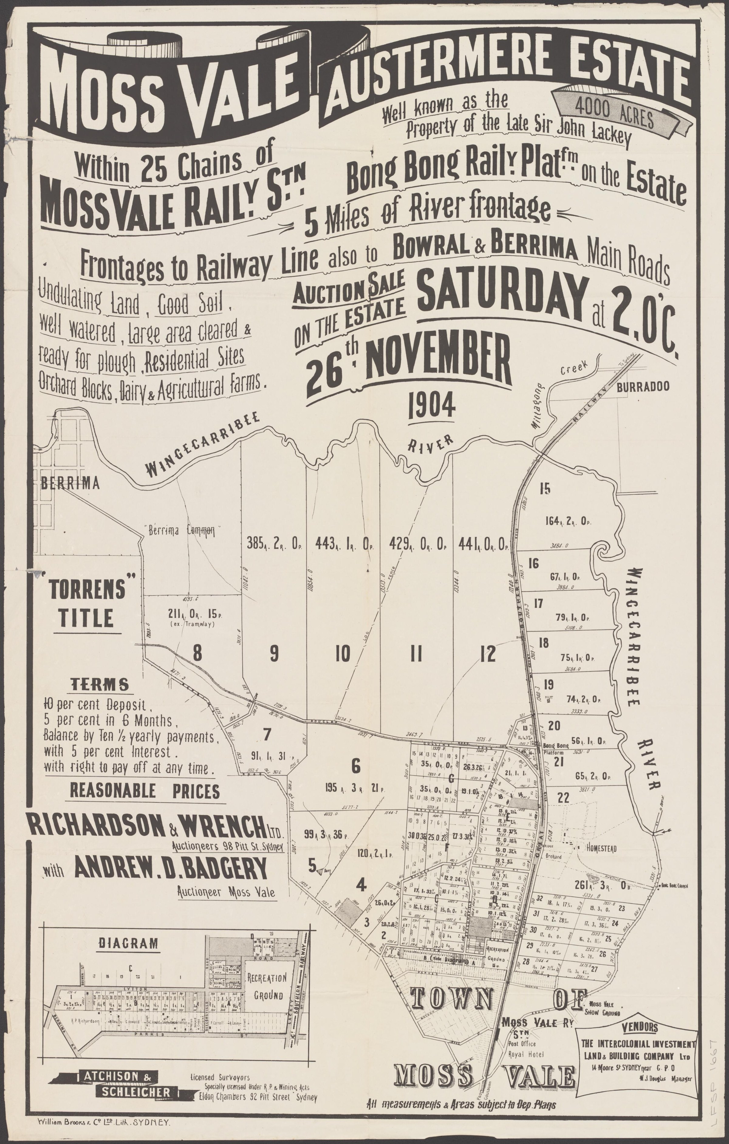
Austermere Estate: 600-acre subdivision plan
This version maps proposed lots, roads, the railway and Bong Bong platform. It is a related 600-acre plan; the reproduction does not itself show a sale date, so compare it with the dated 1891 auction poster before assuming they are identical.
Related places: Moss Vale, Bong Bong, Berrima Junction
State Library of New South Wales, Moss Vale subdivision plans, digital image FL20550711; surveyor Henry C. Fowler.
The State Library’s subdivision-plan guide says the plans are out of copyright and may be shared with acknowledgement.
Browse maps and plans linked to Bong Bong
Newsletter Mentions
Stories about Bong Bong in the Society’s newsletters.
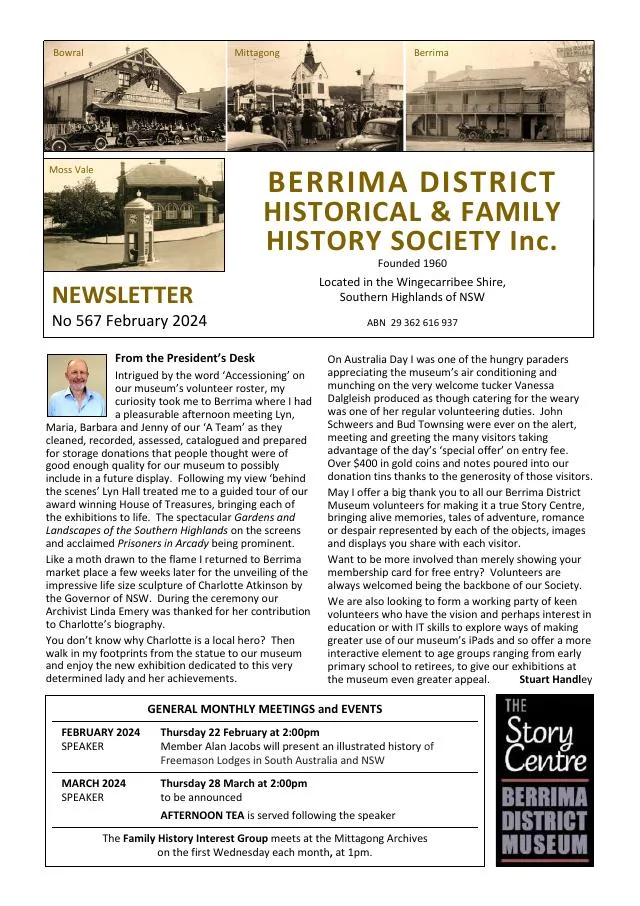
February 2024
- Philip Morton and Marg Muntz trace colonial courts, gaols and policing from Bong Bong and Berrima to other district towns (pp.5-7).
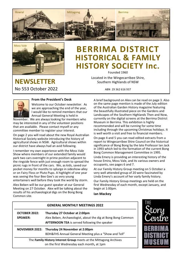
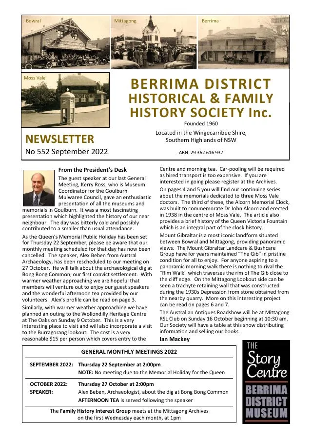
September 2022
- A visit to Wollondilly and a talk on the Bong Bong archaeological investigation are introduced (p.3).
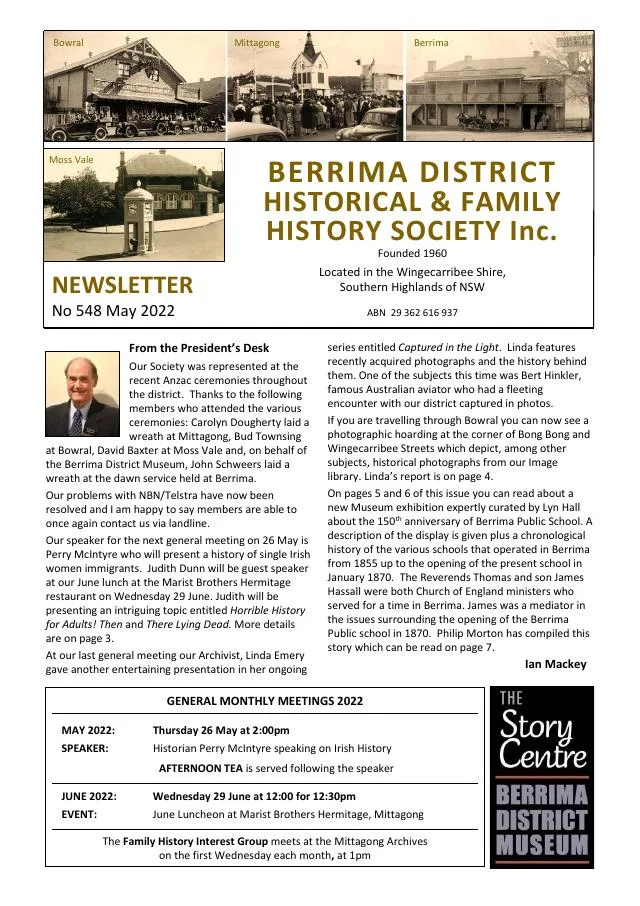
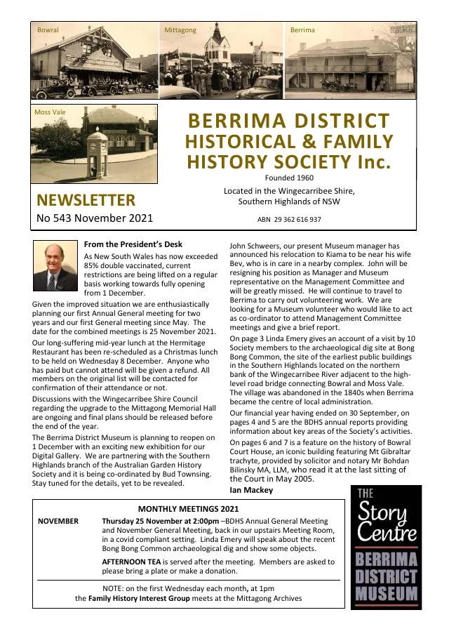
November 2021
- A site visit reports on an archaeological investigation at Bong Bong Common (p.3).
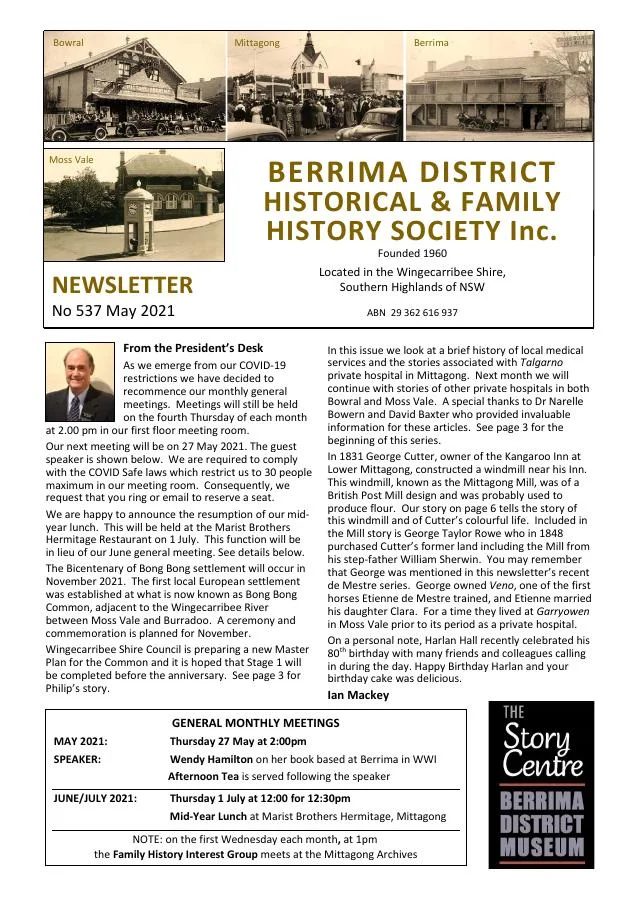
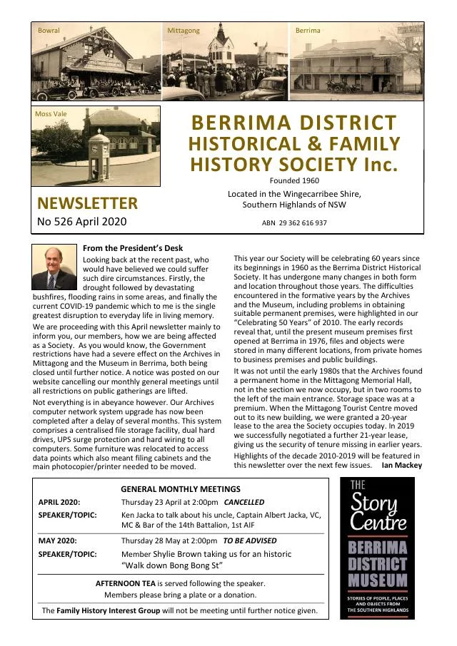
April 2020
- Linda Emery profiles singer Jane Anne Aimers, buried at Christ Church Bong Bong (p.4).
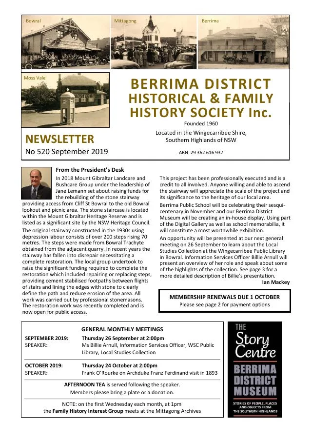
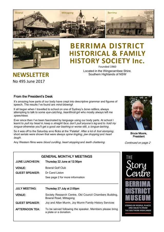
September 2019
- The issue recounts the 1959 Bong Bong school-bus flood rescue, a Belmore Falls lorry accident and the 1891 death of Michael Morris of Woodlands (pp.5-7).
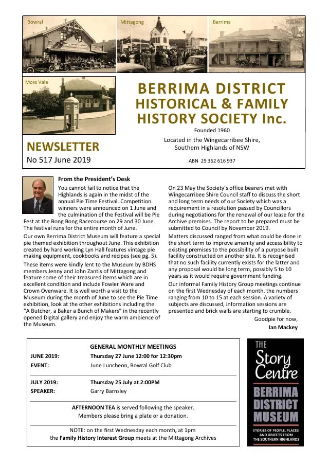
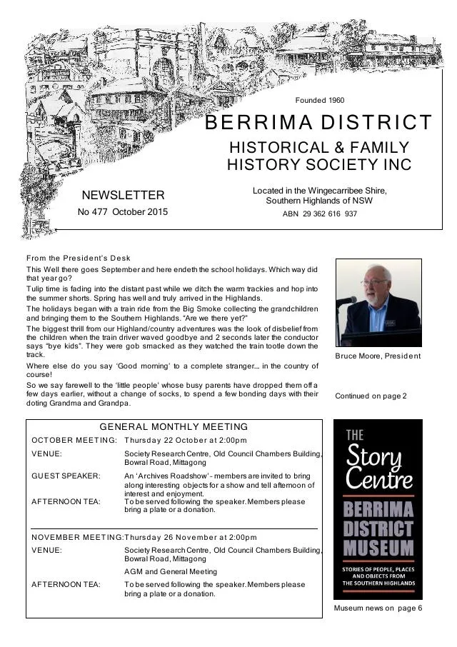
October 2015
- The issue discusses a 2015 heritage-listing proposal for Riverview Cottage and reprints an 1831 report of robberies near Bong Bong (p.7).
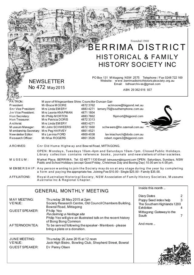
February 2014
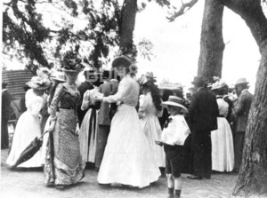
- Linda Emery traces a donated 1890 Bong Bong picnic-race prize through the Badgery family (p.3).
August 2010
- The Society reports a visit to Christ Church, Bong Bong, and introduces David Kemmis’s book on former railway routes (pp.5, 7).
Books in our Library
These catalogue titles mention Bong Bong. Check the linked catalogue and ask the Society about access.
- "Horsley" Historic Homestead Bong Bong Road, Dapto: On-site inspection brochure for your information. Prepared for the v (1980) - catalogue p. 1
- Archaelogical Assessment Bong Bong Reserve Moss Vale for Bong Bong Reserve Management Committee and Wingecarri (2002) - catalogue p. 9
- Bong Bong and Christ Church, Bong Bong 1800 - 2000 - catalogue p. 14
- Bong Bong Commemoration 1821 - 1947. (1947) - catalogue p. 14
- Bong Bong Common Precinct: Plan of Management. Reviewed February 2012. Original Adopted 9th March 2011. Minute N (2012) - catalogue p. 14
Further research
There is more to discover about Bong Bong in the Society’s archives and in other collections. A catalogue entry may lead to material that has not been digitised or needs to be consulted in person.
- Ask the Society’s research centre about local files, photographs and records.
- State Library of NSW collections - search photographs, maps, manuscripts and local publications.
- NSW Historical Land Records Viewer - search historical land records, plans and parish maps by place or parcel.
Sources already connected with this place include:
- Heritage NSW: Makin Cottage and colonisation of Berrima
- Wingecarribee Shire Council: Heritage
- Bong Bong Common Management Committee: history booklet
The Society can undertake professional research at $40 per hour. Contact the research centre to discuss your question and request a quote.