Discover Moss Vale
Trains, farms and the old Throsby estate helped shape Moss Vale. From its railway station, produce travelled from the eastern Highlands towards Sydney.
The 2021 Census counted 9,310 people in the ABS suburb and locality of Moss Vale.[72]


Explore nearby and connected places: Berrima · Mittagong · Bowral · Robertson
Moss Vale through time
From Throsby Park to a railway town
Before Moss Vale became a railway town, estates shaped the country around it. John and Mary Waite’s Browley holding began with a grant in 1819 and grew into a large property with a brick barn for grain and shearing. Later owners subdivided its land into rural and town allotments.[48]
By 1850, Throsby Park and adjoining estates dominated the district. When town plots went on sale in 1863 ahead of the railway, a new settlement began to gather beside the line. The railway from Sydney arrived in December 1867, bringing workers and their families; by the station’s opening there was already a store, postal service and hotel. Lewis Levy of Berrima was remembered as the first storekeeper, and subdivision from Throsby Park helped give the town its start.[32]
The line made Moss Vale the freight doorway for the farming districts opening up at Robertson, Burrawang and Wilde’s Meadow. Produce, market-garden crops and rural supplies moved between the Highlands and Sydney, while the name Moss Vale preserved the memory of Jemmy Moss, a former convict servant of Charles Throsby.[32]
Moss Vale station itself grew with the town. The first platform building dates from 1868, followed by a refreshment room in 1890 and a booking and parcels office in 1915. A carriage shed for the Governor’s carriage appeared in 1884, and a vice-regal entrance and waiting room in 1889 after the government acquired a nearby summer residence. The Society’s account notes uncertainty about who built the original station building.[55]
Postal services followed the shifting centre of the new town. The first post office opened in James Clifford’s building at Argyle and Waite streets in December 1867, then moved between store and station premises before the purpose-built post and telegraph office opened in 1891. Debate over its railway-side site showed that residents already held different ideas about where Moss Vale should grow. The Society later printed a correction to its postal-history account.[44]
Inns, workshops and the making of a town centre
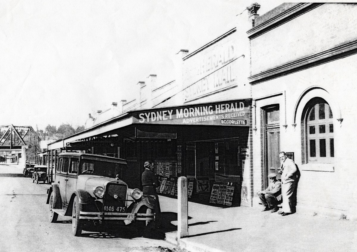
Travellers arriving by rail or coach found a town of inns. John Cullen’s Terminus Hotel became the Royal in 1880, while his brother James opened the Family Hotel at Argyle and Valetta streets in 1879. The Family Hotel became the booking office for the Moss Vale-Nowra coach in 1881, then lived on as Buena Vista Guest House before its demolition in 1940.[47]
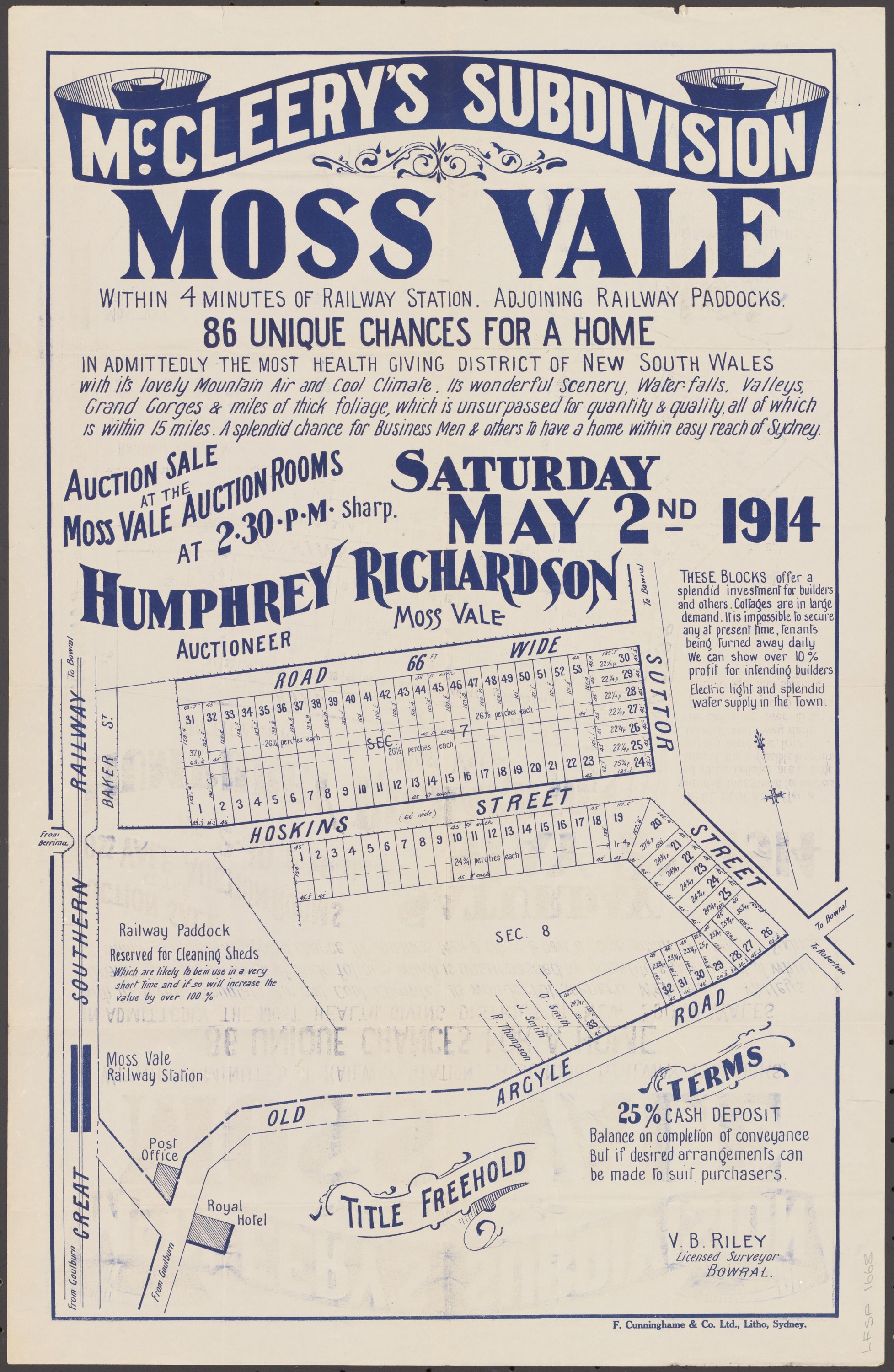
Workshops soon joined the hotels and stores. James McCleery established a blacksmith and coachbuilding business at Argyle and Valetta streets in 1883, with the family’s Rosebank home nearby. His sons continued the work, including wartime tool-cart contracts and a 1915 war-fund demonstration in which workers built a sulky; after a fire in 1919, the premises also became part of Cliff Howard’s story and his rotary hoe.[51][52]
The 1880s brought new pieces to the town’s public life. The first Berrima District Show was held in March 1884 on ground at Burrawang and Old South roads, chosen after P. H. Throsby offered alternative sites. The society later bought the showground, expanded its buildings and saw it serve as a military camp during the Second World War.[59][60]
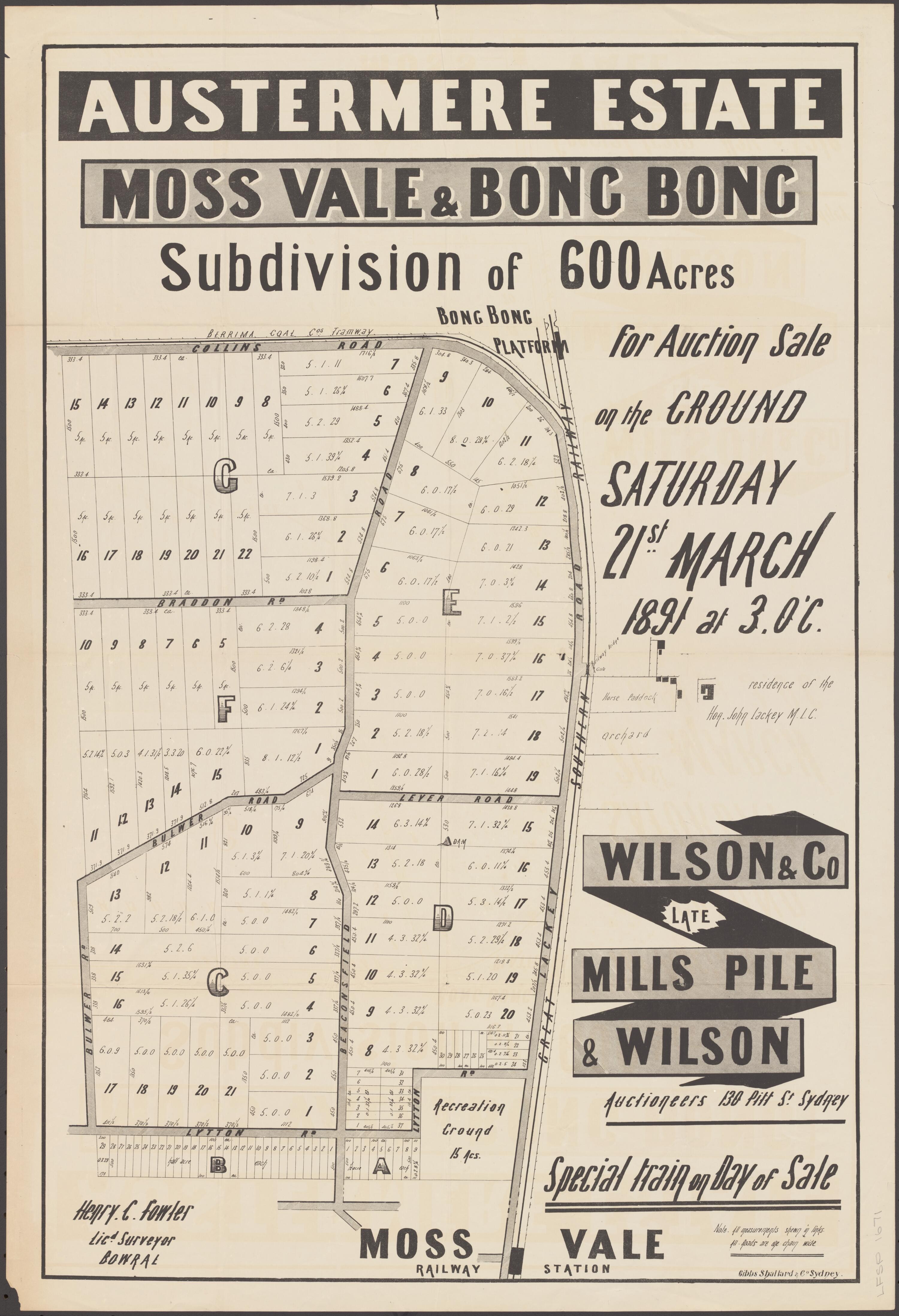
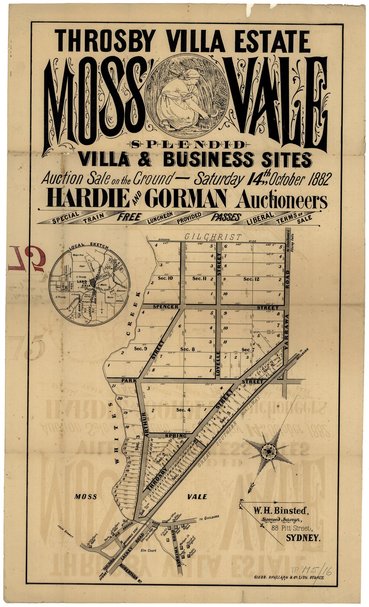
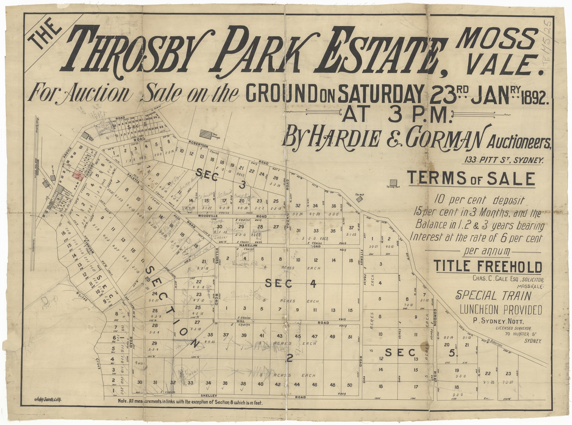
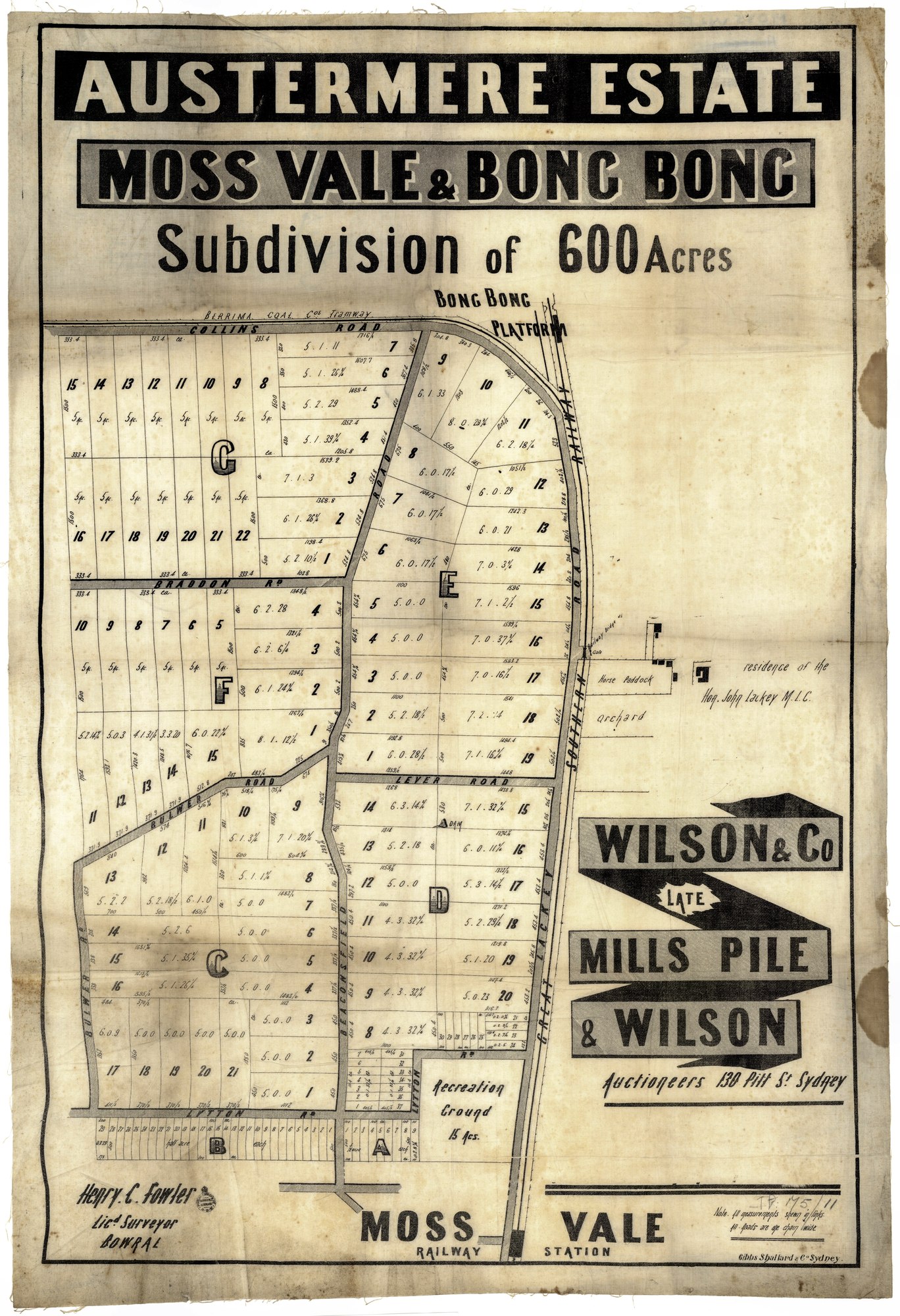
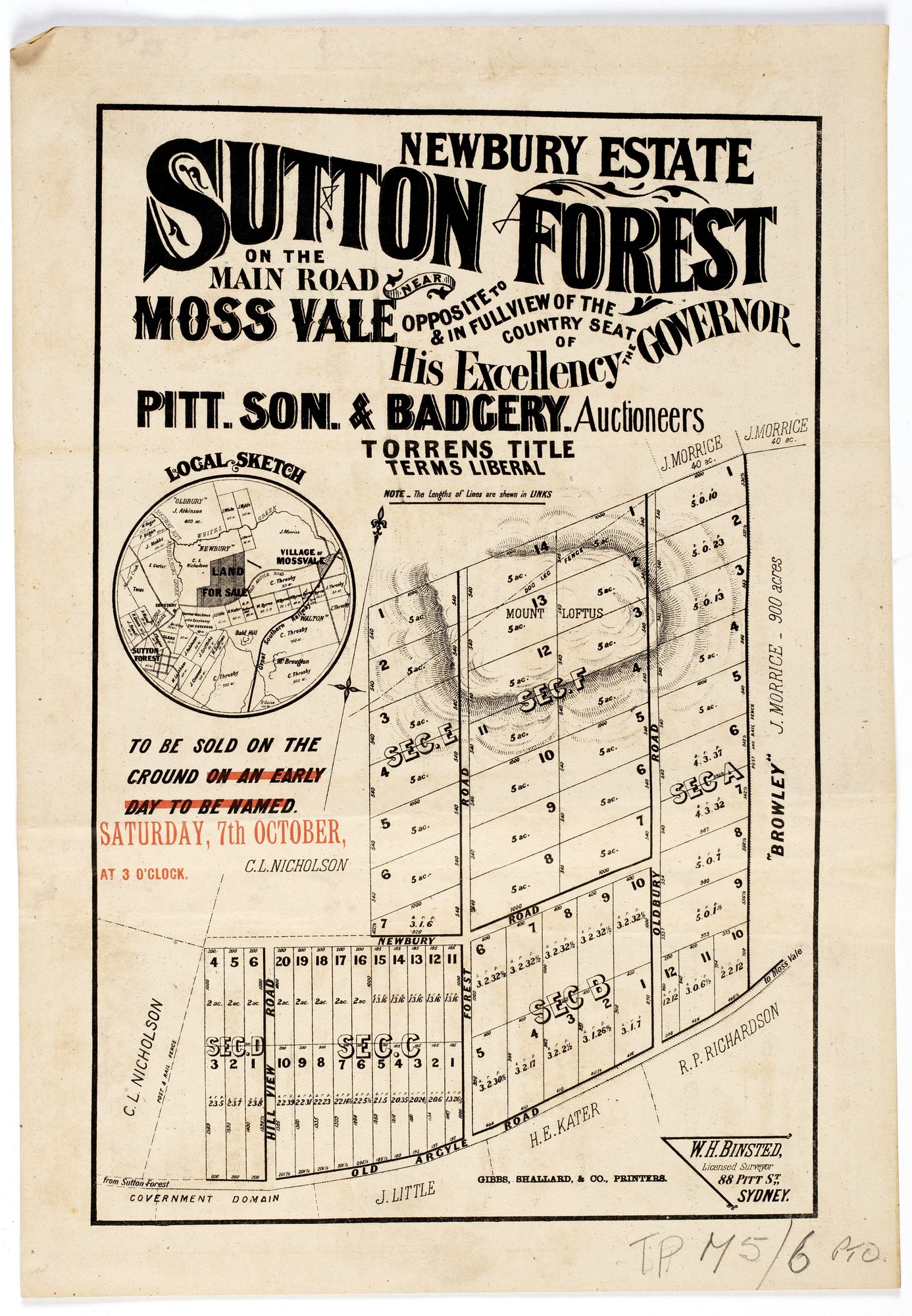
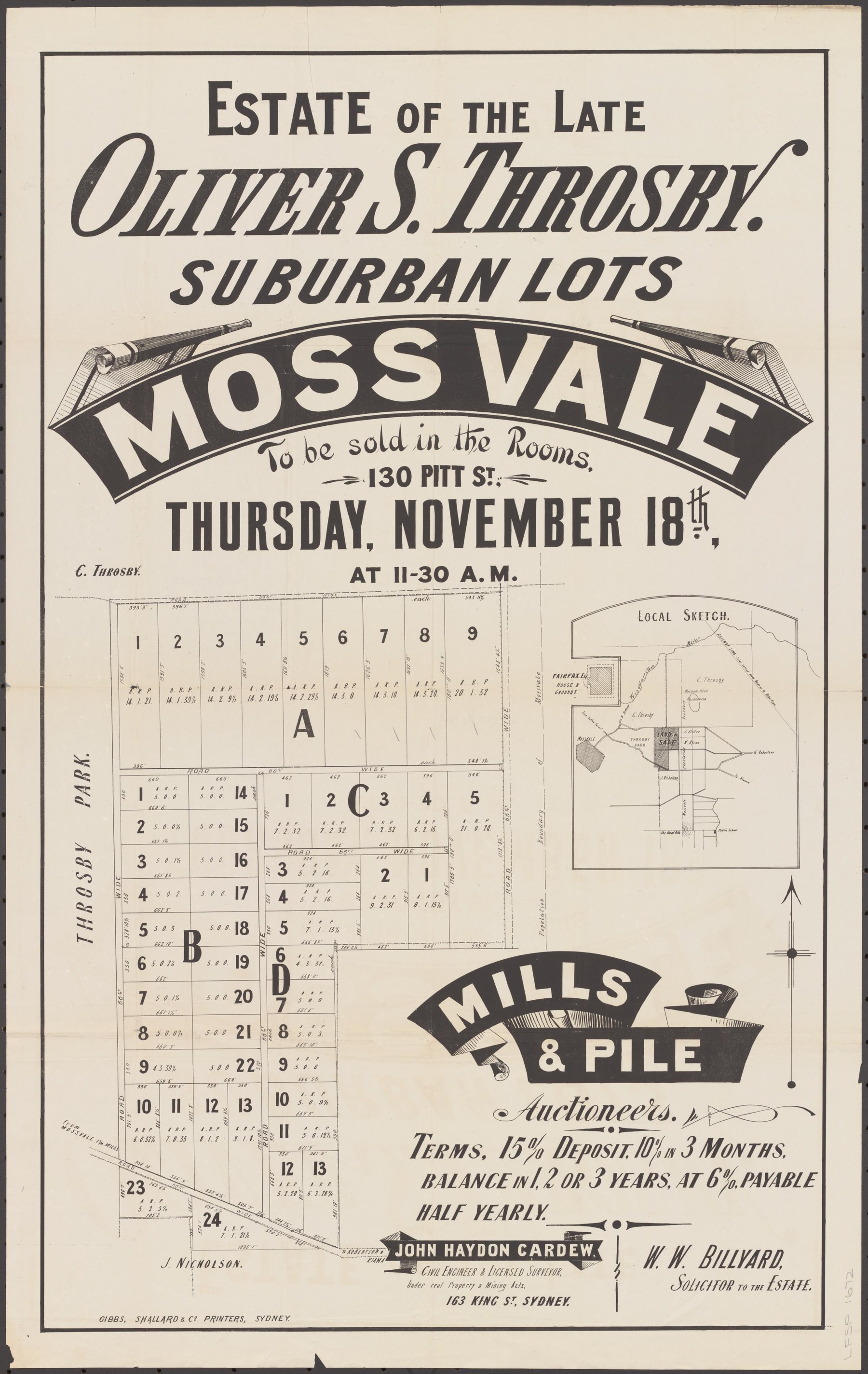
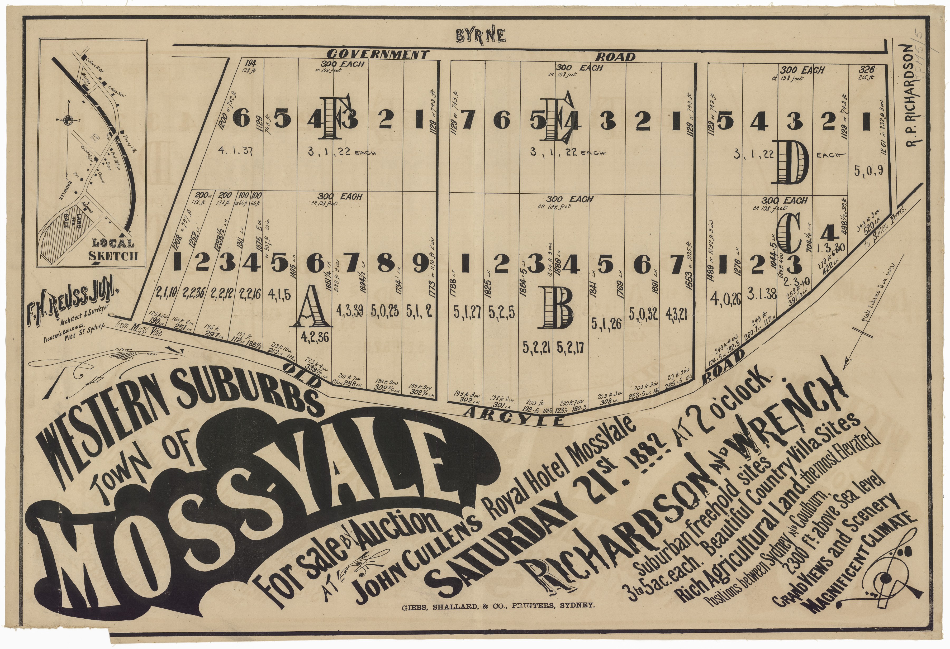
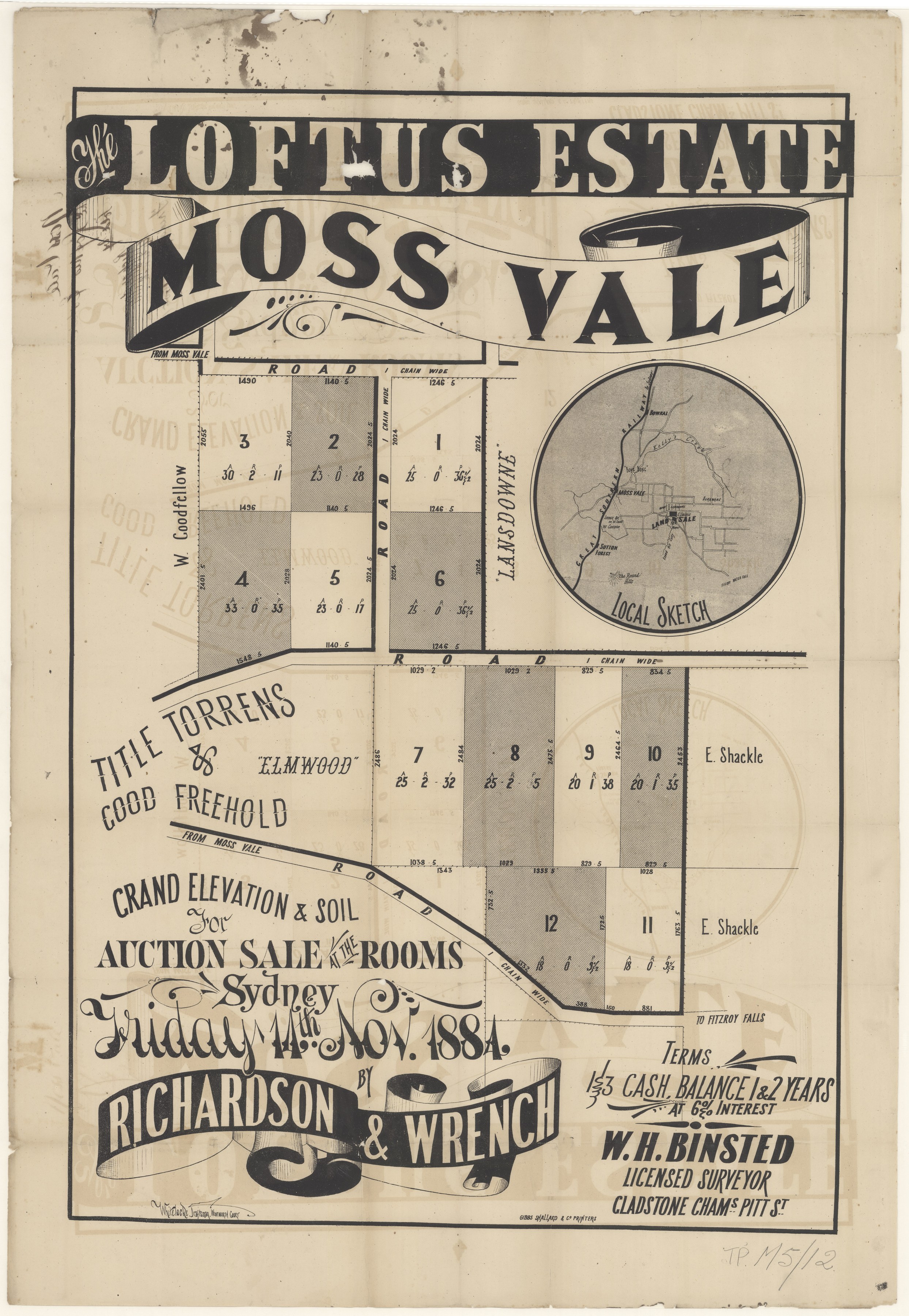
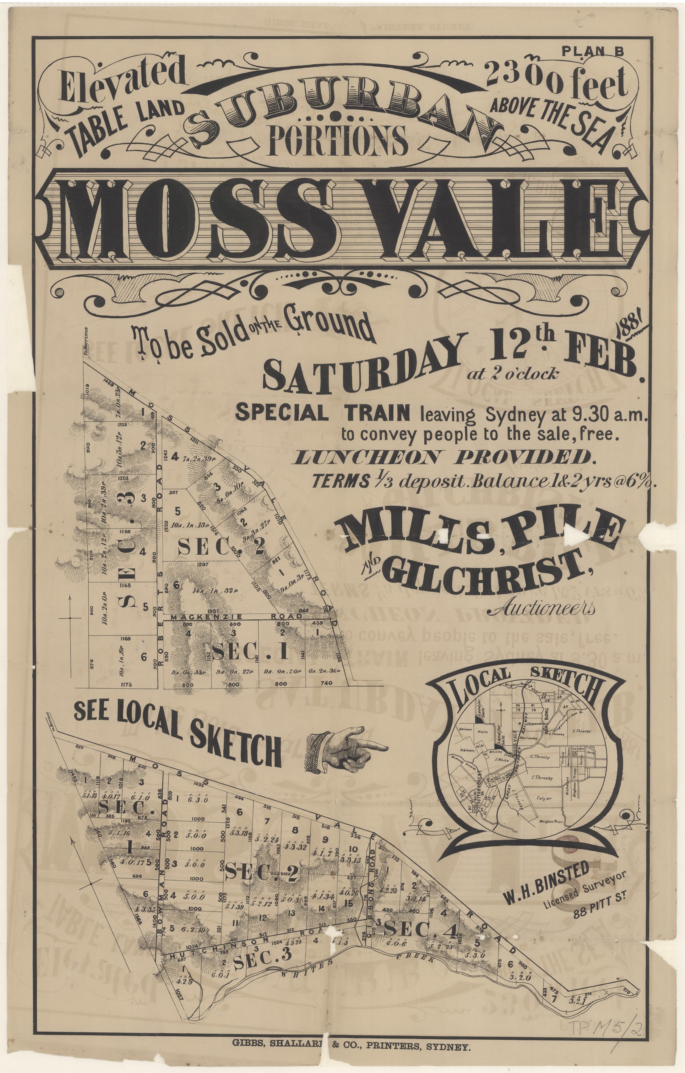
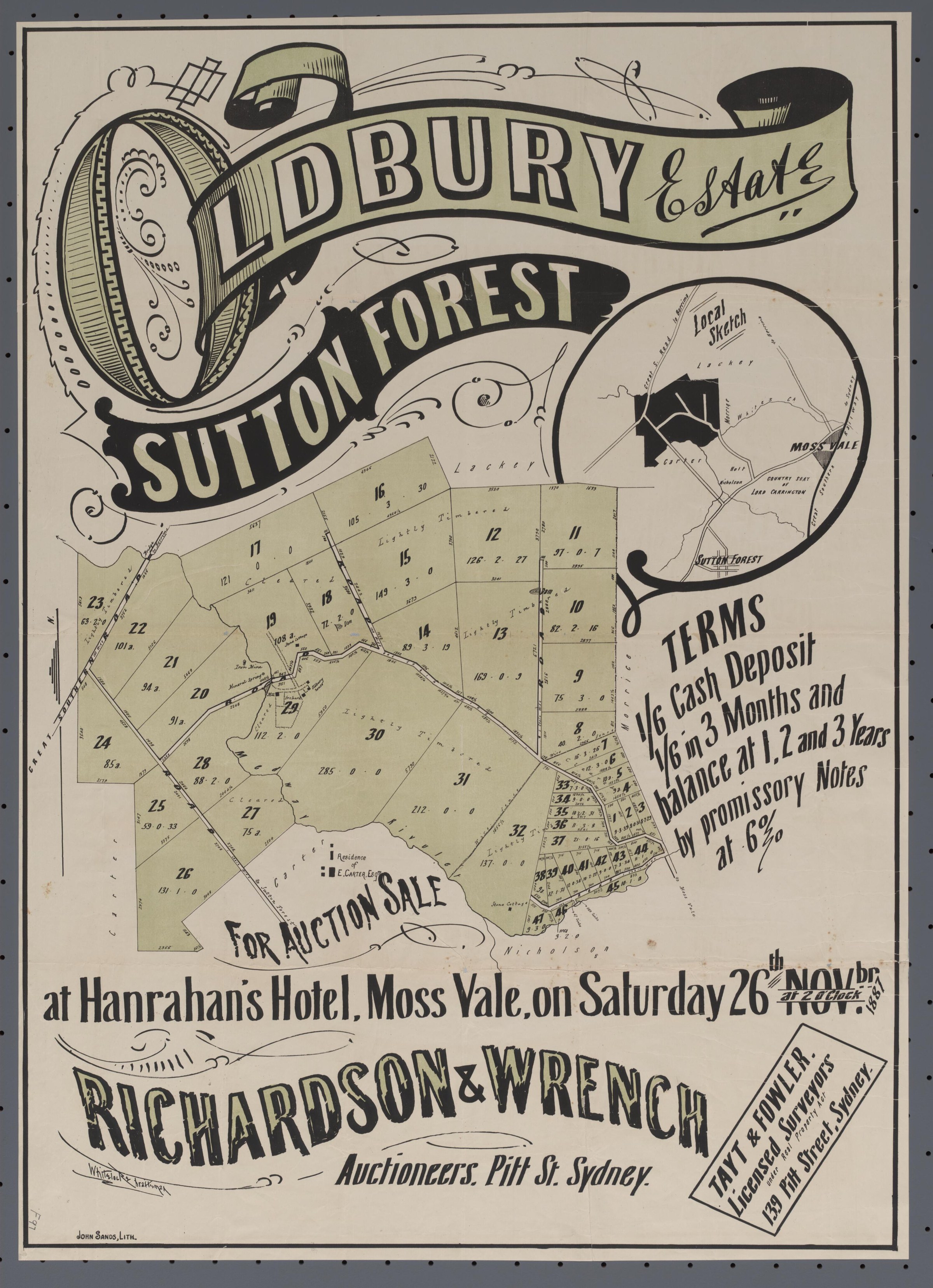
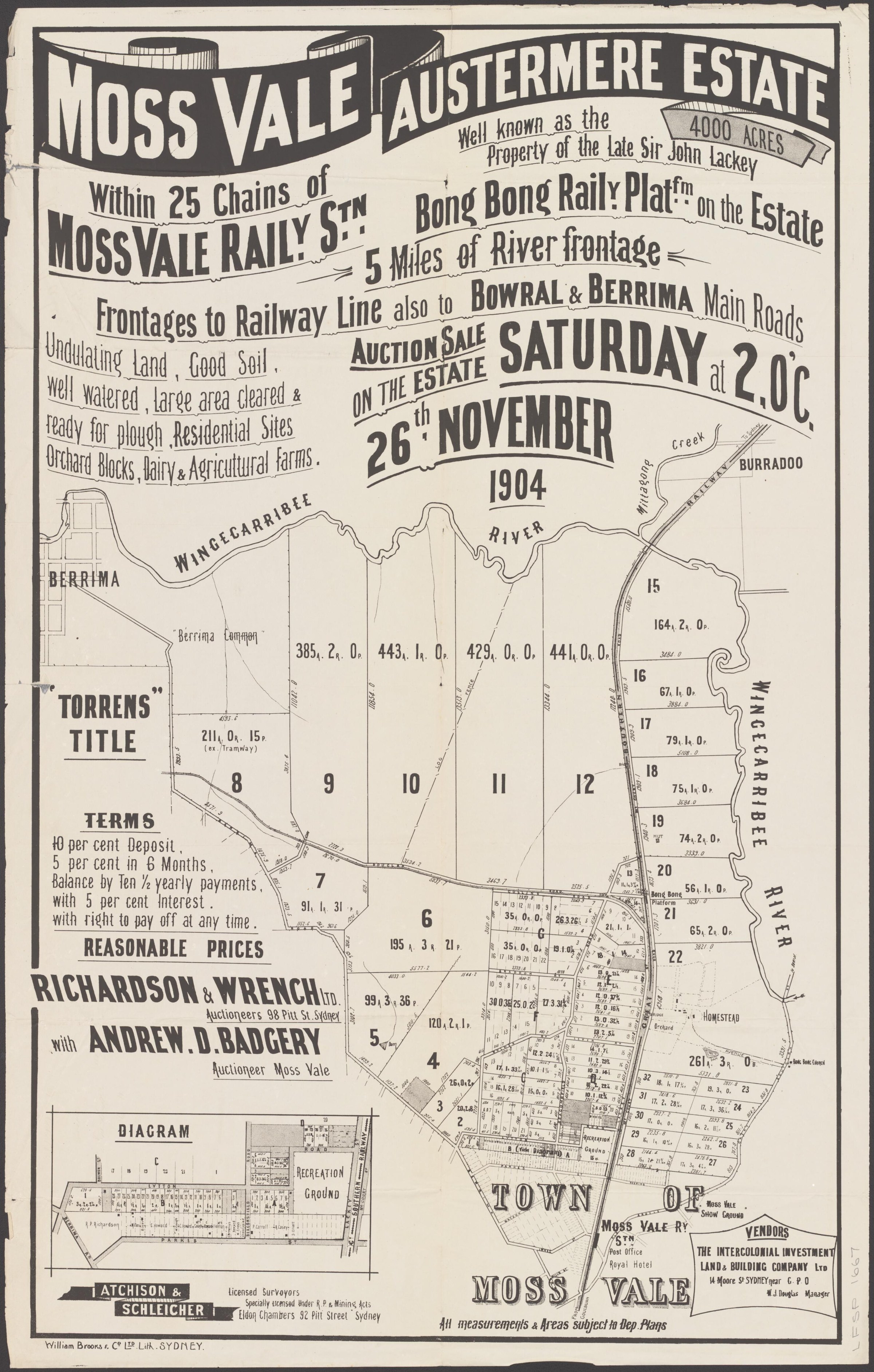
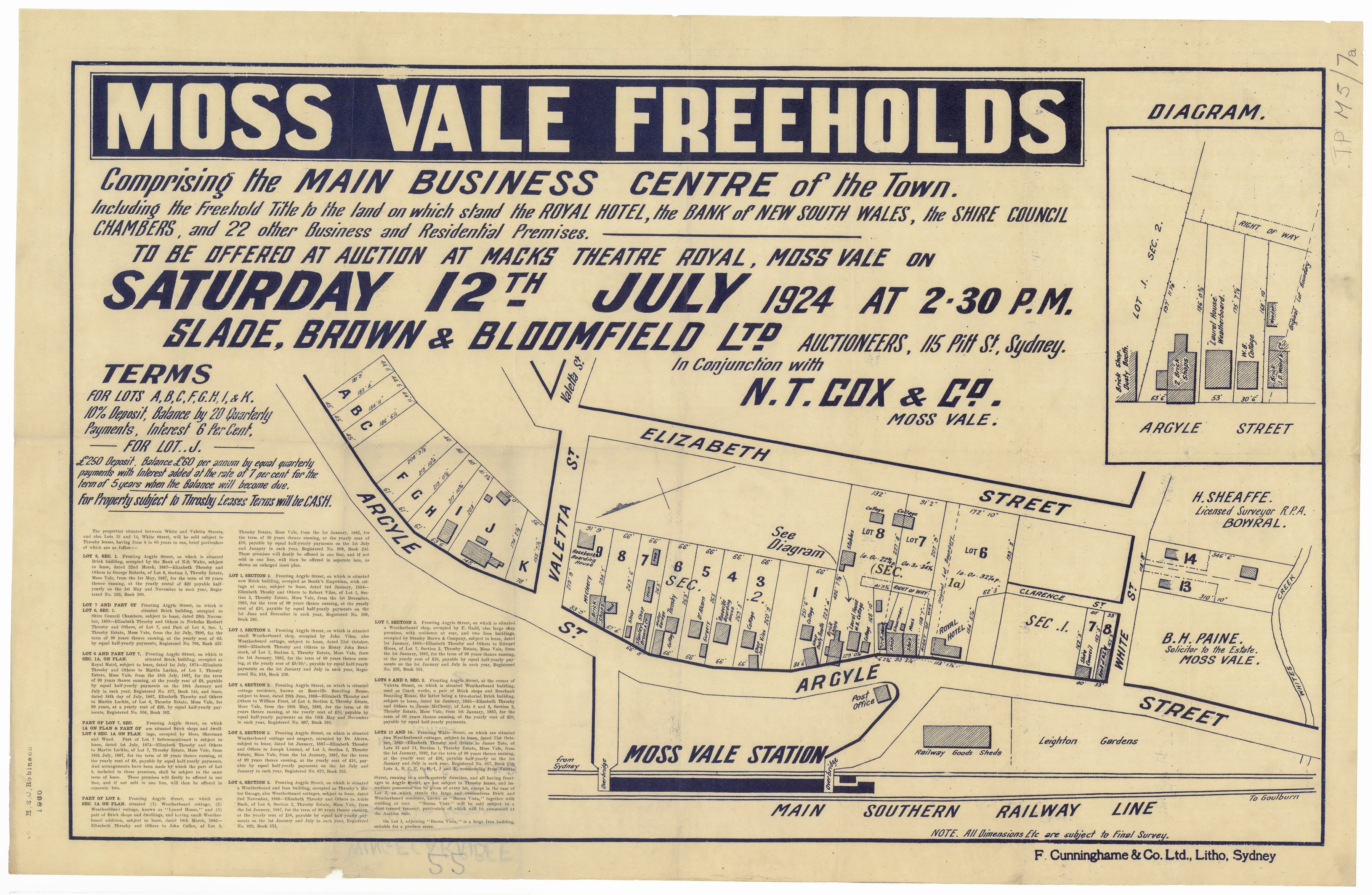
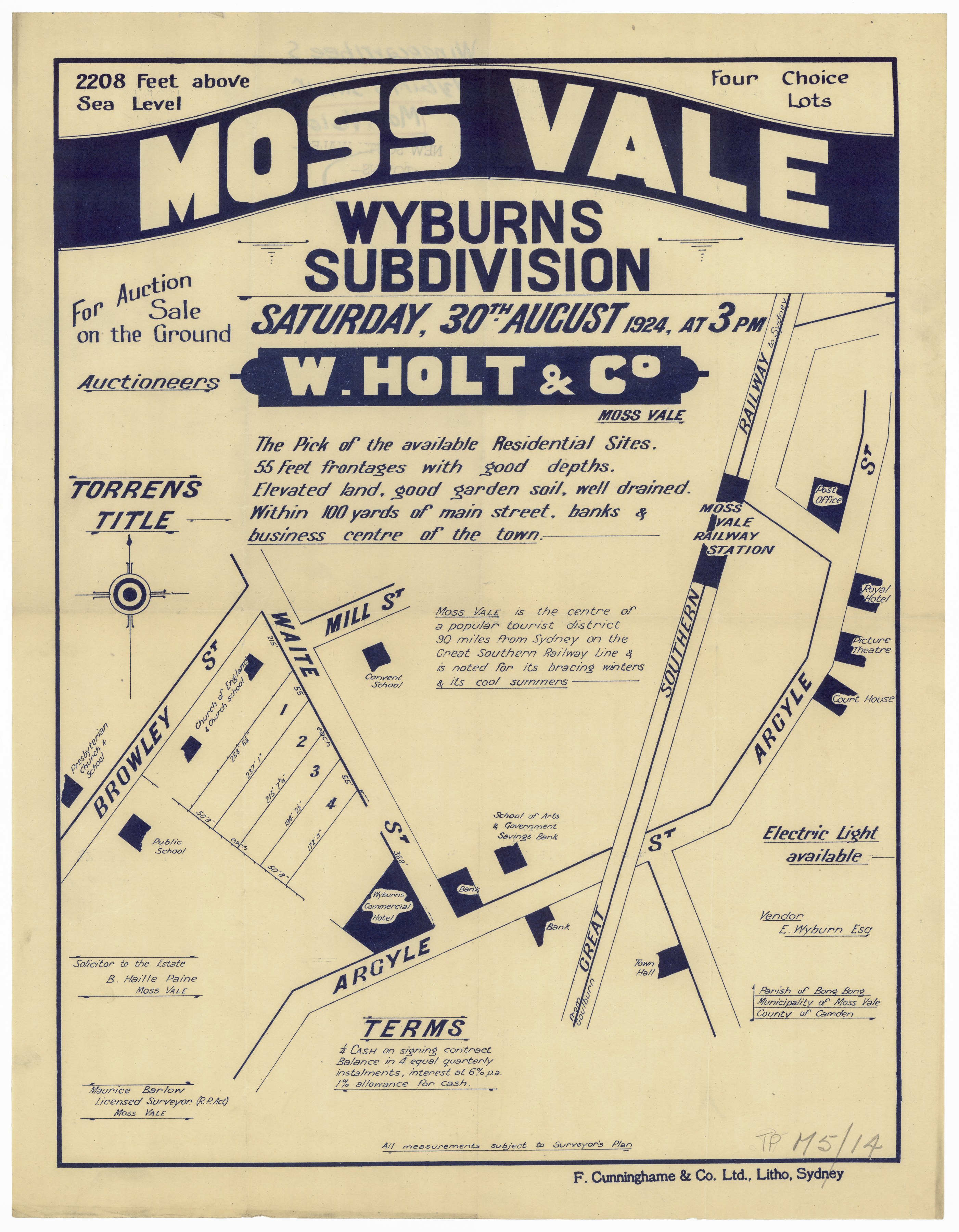
Land sales advertised the promise of the growing district. In October 1895, D. Clifford offered the old football ground by Waite’s Creek and allotments fronting Argyle and Elizabeth streets, while nearby Manchester Square farms were promoted for their proximity to Moss Vale and its butter factory. An 1886 Oliver S. Throsby estate auction also mapped suburban lots near Throsby Park, with roads, payment terms and a locality sketch.[64][65][66]
The State Library’s surviving subdivision plans keep this changing land market visible: its catalogue includes a Moss Vale township plan dated 12 February 1881 (Z/TP/M5/48) and a Glorigan Hill Estate plan dated 24 November 1917 (Z/TP/M5/49).[40]
Individual homes tell the same story at a smaller scale. Emira on Narellan Road grew from Throsby Park land and appeared on the 1917 Glorigan Hill Estate sale plan. Hazelton, on the southern edge of town, began as a boarding establishment after the 1882 Bull’s Hill subdivision, later housed a girls’ school and returned to guest-house use before Clara de Mestre acquired it in 1926.[38][45][57]
Civic life also had its public figures. Hotelkeeper and councillor Henry William Taylor, later president of Wingecarribee Shire Council, became district coroner in 1910 after an appointment that provoked debate in the NSW Parliament. He remained in the role until illness led to his retirement in 1922.[49]
Fountains, schools and community life
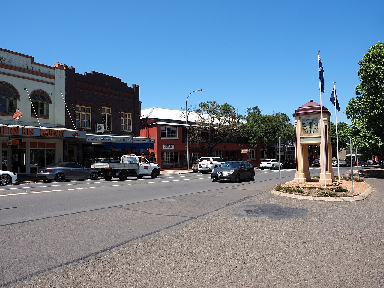
At Bay and Argyle streets, Moss Vale marked Queen Victoria’s Diamond Jubilee in 1897 with a fountain of Bowral trachyte. In 1938 the Alcorn Memorial Clock, honouring local doctor John Alcorn, was placed above it. Traffic later separated the two landmarks: the fountain moved in the late 1970s and was restored in Diamond Jubilee Park, while the clock remained.[35][58]
Water and learning changed everyday life as much as the railway did. A timber stave pipe found in Suttor Road in 2006 recalled an earlier water system; its exact age and use remain uncertain, and records describe cast-iron pipes for the town’s 1894 reticulation. Moss Vale’s School of Arts served as a meeting place and lending library. Its Argyle Street building remained the library until 1971, before the regional library service brought Moss Vale together with Bowral and Mittagong.[50][61]
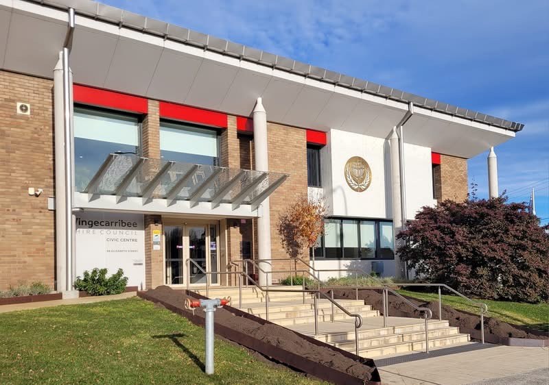
School memories give the town a more intimate voice. Former Koyong pupils remembered Miss Mein, school gardens, performances and the girls’ involvement in local organisations. The Civic Centre’s own story began with Katherine Donkin’s postwar gift of a house for a community centre, followed by land gifts and fundraising; local groups helped open a swimming pool in 1965, and Council moved into the Civic Centre in 1971.[37][41]
Sport bound the district together as well. The first Bong Bong Picnic Race meeting took place on Throsby Park land at Moss Vale in 1887. Its course later moved near the Briars Inn and then to Burradoo before the event was revived at Wyeera in 1959. A small gold-and-seed-pearl pin marked ‘Bong Bong 1890’ is likely to have been the second prize in the Wingecarribee Plate, won by Ripple.[42][56]
The railway’s growth also reshaped the town’s public buildings. The Society records that a court and police precinct was built near the station in 1880, then demolished to make room for railway expansion during duplication. Courts met in temporary premises while the town waited for a replacement. The foundation stone for a new courthouse was laid in June 1923, and the building opened the following year.[71]
Service, industry and a town through the twentieth century
Moss Vale’s medical history includes doctors, nurses and hospitals from the mid nineteenth century onward, with the former Garryowen hospital site one thread in that story. During the First World War, The Mill became a convalescent home for recovering servicemen, alongside Fairholme at Burradoo and the Southern Home at Exeter, where Red Cross volunteers gave care.[36][53][54]
The war also left a public landmark. Moss Vale’s soldiers’ memorial was unveiled on 8 January 1922 after a local campaign, on land at Argyle Street and Yarrawa Road given by Violet Bennett.[46]
Dairying tied the town to farms across the Southern Highlands. Contemporary newspapers reported that Dairy Farmers opened its Lackey’s Road factory on 27 September 1922, receiving milk from Robertson, Wildes Meadow, Exeter and Bundanoon for dispatch to Sydney or separation into butter. Later pasteurising, bottling and bulk collection followed, before road tankers took milk directly to Sydney from 1992; the former factory site became a retail centre. A later Society account gave 22 October as the opening date; contemporary reports support 27 September.[62][67][68][69][70]
The town’s commercial life continued to evolve. The local credit union bought a cottage at 226 Argyle Street in 1972, added the adjoining 224 property and opened replacement administrative offices in 1980. On a more personal scale, John McColgan remembered Depression-era Moss Vale from his parents’ grocery opposite the clock, including Wirths Circus elephants in the main street, the picture theatre and music for local dances.[43][63]
Moss Vale’s influence also travelled beyond its streets. A weatherboard cottage from 33 Railway Street was donated by Frank Lansley in 1975, moved to Berrima that December, opened to visitors in December 1976 and officially opened in March 1977 as the Society’s museum.[39]
A continuing record of Moss Vale
The Society’s Research Centre and Archives at the Civic Centre in Elizabeth Street is a place to follow Moss Vale’s stories further. Wingecarribee Public Library’s separate archives collection also holds council minutes, cash books, rate and valuation records, burial registers and an infectious-diseases register: working records behind many future local discoveries.[33][34]
From the early railway and its busy station to dairying, show days, schools, gardens, workshops and changing main streets, Moss Vale grew as a meeting point between the Highlands’ farms and the wider world. Its history is most vivid when those broad connections are seen through the people, buildings and small public places that still give the town its character.[32]
More views of Moss Vale
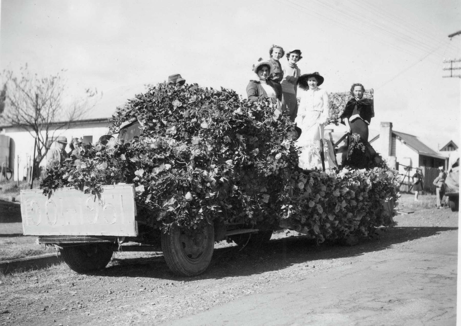
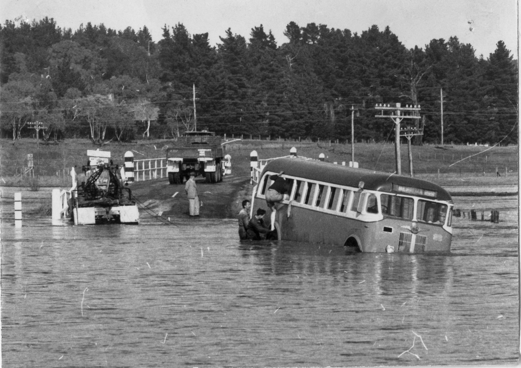
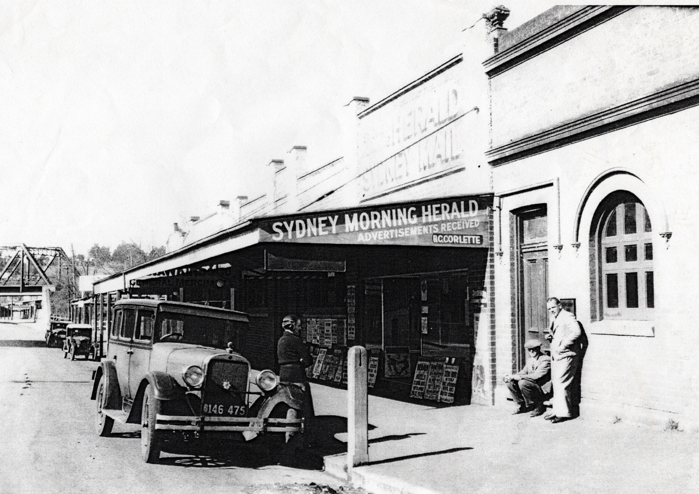
Select a thumbnail to see the larger image. Captions and credits follow the available source records.
Browse local photographs linked to Moss Vale
Explore the Society’s photographs for sale
Read the landscape
1882
Catalogue reference · display image to be added after reuse checks.
Elmwood near Moss Vale: subdivision plan
The library lists plans dated 24 January 1882, identifying roads including Throsby Road and Yarrunga Road. This is a catalogue lead, not an image of the plan; ask the library about access and compare street names with later maps.
Related places: Moss Vale
State Library of NSW, Camden County subdivision plans, Z/CP/C1/5 and Z/CP/C1/183.
Check the State Library’s copying conditions before reproduction.
Edition date unconfirmed
View the annotated extract on PDF page 125; the full original map has not yet been identified.
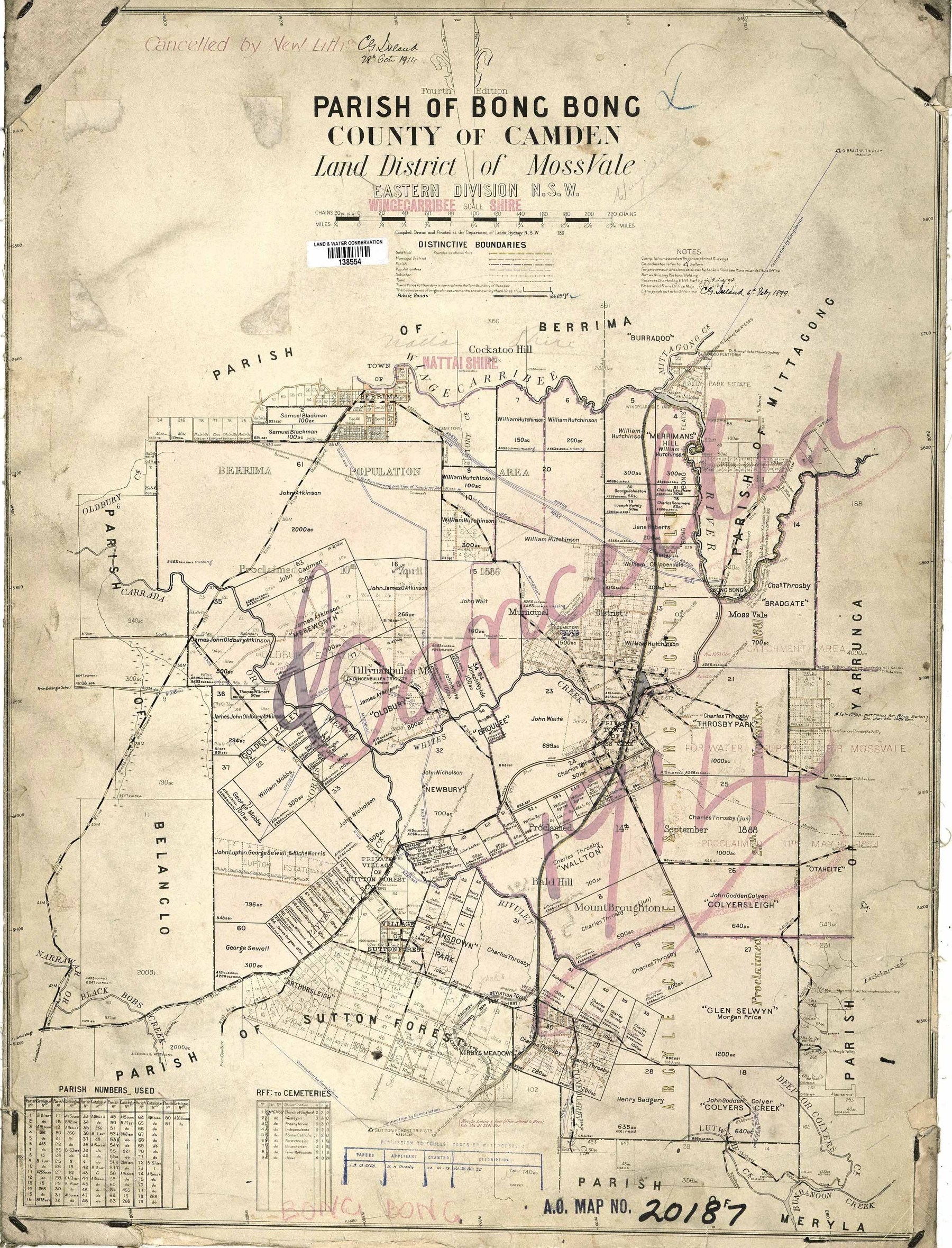
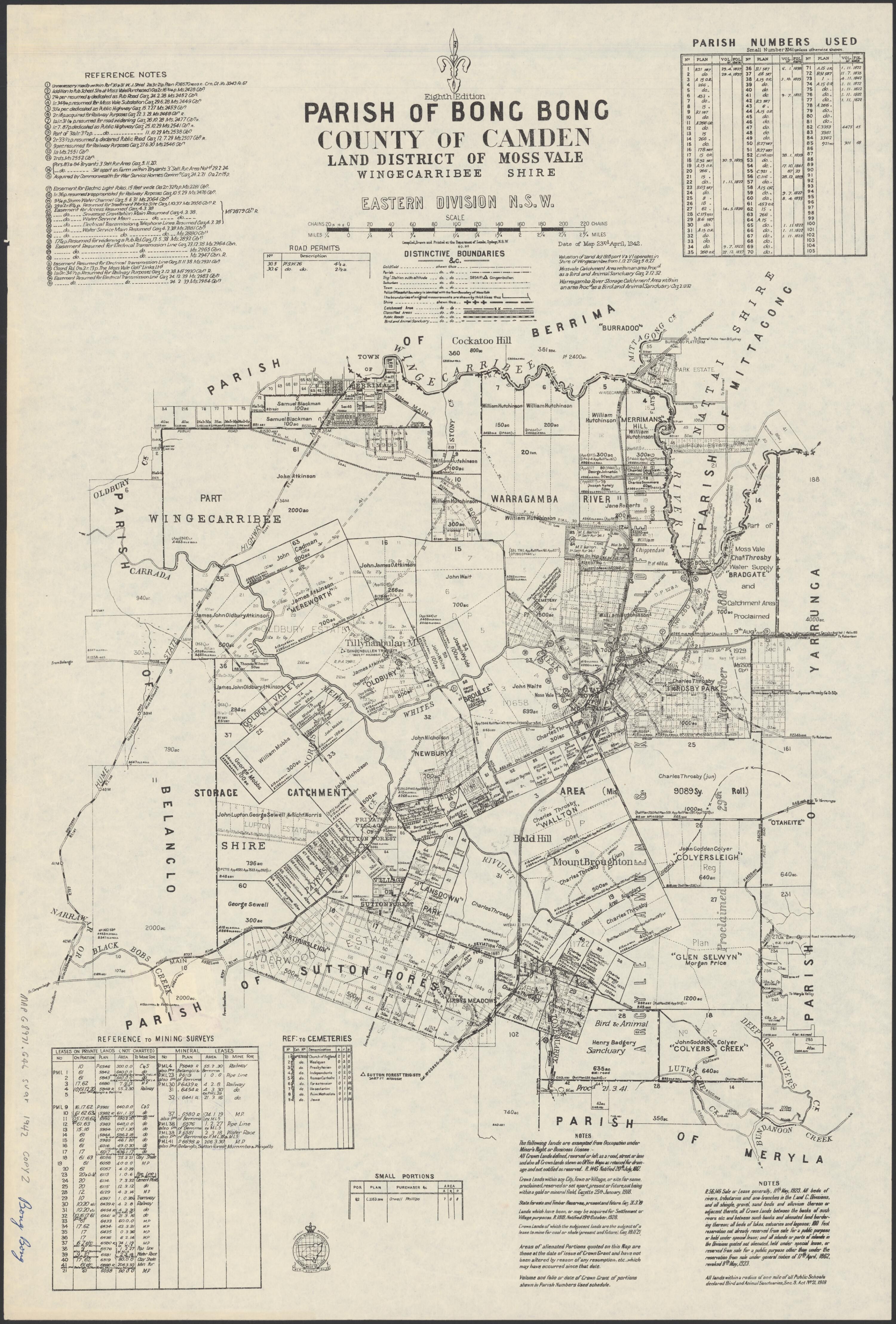
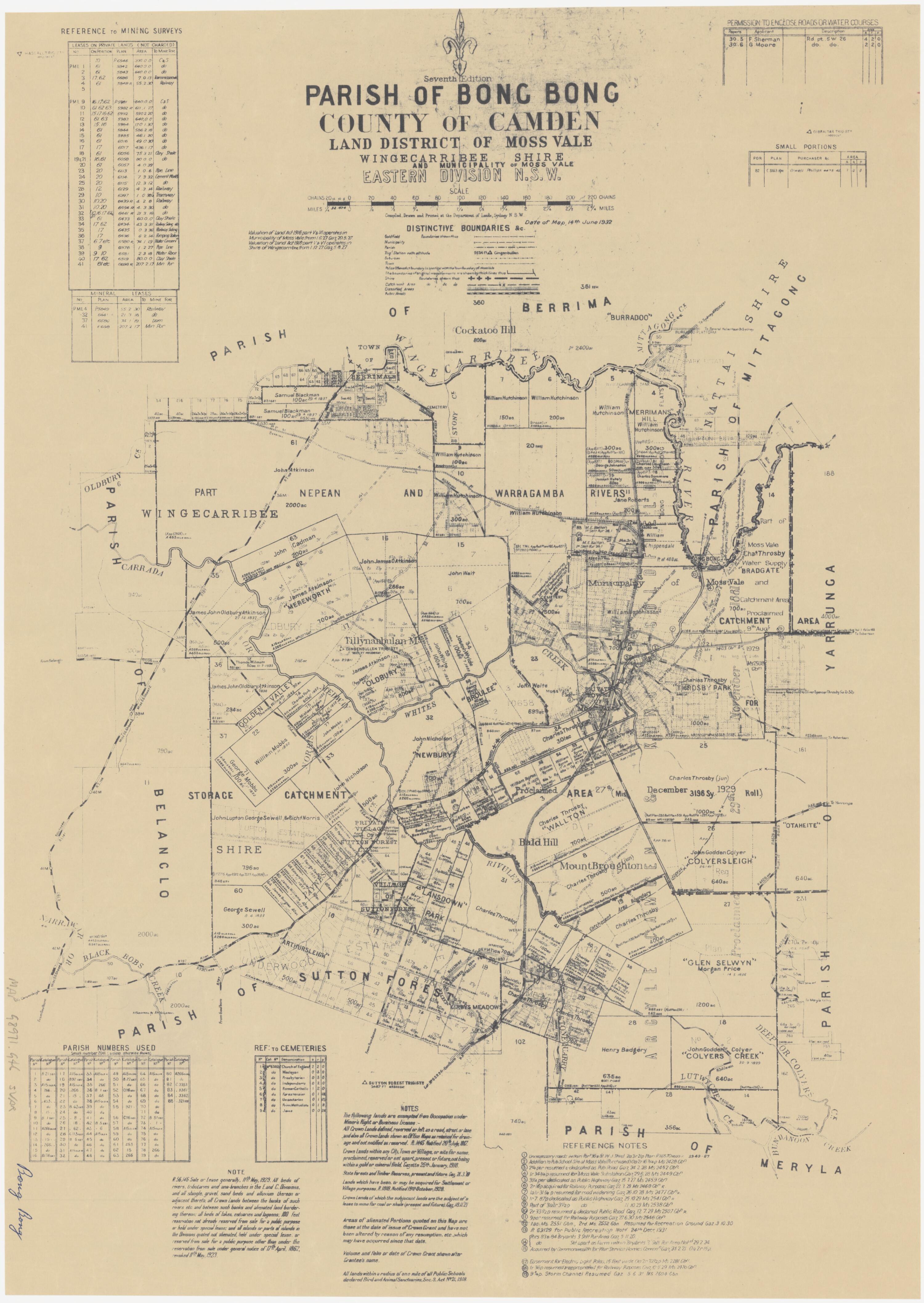
Parish map extract: Bong Bong and Austermere
The inspected extract shows the railway, Bong Bong, Moss Vale and named landholdings. The assessment overlays its study area in red and identifies the outline it attributes to William Hutchinson’s original 700-acre grant in blue. The full map and edition date need independent checking.
Related places: Bong Bong, Moss Vale, Berrima Junction
Historical Land Records Viewer map extract reproduced in Archive Heritage’s cultural heritage constraints assessment, in Wingecarribee Local Planning Panel agenda attachment, 23 July 2025, PDF page 125.
Follow the link to the assessment; check original map and assessment reuse conditions before reproducing.
Browse maps and plans linked to Moss Vale
Newsletter Mentions
Stories about Moss Vale in the Society’s newsletters.
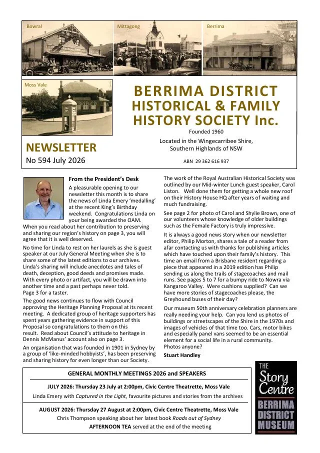
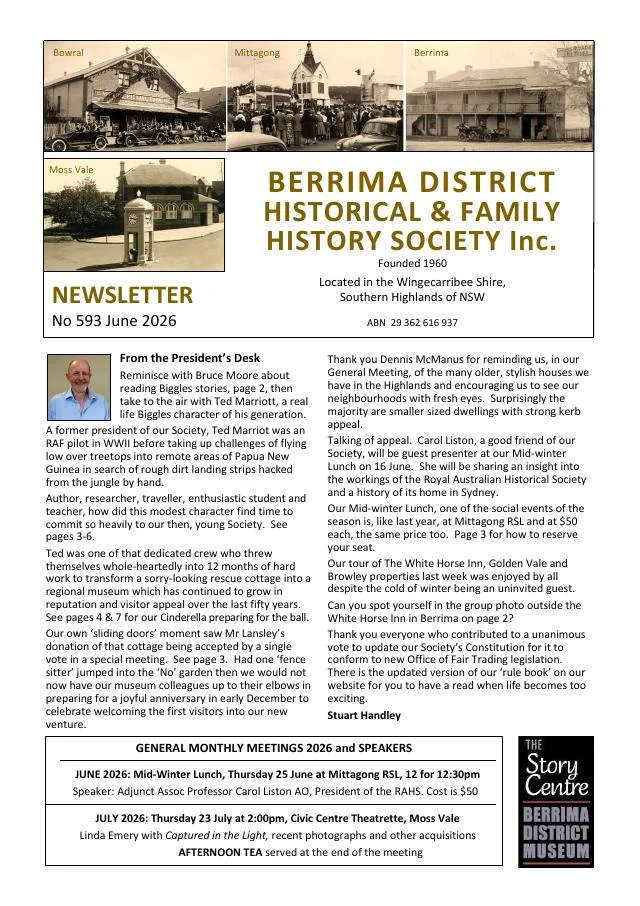
June 2026
- The history of the Society’s museum follows the Lansley cottage from Moss Vale to Berrima and its 1976 opening (pp.3-4, 7).
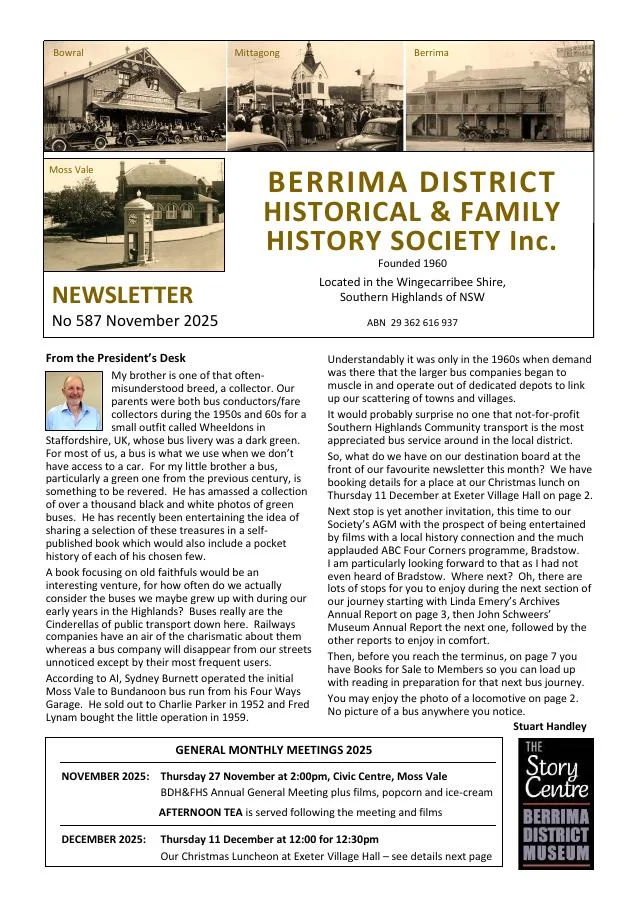
November 2025
- Annual reports document the Society’s move to Moss Vale, archives, museum, research, publications and conservation work during 2025 (pp.3-6).
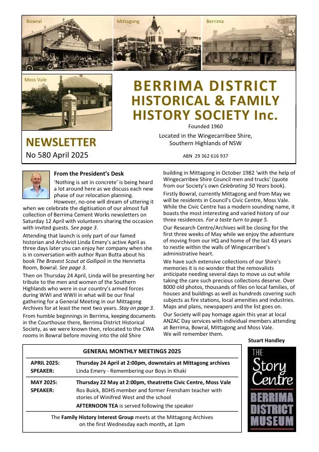
April 2025
- A history of the Moss Vale Civic Centre explains its origins as a community centre and war memorial (p.5).
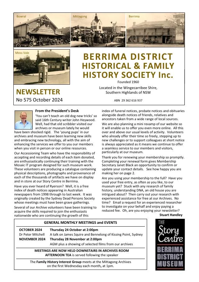
October 2024
- The account describes damage to chimneys and buildings across Robertson, Moss Vale and nearby districts (p.4-5).
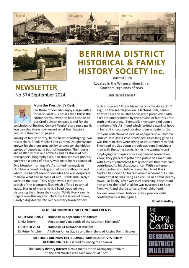
September 2024
- The Credit Union's 1972 Moss Vale office and 1980 administration building at 224/226 Argyle Street are documented (p.3-4).
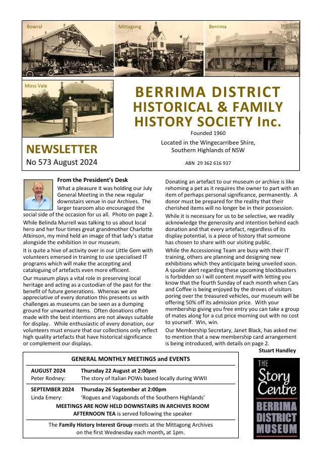
August 2024
- Ian Mackey traces the credit union founded by Southern Portland Cement employees and its early growth and move to Moss Vale (pp.4-6).
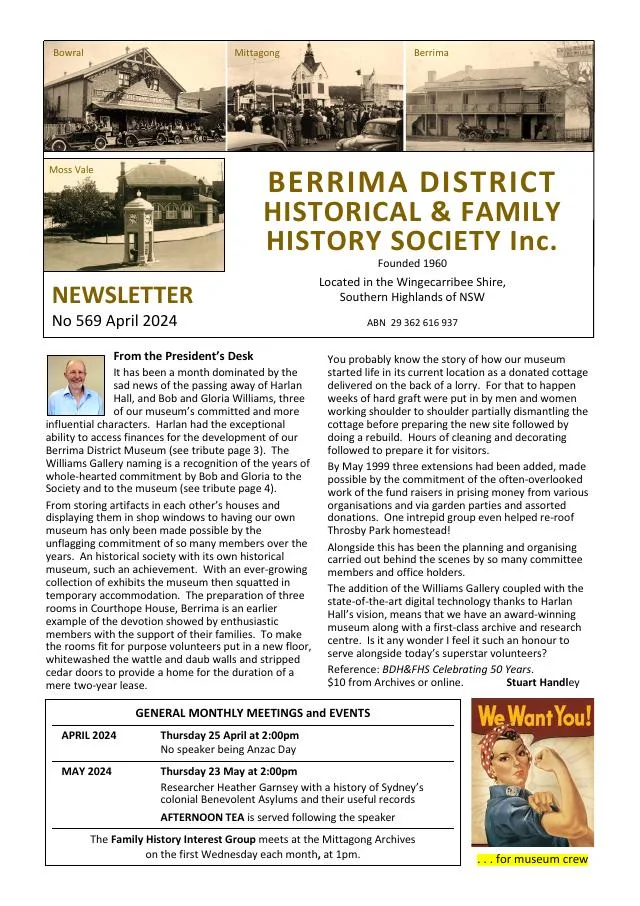
April 2024
- A profile follows writer Gwen Meredith’s radio serials The Lawsons and Blue Hills and her life in Moss Vale, Berrima and Bowral (pp.5-7).
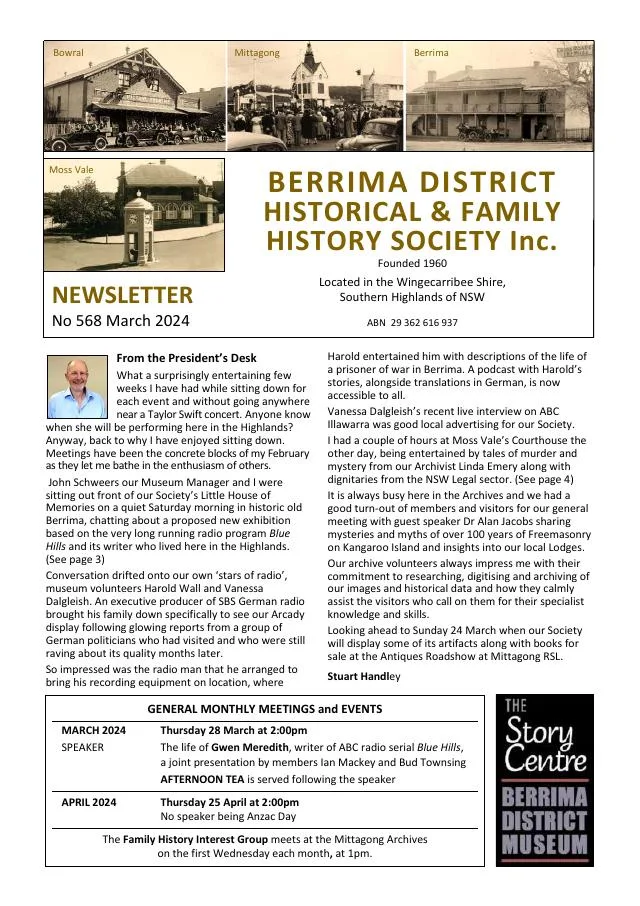
March 2024
- The centenary of Moss Vale Court House and a history of Bowral, Mittagong and Moss Vale police and court buildings feature across the issue (pp.4-6).
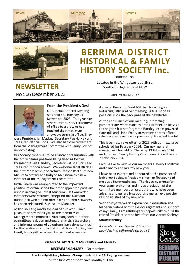
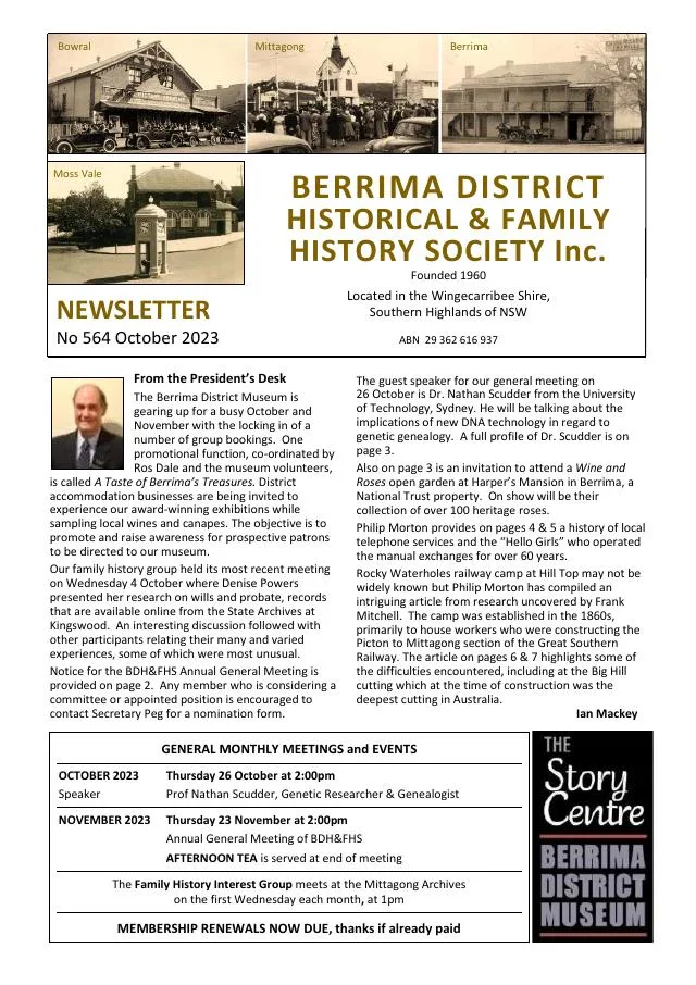
October 2023
- The local telephone history follows operators, automation and the Bowral assistance centre; read the Moss Vale correction in issue 566, page 2 (pp.4-5).
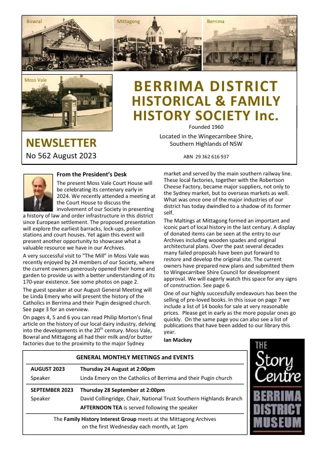
August 2023
- The dairy history traces Bowral and Moss Vale factories, the Berrima Co-operative and local milk transport (pp.4-6).
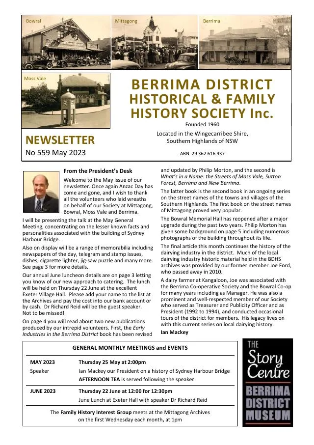
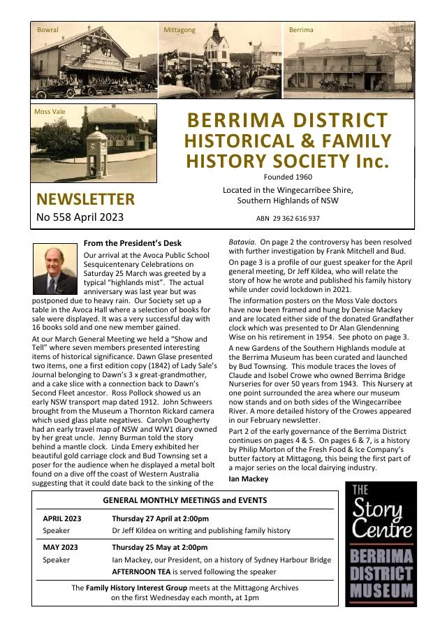
April 2023
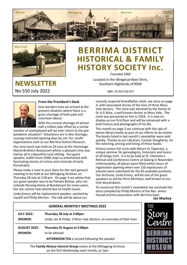
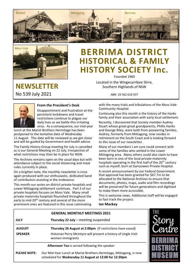
- New archive and museum display panels are arranged around the grandfather clock gifted by Moss Vale citizens to Dr Wise (p.3).
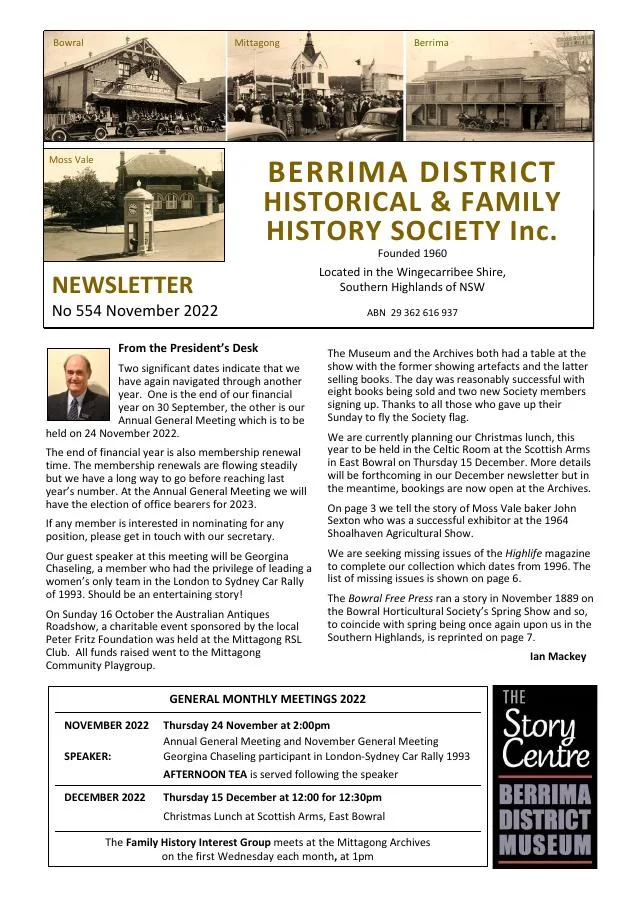
November 2022
- Georgina Chaseling introduces a talk on the London-Sydney rallies; a Moss Vale baker’s success is recalled (p.3).
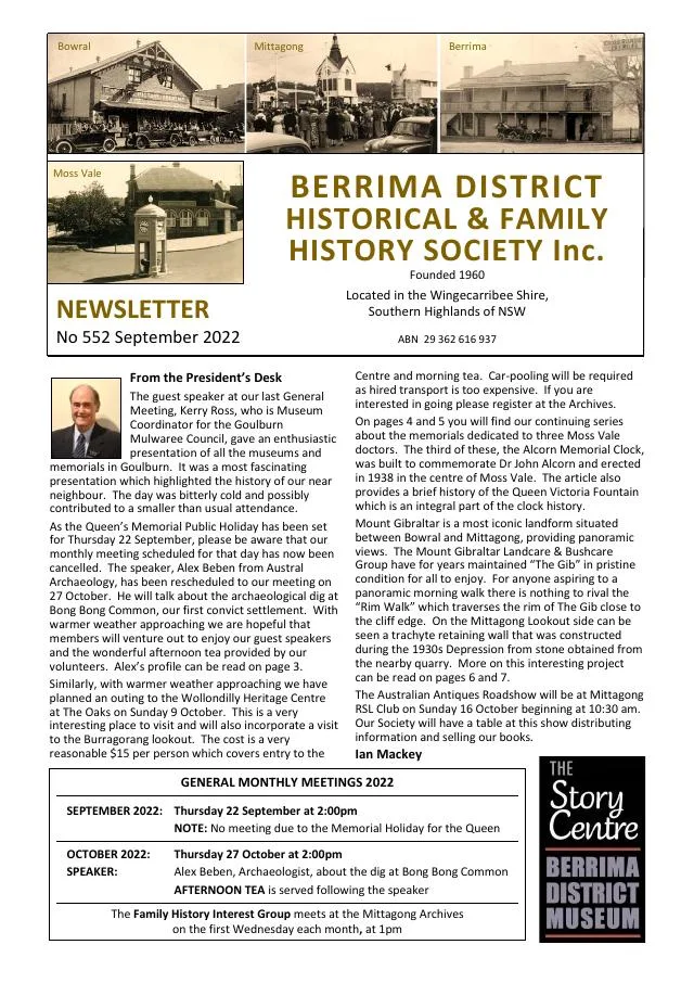
September 2022
- Linda Emery traces Dr John Macquarie Alcorn and the Moss Vale memorial clock (p.4).
March 2021
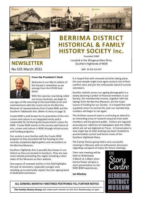
- Ian Mackey continues the de Mestre family history, including Garryowen in Moss Vale and the family’s Southern Highlands connections (pp.4-6).
February 2021
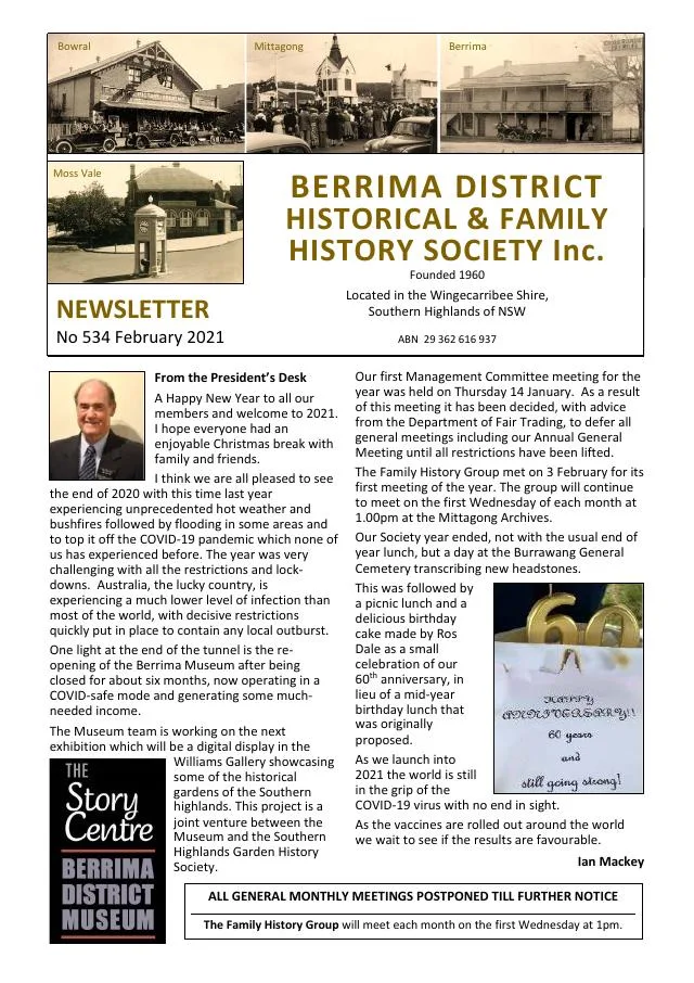
- Ian Mackey begins the story of the de Mestre family and Garryowen in Moss Vale (p.4).
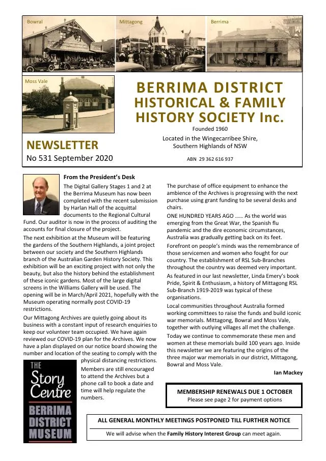
September 2020
- The opening of Bowral’s war memorial and the development of the Moss Vale memorial are recalled (p.5).
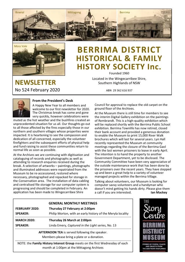
February 2020
- Linda Emery traces a Newton-annotated Principia Mathematica through its Bowral connection; another article follows Archduke Franz Ferdinand’s 1893 Moss Vale visit (pp.4-5).
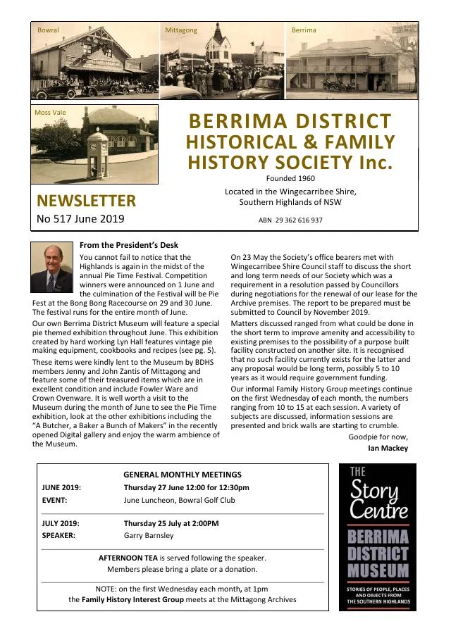
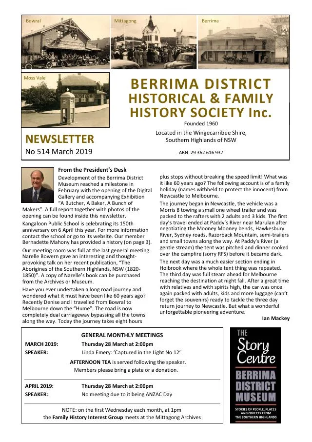
March 2019
- The issue includes memories of Moss Vale Public School, historical newspaper writing for women and Bowral’s first local soap-box derby in 1947 (pp.5-7).
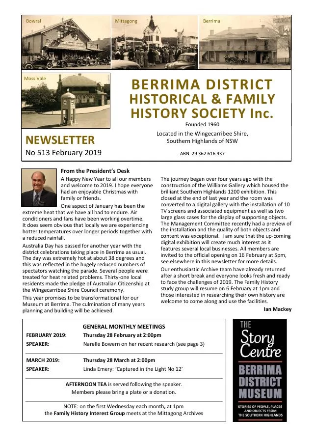
February 2019
- New library books and Society achievement awards precede the continuation of the Cullen family’s Burrawang and Moss Vale history (pp.5-7).
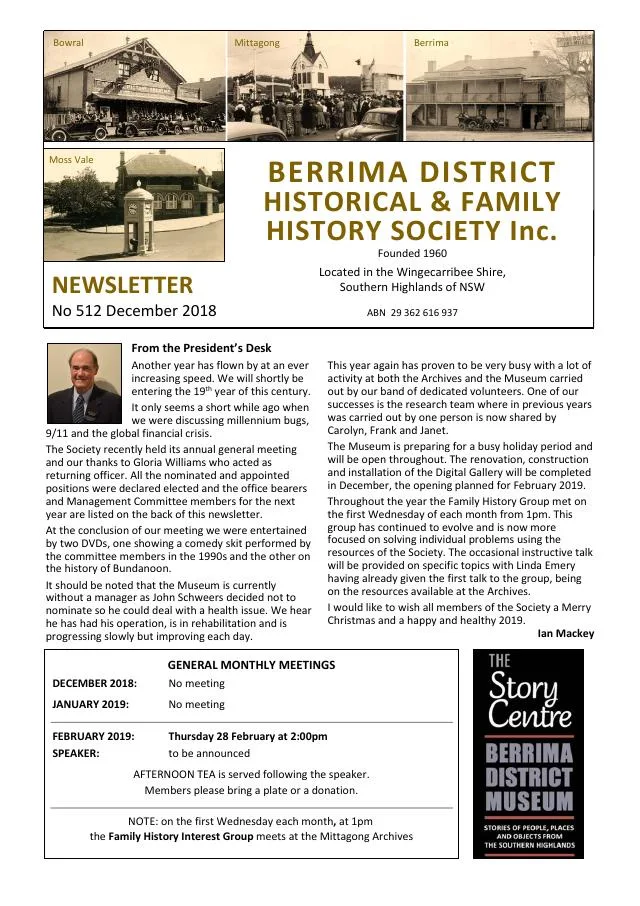
December 2018
- A local history series begins the Cullen family’s story at Burrawang and their hotel businesses at Moss Vale (pp.6-7).
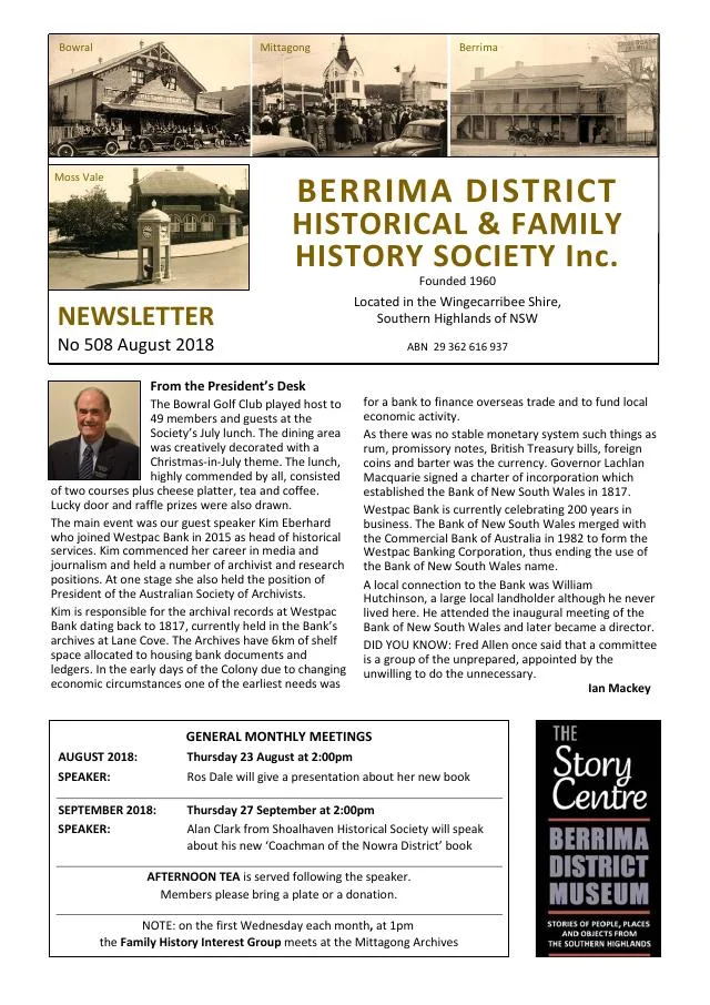
August 2018
- The Society marks 150 years of the Moss Vale-Marulan railway, which served the later villages of Exeter, Bundanoon, Penrose, Wingello and Tallong (p.3).
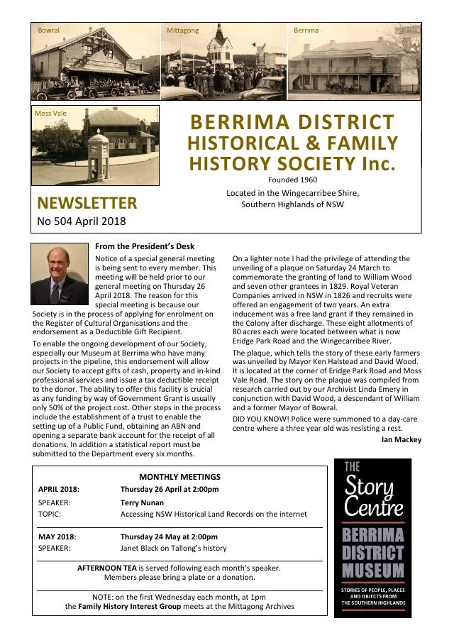
April 2018
- A family sampler’s journey and a visit to Moss Vale’s Anglican rectory precede the conclusion of the 1886 Bowral railway collision account (pp.5-7).
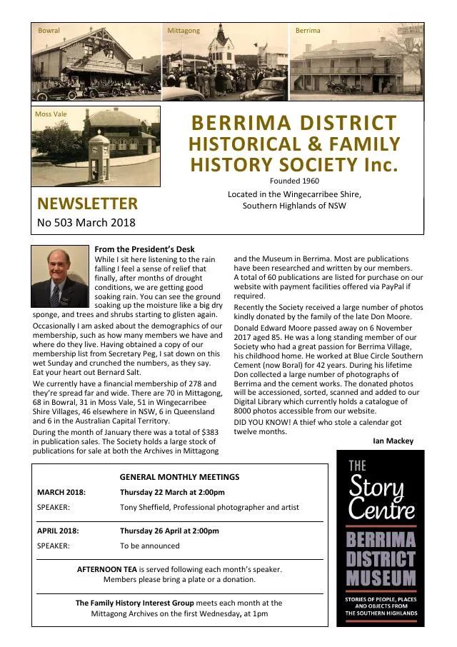
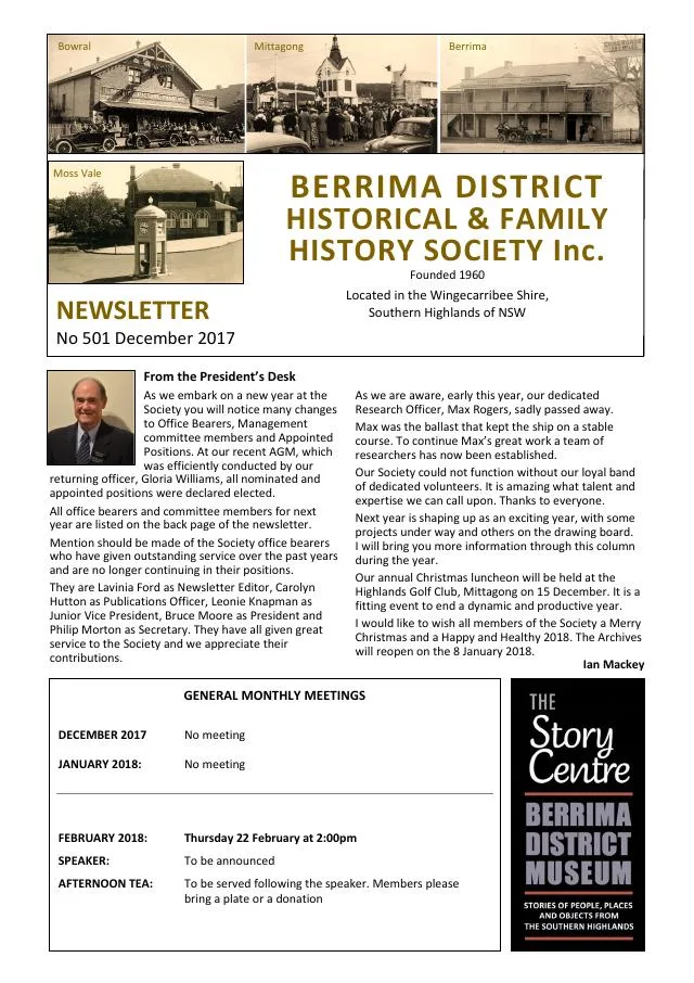
December 2017
- A 150-year railway retrospective traces the opening of Mittagong, Bowral and Moss Vale stations in 1867 (p.7).
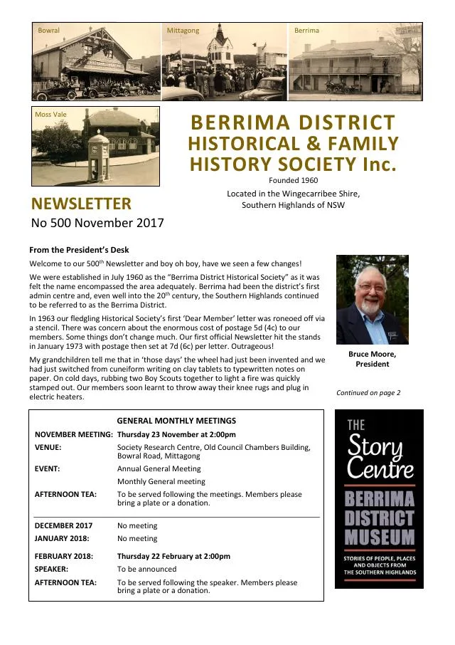
November 2017
- Philip Morton concludes his history of Moss Vale civic figure Henry William Taylor and his contested appointment as coroner (p.7).
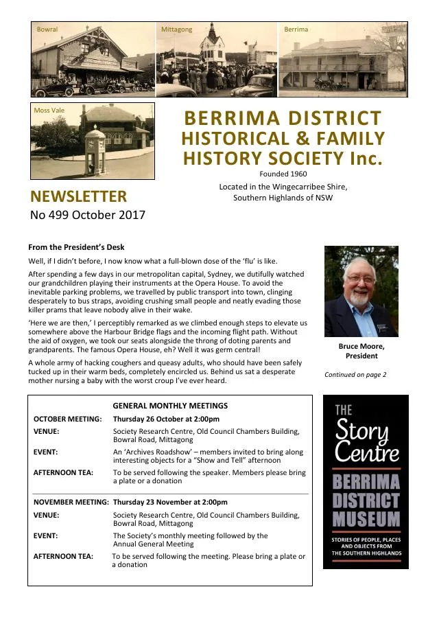
October 2017
- The second part of Henry Taylor’s story follows his public life and Moss Vale local government (pp.6-7).
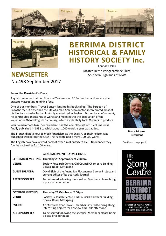
September 2017
- Philip Morton begins a history of Moss Vale civic figure Henry William Taylor (p.7).
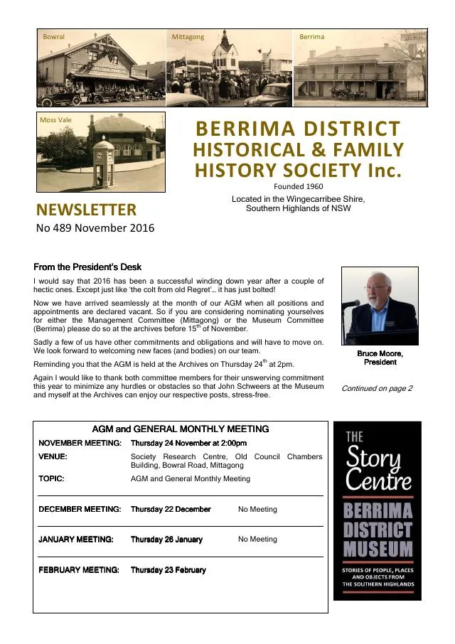
November 2016
- The Society describes a wooden water pipe unearthed at Moss Vale, with its date and purpose still uncertain (pp.4-5).
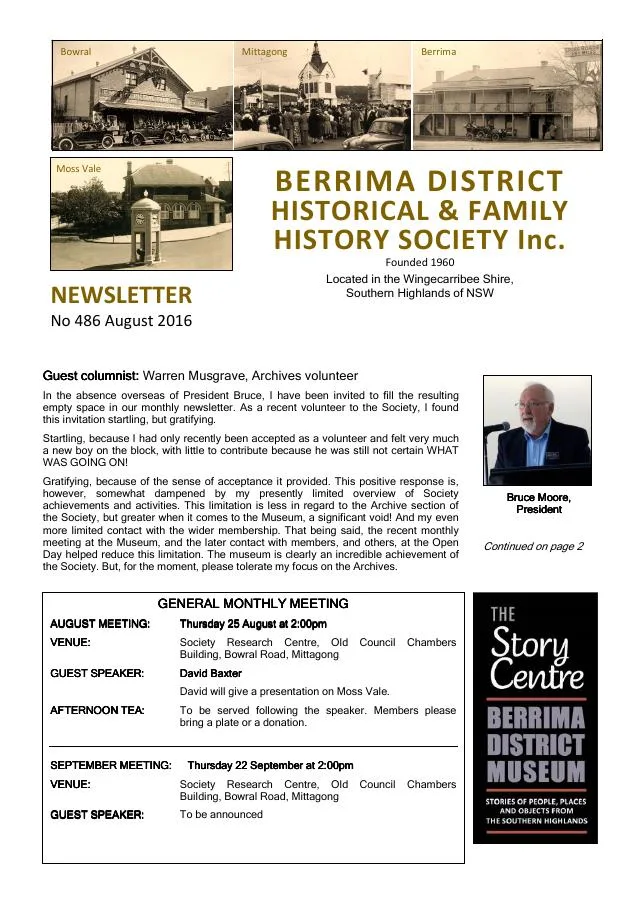
August 2016
- David Baxter’s planned Moss Vale presentation included the 1957 film This is our Town; a proposed tour followed the old railway through Hill Top and Balmoral (p.3).
- Archivist Linda Emery reports a donated 1913 proposal for a cement mill near Moss Vale and progress identifying soldiers in the Poppy Seed Project (p.4).
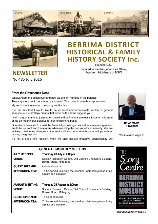
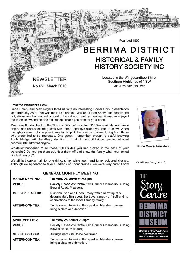
March 2016
- Early newspaper extracts describe reported bushranging and McCleery’s Moss Vale coachworks (pp.6-7).
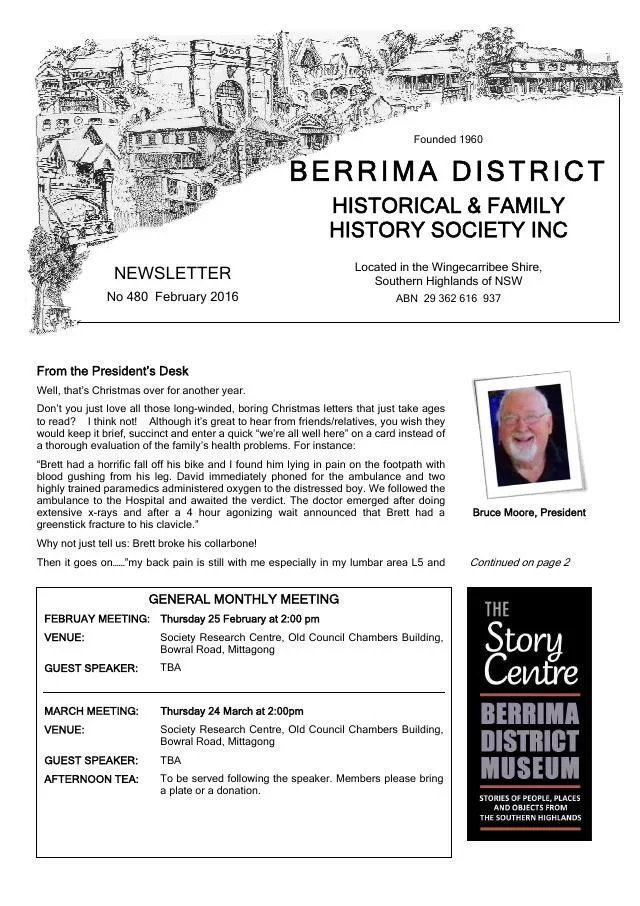
February 2016
- Historic newspaper extracts include an 1836 Berrima brewery advertisement and reports on The Mill convalescent home at Moss Vale in 1916-17 (pp.6-7).
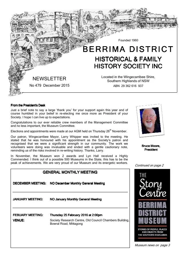
December 2015
- Historic newspaper extracts report on the town clocks at Bowral, Moss Vale and Mittagong (p.7).
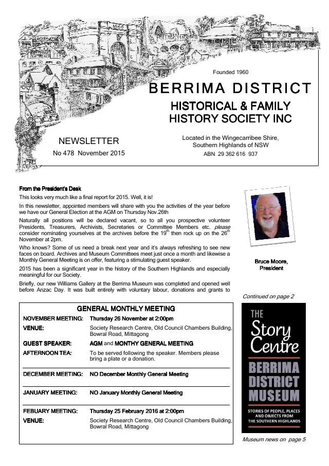
November 2015
- Annual reports describe the Williams Gallery, local research and collections including early Wombeyan Caves photographs and Moss Vale Caravan Park images (pp.2, 5-6).
December 2014
- Moss Vale Post extracts preserve local transport stories and a 1933 used-car advertisement (p.7).
November 2014
- An account of Moss Vale station describes its buildings and vice-regal facilities; another reports the 2014 Throsby Park lease (p.4).
April 2014
- Philip Morton traces the railway’s 1867 arrival at Bowral and Moss Vale and the petition for a Bowral station (p.7).
August 2013
- Society members describe historical tours of Mittagong and of Bowral and Moss Vale churches and cemeteries (p.3).
April 2013
- Linda Emery traces Hazelton in Moss Vale from the 1882 Bull’s Hill subdivision through its use as a boarding house, girls’ school and later family home (p.3).
February 2013
- A Moss Vale Fleeton family photograph and a separate unidentified Bowral portrait offer family-history leads (p.3).
April 2012
- Former pupils Laurel Ingate and Narelle Bowern recall Koyong Day and Boarding School for Girls in Moss Vale and introduce their school history (p.4).
September 2011
- The issue introduces research into Moss Vale’s doctors, nurses and hospitals (p.4).
April 2011
- The Society reports its historical display at the 125th Moss Vale Show, including photographs, show certificates and newspaper clippings (p.6).
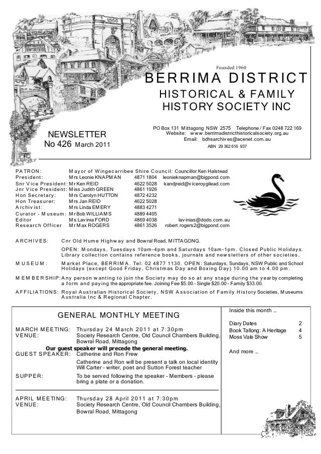
March 2011
- Philip Morton traces the district show’s establishment and the choice, development and eventual purchase of the Moss Vale showground (pp.5-6).
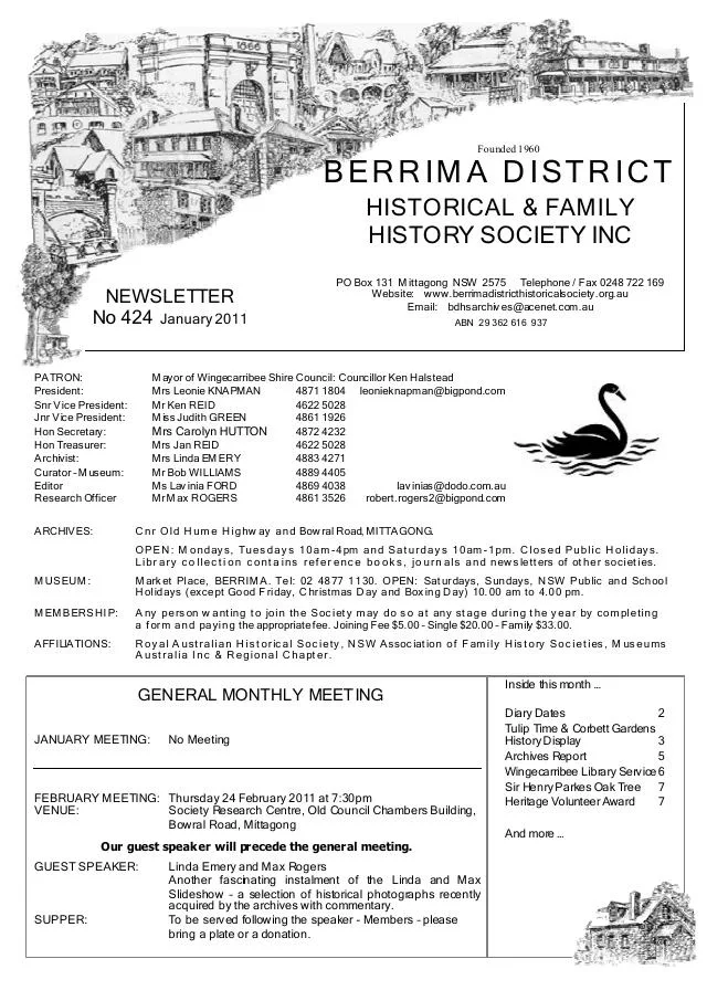
January 2011
- An overview traces libraries at the Schools of Arts in Moss Vale, Mittagong and Bowral and their later integration into the Wingecarribee Library Service (p.6).
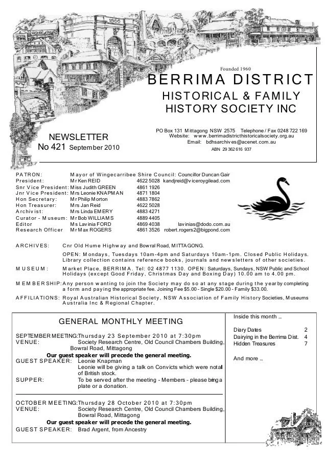
September 2010
- The account describes the Berrima Co-operative Rural Society, its Bowral factory and acquisition of local milk processing, and the Dairy Farmers factory at Moss Vale (pp.5-6).
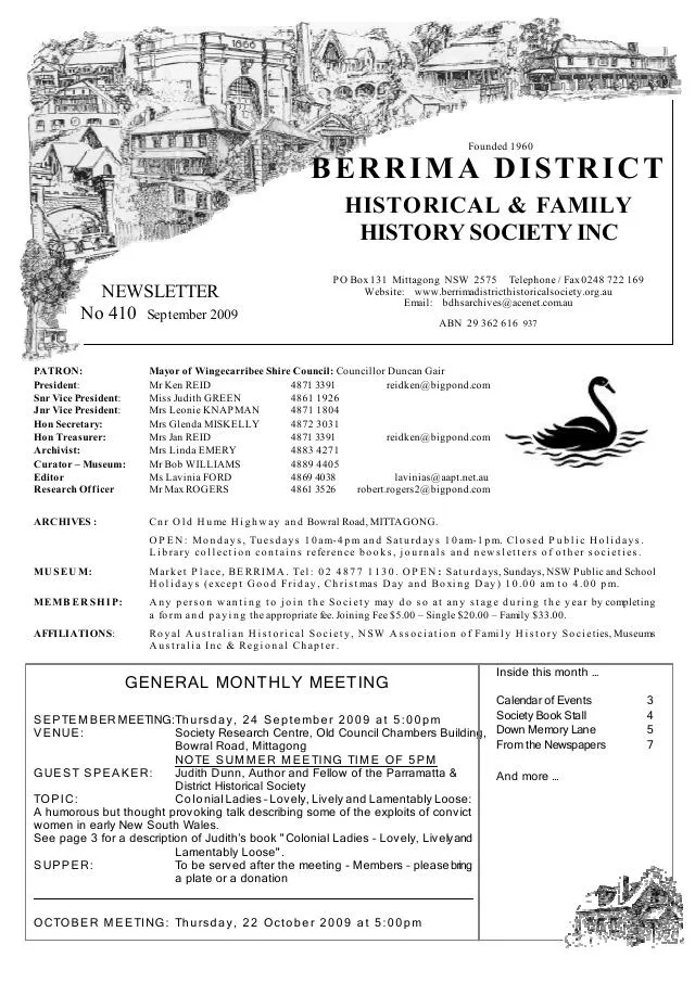
September 2009
- John McColgan remembers Moss Vale entertainment and his family’s grocery shop, and describes Mittagong’s Bowral Road in the 1930s (pp.5-7).
Books in our Library
These catalogue titles mention Moss Vale. Check the linked catalogue and ask the Society about access.
- 100 Years Moss Vale Golf Club - 70 Years The Dormie House - catalogue p. 1
- 458 Argyle Street, Moss Vale. Archival Record. Lot 1 DP 194654 Argyle Street, Moss Vale. - catalogue p. 2
- 60th Anniversary Unanderra-Moss Vale Railway. 1932-1992. (1992) - catalogue p. 2
- 75 Years of the Mountain Railway: 75th Anniversary of the opening of the Unanderra-Moss Vale link railway line and the Rob (2007) - catalogue p. 2
- 75th Anniversary Souvenir History of the Moss Vale Bowling Club (1977) - catalogue p. 2
Find Society publications mentioning Moss Vale. The list is from October 2026; contact the Society about current availability.
Further research
There is more to discover about Moss Vale in the Society’s archives and in other collections. A catalogue entry may lead to material that has not been digitised or needs to be consulted in person.
- Ask the Society’s research centre about local files, photographs and records.
- State Library of NSW collections - search photographs, maps, manuscripts and local publications.
- NSW Historical Land Records Viewer - search historical land records, plans and parish maps by place or parcel.
Sources already connected with this place include:
- Heritage NSW: Mount Murray Railway Station group, Moss Vale history
- Wingecarribee Public Library Archives Collection
- State Library of NSW: Moss Vale subdivision plan list
- National Library of Australia: Oliver S. Throsby estate suburban lots, Moss Vale
The Society can undertake professional research at $40 per hour. Contact the research centre to discuss your question and request a quote.