Discover Bullio
A rural locality on the road west from Mittagong, linked to pastoral country, a hand-cut road tunnel and the journey to Wombeyan Caves.
Explore nearby and connected places: High Range · Woodlands · Wombeyan Caves · Mittagong · Goodmans Ford
Bullio through time
The Wombeyan road and Bullio
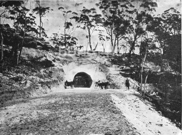
Bullio lies along the Wombeyan Caves Road west of Mittagong and High Range. The Wingecarribee heritage study identifies Bullio station with the district’s sheep-grazing history and notes early roadworks, including buttressing and a tunnel east of the station. Station here means a pastoral property, rather than a railway station.[6]
A history of Wombeyan Caves published in the journal Helictite dates the improved road between Bowral and the caves to 1899 and suggests that the sandstone road tunnel was made at about the same time. Council’s heritage study dates the tunnel to 1900. The difference is a reminder to check original road records before claiming an exact construction date.[6][7]
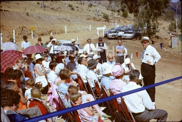
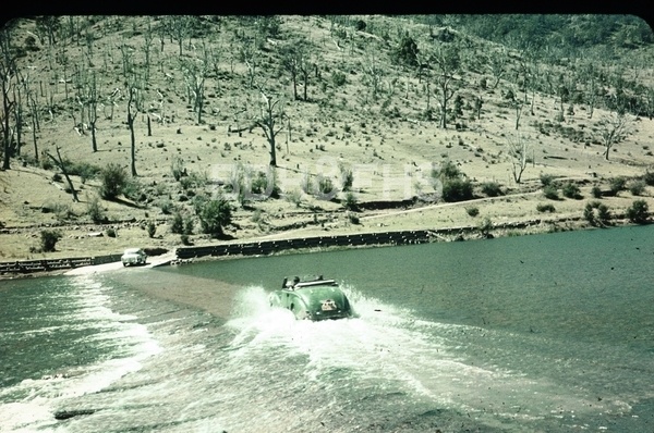
The early twentieth-century guide With Swag and Billy recommended that travellers make inquiries with Mr Goodfellow near Bullio station before arriving, an insight into the practical arrangements for journeys through this rural country. The State Library of NSW holds 1965 photographs including the Bullio road tunnel and Goodman’s Ford, which may help trace changes to the route.[8]
Community and later history
A brief newspaper notice in November 1924 credited the local progress association, working through Mr Morton, with securing a new Bullio school that had opened in June. School registers and education files would help identify the building, its pupils and the length of its operation.[10]
The people who worked this country carried stories far beyond the district. Frank Ernest Caseley served with the 12th Australian Light Horse in the First World War, including at Beersheba. After returning to Australia, he worked by 1922 at the Badgery family property Wanganderry at Bullio. The Society’s account, drawing on research by Linda Emery and recollections from his son Bruce, follows his later involvement in the Mittagong RSL and records family possessions that became part of a museum exhibition.[11]
Bullio Cave at Wombeyan is a separate feature from the locality. Research into Bullio’s families, school and land records will add depth to this starting point. Roads and river crossings are subject to changing conditions, so consult current advice before travelling.
Related historical names and search terms: Bullio station, Bullio tunnel. These may name a former settlement, institution or nearby feature; check the context in the sources.
Browse local photographs linked to Bullio
Explore the Society’s photographs for sale
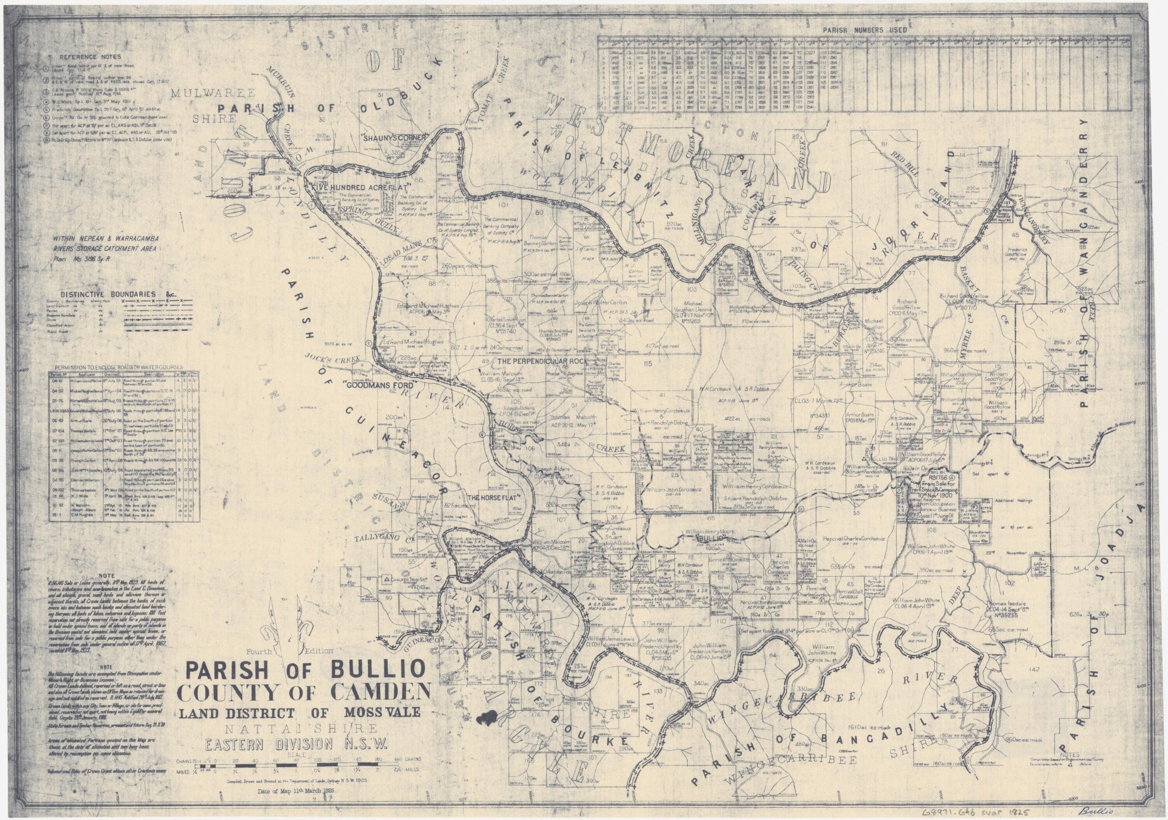
Browse maps and plans linked to Bullio
Newsletter Mentions
Stories about Bullio in the Society’s newsletters.
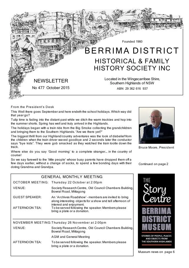
October 2015
- Michele Woods recounts Light Horse veteran Frank Caseley’s wartime service and later connections to Bullio, Welby and Mittagong (p.6).
Further research
There is more to discover about Bullio in the Society’s archives and in other collections. A catalogue entry may lead to material that has not been digitised or needs to be consulted in person.
- Ask the Society’s research centre about local files, photographs and records.
- State Library of NSW collections - search photographs, maps, manuscripts and local publications.
- NSW Historical Land Records Viewer - search historical land records, plans and parish maps by place or parcel.
Sources already connected with this place include:
- Wingecarribee Heritage Study, 1991: pastoral expansion and east-west roads
- State Library of NSW: Nepean Dam and Wombeyan Caves photographs, 1965
- Newspaper notice, 1 November 1924: Bullio school
The Society can undertake professional research at $40 per hour. Contact the research centre to discuss your question and request a quote.