Discover Calwalla
On the line between Moss Vale and the Illawarra, Calwalla once had its own station; the railway and nearby reservoir are part of the locality’s story.
Explore nearby and connected places: Moss Vale · Glenquarry · Burrawang · Robertson
Calwalla through time
A station and a planned village
Calwalla’s story runs along the railway between the Southern Highlands and the Illawarra. When the Unanderra-Moss Vale line opened on 20 August 1932, Calwalla had a station of its own. It served the locality until February 1976, connecting this rural landscape to a much wider network of people and goods.[3]
A few months after the line opened, a December 1932 Government Gazette notice set aside just over 21 acres beside the station lands and Sheepwash Road for the village of Calwalla. The notice preserves a moment when a railway stop and a village site were taking shape together.[8]
The railway and reservoir landscape
The station closed, but the railway remained part of Calwalla’s landscape: a 2025 train notice still identifies the location on the route. Water infrastructure also shaped the district. Parliamentary records identify land acquired at Calwalla for the Wingecarribee Reservoir in 1972.[5]
A 2017 transport assessment describes the line as a connection between Moss Vale and Unanderra passing the former village stations at Calwalla and Burrawang. It records the end of normal weekday passenger services on the wider line in 1985, after Calwalla station had closed. Later heritage trains and freight use tell a different story from that of the former local station; old timetables can help identify which services actually stopped here.[6]
Today Calwalla remains a railway operating location. A passing loop allows trains to cross or pass on the largely single-track route, a reminder that the railway’s working life continued after the passenger station closed. The corridor is operational infrastructure and should be viewed from lawful public places.[7]
Explore the Society’s photographs for sale
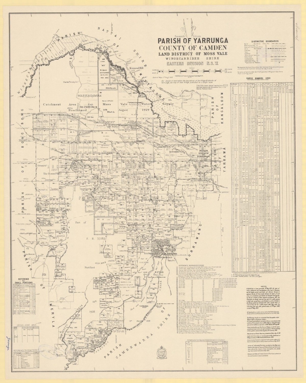
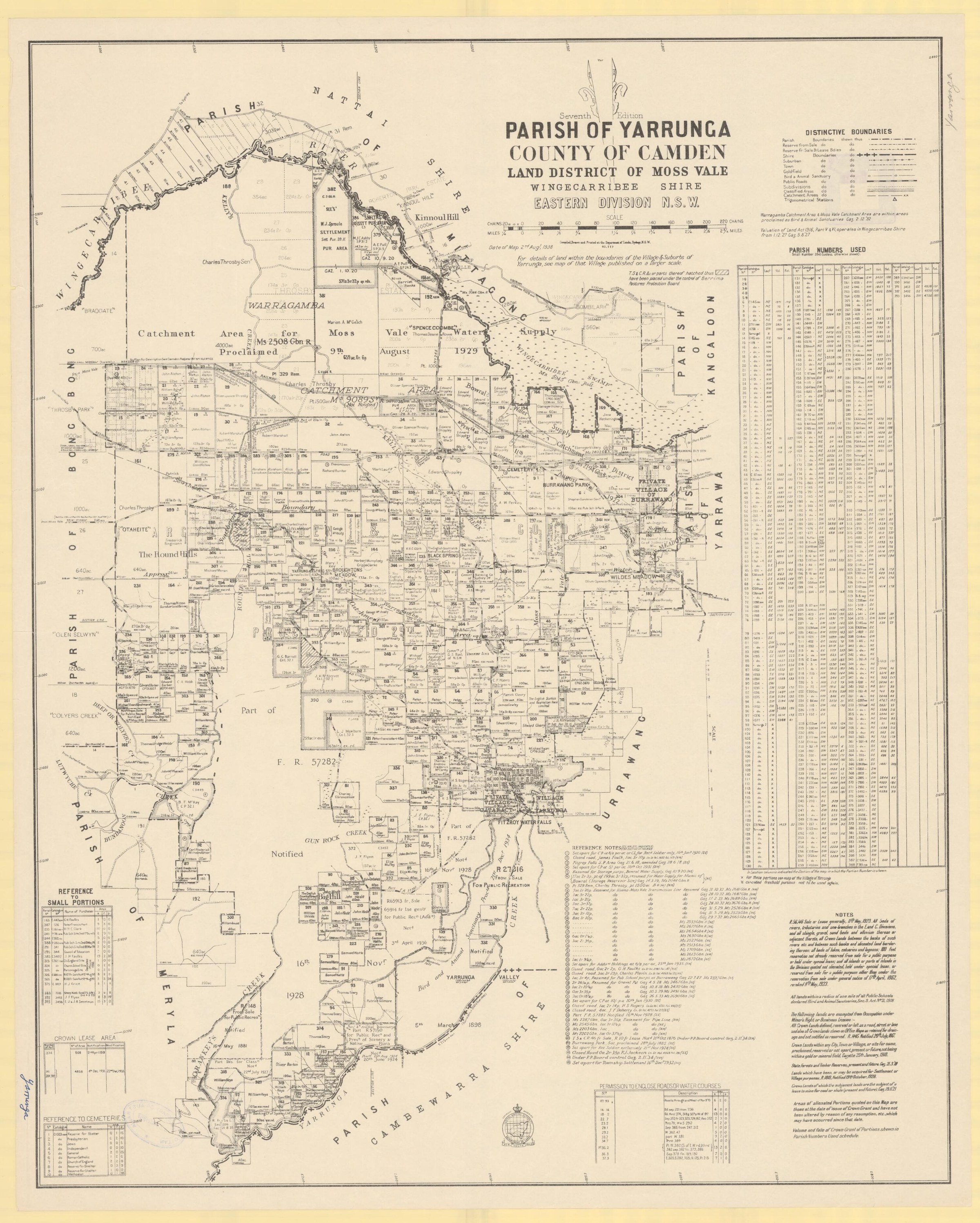
Browse maps and plans linked to Calwalla
Explore the newsletters
Search newsletter contents for Calwalla. You can also try nearby places, former names and other spellings.
Further research
There is more to discover about Calwalla in the Society’s archives and in other collections. A catalogue entry may lead to material that has not been digitised or needs to be consulted in person.
- Ask the Society’s research centre about local files, photographs and records.
- State Library of NSW collections - search photographs, maps, manuscripts and local publications.
- NSW Historical Land Records Viewer - search historical land records, plans and parish maps by place or parcel.
Sources already connected with this place include:
- NSW parliamentary sessional papers, 1971-72: Calwalla reservoir land
- Berrima project transport assessment, 2017: Moss Vale-Unanderra railway and former stations
- NSW Government Gazette, 16 December 1932: village of Calwalla
The Society can undertake professional research at $40 per hour. Contact the research centre to discuss your question and request a quote.