Discover Robertson
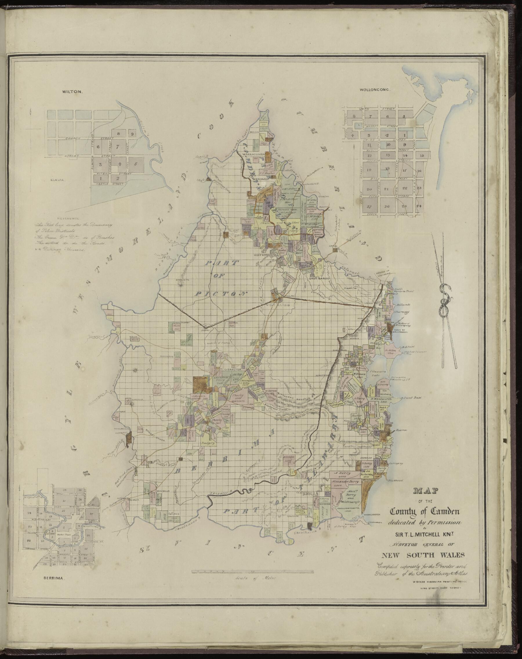
Robertson grew amid the farms carved from the Yarrawa Brush. Its streets, rich agricultural country and nearby falls tell connected stories of work and discovery.
The 2021 Census counted 1,476 people in the ABS urban locality of Robertson.[28]

Explore nearby and connected places: Moss Vale · Burrawang · Wildes Meadow · Kangaloon
Robertson through time
Country, clearing and a new town
The Robertson area is part of a much longer Aboriginal history. Wingecarribee Council’s 2024 place plan describes the 1861 land legislation and subsequent clearing as forcing the local First Nations community from traditional lands. This short account follows the Council source and requires local Aboriginal community review; the later town and parish names do not define Country.[15]
The Council’s heritage material identifies Robertson as a government town established in 1865. Its development is tied to the opening of the Yarrawa Brush in the 1860s: rainforest country around Robertson, Burrawang and Wilde’s Meadow was cleared and divided for farming, and Moss Vale became the railhead through which produce and freight travelled to Sydney. This relationship is important: Robertson’s history includes both the town and its agricultural hinterland, not simply its main street.[10][15]
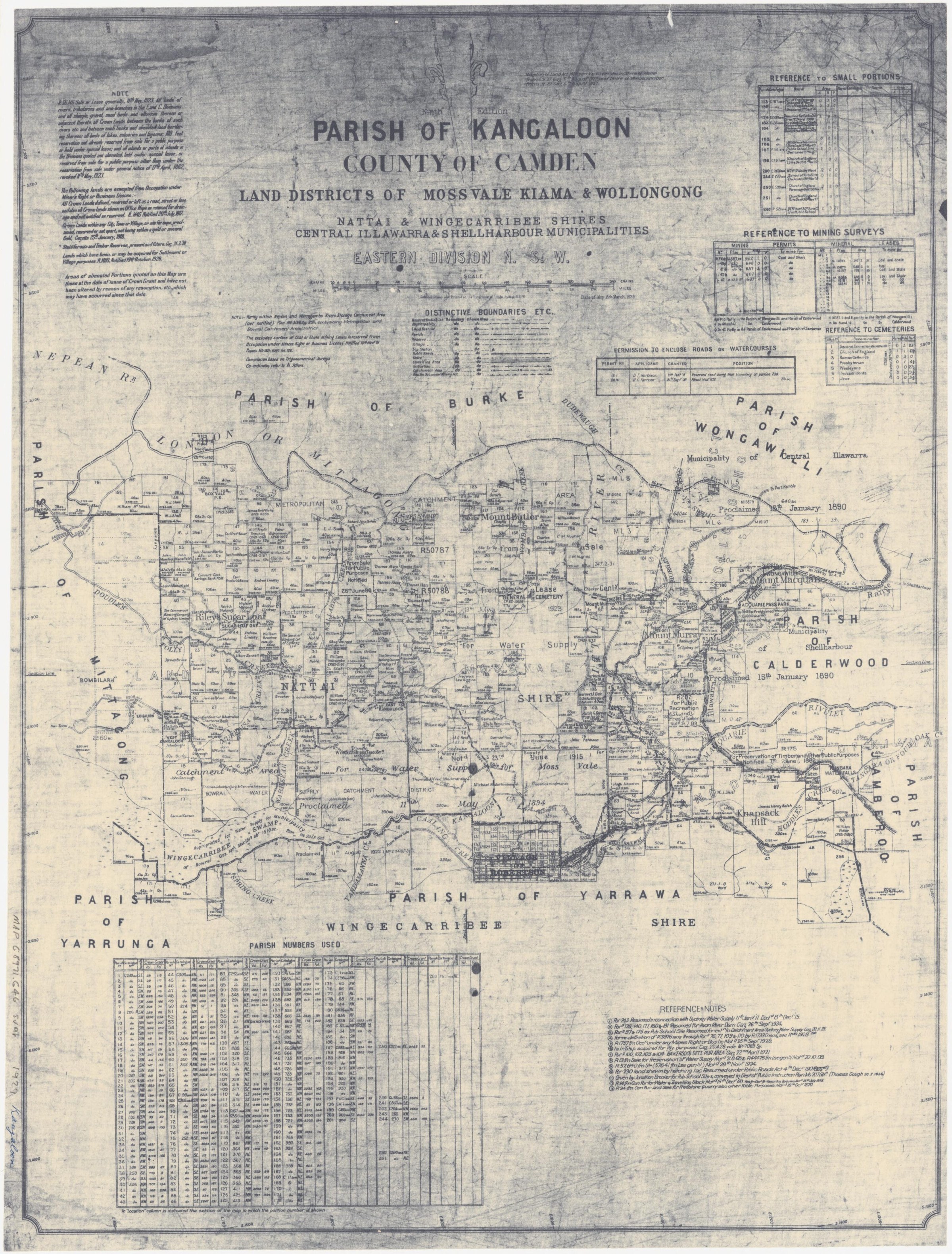
A local community history dates the reservation of a square mile for a town to 2 May 1862, at a place surveyor Robert Hoddle called Three Creeks. It says the early town was called Yarrawa before the Robertson name was adopted; the street layout was approved and the first blocks sold in 1865. Philip Morton’s Society history describes selectors petitioning for the name Robertson and the village growing from a public school in 1872 to a community with homes, churches and a store by 1876. By 1887 it had hotels, a post office, police station, courthouse and a range of trades.[16][27]
The 1991 Wingecarribee heritage study records that potatoes became dominant from the 1860s in the Robertson, Kangaloon and Bundanoon districts. It points to late-Victorian dry-stone dykes as evidence of small potato fields around Robertson, and notes the crop failures of the 1890s, after which turnips were planted commercially. These details are useful historical context, not proof that a particular farm grew a particular crop.[10]
Farmers, shops and services
Newspaper correspondence from Pheasant Ground in 1896 shows how surrounding farmers relied on Robertson for supplies after the coaching service to Kiama had ceased. The correspondent described a small butter factory with two separators, a school, potato and hay crops, and dissatisfaction with roads. These reports record one correspondent’s observations and proposals, including a suggested cooperative store; they do not establish that the store was formed.[22]
Family research can reveal workers as well as landowners. A Society article follows Arthur and Agnes Pritchett, who lived near Robertson while Arthur managed a cooperative butter factory before the family moved north.[14]
The former Commercial Banking Company of Sydney branch is one thread in Robertson’s commercial history. Linda Emery’s Society article describes the building and the Cordeaux family’s connection with the bank, which closed its Robertson branch in 1936.[13]
Robertson’s public services grew alongside its farms and businesses. The Society’s history records a mounted constable at the police station in 1881, Petty Sessions from 1888, and a courthouse with a residence built in 1891. A rear paddock was notified as a police reserve in 1900.[25]
The Society’s Missingham family history connects many strands of district life. John Missingham senior was an orchardist, timber getter and sawmill owner who also served on the shire council, became a Carrington Falls trustee in 1909 and led the Robertson Show Society for ten years. His family’s story links work in the brush with the community institutions and places around Robertson.[26]
The State Library lists Robertson auction plans from November and December 1924, including Crown town lots (Z/TP/R8/4). The list records street boundaries and is a starting point for inspecting the plans and tracing subsequent sales.[17]
Falls, reserves and visitors
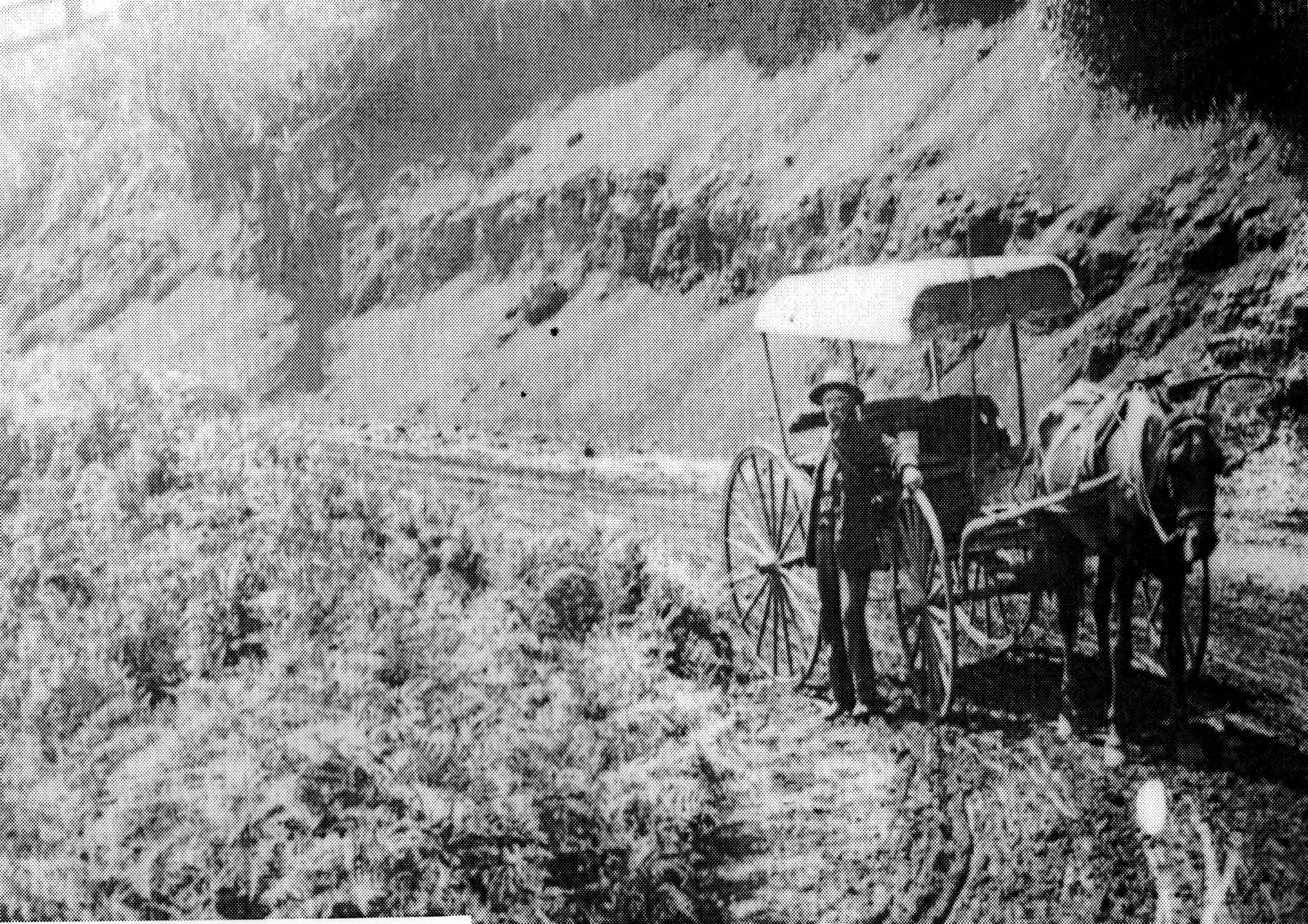
Carrington Falls was a longstanding gathering place for Robertson families and visitors. Philip Morton traces an 1888 newspaper proposal to name the falls for Governor Carrington and finds the name in use by 1891, while noting that an official naming notice has not been located. His account describes local trustees maintaining paths, fences and picnic facilities, including generations of the Missingham and Vandenbergh families. It records the transfer of the falls and surrounding land to National Parks management in 1986 and later changes to the remaining reserve.[19][20]
Belmore Falls was another attraction reached from Robertson. Philip Morton’s account describes the 1883 reservation for public recreation and timber preservation, the 1887 dedication of Barrengarry Park and later roads, lookouts and picnic shelters. It quotes a 1932 newspaper report of hikers arriving by train at Robertson and visiting the falls, and records the reserve’s 1969 incorporation into Morton National Park.[21]
The 1961 earthquake and the records that remain
The 22 May 1961 earthquake left visible marks on Robertson. The Society’s account draws on contemporary newspapers and local recollections describing fallen chimneys, damage to the school and post office, and a landslide that blocked Macquarie Pass. The article also links to local community research and points to disaster files in the Society’s archives.[18]
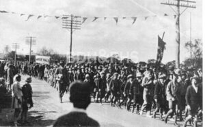
The Library Archives Collection holds burial registers for Burrawang/Robertson and preserves local newspapers including the Robertson Advocate on microfilm. A preserved Society caption for a Robertson-to-Bowral mail image is another collection lead. Together, these sources can help trace people, transport, farms and public life, provided dates and identities are checked against the original material.[11]
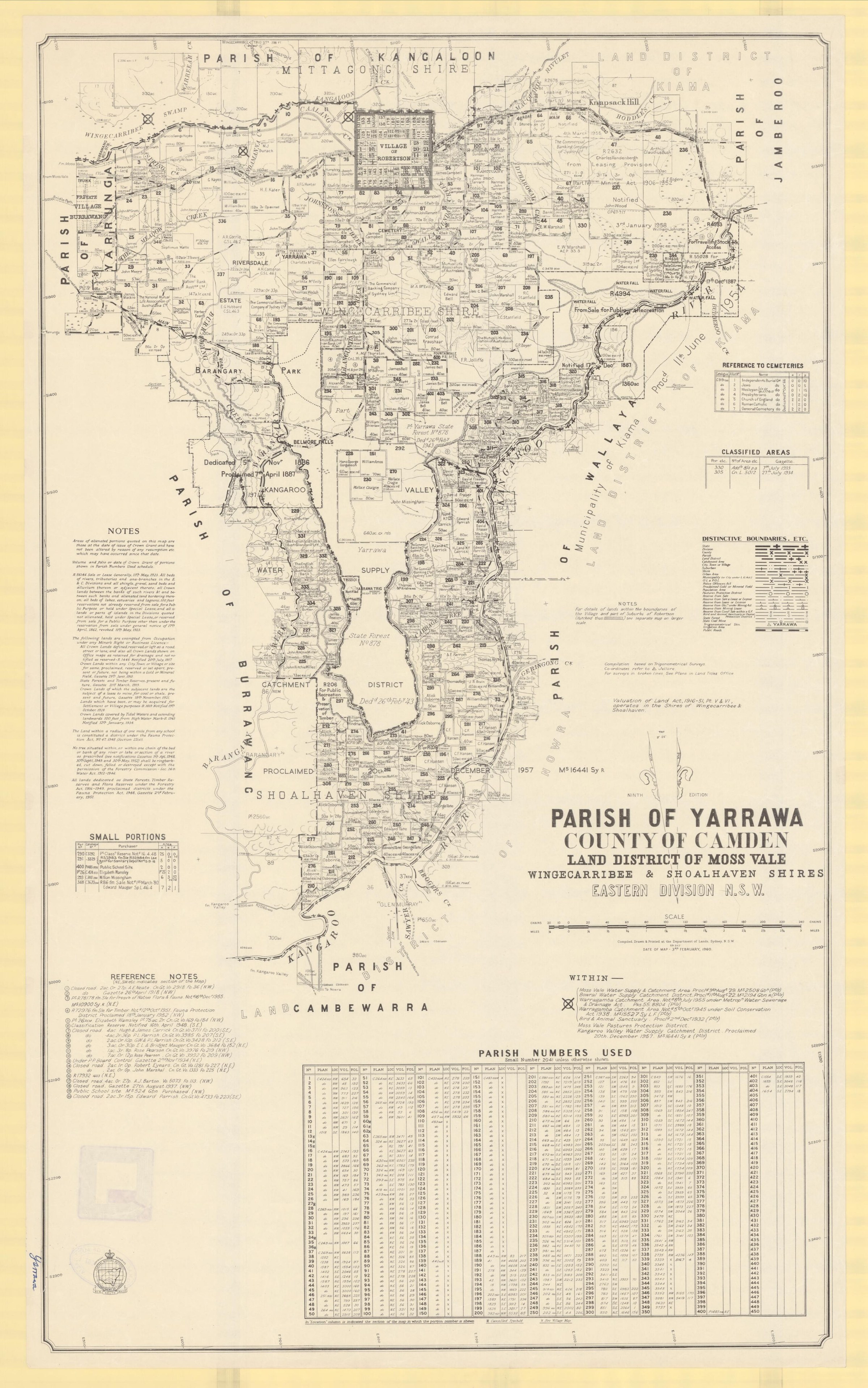
Related historical names and search terms: Yarrawa. These may name a former settlement, institution or nearby feature; check the context in the sources.
Browse local photographs linked to Robertson
Explore the Society’s photographs for sale
Read the landscape
1924
Catalogue entry only; the plan itself has not yet been inspected.
Robertson Crown town lots auction
The catalogue lists a Crown land town-lot auction for 2 December 1924 at the courthouse, with Congewoi, Hoddle, Burrawang, Meryla and Yarranga streets. The list is a lead to the plan, not proof of sale.
Related places: Robertson
State Library of NSW, Robertson subdivision plans, Z/TP/R8/4.
Check the State Library item record for access and reuse conditions.
Undated
Catalogue entry only; the plan itself has not yet been inspected.
Carrington Estate: 63 allotments, Robertson
The Library lists a Carrington Estate sale plan for 63 allotments and records the surrounding streets. Its list does not give a sale date. Inspect the original plan and other records before interpreting individual lots.
Related places: Robertson
State Library of NSW, Robertson subdivision plans, Z/TP/R8/2.
Check the State Library item record for access and reuse conditions.
Browse maps and plans linked to Robertson
Newsletter Mentions
Stories about Robertson in the Society’s newsletters.
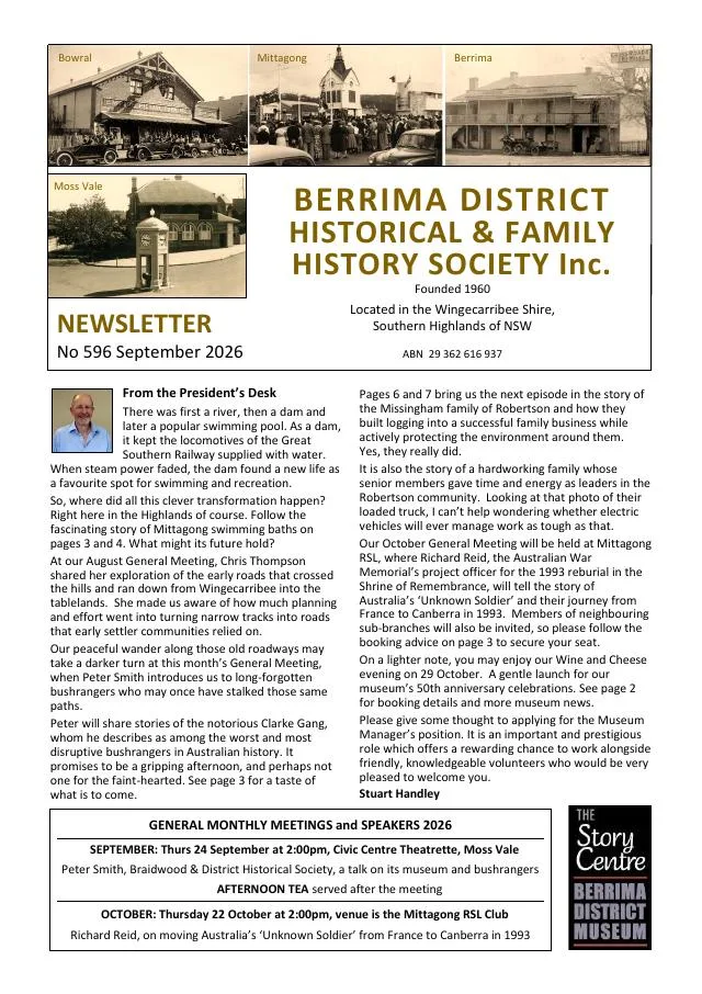
September 2026
- The continuing Missingham family history follows Robertson district farming, timber work and community activities (pp.6-7).
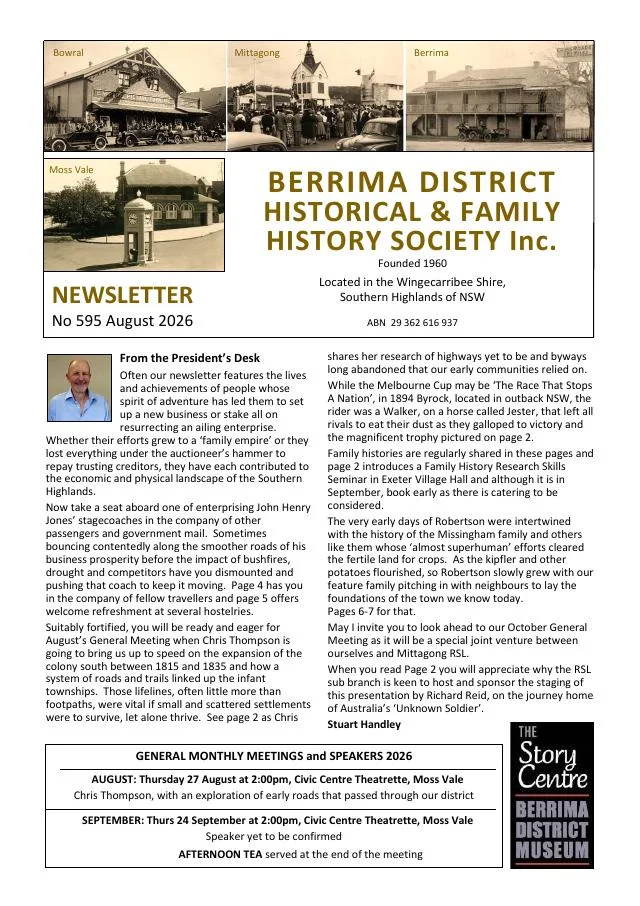
August 2026
- A Robertson district history begins the Missingham family story, land selection and agriculture; it continues in the next issue (pp.6-7).
February 2023
- A Berrima Bridge Nursery account follows Claude and Isobel Crowe from their 1943 nursery to irrigation, garden designs and expansion to Robertson (pp.4-5).
December 2016
- Newspaper extracts cover Robertson cheese-making and the 1893 consecration of St Thomas’ Church at High Range (p.7).
February 2010
- Reprinted 1896 reports describe Pheasant Ground’s dairy factory, school, crops and links to Robertson (p.2).
Books in our Library
These catalogue titles mention Robertson. Check the linked catalogue and ask the Society about access.
- 80 Years and More of the Mountain Railway: History and operation of the Unanderra-Moss Vale Railway Line and Robertson (2015) - catalogue p. 2
- A Guide to the Yarrawa Brush. Trees, Shrubs and Vines of the Robertson Rainforest Remnants. Published by the Robertso (1993) - catalogue p. 3
- A History of the Parish of Robertson - catalogue p. 5
- History of the Robertson School of Arts Incorporated 1885 to 2017 (2017) - catalogue p. 32
- Reds and Blacks to Maroon and Whites 1914 - 2024: A 110 year history of Robertson-Burrawang Rugby League. (2024) - catalogue p. 51
Further research
There is more to discover about Robertson in the Society’s archives and in other collections. A catalogue entry may lead to material that has not been digitised or needs to be consulted in person.
- Ask the Society’s research centre about local files, photographs and records.
- State Library of NSW collections - search photographs, maps, manuscripts and local publications.
- NSW Historical Land Records Viewer - search historical land records, plans and parish maps by place or parcel.
Sources already connected with this place include:
- Heritage NSW: Mount Murray Railway Station group, Moss Vale history
- Wingecarribee Heritage Study 1991
- Wingecarribee Public Library Archives Collection
- Wingecarribee, Our Home
The Society can undertake professional research at $40 per hour. Contact the research centre to discuss your question and request a quote.