Discover Canyonleigh
Canyonleigh, historically Canyan Leigh, developed along an old Taralga stock route with a school, post office and grazing properties.
The 2021 Census counted 455 people in the ABS suburb and locality of Canyonleigh.[15]
Explore nearby and connected places: Berrima · Sutton Forest · Wingello · Paddys River
Canyonleigh through time
Country, roads and early settlement
Canyonleigh has a long Aboriginal history predating colonial settlement. A Society account records evidence of Aboriginal habitation across the district; cultural sites and their precise locations should be treated with care and guidance sought from the appropriate Aboriginal community.[10][11]
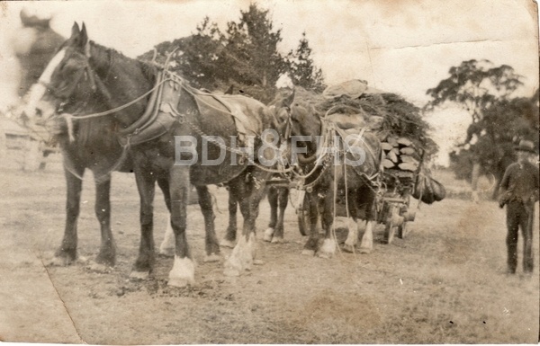
In a two-part Society history, Philip Morton describes the area marked as Wombat Brush on an 1834 map. A road built under Charles Throsby’s supervision in 1820 crossed the district towards the Cookbundoon ranges, carrying travellers and bullock teams. Timber cutting and grazing later supported dispersed families, whose social life included visits, tennis and woolshed dances.[10]
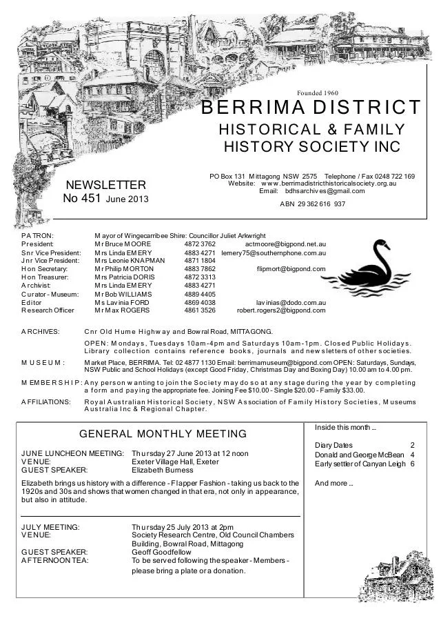
The Murray family’s story began beside a busy road crossing at Murrimba, near Paddy’s River. Philip Morton’s Society account says James Murray drove provisions to the Victorian goldfields and won a contract to build a bridge over the river in the 1850s. James and Jane later kept a store there; the account recalls a robbery attributed to Ben Hall’s gang. The crossing and store belong to the wider district story, before Jane established Canyan Leigh.[10]
Benjamin and Ann Carter were among the settler families described in the history. Their daughter Jane Murray named her property Canyan Leigh; the modern spelling Canyonleigh was formally allocated in 1970, according to the Society account.[11]
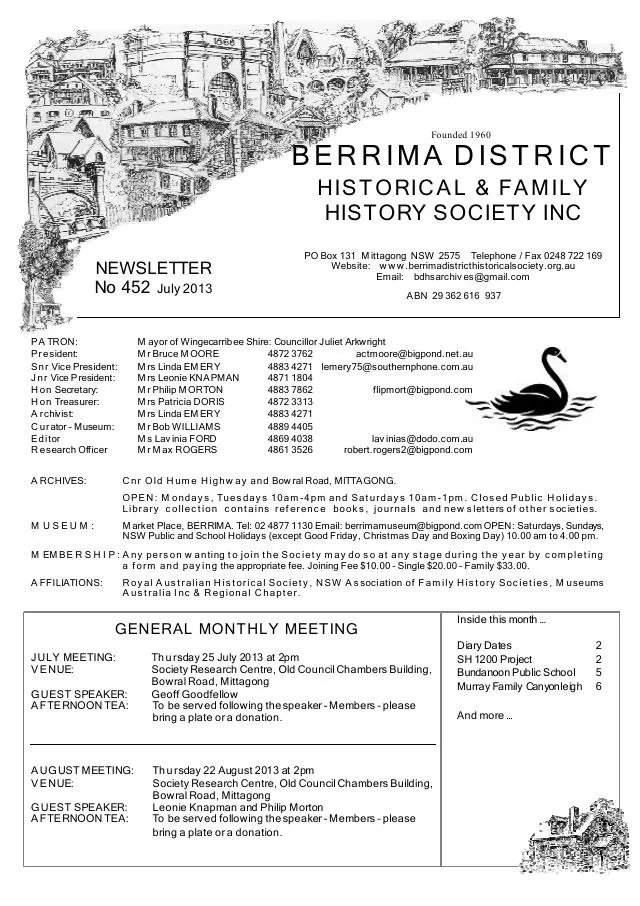
A Society newsletter history records that Jane Murray established her Canyan Leigh property near the junction of Paddy’s River and the Wollondilly in the 1880s, operating a post office and making land available for a school. Her son Benjamin established the nearby Glenco grazing property in 1890. The same account places the post office at Kebarbin from 1915 to 1949, near the present community-hall area on the old Taralga road.[11]
Families and life across the district
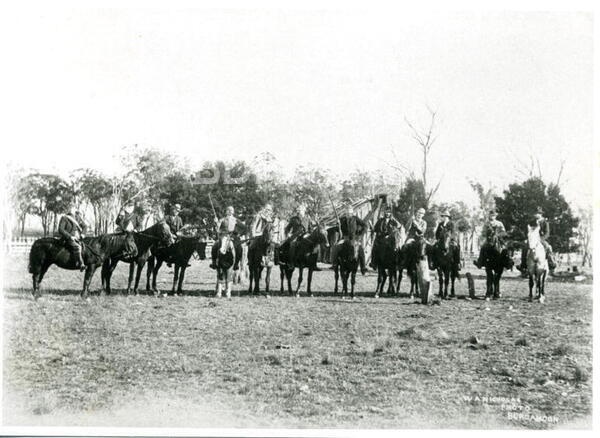
The history names Murray, Carter, Ellsmore, Casburn and Quigg families among early settlers’ descendants. The two newsletter articles are useful starting points for research, with family details, property names and photographs to follow up in original records. Council records later community gatherings at the hall on Quigg’s Reserve.[10][11][12]
Children walked or rode to the small weatherboard school at Canyan Leigh. In a recollection recorded in the Society’s history, one pupil remembered taking boots off for the journey and wearing them only in class. Jane Murray’s son James had made family land available for a school in 1890; by the 1920s children travelled by bus to Sutton Forest.[10][8]
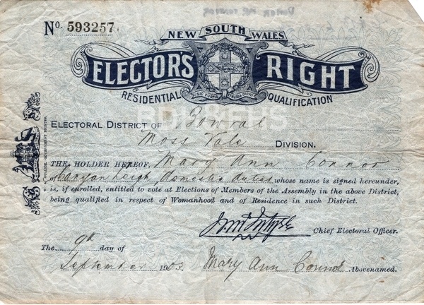
A surviving 1903 elector’s right in the Society’s collection provides a personal window into Canyon Leigh. Linda Emery’s account identifies Mary Ann Connor as a resident and postmistress, and follows her family’s move from Bannaby to the district in the 1890s. The certificate and biography offer leads for researching local postal work, families and electoral records.[13]
Communication across the dispersed district was difficult. Philip Morton records that Horace and Grace Quigg moved the post office to their Millview property in 1950, and describes Grace’s campaign for a telephone exchange there that year. A party line was progressively extended along Tugalong Road; the account also credits a later campaign for an automatic exchange in the 1970s. These details connect postal and telephone services with the practical problem of reaching help in isolated areas.[14]
School-bus services to Sutton Forest contributed to the Canyan Leigh school closing in 1920. Council’s public-land register identifies Canyonleigh Hall and Quiggs Reserve on Canyonleigh Road, retaining a public focal point in this dispersed rural locality.[9]
The 1930s brought hard times to the wider rural district. The Society history describes rabbit infestations and depressed markets affecting property owners. For families living far apart, roads, the post office and later telephone connections remained important parts of daily life.[8][14]
Related historical names and search terms: Canyan Leigh. These may name a former settlement, institution or nearby feature; check the context in the sources.
Browse local photographs linked to Canyonleigh
Explore the Society’s photographs for sale
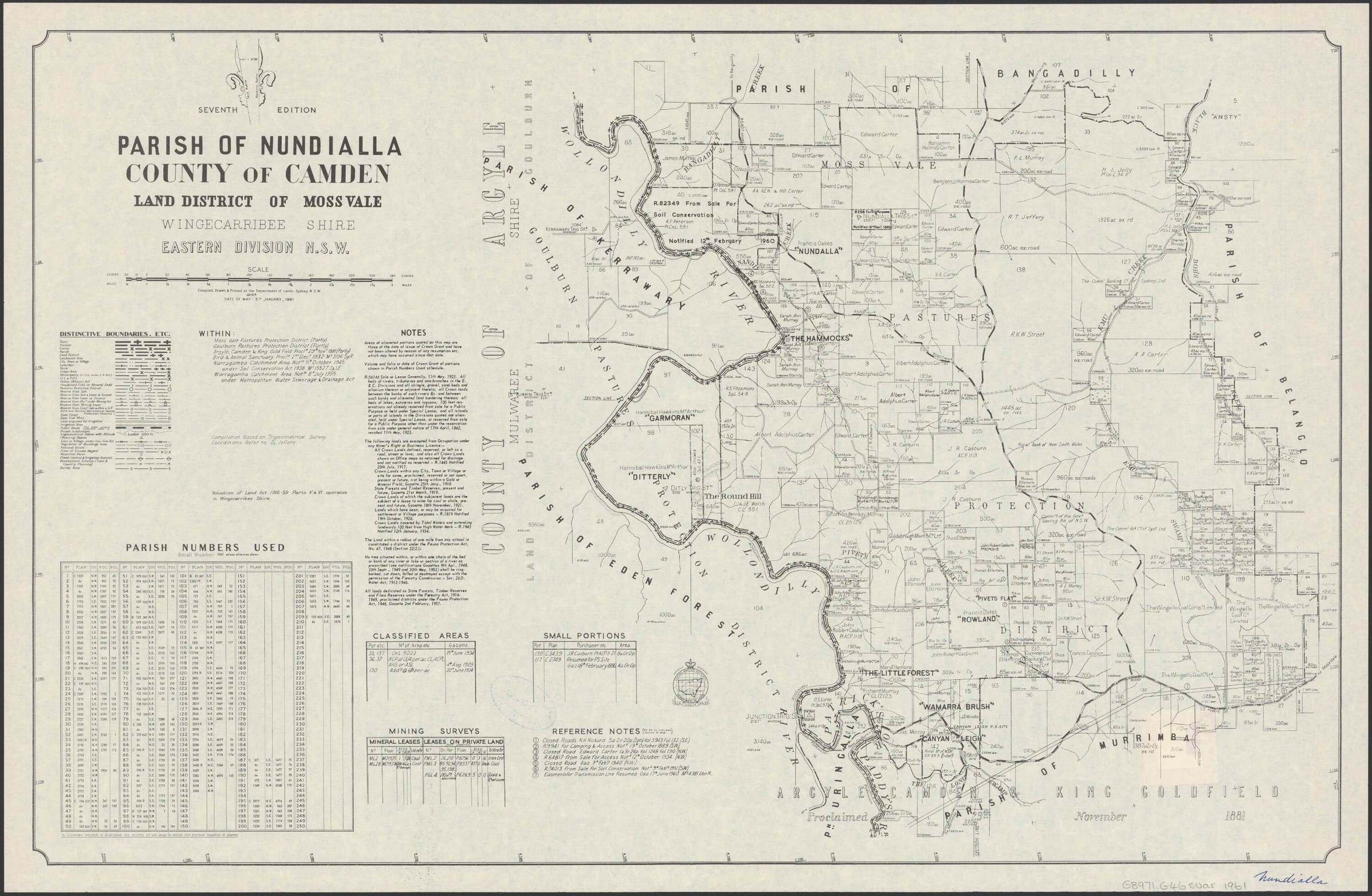
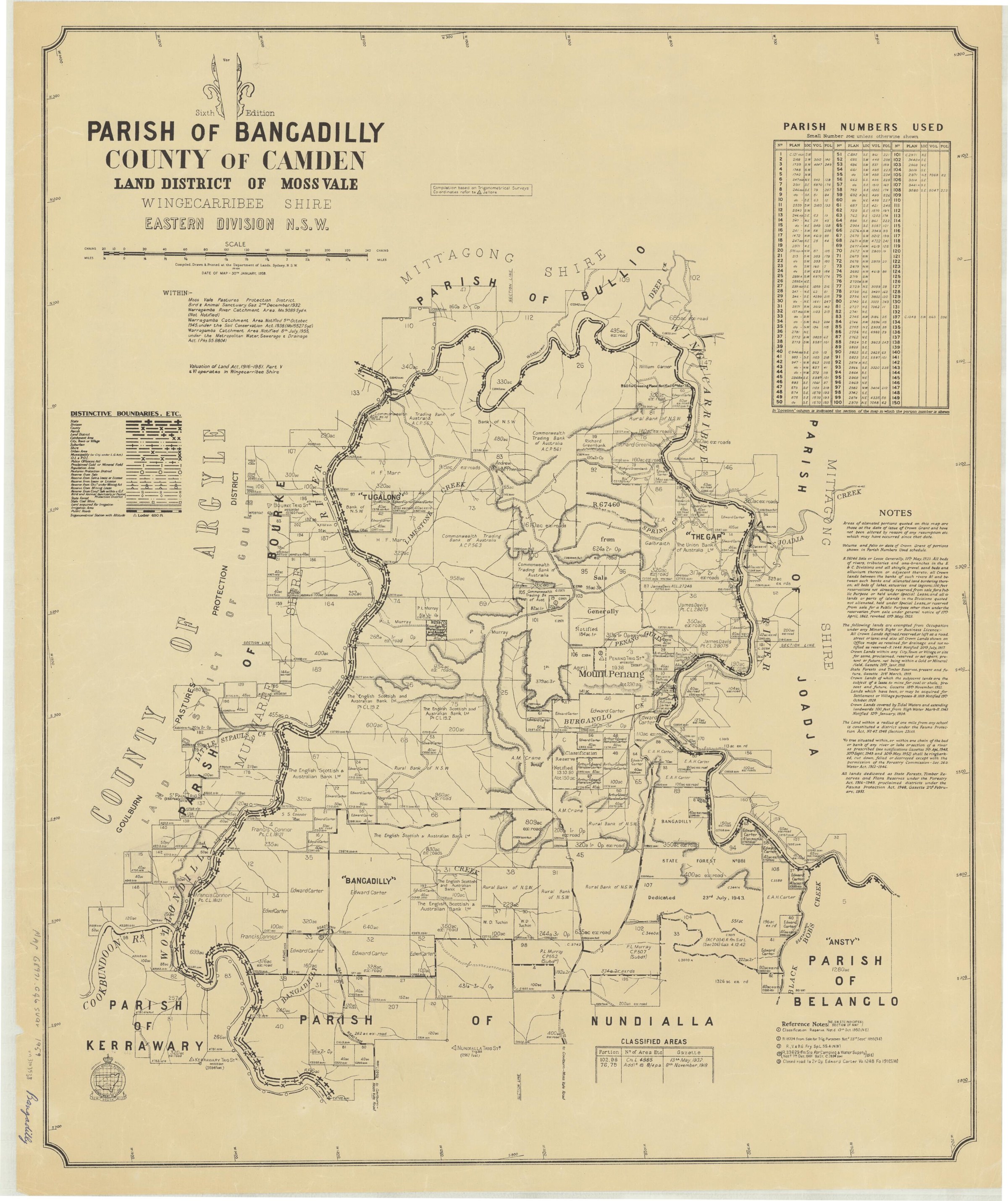
Browse maps and plans linked to Canyonleigh
Newsletter Mentions
Stories about Canyonleigh in the Society’s newsletters.
Further research
There is more to discover about Canyonleigh in the Society’s archives and in other collections. A catalogue entry may lead to material that has not been digitised or needs to be consulted in person.
- Ask the Society’s research centre about local files, photographs and records.
- State Library of NSW collections - search photographs, maps, manuscripts and local publications.
- NSW Historical Land Records Viewer - search historical land records, plans and parish maps by place or parcel.
Sources already connected with this place include:
The Society can undertake professional research at $40 per hour. Contact the research centre to discuss your question and request a quote.