Discover Sutton Forest
Sutton Forest is one of the earliest colonial settlements in the Southern Highlands, with surviving churches, public buildings and rural estates.

Explore nearby and connected places: Berrima · Exeter · Canyonleigh
Sutton Forest through time
Early roads, inns and settlement
Visit NSW describes Sutton Forest as the oldest town in the Southern Highlands and one of the region’s earliest colonial settlements. It identifies the Sutton Forest Monument as commemorating the first British explorers who passed through in 1798, and highlights the 1870s Golden Vale Homestead and Hillview Heritage Estate. These sites sit within a broader woodland-and-farm landscape and should be researched individually: a prominent estate or monument does not establish the history of every family or holding in the locality.[14]
Eling Forest and neighbouring Comfort Hill appear in the history of the Great Southern Road. A Society account traces the 1836 division of a 1,000-acre grant between brothers John and William Morrice and describes the road’s relationship to the land. Original deeds and maps can be used to test the account in greater detail.[15]
Farming and road traffic developed together. Philip Morton’s Society history records Captain Nicholson of Newbury sending salted butter to Sydney in the 1830s. Wheat was important too: Sutton Forest was praised as a wheat district in 1847, before rust helped bring a shift towards grazing.[29]
A village grew around an early church and the road south. According to the Wingecarribee village plan, a burial ground was arranged in 1828, a weatherboard chapel was erected in 1829 and opened as All Saints in 1830. The government township was not established until 1854, by which time a settlement was already taking shape.[16][17]
Roadside inns were part of village life. The council history records licences for the Talbot in 1833 and the Red Cow by 1834; the Talbot was renamed the Royal in 1866. These histories are starting points for tracing proprietors and buildings in newspapers, maps and licensing records.[17]
The Society’s history of Golden Vale and Browley links the properties to Thomas Wilmot, the Carter family and John and Mary Waite. Its account describes Browley’s nineteenth-century barn and an early schoolhouse; it also follows Golden Vale’s changing owners. These are individual property histories within a wider landscape, and ownership and construction dates can be checked against land records and maps.[19]
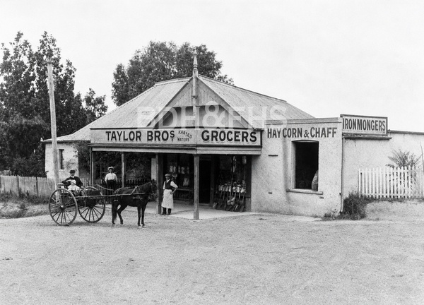
A church and school for the village
Schooling preceded Sutton Forest’s public school. Philip Morton’s account, drawing on the 1960 booklet Silken Whispers, describes Church of England and Catholic schools and the search for better premises. The 1871 weatherboard denominational school later became the hall at All Saints. After debate over a public-school site, a stone school opened on 12 January 1880 with 44 pupils. The article follows its teachers, equipment and centenary, and reports its planned closure at the end of 2014.[21]
The present All Saints church was designed by Edmund Blacket and completed in 1861. A Society newsletter features a watercolour of the church by local artist Daphne Bunter; the church and cemetery can lead researchers towards parish registers, memorial inscriptions and family connections. Dates and relationships should be checked against original records.[18]
The All Saints graveyard is a source for family and community history beyond its surviving monuments. The Society’s introduction to Linda Emery’s Tales from a Churchyard reports the first recorded burial in 1829 and describes the old section’s headstones and many unmarked graves. The book follows families including the Atkinsons, Badgerys, Nicholsons, Carters and Morrices; researchers should compare inscriptions with burial registers and other records.[22]
Country estates in changing times
Hillview began as Prospect, a country property assembled by auctioneer R. P. Richardson from earlier grants. Philip Morton records that the government bought it in 1881 and that Colonial Architect James Barnet proposed additions for its new role as a governor’s country residence. The remodelled house opened in 1883. The article also describes its kitchen garden, orchard and dairy, the people employed there, local Red Cross fetes and the 1958 sale after vice-regal use ended. Land and building records can help trace each stage of the estate.[23][24]
Hillview’s history also intersects with the Society’s own collections. Its November 2024 newsletter records that Edwin Klein, a later owner and Society member, made Hillview available for museum storage and held garden open days to raise funds. The article describes the estate’s earlier vice-regal role and a 2024 restoration proposal; consult current sources for the property’s present arrangements.[20]
The 1936 Moore’s Flats Estate sale shows how a large Sutton Forest holding was offered as smaller farms. A Southern Mail advertisement described about 2,000 acres in 11 blocks, with dairy farms, grazing land, four homesteads and water from creeks and springs. It offered extended payment terms and lithographed plans. After the March auction, the same newspaper reported five blocks, totalling 1,006 acres, sold and negotiations continuing for the balance. The actual newspaper images confirm that a Yass advertisement said 12 blocks while the Southern Mail said 11; the auction plan and conveyances may explain the difference.[25][26][27][28]
The National Trust traces Golden Vale from land promised to Michael Hogan in 1822 to Thomas Wilmot’s purchase in 1830 and Edward Carter’s later sandstone homestead, built around 1870. After occupation by the Keighley family from the mid-1980s, the property was gifted to the Trust in 2005.[30]
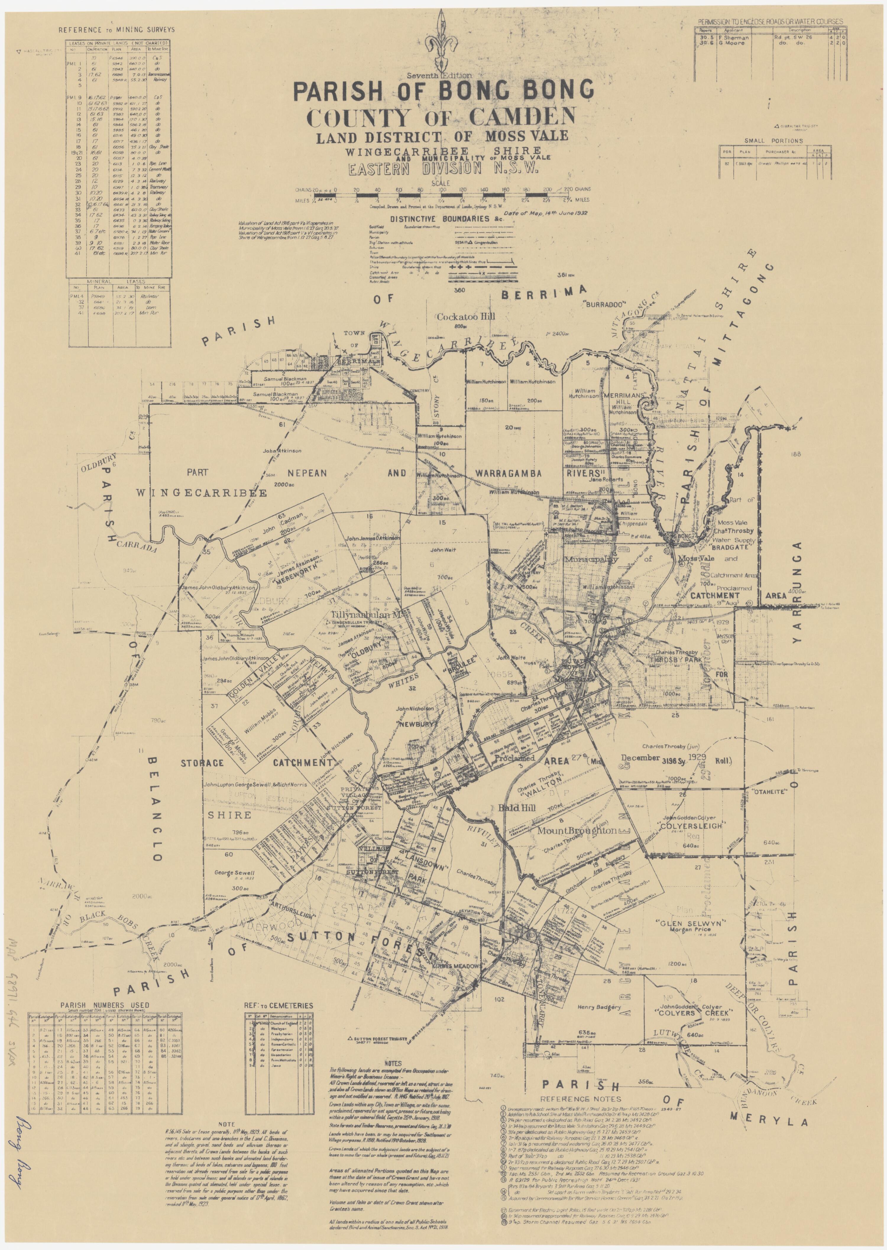
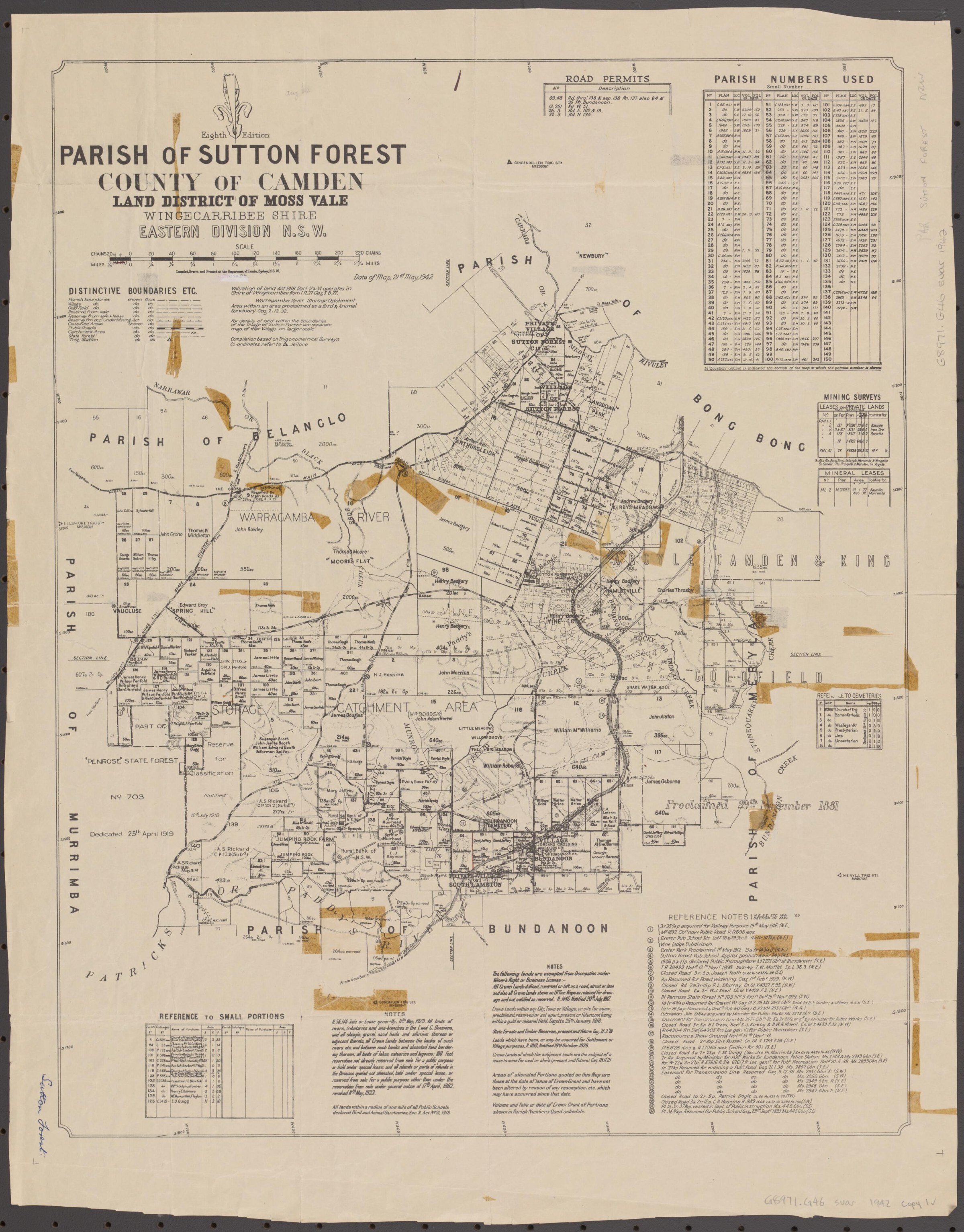
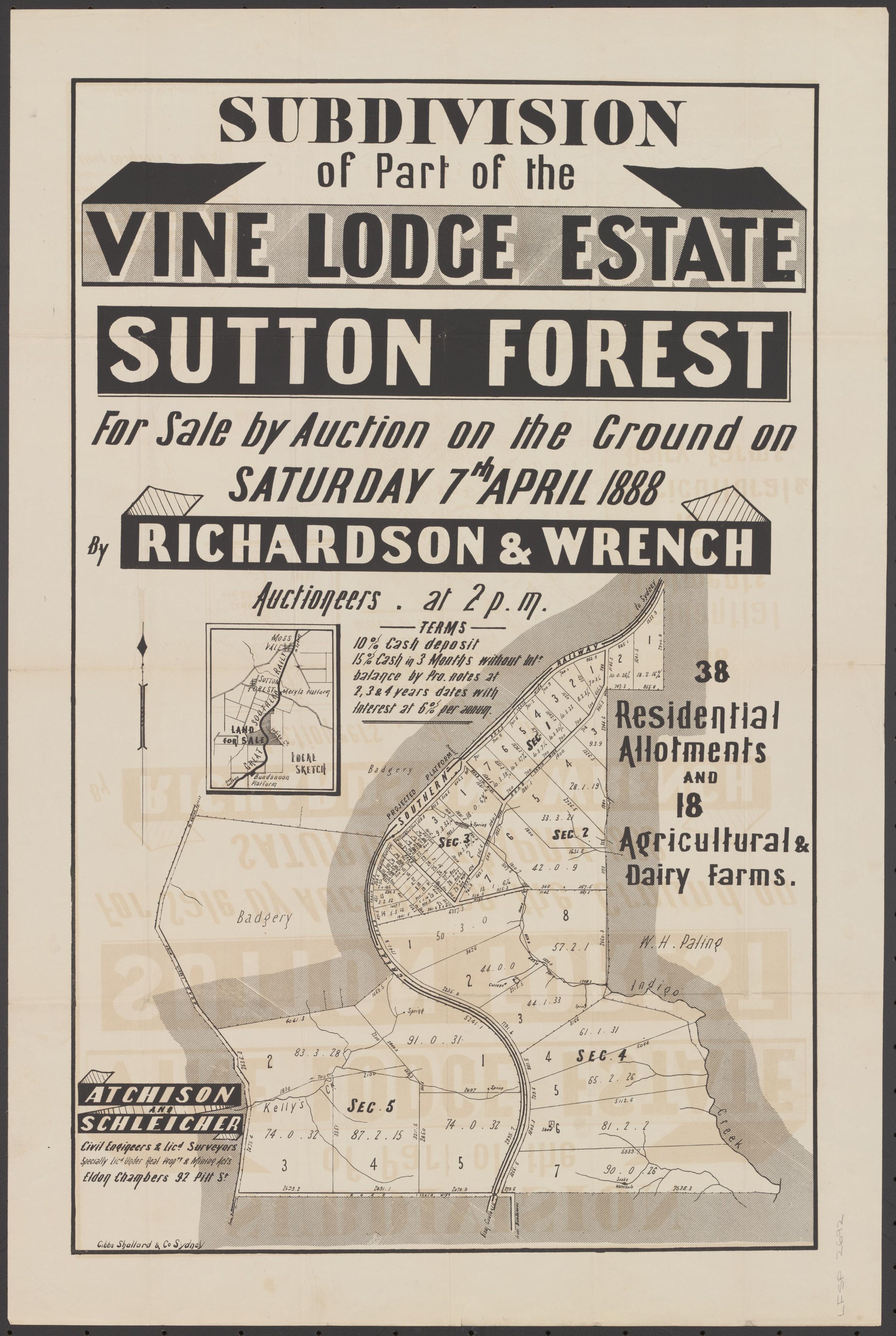
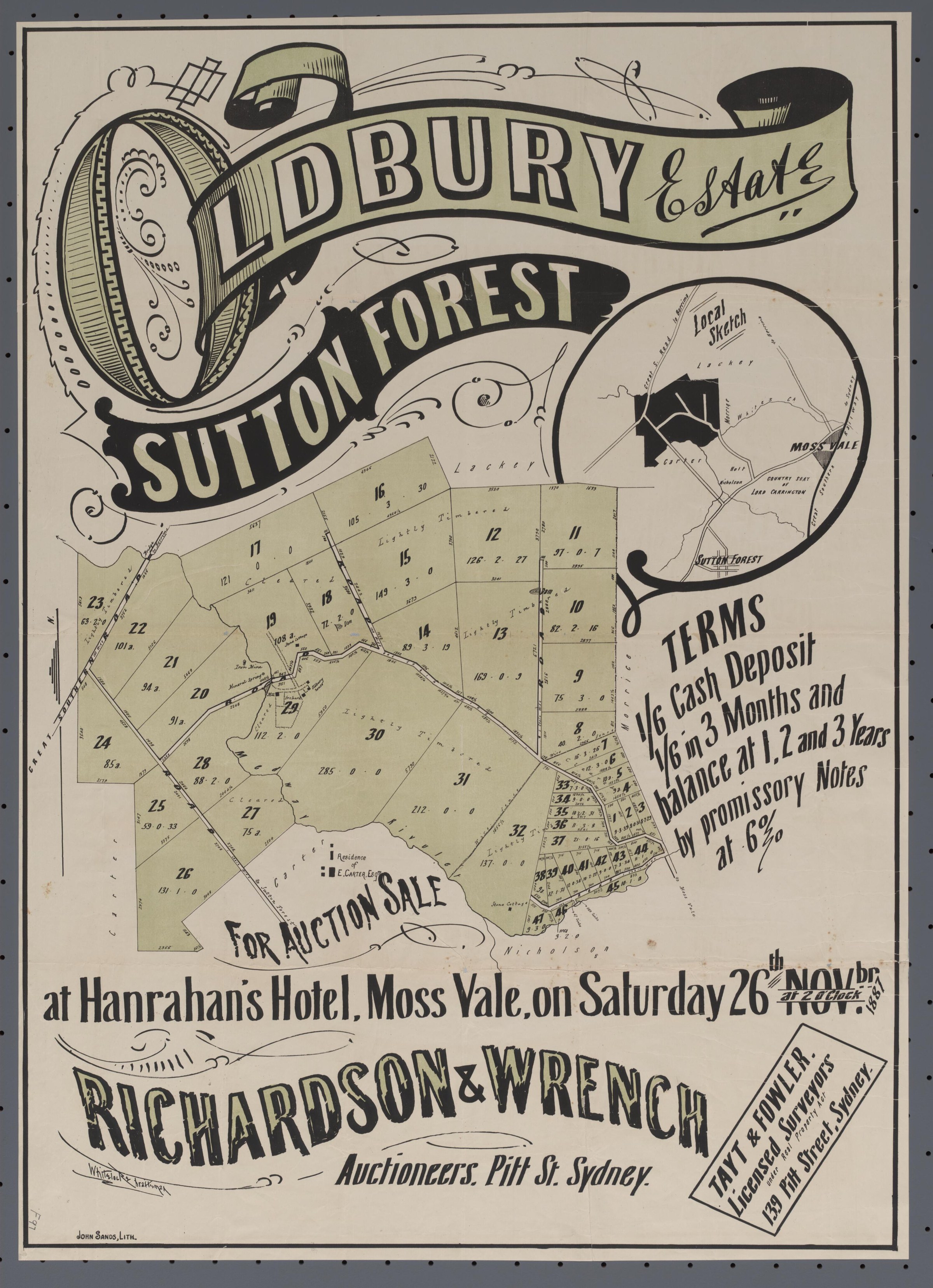
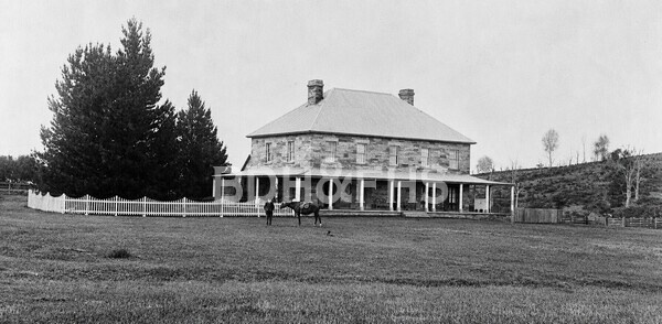
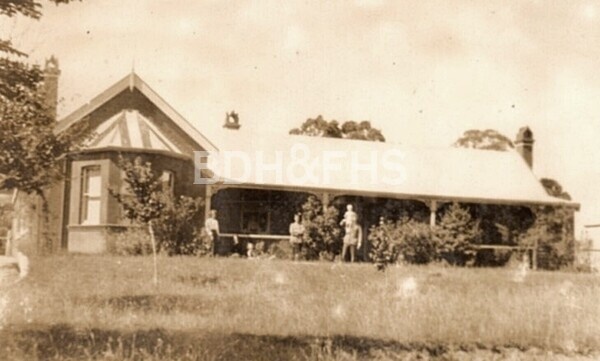
More views of Sutton Forest
Select a thumbnail to see the larger image. Captions and credits follow the available source records.
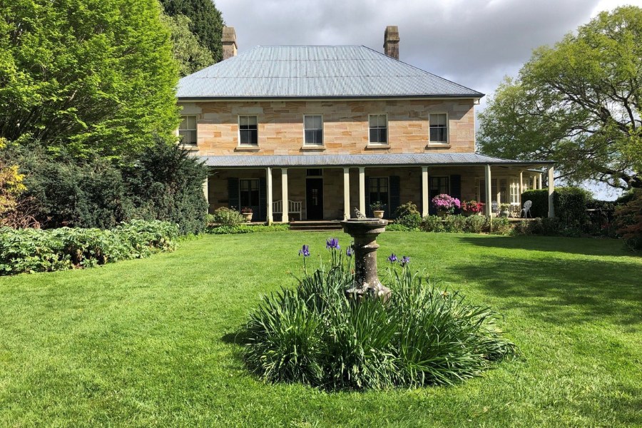
Browse local photographs linked to Sutton Forest
Explore the Society’s photographs for sale
Read the landscape
1837
View the annotated map on page 6 of the linked newsletter.
Early southern roads: annotated extract of an 1837 NSW map
The Society article overlays colours on an extract it dates to 1837 to compare early roads and the track towards Bungonia. It is a regional view, not a detailed village plan; verify the map’s original identity and the routes against contemporary surveys.
Related places: Penrose, Bundanoon, Sutton Forest
Map extract reproduced and annotated in Society newsletter 542, October 2021, p.6; original map and later annotations need separate attribution.
View in the Society newsletter; identify the original map and annotation rights before extracting or reproducing it.
1861
Catalogue reference · display image to be added after reuse checks.
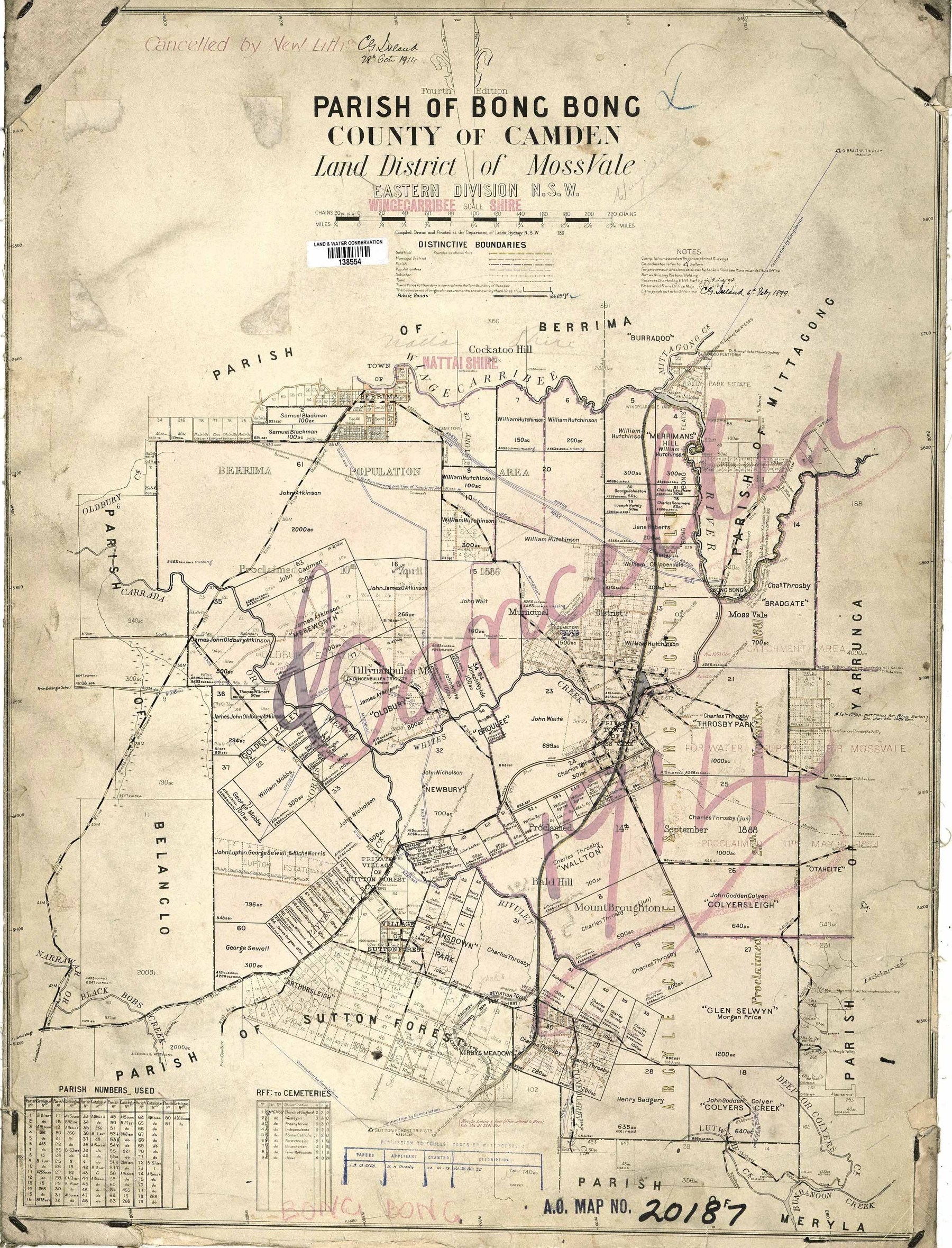
Parish of Sutton Forest: plan of 15 portions at the Barren Grounds
The group’s catalogue lists a plan of 15 portions measured for sale at the Barren Grounds, dated 20 December 1861. The link is to the catalogue, not a digitised map.
Related places: Sutton Forest
Bundanoon History Group, archives database, August 2026, map holdings reference 1.4.
Ask the holding group about access and permission to reproduce.
1896
Catalogue reference · display image to be added after reuse checks.
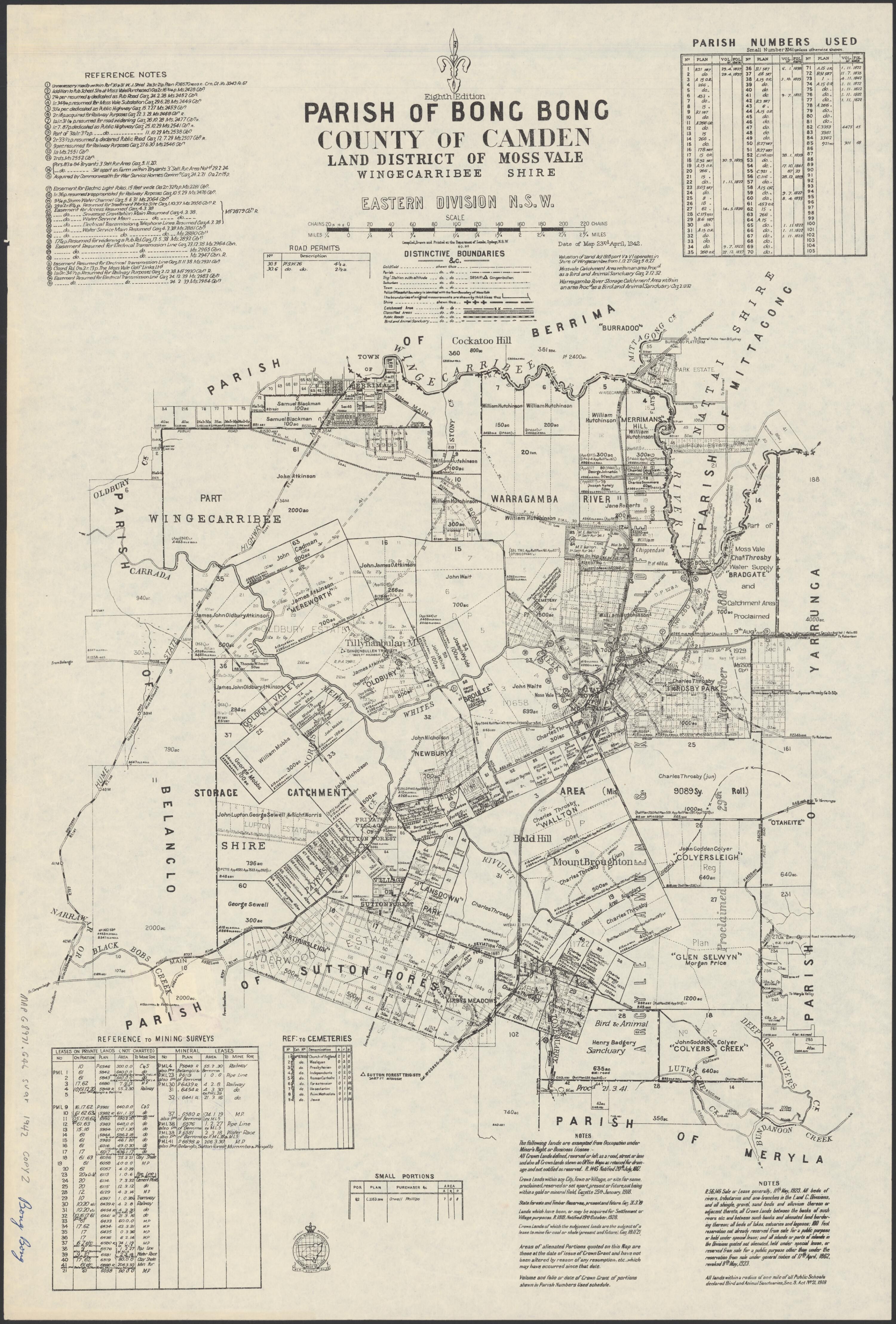
Parish of Sutton Forest: village of Bundanoon portion
The group lists an 1896 parish map and a photocopied portion showing the village of Bundanoon. The link opens the archive catalogue, not the map; ask the group to inspect the copy before drawing conclusions.
Related places: Sutton Forest, Bundanoon
Bundanoon History Group archives database, August 2026, map holdings reference 1.1.
Ask the holding group about access and permission to reproduce.
1936
Open the original newspaper page; the advertisement appears near the bottom centre.
Moore’s Flats Estate auction advertisement
The advertisement near the bottom centre of the newspaper page offers the Sutton Forest estate as dairy and grazing farms and refers readers to lithographed plans. The scanned original says 11 blocks; a Yass advertisement published later says 12. Neither confirms the final boundaries.
Related places: Sutton Forest
The Southern Mail, 14 February 1936, page 4; National Library of Australia, Trove.
View the newspaper page through Trove; check rights and reproduction conditions before extracting the advertisement.
Browse maps and plans linked to Sutton Forest
Newsletter Mentions
Stories about Sutton Forest in the Society’s newsletters.
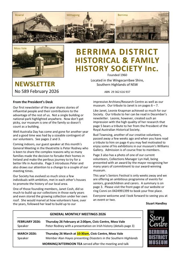
February 2026
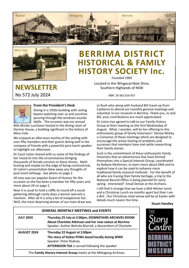
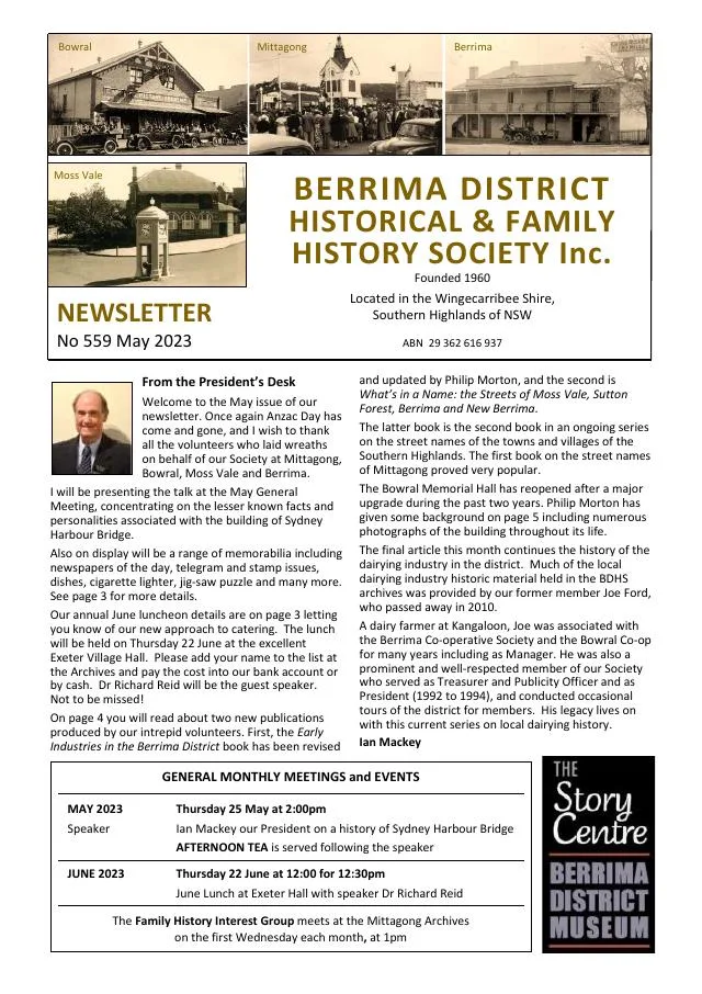
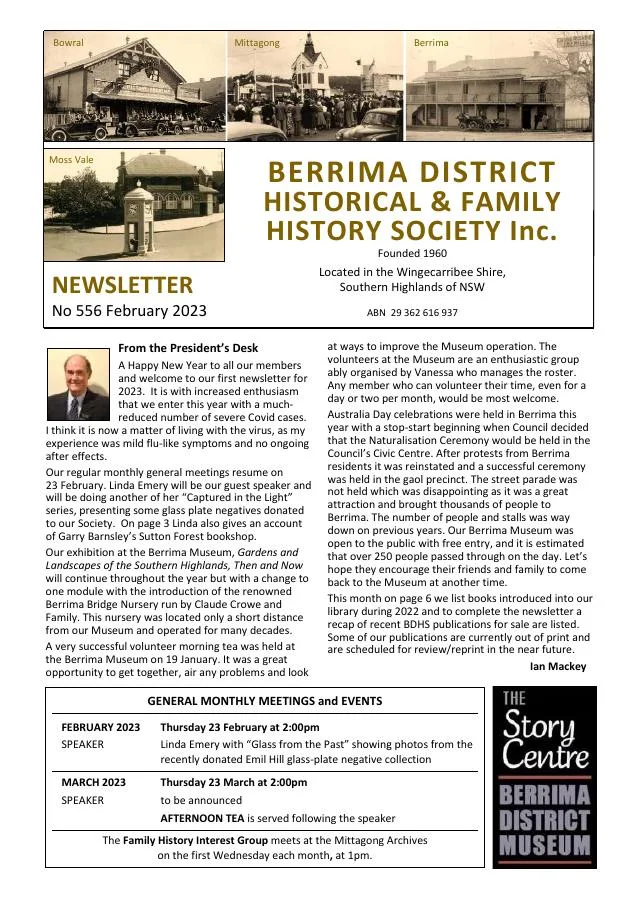
- Janet Cosh’s life, botanical collections and connection to the early Society and Cosh Park at Sutton Forest are traced (pp.6-7).
February 2023
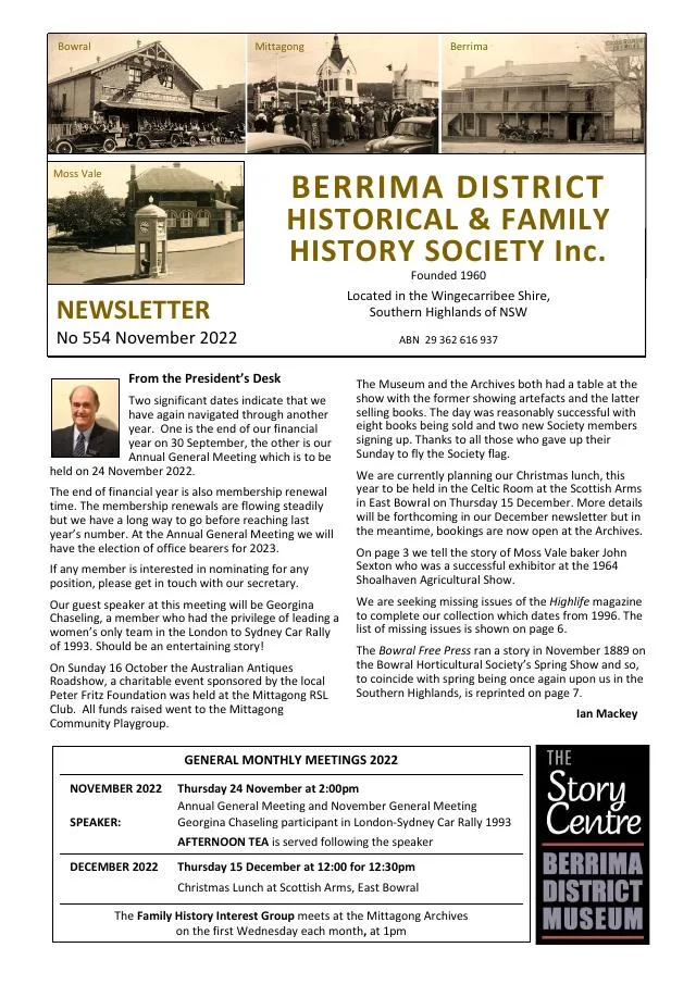
- The 1895 Barnsley butcher shop at Sutton Forest later became a bookshop connected with the Book Town movement (p.3).
November 2022
- Linda Emery introduces an early Sutton Forest photograph album and the vice-regal horse Freckles (p.4).
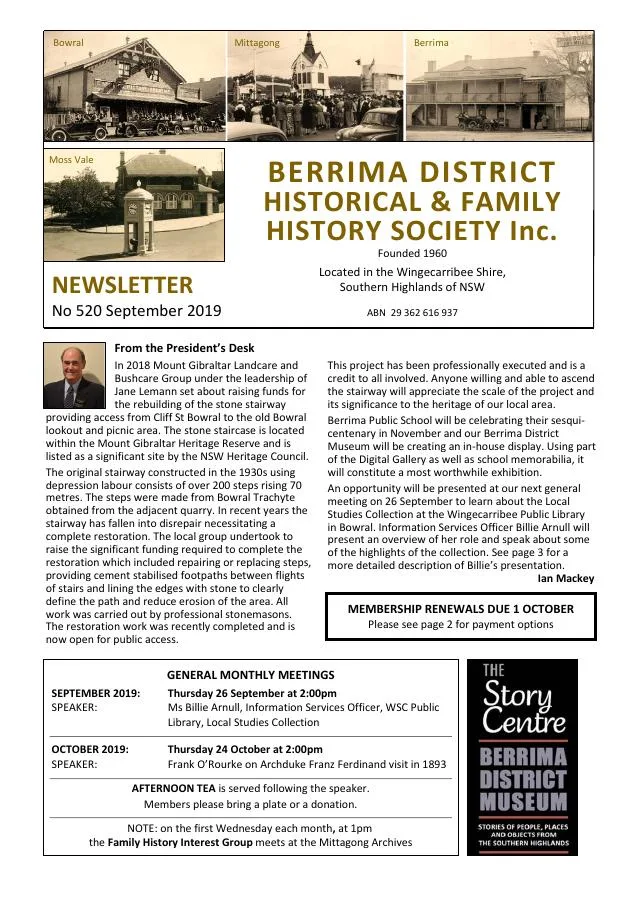
September 2019
- Wingecarribee’s local studies collection and a Sutton Forest plaque are introduced (p.3).
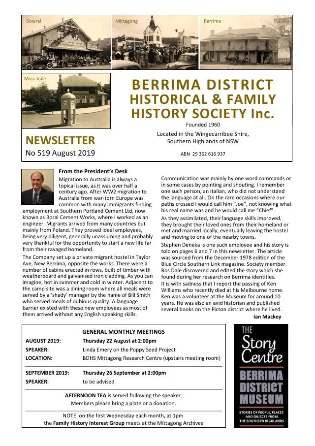
August 2019
- Linda Emery introduces the Poppy Seed Project and a Sutton Forest memorial plaque (p.3).
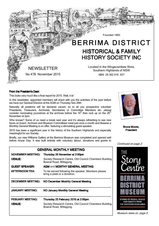
November 2015
- Members visit Browley and Oldbury near Sutton Forest; photographs compare the 1915 Kangaroo recruitment march with its centenary re-enactment at Exeter (p.3).
December 2014
- Philip Morton traces Sutton Forest’s denominational schools, the public school opened in 1880 and its development through the twentieth century (pp.4-5).
October 2012
- A feature on Linda Emery’s Tales from a Churchyard outlines All Saints, Sutton Forest, and its burial records and memorials (p.6).
March 2011
- The issue introduces research into Sutton Forest teacher Will Carter and reviews Tallong, a Heritage (p.4).
Books in our Library
These catalogue titles mention Sutton Forest. Check the linked catalogue and ask the Society about access.
- All Saints' Cemetery, Sutton Forest, N.S.W.: A survey of a church cemetery and an analysis of that survey. (1992) - catalogue p. 8
- FROM KENT TO SUTTON FOREST: A Record of the Ditton Family - catalogue p. 26
- From Sutton Forest to Bundanoon (2001) - catalogue p. 26
- Silken Whispers from Sutton Forest being District, School and Church Early General History. - catalogue p. 54
- Sutton Forest Photos - Houses with Details. Cosh Collection. - catalogue p. 56
Find Society publications mentioning Sutton Forest. The list is from October 2026; contact the Society about current availability.
Further research
There is more to discover about Sutton Forest in the Society’s archives and in other collections. A catalogue entry may lead to material that has not been digitised or needs to be consulted in person.
- Ask the Society’s research centre about local files, photographs and records.
- State Library of NSW collections - search photographs, maps, manuscripts and local publications.
- NSW Historical Land Records Viewer - search historical land records, plans and parish maps by place or parcel.
Sources already connected with this place include:
- Wingecarribee Shire Council: Sutton Forest history, planning panel papers
- Parish of Sutton Forest, eighth edition, 1942, National Library of Australia
- Yass Tribune-Courier, 20 February 1936, p.2: Moore’s Flats subdivision sale
- Southern Mail, 14 February 1936, p.4: Moore’s Flats Estate auction advertisement
The Society can undertake professional research at $40 per hour. Contact the research centre to discuss your question and request a quote.