Discover Paddys River
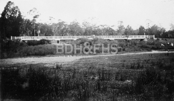
The former roadside village of Murrimba grew beside Paddys River, serving travellers on the old southern road.
Explore nearby and connected places: Sutton Forest · Canyonleigh · Wingello · Tallong
Paddys River through time
The river, road and Murrimba
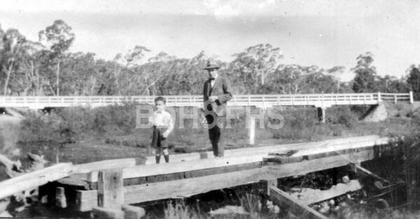
Transport NSW’s road history records the river being named St Patrick’s River on 17 March 1818. Murrimba grew at the crossing: Willoughby Beadman’s Jolly Miller Inn opened in 1833, the year teamster James Murray won the tender for a wooden bridge. Inns, a blacksmith and a store served the traffic. Mrs Murray ran the store; the road history records that the early wooden bridge was washed away later in the nineteenth century.[6]
A Colonial Secretary’s notice dated 15 April 1835 fixed the site of the village of Murrimba at the Great South Road crossing of Paddy’s River. It said the approved plan could be inspected in Sydney or at the Bong Bong magistrates’ office and gave a minimum price of two pounds an acre. The notice records the intended layout and terms; individual grants or purchases need separate title evidence.[8]
The road history recounts a dramatic evening on 3 February 1865, when Ben Hall, John Gilbert and John Dunn held up Murrimba and gathered five local families at Jeffrey’s Inn. It reports that the gang took goods from Mrs Murray’s store and money from the inn before departing. The account is a useful starting point for finding contemporary newspaper reports and identifying the families involved.[6]
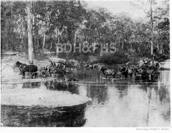
Changing road travel
As transport changed, roadside businesses changed with it. The later Spot and Kay’s cafés supplied food and petrol to motorists, then closed following highway duplication and new bridges. Transport NSW also records a Second World War emergency airstrip near Uringalla Creek, thought probably not to have been used. These different traces show how a road crossing remained useful long after the early village had changed.[6]
A Council community heritage study recorded little or no visible evidence of the earlier bridges at the highway crossing and dates the two-lane concrete bridges to November 1974. Its recommendation was to record the crossing rather than list it as a heritage item. Murrimba’s early township is no longer visible as a village; Paddys River remains a locality, and the surviving history can be followed through road records, parish maps and family documents.[7]
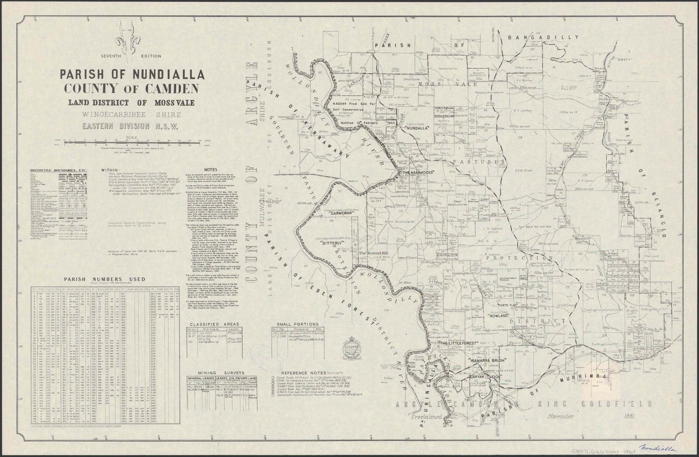
Related historical names and search terms: Murrimba, St Patrick’s River. These may name a former settlement, institution or nearby feature; check the context in the sources.
Browse local photographs linked to Paddys River
Explore the Society’s photographs for sale
Browse maps and plans linked to Paddys River
Explore the newsletters
Search newsletter contents for Paddys River. You can also try nearby places, former names and other spellings.
Further research
There is more to discover about Paddys River in the Society’s archives and in other collections. A catalogue entry may lead to material that has not been digitised or needs to be consulted in person.
- Ask the Society’s research centre about local files, photographs and records.
- State Library of NSW collections - search photographs, maps, manuscripts and local publications.
- NSW Historical Land Records Viewer - search historical land records, plans and parish maps by place or parcel.
Sources already connected with this place include:
- Transport NSW: The Old Hume Highway, Paddys River / Murrimba, p.46
- Colonial Secretary’s notice, 1835: village of Murrimba
The Society can undertake professional research at $40 per hour. Contact the research centre to discuss your question and request a quote.