Discover Meryla
Meryla’s forest, valley farms and steep pass preserve a layered history of roads, timber and rural settlement.
Explore nearby and connected places: Manchester Square · Werai · Moss Vale · Fitzroy Falls
Meryla through time
Country, the pass and early maps
Meryla lies on Gundungurra Country. A NSW National Parks account records that Timelong, an Aboriginal guide, showed Charles Throsby a route through the pass in 1818. The Society’s research explains that the steep track later served as a stock route; the history of this country begins long before colonial travel accounts, and Aboriginal knowledge and connections continue.[8][9]
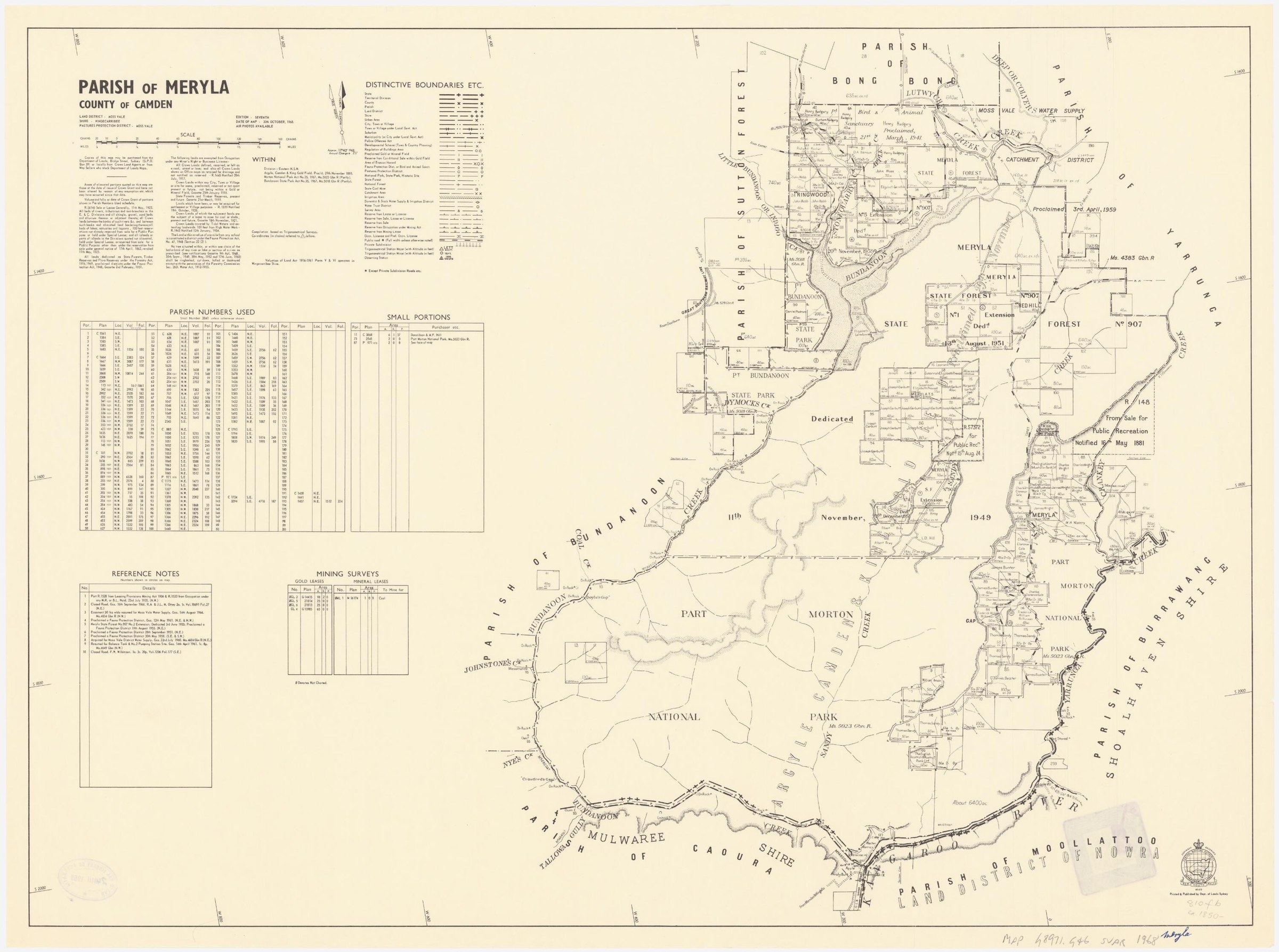
The name appears on Robert Hoddle’s 1831 map, according to the Society’s 2019 research. Its origin remains uncertain. Meryla was also applied to a mountain, a creek, a pass and a railway siding: the Society notes that the siding was later renamed Werai. Historical place names can shift, so a record headed Meryla should be checked against its map and date before attaching it to a present-day address.[8]
The Council community heritage study collects accounts of Meryla Valley and its difficult route between the Highlands and Kangaroo Valley. It reproduces later recollections that cedar cutters and valley farmers used the pass, and describes a vehicular road through the pass in the 1890s. The origin and dating of individual road features need separate evidence.[6][7][8]
Roads, farms and timber
In an interview recorded by historian Rachel Roxburgh, Herman Chapman recalled farms in the valley and forest, a school near the pass, and a damaging fire in 1908. This is a remembered account recorded decades after the events, not a complete census of the district. The same heritage study quotes an account of a 1930 motoring excursion, showing how the pass later attracted visitors as well as serving settlers.[6]
The Society’s 2019 newsletter describes Meryla Road opening from Moss Vale in 1896 and a sawmill operating for much of the twentieth century. The Council study reproduces a 1947 recollection by Charles Wright of farmers, timber workers, bee farmers and a local school. His account is a personal recollection rather than a complete list of residents, but it offers names, occupations and details to follow in records.[6][8]
The old name Meryla Falls is an interesting unresolved research question. The Society’s 2019 article could not identify the falls with certainty; a later Council study suggests they may have been the present Twin Falls. Treat the identification as a hypothesis until the historical descriptions and maps can be checked together.[6][8]
Society researchers Janet Cosh and Rachel Roxburgh investigated the pass by studying written records, speaking with long-time residents and walking the route. Their work became part of a continuing discussion about the path taken by Charles Throsby’s 1818 party. The Society’s 2026 account brings together those earlier interpretations and later recollections; compare them with contemporary journals and maps when following the route.[12]
A protected landscape
Meryla Flora Reserve was created in 2022 and adjoins Morton National Park. NSW National Parks describes it as State forest managed for conservation and identifies its gorges, waterfalls and habitats. For present-day access and conditions, consult National Parks: Griffins walking track through Meryla Pass is a demanding, steep route for experienced bushwalkers.[10][11]
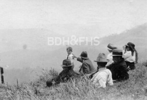
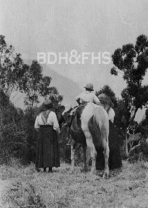
Browse local photographs linked to Meryla
Explore the Society’s photographs for sale
Read the landscape
19th century
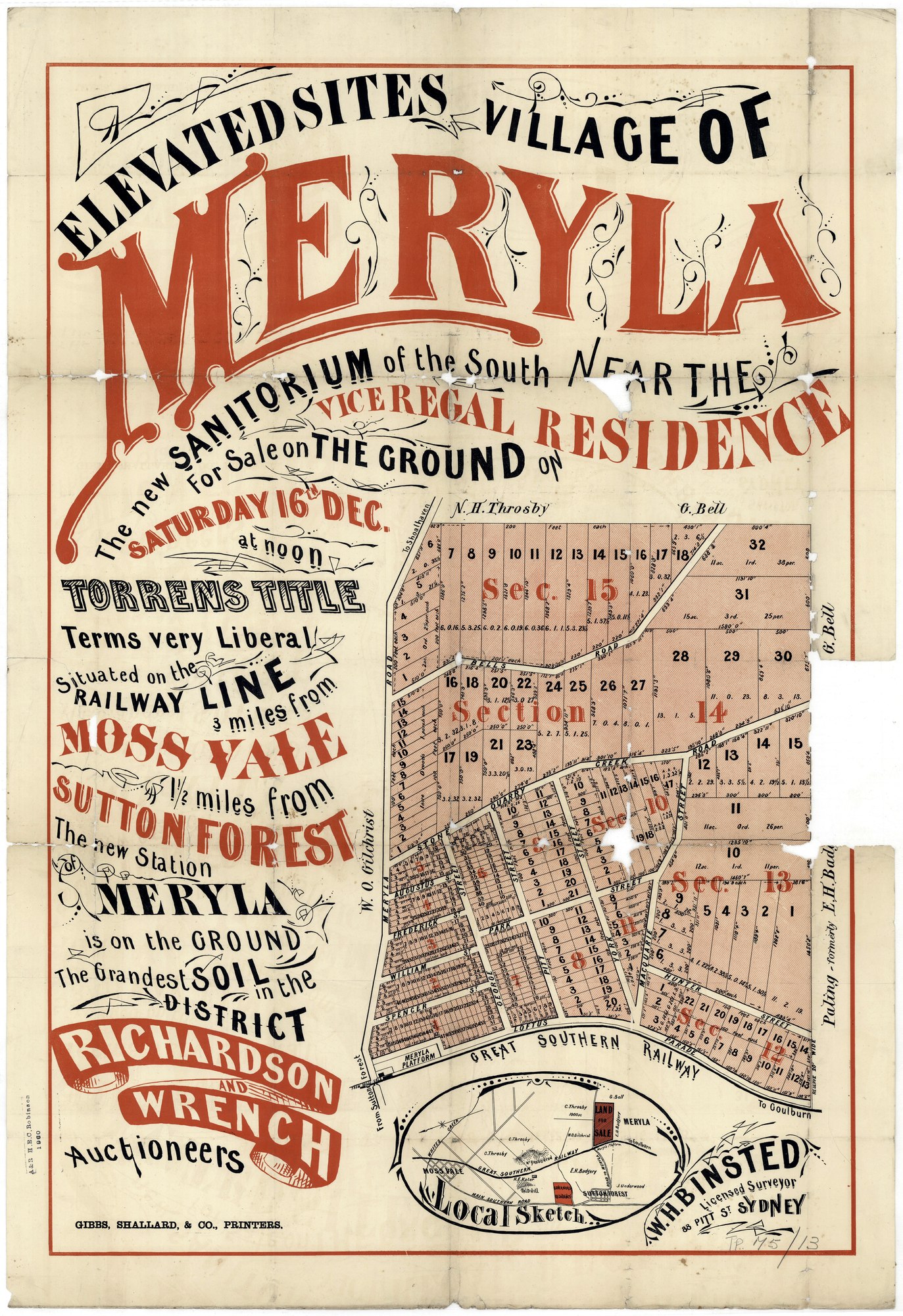
Proposed Village of Meryla beside the railway
The poster offers a grid of proposed lots beside Meryla platform, later known as Werai, and advertises a sale on Saturday 16 December. The year is not printed on this copy or supplied in the Library’s list. The depicted streets and blocks are an advertised proposal, not proof that the village was built.
State Library of New South Wales, Z/TP/M5/13, digital image FL20550713; surveyor W. H. Binsted, auctioneers Richardson & Wrench.
The State Library’s subdivision-plan guide says the plans are out of copyright and may be shared with acknowledgement.
Browse maps and plans linked to Meryla
Newsletter Mentions
Stories about Meryla in the Society’s newsletters.
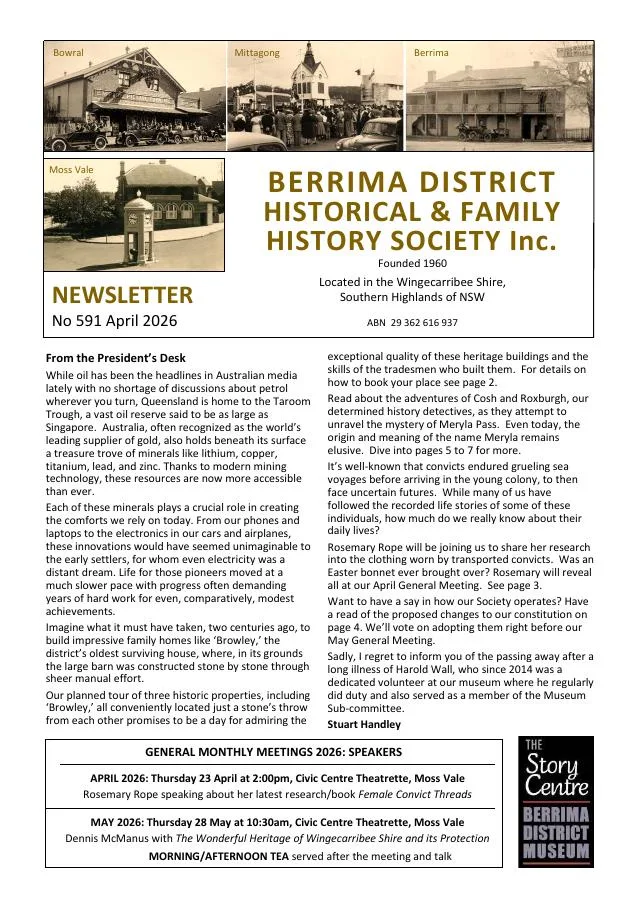
April 2026
- The Meryla Pass article follows Janet Cosh and Rachel Roxburgh’s research, differing interpretations of an 1818 exploration route and recollections of the valley (pp.5-7).
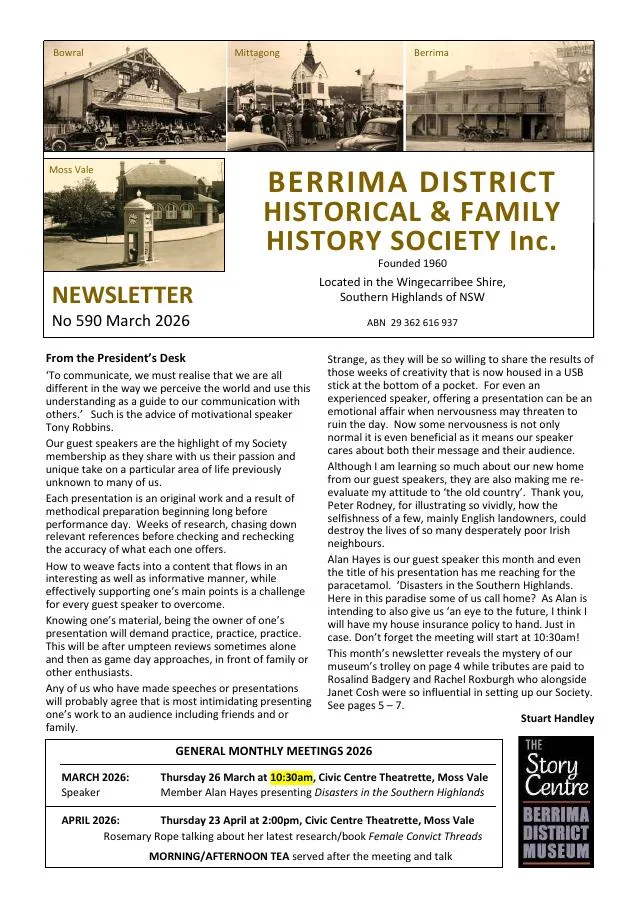
March 2026
- Profiles of Rosalind Badgery and Rachel Roxburgh explore Wanganderry, conservation and research into Meryla Pass (pp.5-7).
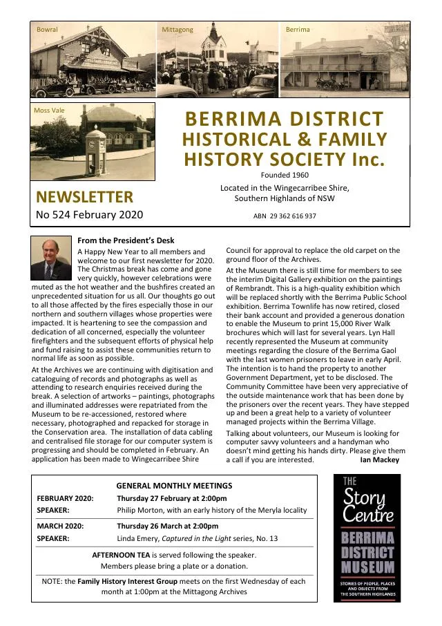
February 2020
- Philip Morton introduces research into Meryla and Werai, and the Society celebrates member Judith Green’s centenary (p.3).
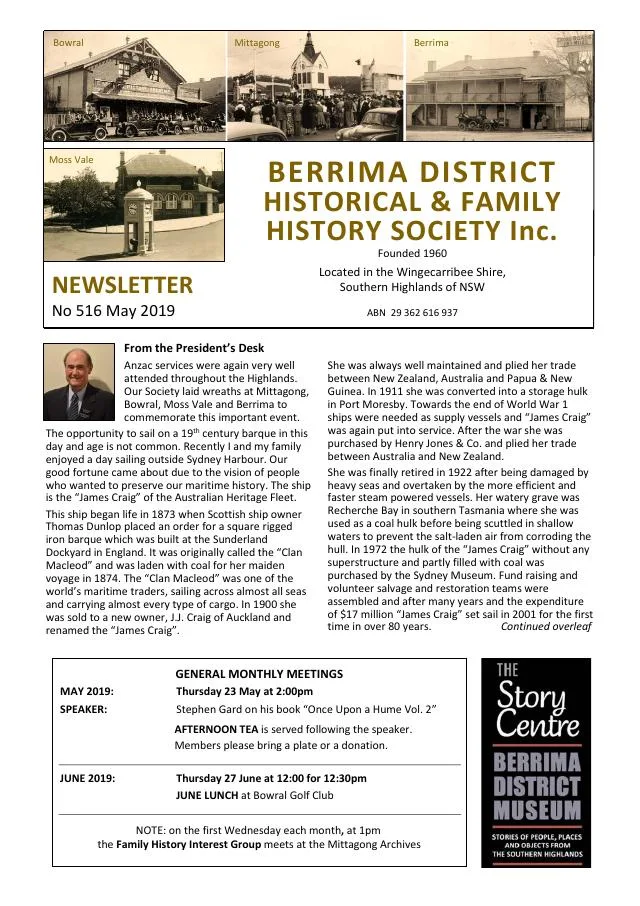
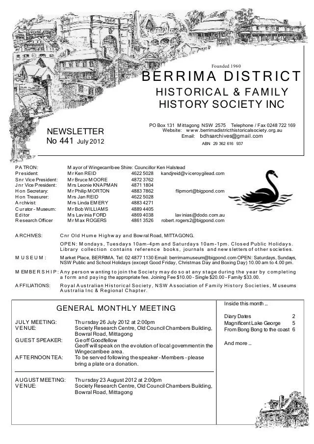
Books in our Library
These catalogue titles mention Meryla. Check the linked catalogue and ask the Society about access.
- The Meryla Pass. Chapter in Journal of the Royal Australian Historical Society, Vol. 66 Pt 4. March 1981. (1981) - catalogue p. 67
Further research
There is more to discover about Meryla in the Society’s archives and in other collections. A catalogue entry may lead to material that has not been digitised or needs to be consulted in person.
- Ask the Society’s research centre about local files, photographs and records.
- State Library of NSW collections - search photographs, maps, manuscripts and local publications.
- NSW Historical Land Records Viewer - search historical land records, plans and parish maps by place or parcel.
Sources already connected with this place include:
- Wingecarribee Community Heritage Study: Meryla Pass, oral history and newspaper accounts
- Wingecarribee Community Heritage Study peer review: Meryla Road through Manchester Square
- NSW National Parks: Meryla Flora Reserve
- NSW National Parks: Griffins walking track visitor information
The Society can undertake professional research at $40 per hour. Contact the research centre to discuss your question and request a quote.