Discover Werai
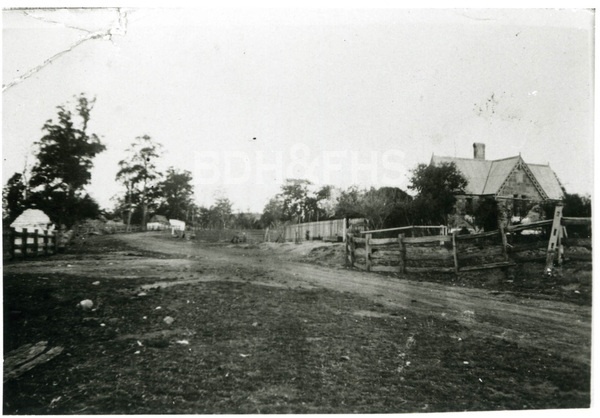
Werai’s railway gatehouse and former platform recall a small stopping place south of Moss Vale.
Explore nearby and connected places: Moss Vale · Exeter · Sutton Forest · Meryla
Werai through time
Railway, farms and the name Meryla
The locality’s earlier name connects it with a wider landscape. In a Society research presentation Philip Morton explained that Meryla was applied to a mountain, creek, valley and pass, and to a railway siding later renamed Werai. He drew on records in the Society’s collection and the work of Rachel Roxburgh and Janet Cosh.[5]
The railway from Moss Vale towards Marulan opened in 1868, with Werai the first stop after Moss Vale in the historical account prepared for the Australian Rail Track Corporation. The same assessment dates the surviving gatehouse to 1867. A gatekeeper’s residence belonged to the working infrastructure of a railway crossing, a reminder that the line relied on people living beside it as well as trains passing through.[4]
Werai’s passenger platform operated from 1883 until 1969. Its history therefore spans both the single-line railway and the later period of duplication. The gatehouse survives as a recognised local heritage place. It is a separate building from the former passenger facilities; researchers should distinguish the dates of each rather than use one opening date for everything at the site.[4]
A striking sale poster promoted a proposed Village of Meryla beside the railway platform, with a dense grid of streets and lots and the promise of a southern health resort. The platform was later called Werai. The poster gives Saturday 16 December without a year; its design shows what promoters offered, not that all the streets or buildings were constructed. Comparing the proposal with parish maps, deposited plans and later aerial photographs can reveal what changed.[7]
Schools and farming families
Werai also had a small school. The NSW education history records a provisional school from January 1912 to January 1915, followed by a half-time school partnered with Elmwood until July 1918. The changing classification is useful when looking for school records; consult the original education files for pupils, teachers and the precise school site.[6]
A later, separate school served farming families in eastern Werai. Former pupil Kathleen Pearce recalls that neighbours built Lutwyche Public School from bush-cut timber and corrugated iron on land donated by Steve Garbutt. It opened in 1943 with retired teacher John Caradice, who painted maps on its walls and floor for lessons. Pearce describes children walking to school, community maintenance and the school’s closure at the end of 1948. Her recollection is a starting point for checking the school’s official records and site.[8]
A July 1923 Southern Mail property-sales report records agent N. T. Cox and Co. reporting sales of a 114-acre Werai property for M. A. Clout to W. J. Sheil, and another 580 acres near Werai for W. E. Hore to J. McFarlane. These reported transactions offer names and dates for further title research; the newspaper does not identify the surveyed boundaries in this account.[9]
Browse local photographs linked to Werai
Explore the Society’s photographs for sale
Read the landscape
19th century
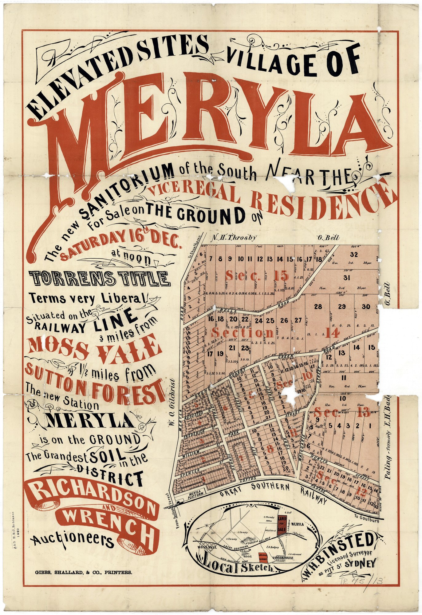
Proposed Village of Meryla beside the railway
The poster offers a grid of proposed lots beside Meryla platform, later known as Werai, and advertises a sale on Saturday 16 December. The year is not printed on this copy or supplied in the Library’s list. The depicted streets and blocks are an advertised proposal, not proof that the village was built.
State Library of New South Wales, Z/TP/M5/13, digital image FL20550713; surveyor W. H. Binsted, auctioneers Richardson & Wrench.
The State Library’s subdivision-plan guide says the plans are out of copyright and may be shared with acknowledgement.
Browse maps and plans linked to Werai
Newsletter Mentions
Stories about Werai in the Society’s newsletters.
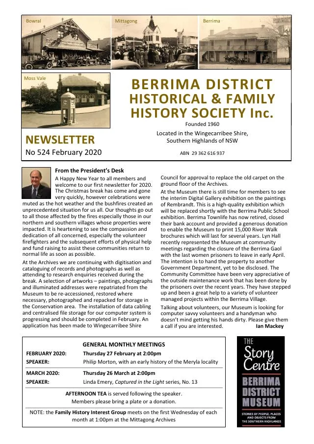
February 2020
- Philip Morton introduces research into Meryla and Werai, and the Society celebrates member Judith Green’s centenary (p.3).
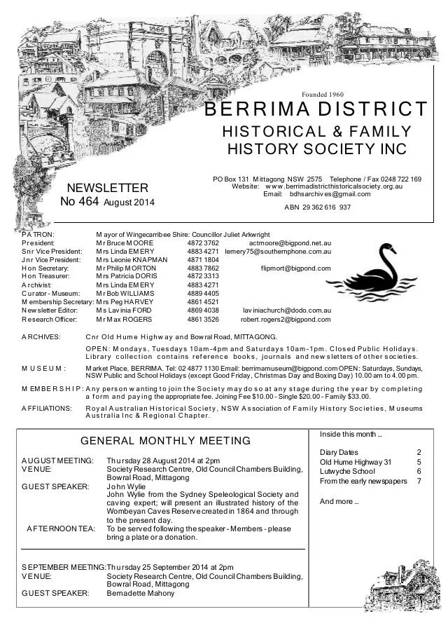
August 2014
- Former pupil Kathleen Pearce recalls Lutwyche Public School at Werai, built by farming families and operating during the 1940s (p.6).
Further research
There is more to discover about Werai in the Society’s archives and in other collections. A catalogue entry may lead to material that has not been digitised or needs to be consulted in person.
- Ask the Society’s research centre about local files, photographs and records.
- State Library of NSW collections - search photographs, maps, manuscripts and local publications.
- NSW Historical Land Records Viewer - search historical land records, plans and parish maps by place or parcel.
Sources already connected with this place include:
- NSW Department of Education historical school records: Werai
- State Library of NSW: Village of Meryla subdivision plan, Z/TP/M5/13
- Southern Mail, 24 July 1923, p.2: reported Werai property sales
The Society can undertake professional research at $40 per hour. Contact the research centre to discuss your question and request a quote.