Discover Burradoo
Burradoo’s landscape holds stories of racing, schools and the older Bong Bong district, between Bowral and Moss Vale.

Explore nearby and connected places: Bong Bong · Moss Vale · Bowral
Burradoo through time
Land, subdivision and early names
Older place names need care. The Society’s street-history research records the Oxley brothers using Village of Burradoo for a subdivision that became Bowral. That earlier use should not automatically be assigned to the boundaries of modern Burradoo.[11]
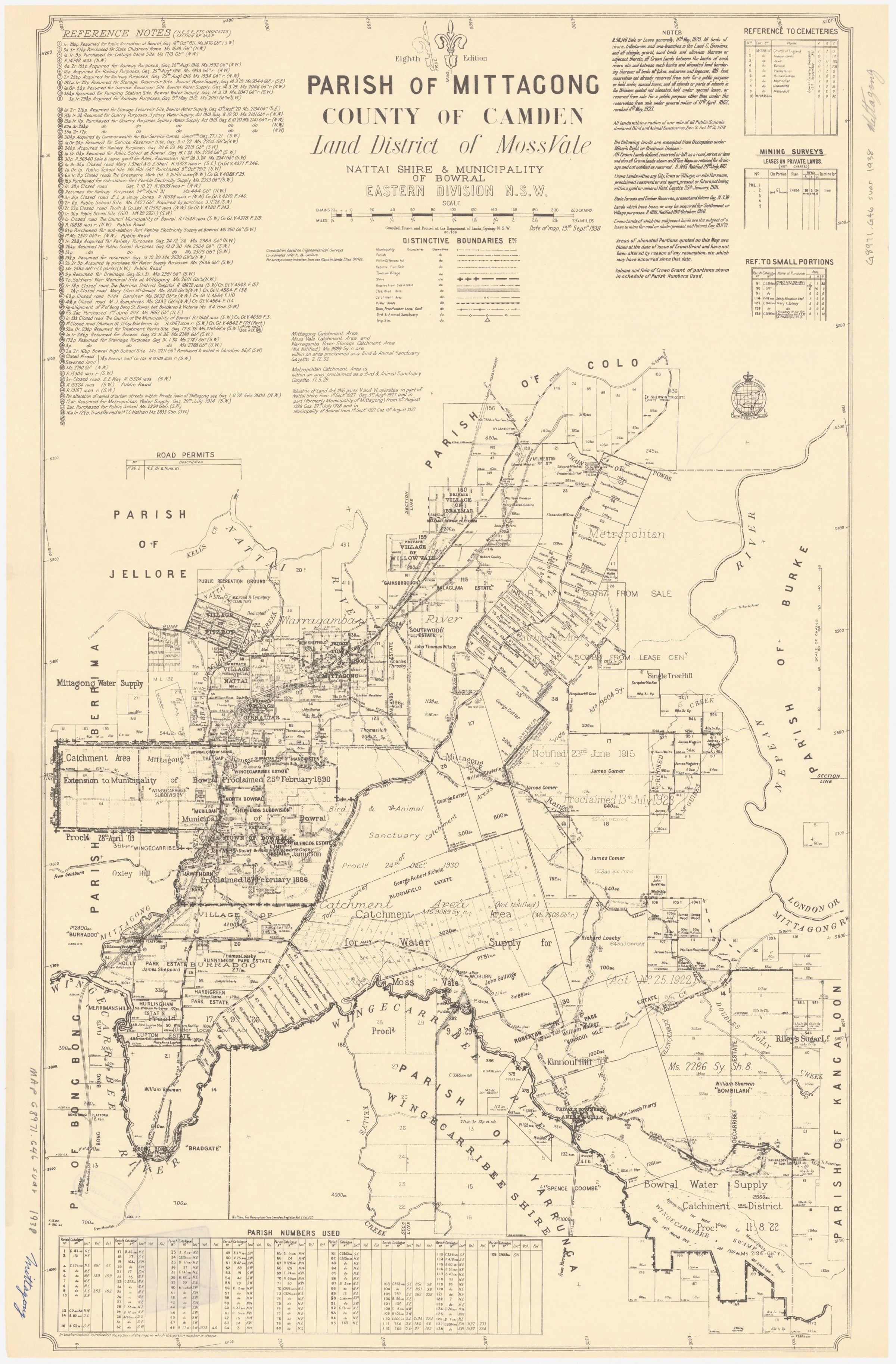
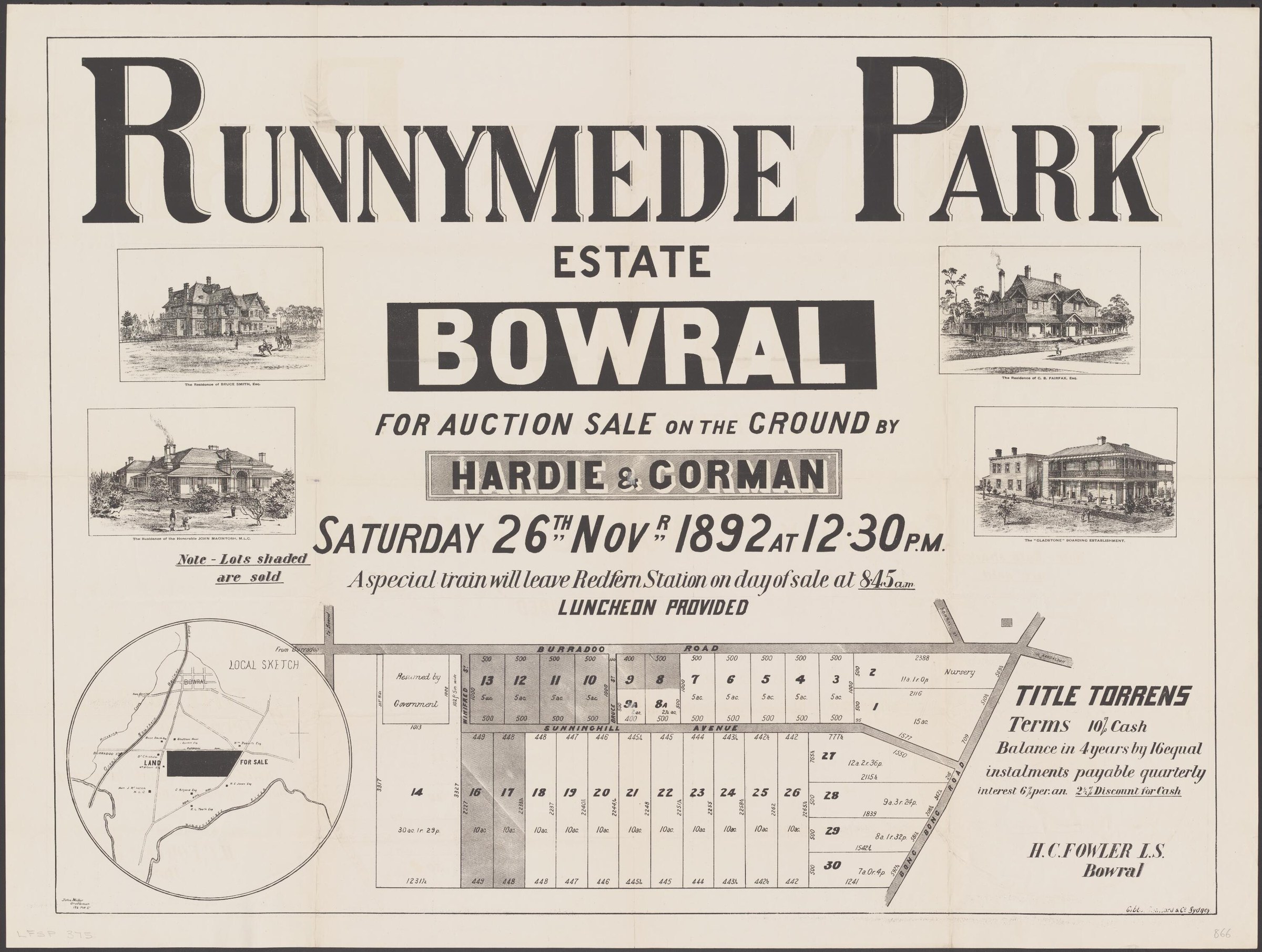
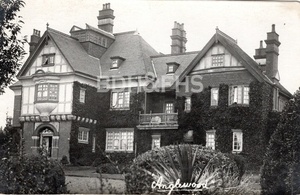
Subdivision plans trace changing offers of land in Burradoo. The State Library’s catalogue lists Holly Park villa sites offered on 17 December 1881, Orville Estate’s five building blocks on part of Holly Park in 1923, and Anglewood Estate lots in 1935. These catalogue entries identify proposed offerings, not completed sales; the original plans and title records are needed to establish individual lots and ownership.[16]
Garden history is part of Burradoo’s local character. A 2012 heritage walk drew on Society research and identified Riverside Park, Camaroo, Elvo at Oxley College and Patchway among its stops. The report provides names to pursue in garden and property records.[13]
Decorative design adds another layer to Burradoo’s house histories. Linda Emery describes an original ceiling design for Trelm, Burradoo, by Harold Archibald “Archie” Homann, a London-trained decorator who settled in Bowral in 1913. The design was donated to the Society’s archives by his granddaughter, alongside copies of other work; the article does not establish whether this particular design was executed.[15]
Schools, sport and service
The locality also has a substantial educational history. The NSW government-school dataset records Anglewood operating from October 1943 to December 1993 and notes its earlier name, Burradoo Truant. Such institutional records should be read alongside the experiences of the children who lived and studied there.[12]
Burradoo was one of the homes of the Bong Bong Picnic Race Club. A Society history places the course at Normans Paddock, also called Old Meadows, west of the Bowral-Moss Vale Road near the Eridge Park Road turnoff. Meetings were held there during the early twentieth century, and the original club’s last meeting took place in 1930. The shaded picnic lawns were part of a social occasion as well as a race meeting.[10]
Burradoo’s First World War history includes care for returning servicemen. Michele Woods describes an album from Burradoo Convalescent Hospital (Fairholme) in the Society museum’s Southern Highlands 1200 exhibition, with photographs of nursing staff, patients and daily activities. The same display brought together Red Cross objects and material associated with local nurses. The album offers a starting point for researching the hospital and the people who worked or recovered there.[17][18]
Burradoo was among the communities associated with Bowral’s war memorial, unveiled in January 1920. A Society retrospective reports that people of Bowral, Glenquarry and Burradoo erected it.[14]
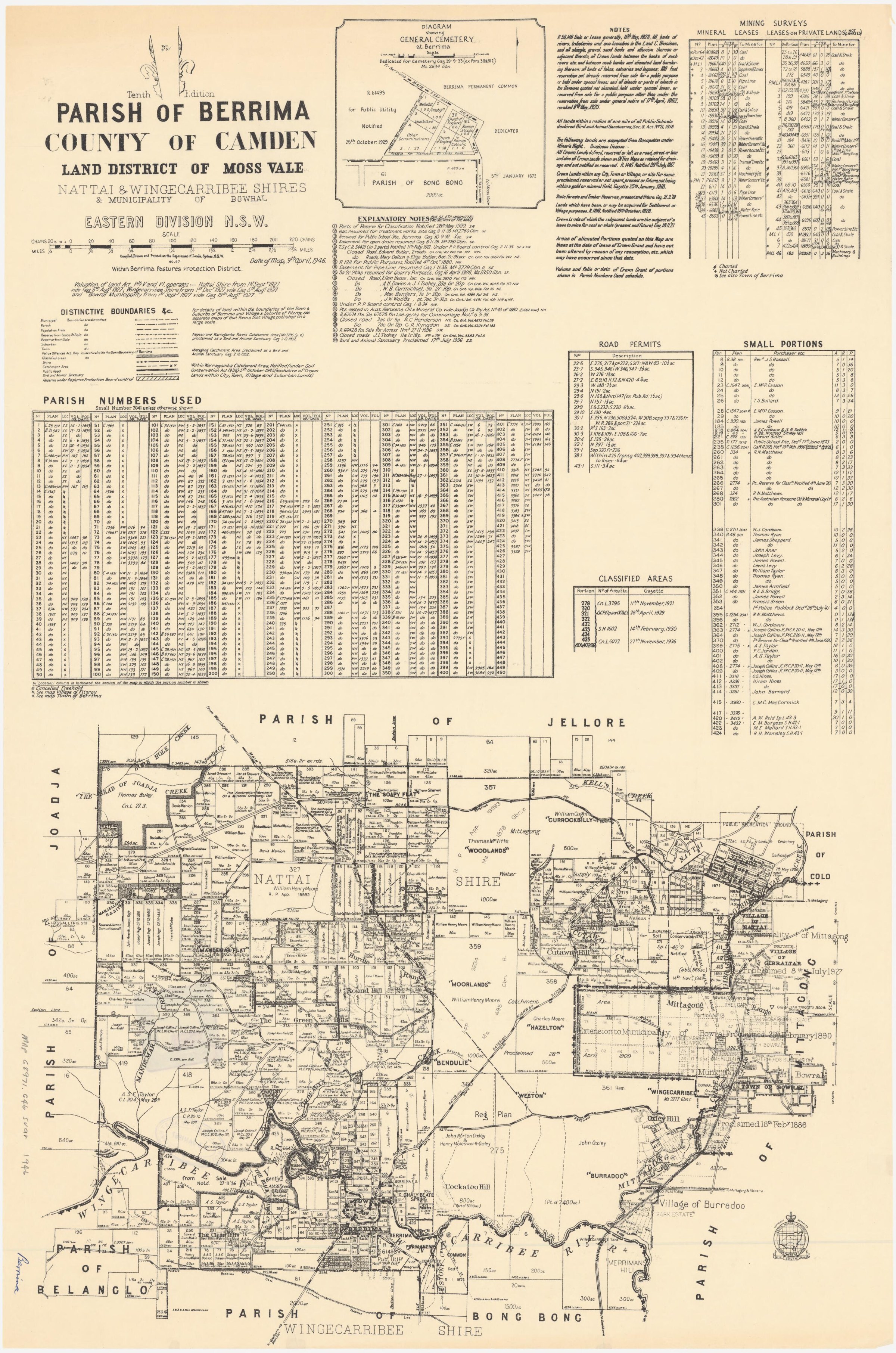
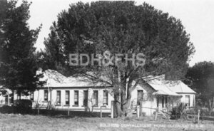
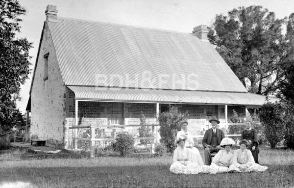
Photographs from the Society’s collection
Select a photograph to find it in the Society’s image library, where copies are available to purchase.
Browse local photographs linked to Burradoo
Explore the Society’s photographs for sale
Read the landscape
1881
Catalogue lead; the original plan has not yet been inspected.
Holly Park villa sites
The Library lists Holly Park villa sites for 17 December 1881, with Wingecarribee, Osborne, Holly, Government and Sullivans roads among the identified boundaries. The original plan has not yet been inspected.
Related places: Burradoo
State Library of New South Wales, Burradoo subdivision plans, Z/TP/B16/2.
Consult the State Library about the original plan and its availability.
1917
View the annotated extract on PDF page 156; the full original plan needs inspection.
Golf Links Estate subdivision extract
The inspected extract shows proposed numbered allotments, the route from Moss Vale, and a direction to Burradoo station. The heritage study circles the site it identifies as Kiamala. It attributes the plan to the 1917 Golf Links Estate subdivision; consult the full plan and land records for complete boundaries and sales.
Related places: Burradoo, Bowral
State Library of NSW Bowral subdivision plans, reproduced in Wingecarribee Community Heritage Study, Burradoo evidence sheets, PDF page 156.
Follow the link to the heritage study; check the State Library’s original and reuse conditions before reproducing.
1923
Catalogue lead; the original plan has not yet been inspected.
Orville Estate, part of Holly Park
The Library lists five building blocks offered on 17 November 1923, bounded by Osborne, Sullivan and Holly roads. The original plan has not yet been inspected.
Related places: Burradoo
State Library of New South Wales, Burradoo subdivision plans, Z/TP/B16/17.
Consult the State Library about the original plan and its availability.
1935
Catalogue lead; the original plan has not yet been inspected.
Anglewood Estate subdivision
The Library lists this plan for 25 May 1935, with Boodgery Street, Yean Street, Nerang Street, Burradoo Road and Main Road among its boundaries. The original plan has not yet been inspected.
Related places: Burradoo
State Library of New South Wales, Burradoo subdivision plans, Z/TP/B16/10.
Consult the State Library about the original plan and its availability.
Browse maps and plans linked to Burradoo
Newsletter Mentions
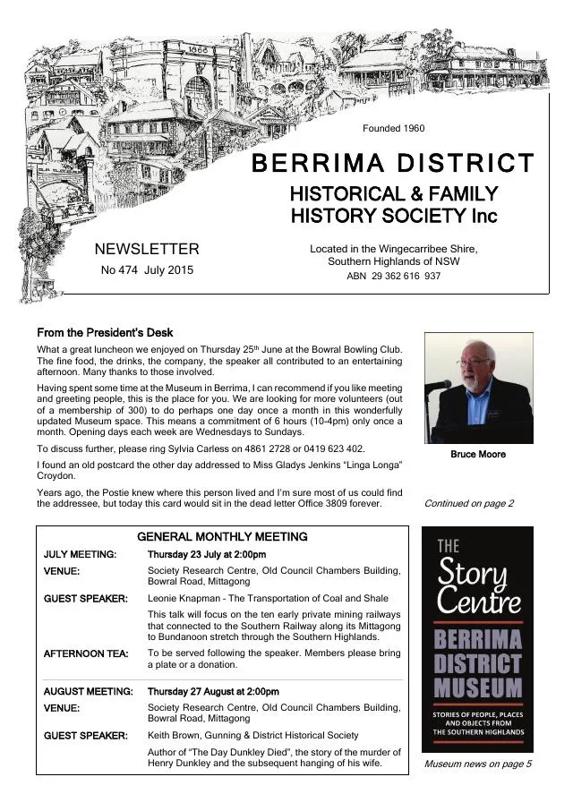
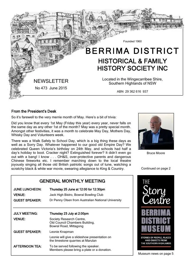
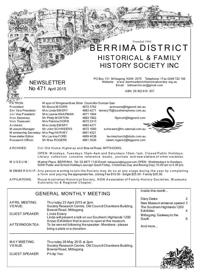
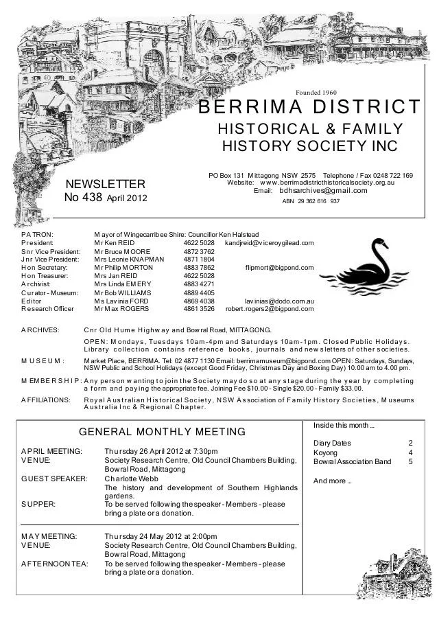
Stories about Burradoo in the Society’s newsletters.
April 2015
- Linda Emery describes the Southern Highlands 1200 exhibition, local families and wartime convalescent homes at Burradoo, Moss Vale and Exeter (pp.4-5).
April 2012
- Society news includes a Burradoo garden-history walk and reports on archives and museum collections (pp.2-3, 7).
Books in our Library
These catalogue titles mention Burradoo. Check the linked catalogue and ask the Society about access.
- 'Gowan Brae' 14 Charlotte Street, Burradoo, N.S.W., Home of Henry Richard (Harry) May & Jeannie Mathieson and their chil (2014) - catalogue p. 28
Further research
There is more to discover about Burradoo in the Society’s archives and in other collections. A catalogue entry may lead to material that has not been digitised or needs to be consulted in person.
- Ask the Society’s research centre about local files, photographs and records.
- State Library of NSW collections - search photographs, maps, manuscripts and local publications.
- NSW Historical Land Records Viewer - search historical land records, plans and parish maps by place or parcel.
Sources already connected with this place include:
- NSW Department of Education: historical schools dataset
- State Library of NSW: Burradoo subdivision plans, Holly Park, Orville and Anglewood
- Parish of Berrima, tenth edition, 1946, National Library of Australia
The Society can undertake professional research at $40 per hour. Contact the research centre to discuss your question and request a quote.