Discover Bowral
Bowral’s streets hold stories of railway arrivals, civic ambition, music, shops and gardens. The town grew quickly after the railway reached the Highlands in the 1860s.
The 2021 Census counted 10,764 people in the ABS suburb and locality of Bowral.[73]
Explore nearby and connected places: Mittagong · Moss Vale · Berrima
Bowral through time
Country, farms and the railway town
Bowral’s story begins before the town itself. Wingecarribee’s heritage overview places the Southern Highlands on the traditional lands of Gundungurra and D’harawal people and dates European settlement in the broader district from about 1820. The arrival of the Main Southern Railway in the 1860s then brought a period of rapid growth for Bowral, Mittagong and Moss Vale: an important turning point, but not the beginning of the area’s history.[19][21]
Bowral’s station precinct changed as the town around it changed. An expanded platform and station building were recorded in 1892, with a separate stationmaster’s residence completed in the early 1890s. An overbridge was added in 1912 and a further platform for duplication in 1915. The residence remained in railway use until it was sold in the 1990s.[36]
The countryside around the new town was productive as well as scenic. Dairying changed from farm butter-making to cream separation and refrigerated milk transport, linking everyday work on surrounding properties with wider markets beyond the Highlands.[22]
A civic centre takes shape
Bowral’s early public life gathered around learning and meeting places. The School of Arts began in a room behind the Grand Hotel in 1873, then moved into a purpose-built Bendooley Street building opened in 1885. Its lending library, meetings and entertainments made it a civic centre: an 1887 committee meeting recorded competing requests for skating, music practice, a ball and a flower show. The library eventually became municipal in 1947.[41]
Commercial buildings followed. In 1884 the Commercial Banking Company of Sydney opened new premises at Bong Bong and Merrigang Streets: an Italianate brick building designed by Mansfield and built by J. J. Campbell, with a public banking room, strongroom and residential rooms. The Society records that it was demolished in 1960 and replaced, while the contemporary description and photographs preserve a detailed view of the changing commercial streetscape.[54]
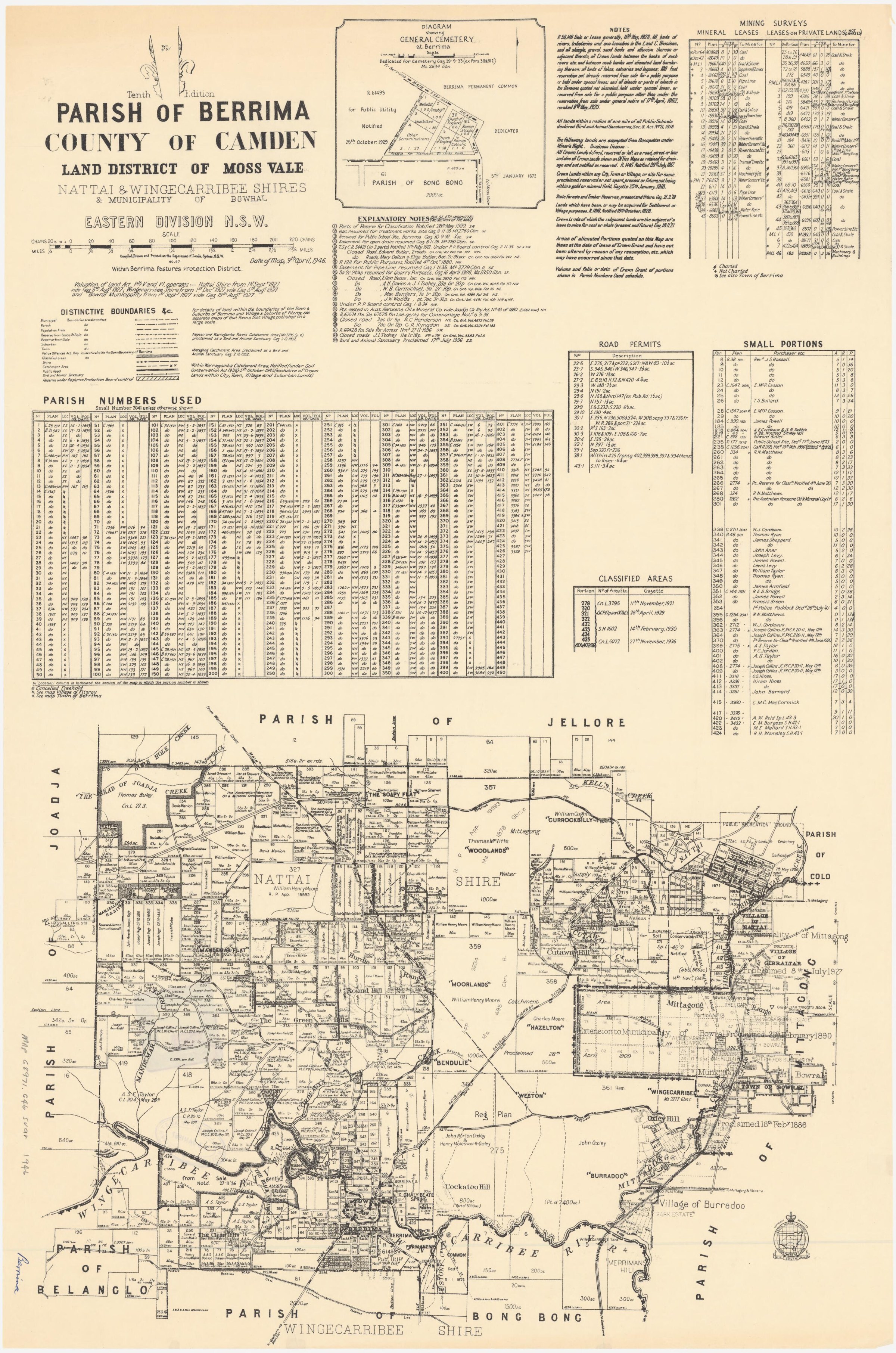
Land was being planned and marketed at the same time. The State Library lists the Broomfield Estate plan dated 31 March 1883 and the Extension of the Township of Bowral plan dated 7 November 1885. They identify proposed subdivisions, streets and estate names; the plans should be read with later land records before treating every advertised allotment as a completed development.[30]
The first municipal institutions emerged from this growth. Before incorporation, a residents’ Vigilance Committee petitioned for services including a post office and court. Philip Morton’s account traces the 1885 incorporation petition, the first municipal election and the choice of J. L. Campbell as mayor in 1886. Bowral Town Hall opened in Bendooley Street in January 1890.[34]
Builders gave the new streets their physical character. Linda Emery follows Charles Grove and his sons through early Bowral, including public and commercial buildings and the terrace houses at 18-20 Merrigang Street, advertised for rent in 1886. Their buildings remain part of the story of how the town’s streets took shape.[31]
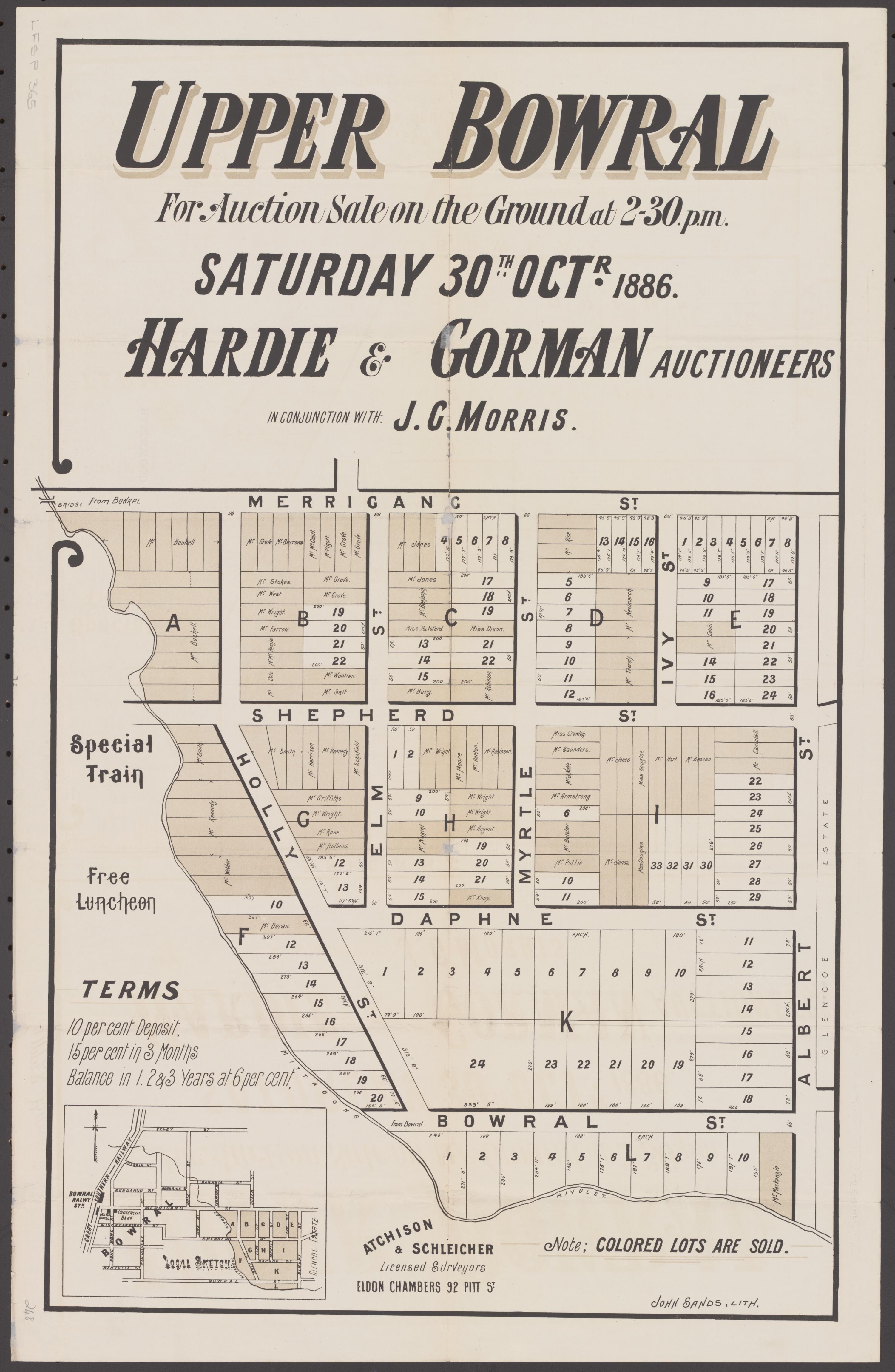
The Glencoe Estate auction poster of 1886 shows how that expansion was sold to prospective residents. It maps proposed blocks and streets around Merrigang and Shepherd streets, offers instalment terms and even advertises luncheon at the auction. The Council heritage study connects the narrow Merrigang Street allotments with a pattern still visible in the streetscape, although the poster alone cannot prove which blocks sold.[32]
Estates, homes and a growing townscape
Private estates and substantial homes stood alongside the new civic buildings. Architect and businessman Randolf Nott bought former Oxley land on Mount Road and the neighbouring houses Fairview and The Mount, built in the 1870s. Fairbanks followed in 1882 and Hillside in 1885; Fairview burned in 1909. His story opens a path into the individual sites and ownership changes behind Bowral’s built heritage.[24][55]
A cottage at Victoria Street and Mittagong Road shows how subdivision reached ordinary family homes. The land passed from the Oxley Estate through an 1880s subdivision by Patrick Lindesay Crawford Shepherd and a later four-block subdivision by William Star Rays. Charles McDonald bought one lot in 1895 and built a family home; it remained in his family until 1988.[35]
West of the railway, Arrankamp combined rural work with hospitality. The estate passed from John Frederick Holle’s 1880 purchase to Nellie Brenan’s guesthouse and working farm. In 1923 a notice offered residential lots as well as the house and business; Brenan continued living and working there until her death in 1945, and the land later became part of a golf course.[42][43]
At Eridge Park, an 1888 Bowral Free Press report described Robert Lucas Tooth’s property near the Bong Bong River: a windmill and steam pump lifted water to tanks and a large reservoir, while underground pipes supplied the grounds, ornamental gardens and residence. The account captures the scale of estate improvements beside the river.[50]
Bowral’s commercial centre also developed around banks. The English, Scottish and Australian Bank opened a branch at Bong Bong and Wingecarribee Streets in 1892, with a banking chamber below and a manager’s residence above. The branch closed in 1900; the Government Savings Bank acquired the building in 1912, and it became a Commonwealth Savings Bank branch after the 1931 merger. Its use between 1900 and 1912 remains uncertain in the Society account.[45]
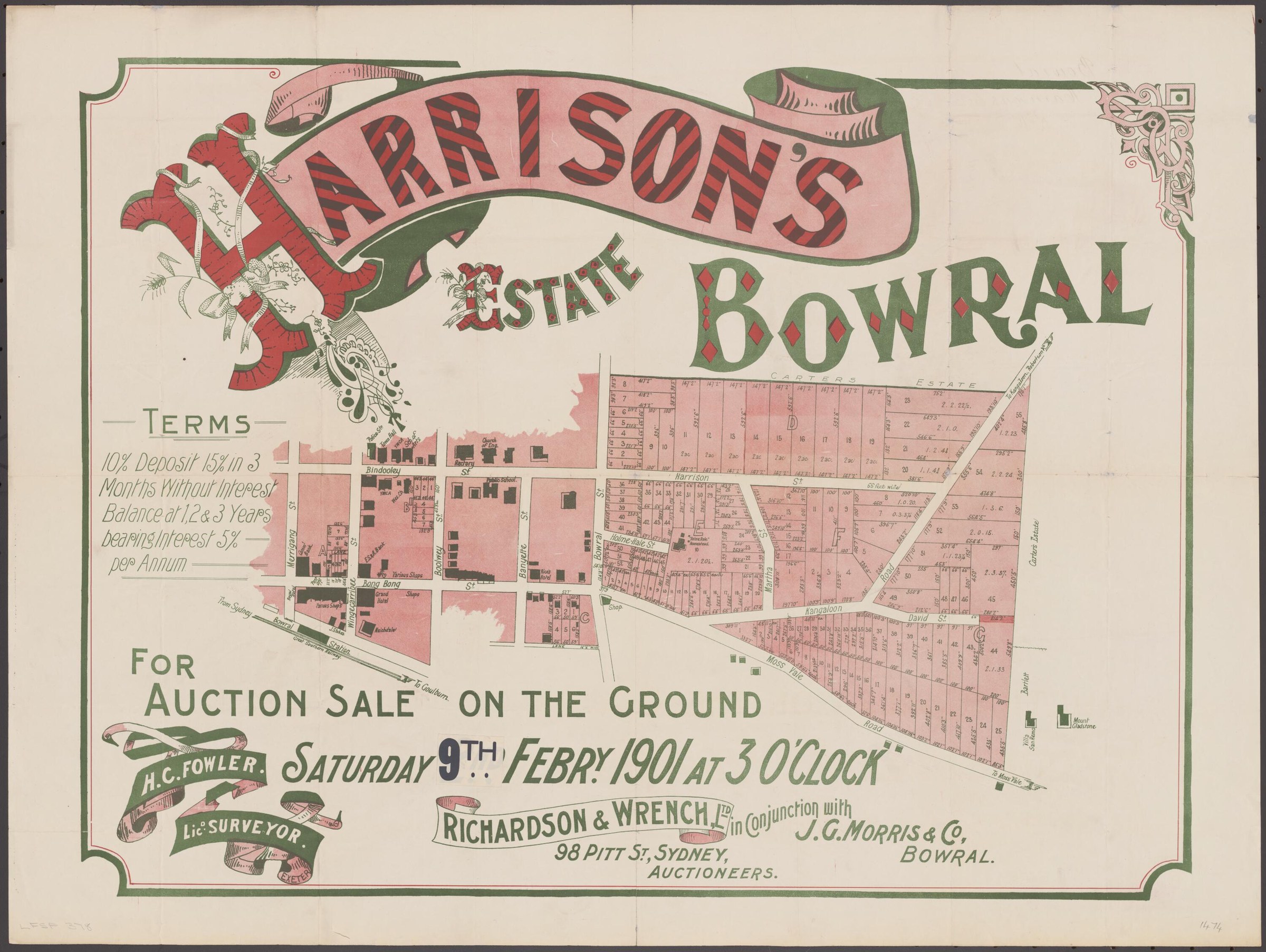
The town’s proposed growth remained visible in sale plans. Harrison’s Estate, advertised in 1901, plotted numbered lots and streets east of the centre against the railway, existing buildings and roads towards Moss Vale and Kangaloon. Its printed purchase terms show how land was marketed, and the plan preserves the intended shape of that expansion.[62]
The Glebe subdivision posters of December 1921 and January 1922 show a later phase of expansion around St Jude’s Church. Their lots, streets and proposed park sit within a residential layout whose covenants and later development are discussed in the Council heritage study. Comparing both plans with later maps and titles can follow particular properties through time.[33]
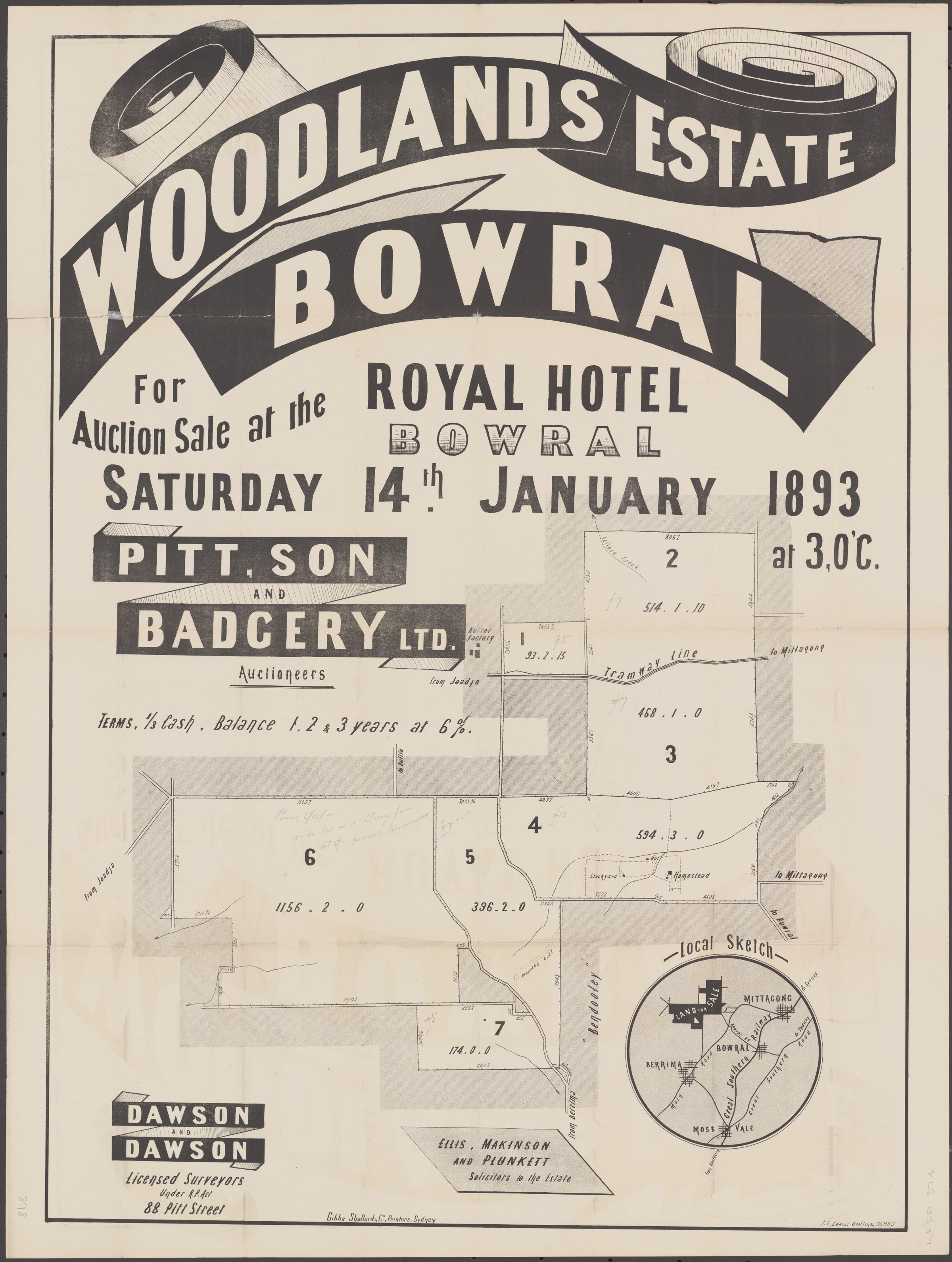
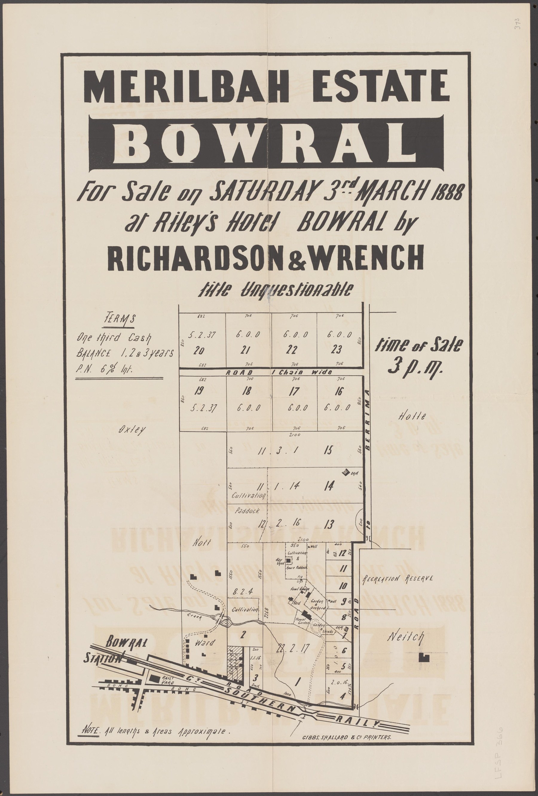
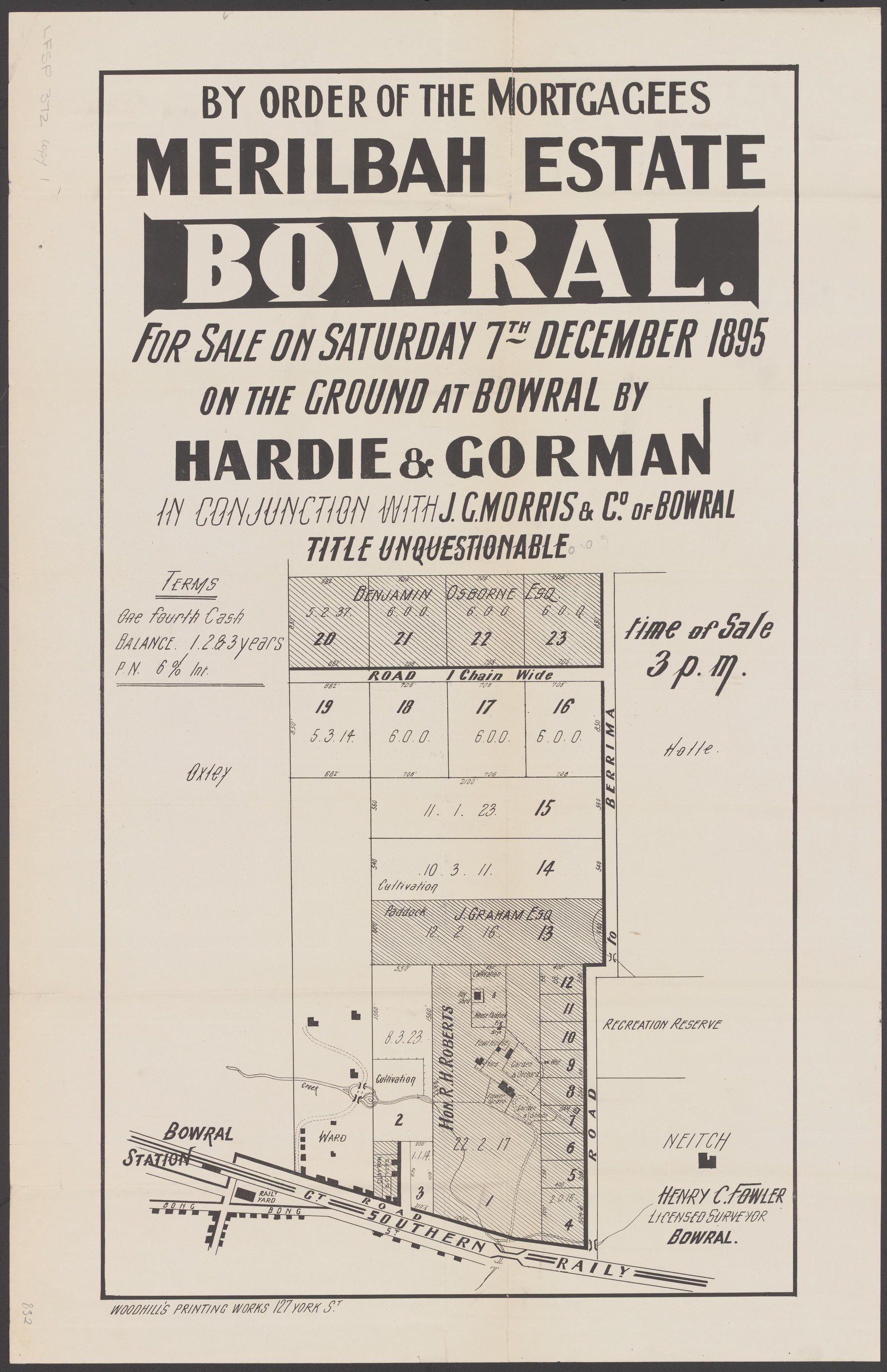
Merilbah provides an especially detailed record of land being offered and re-offered. An 1888 auction poster plotted 23 lots beside Bowral station, the railway and the road to Berrima, with homestead, garden and orchard marked. A 1895 mortgagee-sale poster showed a similar layout with some areas shaded and named. The 2009 heritage survey records the later purchase of the property in 1904 by the Sisters of Our Lady of the Sacred Heart for a convent.[64][65][70][71]
The State Library lists a further Merilbah plan dated 1886. Read beside the digitised 1888 and 1895 posters, it records the changing pattern of parcels around the estate.[66]
Contemporary advertisements put the offering in context. On 21 February 1888 the Sydney Morning Herald advertised about 128 acres for auction at Riley’s Hotel on 3 March, either as one holding or subdivided; a later notice described an offer in one or 23 lots. On 14 March the Bowral Free Press reported that Richardson and Wrench had sold Merilbah House and grounds to R. H. Roberts for £3,510.[67][68][69]
Entertainment changed with the town. The Empire Cinema opened on 15 September 1915, following the Painter family’s earlier picture-theatre venture, and its building hosted films, live shows and roller skating. Sound equipment was installed under Sue and Percy Weedon, with The Jazz Singer screened in 1930. Projectionist Clive Speechley worked the earlier film equipment. In 1973 Stan and June Street remodelled the building with a smaller upstairs cinema and shops at street level; it later became a multi-screen complex.[23][44]
Work, music and community life
Quarrying on Mount Gibraltar connected Bowral to building projects far beyond the Highlands. Commercial quarrying expanded from the 1880s under operators including Loveridge, Hudson and the Pope family; hard, dangerous work sent large trachyte blocks to the railway for monuments, public buildings and infrastructure. The account also traces changing building practices and local concern about blasting as quarrying declined.[53]
Kurkulla, on the western slope of Mount Gibraltar, took another role in the district’s life when it opened as a boys’ boarding and day school under principal J. Lee Pulling in 1891.[26]
Bowral’s children’s library grew from an interdenominational committee of women and a relationship with St Jude’s and the later municipal library. Its story shows how education and reading were built through local cooperation as well as formal institutions.[27]
Architect Verton Bruce Smith, born in Bowral in 1899, was linked to the remodelling of the former School of Arts as a memorial hall. Dennis McManus’s account follows his career and the alteration of a building that had already served generations of readers and community groups.[28]
The town’s civic record also survives through people. Walter Joseph Osborne, Bowral’s first town clerk and an assistant conductor of the local orchestra, became the subject of a Society family-history investigation that places his municipal work within a wider family story.[29]
By 1895, Bowral Court House stood among the buildings associated with Alfred Stephens and his sons. Later work distinguished two immigrants named Alfred Stephens in the 1886 shipping records, then traced the elder man’s building business and the tools the family left behind.[38]
Auctioneer and merchant John George Morris was both a businessman and civic leader. His Bong Bong Street mart, involvement in the Vigilance Committee and council, and the 1890 fire that destroyed his former emporium all belong to the story of Bowral’s commercial centre. The auctioneering firm was rebuilt and continued after his death in 1891; a 1914 streetscape photograph still shows its name on a shopfront.[39]
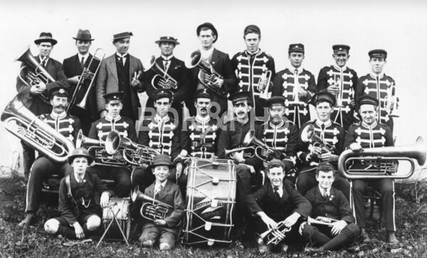
Music bound the town together across the district. The Association Band grew from a Young Men’s Association decision in 1894 and early performances under George Vincent, with Christmas carols around Bowral and Burradoo, combined performances with Mittagong musicians, the 1914 opening of the Corbett Gardens band rotunda and music for returning soldiers. Its 1944 jubilee booklet records continuation through the Second World War and closure in 1976.[52]
George Ernest Vincent connected Bowral, Mittagong and Moss Vale as bandmaster, teacher, composer and organist at St Jude’s. He helped establish the Bowral Choral Society, and the Society archives hold several of his handwritten scores alongside reports of local performances and the bands that played at his 1932 funeral.[57]
The Bowral Choral Society added concerts and theatre. Founded in 1921, it staged early productions at the School of Arts and performed in neighbouring centres. The 1939 bushfires destroyed its records, but photographs, programmes and press clippings survived; performances resumed after the war, later moving to musicals at the Memorial Hall, while former members helped establish the Highlands Theatre Group in 1994.[56]
The Berrima District Ambulance Service grew through local organisation and fundraising. A provisional committee formed in 1929, an initial station operated at Venables Corner and a purpose-built Bong Bong Street station opened in 1933. Ambulance officers, families and community groups raised funds, including through the Moss Vale Goodwill Ladies’ saleyards canteen; the service later joined regional administration and moved to the Bowral hospital grounds in 2004.[58]
Family papers preserve the small-business side of this history. The Stokes family’s upholstery and bedding firm also conducted funerals, while sisters Betty and Peggy Stokes ran a separate soft-furnishing business. Their surviving collection includes school records, photographs and evidence of commissions beyond the district.[59]
Newspaper extracts also record one member of Bowral’s Chinese community. In 1896 local papers reported the death of a resident named Chong Fong or Jong Fong, his admission to the district hospital and a funeral attended by Chinese relatives and community members. The reports differ on age, spelling and some details, leaving his story in the town’s record without forcing those differences into a single answer.[60]
Charlie Jackson brought motoring into Bowral’s business life. He opened a Morris dealership garage in 1927 and competed in Berrima District Automobile Club events. Society research records a 1930 Southern Mail report of Eva Jackson’s hill-climb performance and the couple’s joint reliability-trial win in 1931, showing that the garage and the competitive driving were a family enterprise.[25][51]
A silver and timber shield in the Society’s collection tells a different story of Bowral sport. It was presented to carpenter and guest-house proprietor William David Moore after his pigeon won the 1923 Mildura race, flying a reported 468 miles home to Bowral. The birds were taken to the starting point by train, and the Bowral Homing Society presented the shield at a masquerade ball in the Empire Theatre.[72]
War, memory and Bowral in modern times
The First World War left both a public memorial and individual family stories. Bowral’s war memorial, built in trachyte, was unveiled on 30 January 1920 after contributions from Bowral, Glenquarry and Burradoo. A Society newsletter reproduces Red Cross Wounded and Missing Bureau testimony about Frank James Willis, a Bowral baker and artillery signaller killed in Belgium in September 1917; fellow soldiers tried to recover and bury the men after the fighting.[37][61]
Sport offered a different kind of shared occasion. Bowral’s first soap-box derby drew an estimated 800 people to Rose Street on 27 January 1947. The Apex Club organised it to raise money for Scout clubrooms, John Haylock won in the Silver Streak, and the races continued annually until 1952 before a later revival in Bowral and Moss Vale.[40]
Bowral was home to crime novelist Arthur Upfield, who moved there with Jessica Hawke in 1957, continued writing and died in Bowral in 1964. It was also the birthplace of Frank Debenham in 1883. He joined Scott’s 1910-13 Antarctic expedition as a geologist and later worked in geography and polar research at Cambridge; the Australian Dictionary of Biography adds detail about his childhood and career.[46][47][48][49]
Bowral’s civic record is unusually rich. The Wingecarribee Public Library Archives Collection holds Bowral Municipal Council minute books, valuation and assessment books, ratepayer and elector indexes, registers, a visitors book and material for the Municipal Library, Hall and School of Arts. These records make it possible to follow streets, public works, businesses and rateable properties without assuming that a modern address or boundary existed in the same form earlier.[20]
The 1991 heritage study identifies a conservation area mainly along Bendooley Street, where civic buildings and inter-war houses with large gardens form a recognisable historic precinct. It is one surviving layer of the town assembled through railway growth, estates, civic institutions, businesses and community life.[21]
More views of Bowral
Select a thumbnail to see the larger image. Captions and credits follow the available source records.
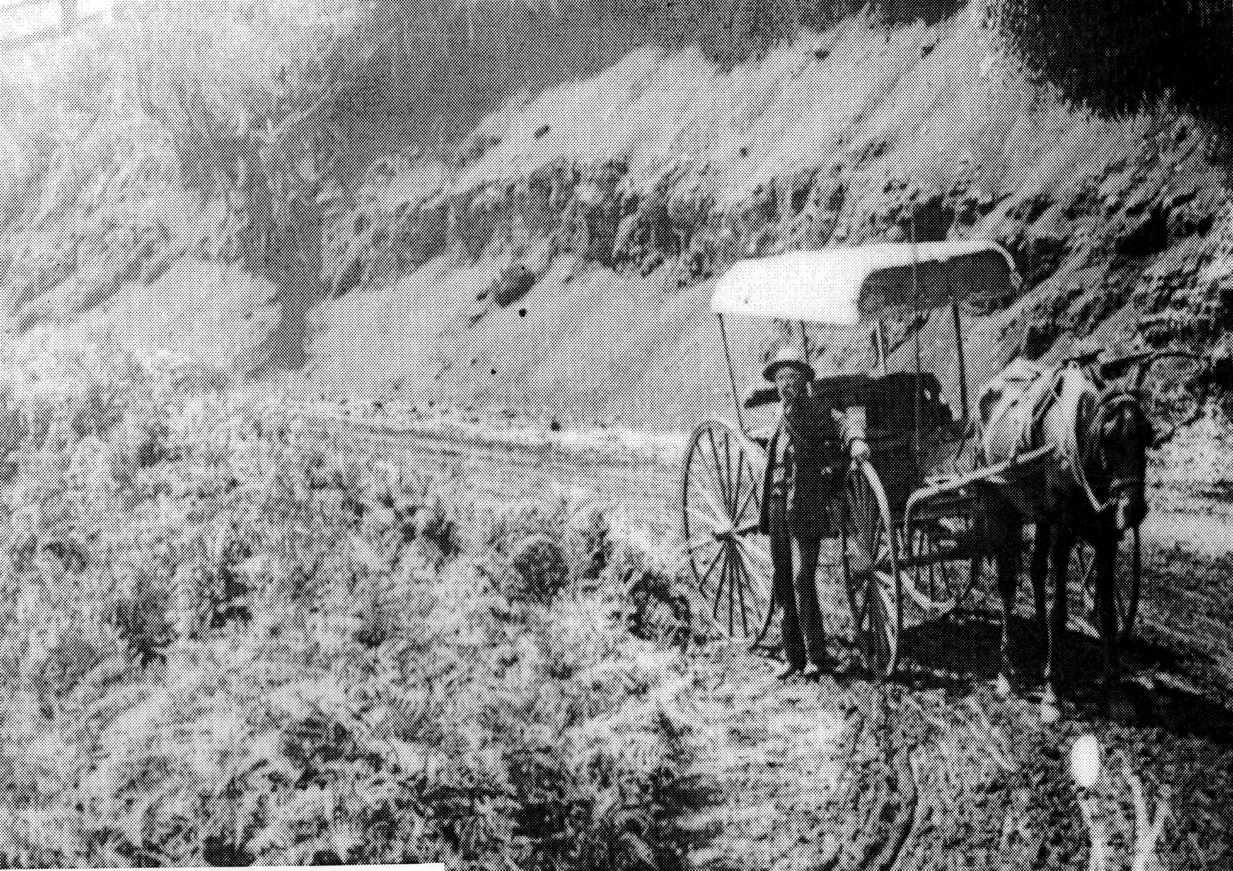
Browse local photographs linked to Bowral
Explore the Society’s photographs for sale
Read the landscape
1881
View figure 4 on page 15 of the linked conservation plan.
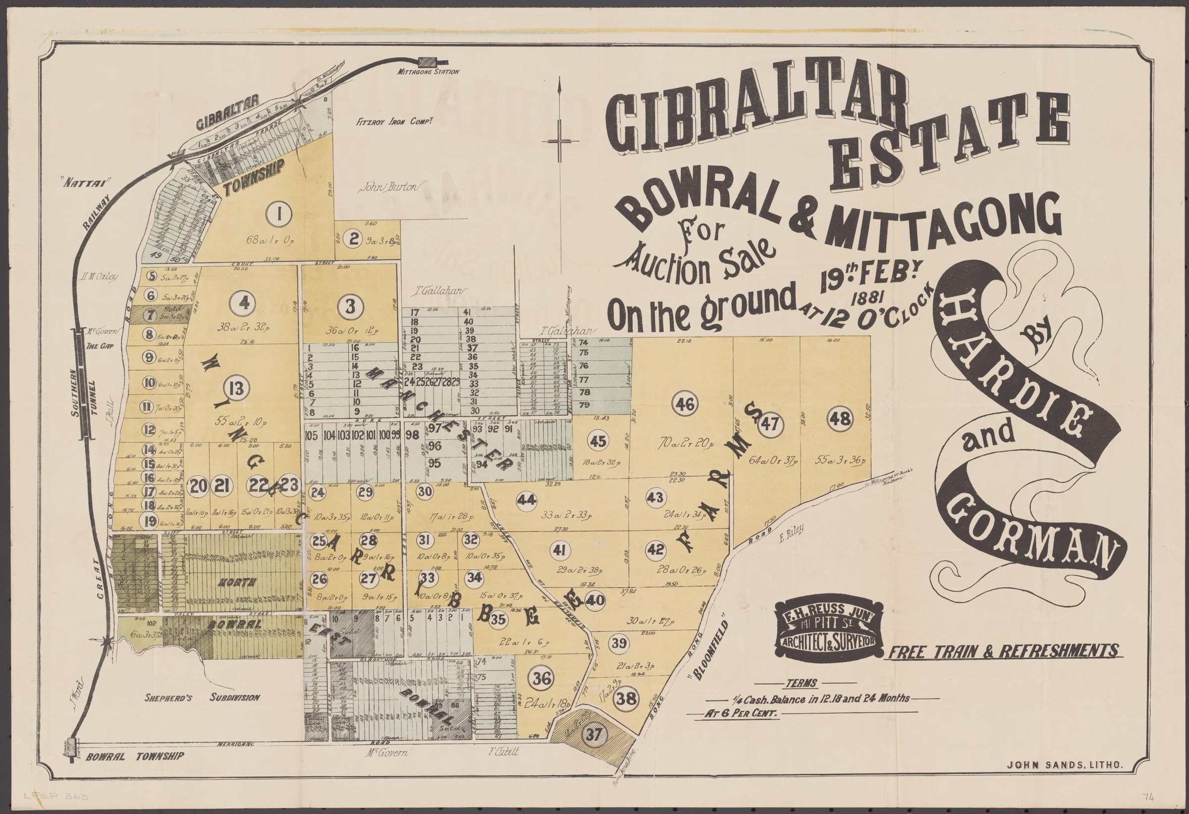
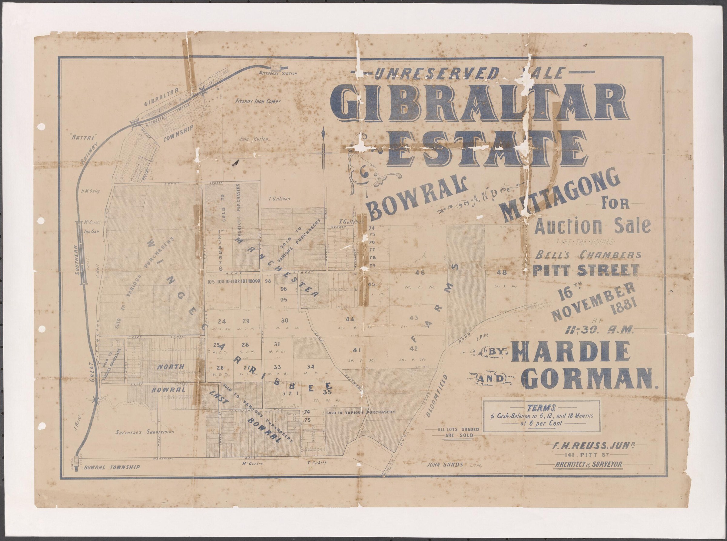
Gibraltar Estate auction plan and Shepherd’s subdivision
The poster advertises a 19 February 1881 auction for Gibraltar Estate, Bowral and Mittagong. The enlarged extract shows Mittagong Rivulet and Shepherd’s subdivision; the accompanying conservation plan traces part of the area through later ownership and dedication as a public reserve. The map shows lots offered for sale, not evidence that each was sold.
Related places: Bowral, Mittagong
1881 auction plan credited to the National Library of Australia, reproduced with an enlarged detail in the adopted Bowral Vietnam War Memorial and Cherry Tree Walk conservation management plan, figure 4, p.15.
View the reproduction in the Council conservation plan; confirm the National Library original and reuse conditions before reproducing it separately.
1885
See the poster on page 35 of the linked Council study.
Jamieson Hill Estate auction poster, Bowral
An illustrated sale poster offers lots along Merrigang, Shepherd, Prince and Bowral streets, with a special train and free luncheon. The Council study dates the poster to 1885; the plan records the proposed subdivision rather than completed sales.
Related places: Bowral
Richardson & Wrench; State Library of NSW subdivision plans, reproduced in Wingecarribee Community Heritage Study, PDF page 35.
The study reproduces the State Library copy; check the library’s item record for reuse conditions.
1886
See the original poster reproduced on page 37 of the linked Council study.
Glencoe Estate auction poster, Bowral
The illustrated poster advertises an auction on 27 February 1886 and shows proposed allotments and streets. Council identifies the Merrigang Street blocks between Albert and Macdonald streets as retaining the subdivision pattern. The poster advertises a sale; it does not itself prove the lots sold or were built on.
Related places: Bowral
J. C. Morris, auctioneer; State Library of NSW subdivision plans, reproduced in Wingecarribee Community Heritage Study, PDF page 37.
The study reproduces the State Library copy; check the library’s item record for reuse conditions.
1886
Find Merilbah at Z/TP/B13/26 in the linked list.
Merilbah, Bowral: estate plan
The State Library lists a Merilbah plan dated 2 January 1886 and refers to a government road. This catalogue entry identifies a map to compare with the 1888 and 1895 listings; the map itself has not been inspected.
Related places: Bowral
State Library of NSW, Bowral subdivision plans, Z/TP/B13/26.
Ask the holding library about access and reproduction conditions.
1901
View the plan extract on page 4 of the linked newsletter.
Harrison Estate subdivision: Holme Hale block
The reproduced extract shows the Holme Hale house block and neighbouring allotments around Bowral, Harrison, Martha and Holme Hale streets. The article describes the estate offered in 1901; examine the full original plan and title records before identifying particular sales. The State Library catalogues Harrison Estate plans Z/TP/B13/114 and /151 with 2 and 9 February 1901 sale dates respectively; the relationship of this extract to those individual copies remains to be checked.
Related places: Bowral
Subdivision-plan extract reproduced in Society newsletter 540, August 2021, p.4; original source and full plan to be confirmed.
View the extract in the newsletter; establish the original plan source and reuse conditions before reproducing it.
1917
View the annotated extract on PDF page 156; the full original plan needs inspection.
Golf Links Estate subdivision extract
The inspected extract shows proposed numbered allotments, the route from Moss Vale, and a direction to Burradoo station. The heritage study circles the site it identifies as Kiamala. It attributes the plan to the 1917 Golf Links Estate subdivision; consult the full plan and land records for complete boundaries and sales.
Related places: Burradoo, Bowral
State Library of NSW Bowral subdivision plans, reproduced in Wingecarribee Community Heritage Study, Burradoo evidence sheets, PDF page 156.
Follow the link to the heritage study; check the State Library’s original and reuse conditions before reproducing.
1921
See the poster on page 46 of the linked Council study.
Glebe subdivision auction poster, Bowral
The poster advertises the 3 December 1921 auction and shows the first Glebe subdivision around Boolwey, Church, Bowral, Edward and St Jude streets, with a proposed park. Council describes the residential covenants and later development.
Related places: Bowral
Raine & Horne with Davis & Westbrook; State Library of NSW subdivision plans, reproduced in Wingecarribee Community Heritage Study, PDF page 46.
The study reproduces the State Library copy; check the library’s item record for reuse conditions.
1922
See the poster on page 47 of the linked Council study.
Second Glebe subdivision auction poster, Bowral
The 28 January 1922 auction poster maps the second Glebe subdivision, including Church Street East and Bowral Street. Compare it with the preceding 1921 poster to follow successive land offerings.
Related places: Bowral
Raine & Horne with Davis & Westbrook; State Library of NSW subdivision plans, reproduced in Wingecarribee Community Heritage Study, PDF page 47.
The study reproduces the State Library copy; check the library’s item record for reuse conditions.
1923
Catalogue lead; the original plans have not yet been inspected.
Arrankamp subdivision, Bowral
The library lists Arrankamp plans for 24 March 1923 and records Centennial, Myosotis, St Clair and Baronia streets as boundaries. A Society newsletter describes a 1923 offering by Nellie Brenan. The original plans have not yet been inspected; check their relationship to the newspaper notice and any completed transfers.
Related places: Bowral
State Library of New South Wales, Bowral subdivision plans, Z/TP/B13/58 and Z/TP/B13/139.
Consult the State Library for access to the original plans and their reproduction conditions.
Browse maps and plans linked to Bowral
Newsletter Mentions
Stories about Bowral in the Society’s newsletters.
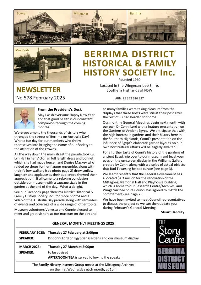
April 2024
- A profile follows writer Gwen Meredith’s radio serials The Lawsons and Blue Hills and her life in Moss Vale, Berrima and Bowral (pp.5-7).
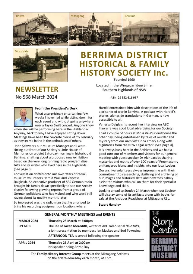
March 2024
- The centenary of Moss Vale Court House and a history of Bowral, Mittagong and Moss Vale police and court buildings feature across the issue (pp.4-6).
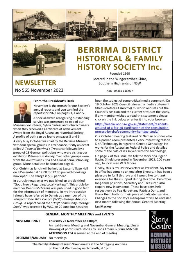
November 2023
- A donated pigeon-racing shield leads to the story of Bowral carpenter and guesthouse proprietor William David Moore and his 1923 Mildura race (p.7).
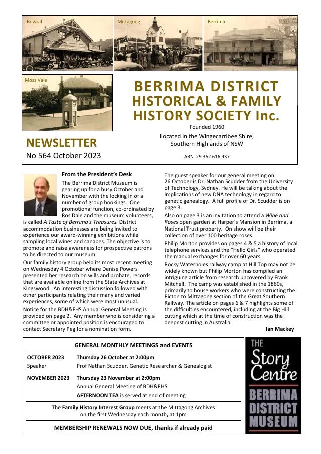
October 2023
- The local telephone history follows operators, automation and the Bowral assistance centre; read the Moss Vale correction in issue 566, page 2 (pp.4-5).
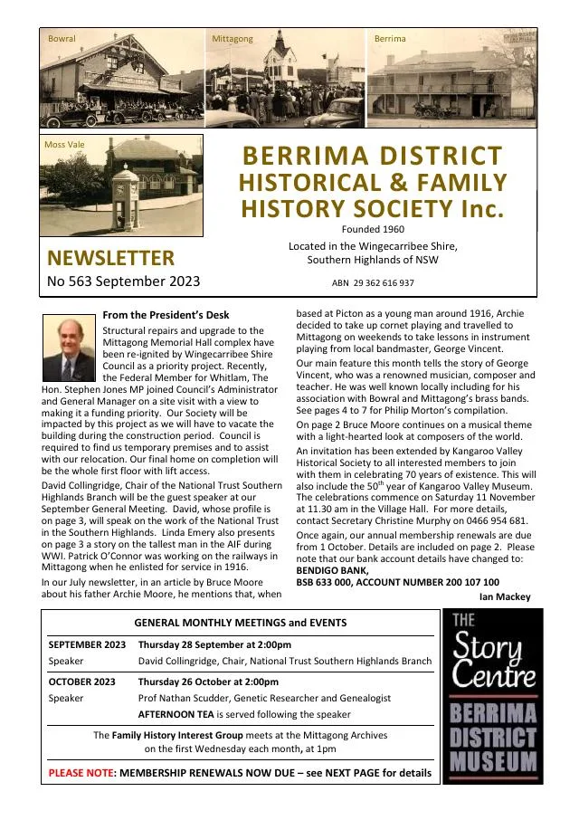
September 2023
- Philip Morton traces musician George Vincent’s family, compositions and work with the Mittagong and Bowral bands and St Jude’s church (pp.4-7).
April 2023
- Bowral’s Vigilance Committee and the development of the municipality are traced using A. V. Parry’s historical articles (pp.4-5).
March 2023
- Linda Emery profiles Sylvania Boardman, elected to Bowral council in 1934, and her family’s business at Boardman’s Corner (p.5).
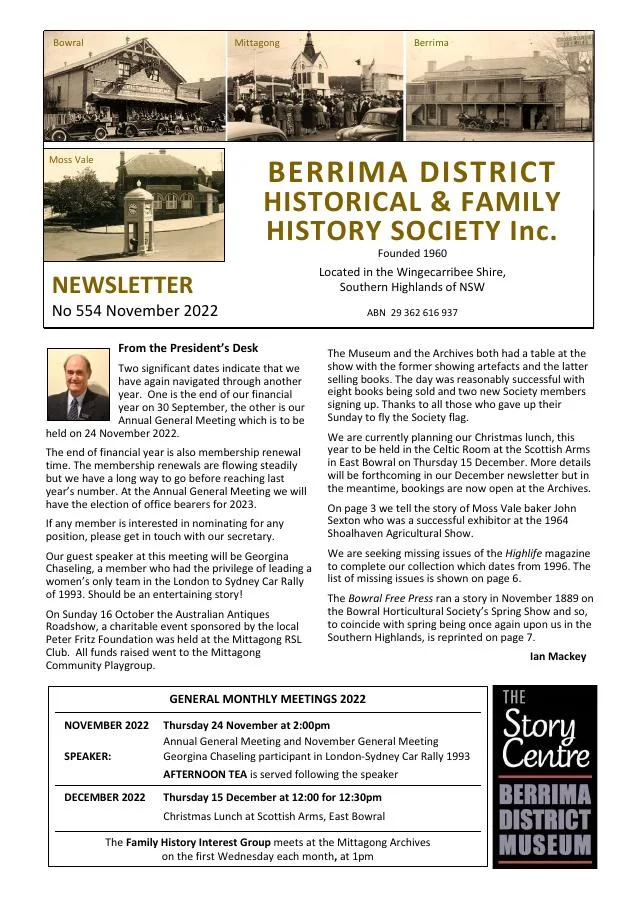
November 2022
- A Bowral Free Press account describes the Horticultural Society’s 1889 spring flower show at the School of Arts (p.7).
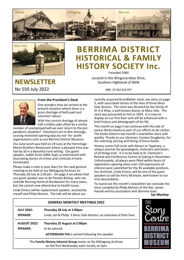
February 2022
- A historic photograph helps research Bowral station’s 1935 terraced camellia plantings (p.3).
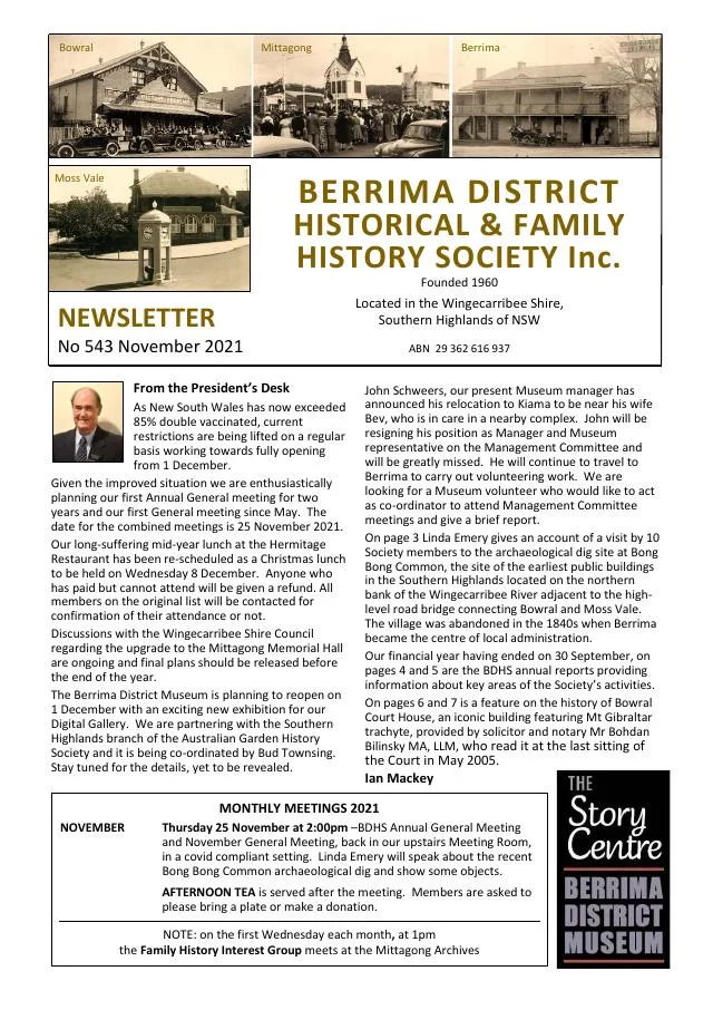
November 2021
- A history of Bowral Court House describes earlier court venues, its architecture and legal practice (pp.6-7).
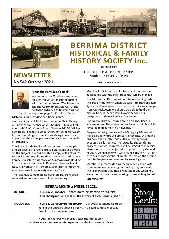
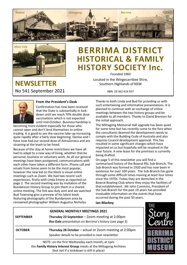
September 2021
- The story of Holme Hale and Tor Lodge continues into the history of Bowral’s RSL Sub-Branch (pp.5-7).
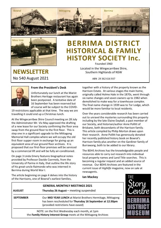
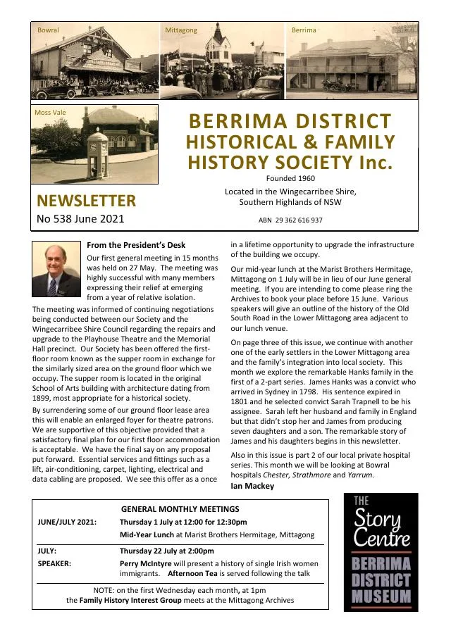
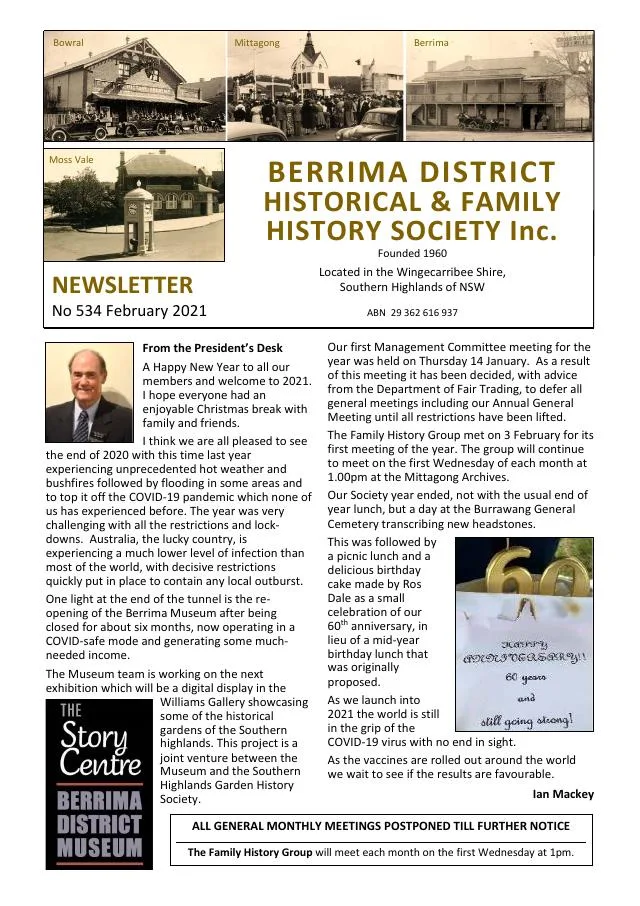
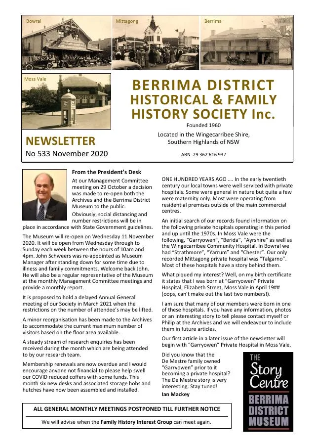
November 2020
- Bowral railway station’s official residences and the lives and duties of stationmasters are explored (pp.6-7).
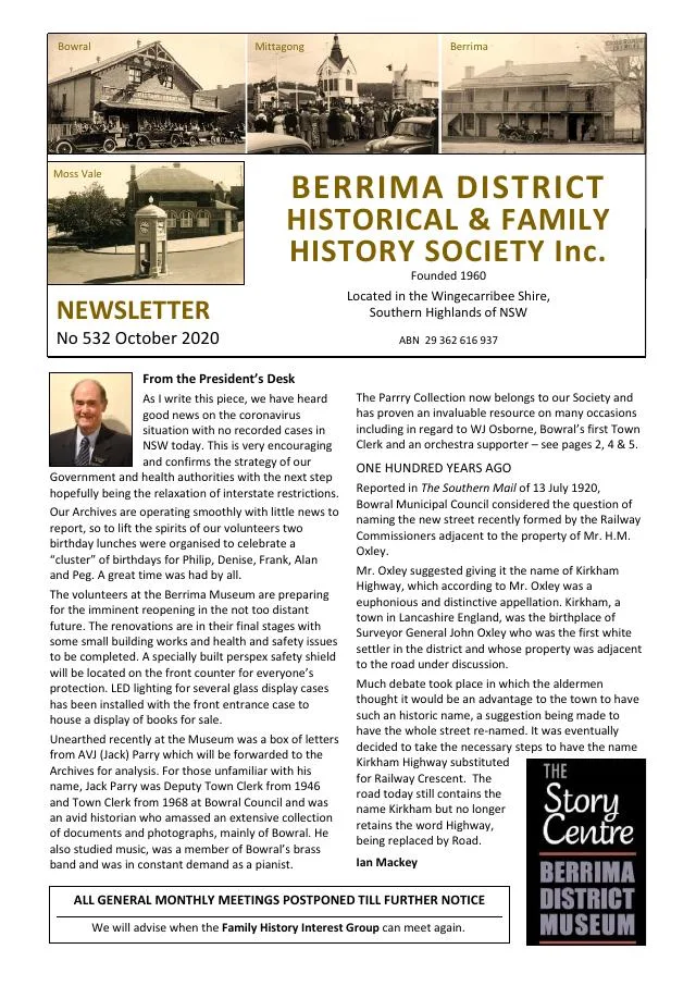
September 2020
- The opening of Bowral’s war memorial and the development of the Moss Vale memorial are recalled (p.5).
July 2020
- The president recalls early Bowral water-supply proposals and introduces a new vice-regal history (p.3).
- The Pritchett family account follows Arthur’s district connections and departure from Bowral in 1896 (p.5).
- A history of local newspapers traces the Scrutineer and the Bowral Free Press and their publishers (pp.6-7).
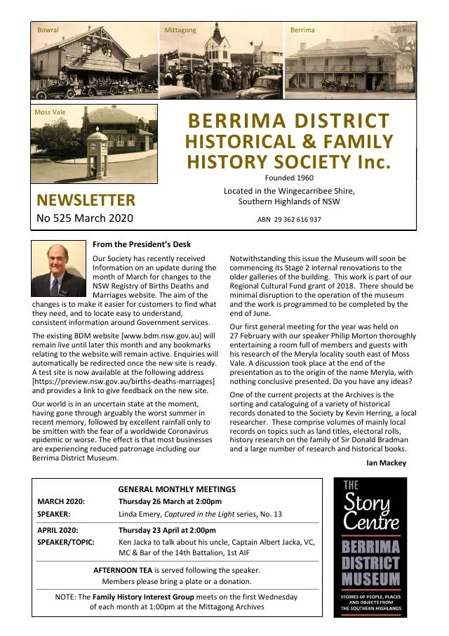
March 2020
- Dennis McManus traces Bowral-born architect Verton Bruce Smith and his work (p.4).
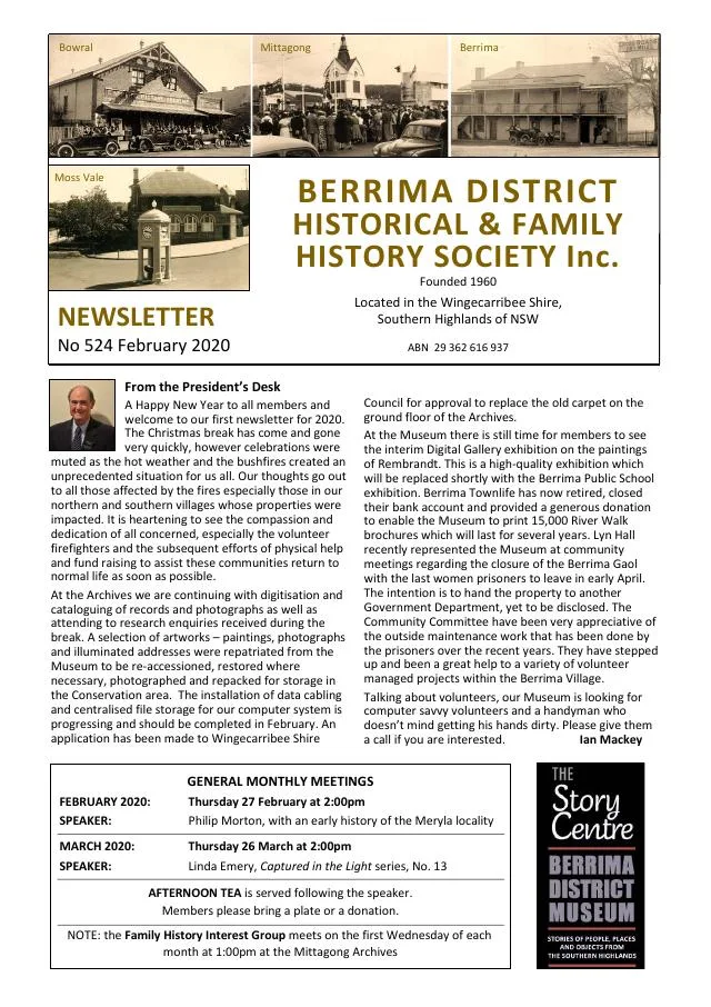
February 2020
- Linda Emery traces a Newton-annotated Principia Mathematica through its Bowral connection; another article follows Archduke Franz Ferdinand’s 1893 Moss Vale visit (pp.4-5).
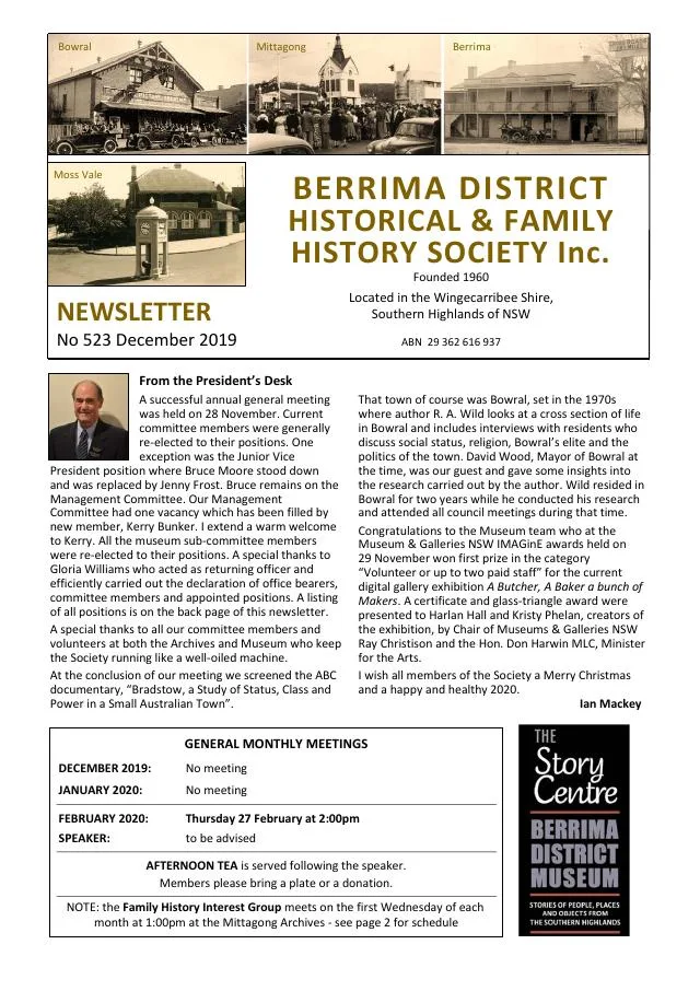
December 2019
- The Chapman brothers’ histories continue alongside John George Morris’s Bowral business and local government work (pp.5-7).
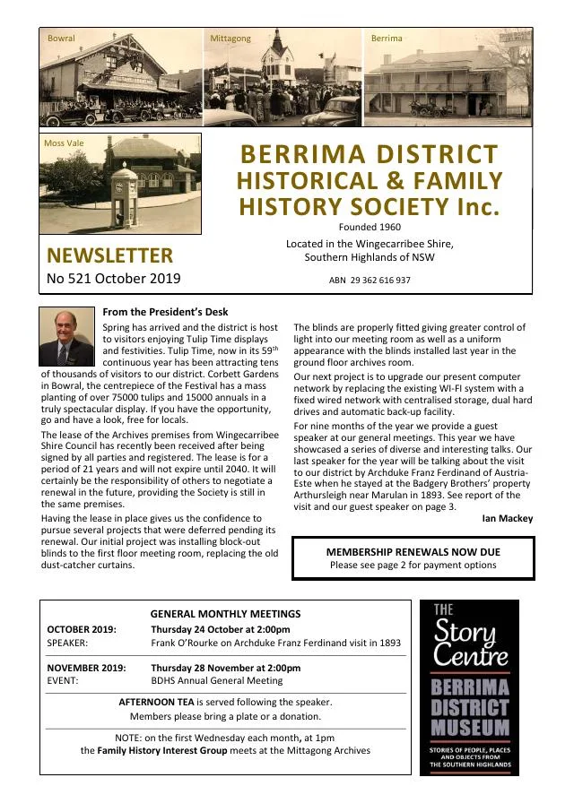
October 2019
- The issue profiles Bowral business pioneer John George Morris and traces Bradman Oval and its pavilion (pp.5-7).
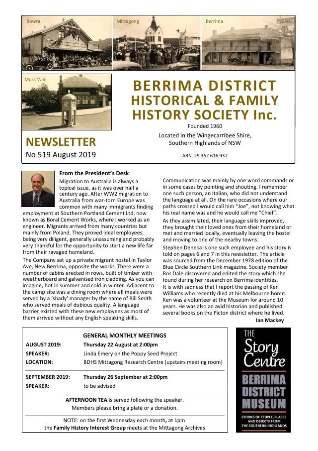
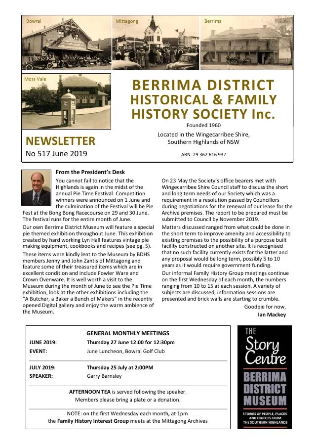
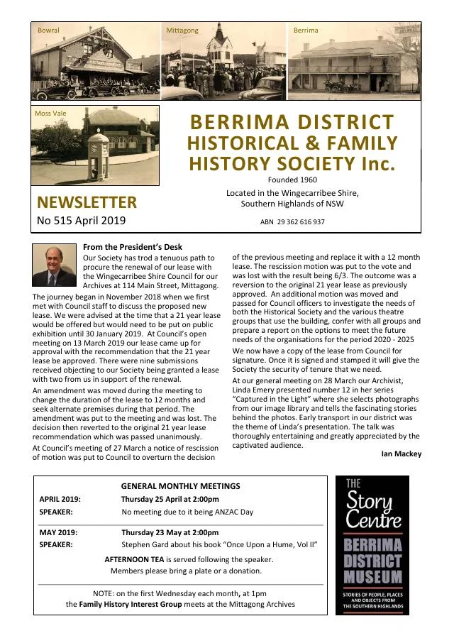
April 2019
- The history of Don Bradman and Bowral’s Bradman Oval is introduced (p.4).
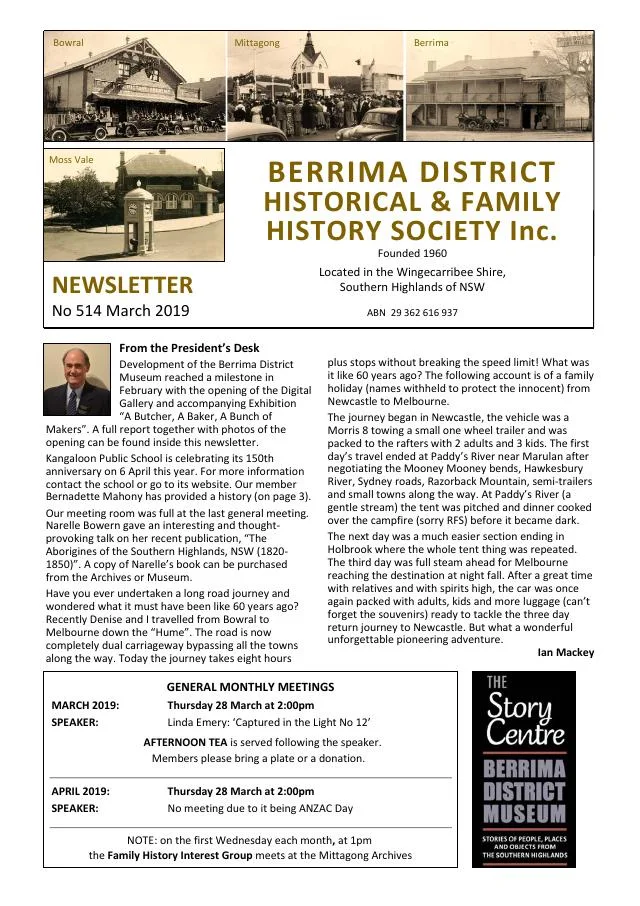
March 2019
- The issue includes memories of Moss Vale Public School, historical newspaper writing for women and Bowral’s first local soap-box derby in 1947 (pp.5-7).
April 2018
- A family sampler’s journey and a visit to Moss Vale’s Anglican rectory precede the conclusion of the 1886 Bowral railway collision account (pp.5-7).
March 2018
- The exhibition presents Throsby Park and the work of builder Alf Stephens; a separate article begins an account of the 1886 Bowral railway collision (pp.5-7).
December 2017
- A 150-year railway retrospective traces the opening of Mittagong, Bowral and Moss Vale stations in 1867 (p.7).
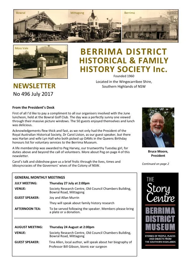
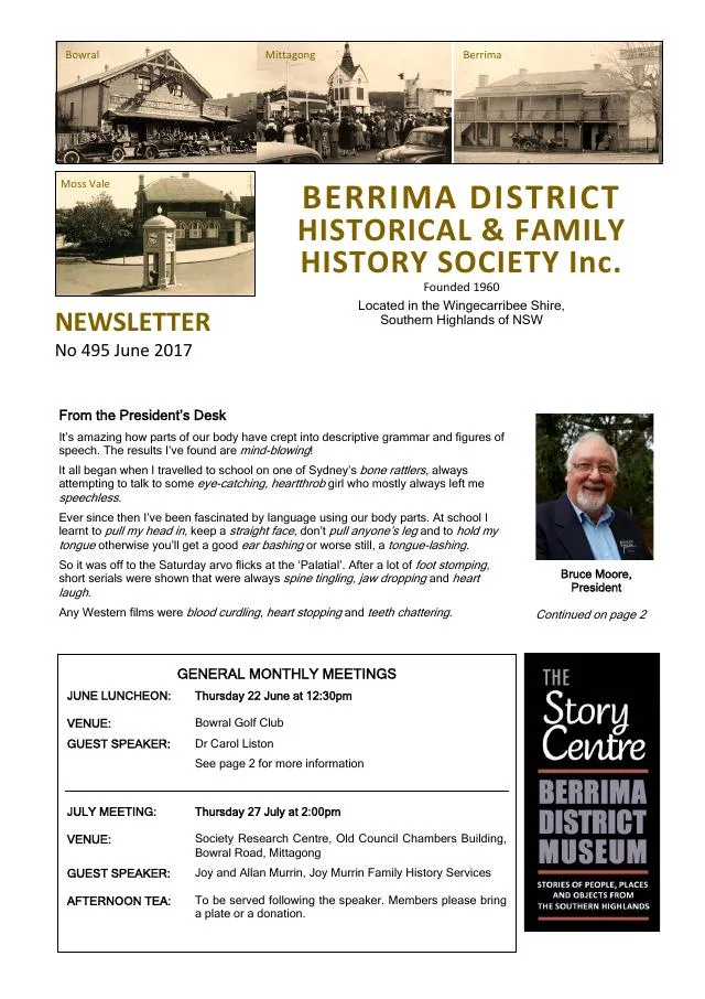
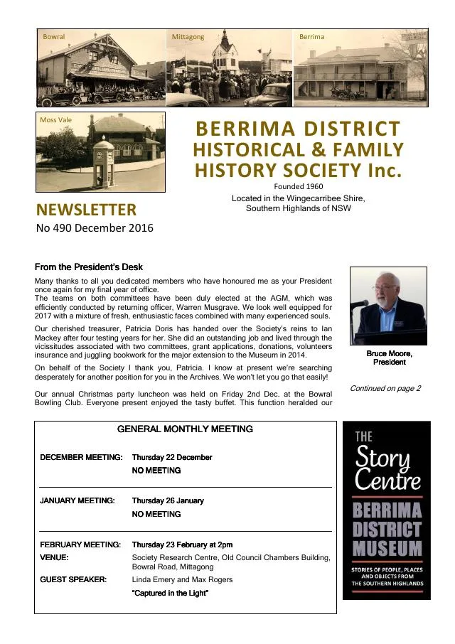
December 2016
- Family research describes Bowral’s early school and teacher John Westlake Warren (p.6).
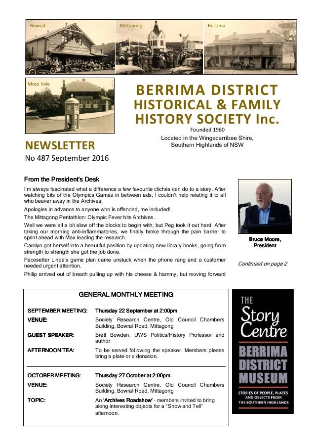
September 2016
- Philip Morton traces John Frederick Holle’s Arrankamp estate at Bowral, its sale advertisements, new residence and later leasing by Catherine Holle (p.6).
December 2015
- Historic newspaper extracts report on the town clocks at Bowral, Moss Vale and Mittagong (p.7).
November 2015
- The issue introduces A Place of Deep Gullies, a Bundanoon history, and reprints Bowral and Wingello newspaper extracts (p.7).
September 2015
- The archives report a grant to digitise 1899 Wombeyan Caves photographs, indexing of Berrima police occurrences and a Bowral Choral Society collection (p.3).
- Philip Morton traces Bowral’s Empire Picture Theatre from silent films and its 1915 opening through later projectionists, owners and renovations (pp.4-5).
March 2014
- Philip Morton traces crime novelist Arthur Upfield’s life and his later years in Bowral with Jessica Hawke (pp.5-6).
November 2013
- Linda Emery uses a donated photograph to trace Bowral-born Antarctic geologist and geographer Frank Debenham (p.3).
April 2013
- Philip Morton follows Bowral bandsman Bert Stokes’s service and death at Gallipoli, reproducing contemporary reports and a letter (pp.4-5).
February 2013
- A Moss Vale Fleeton family photograph and a separate unidentified Bowral portrait offer family-history leads (p.3).
August 2012
- The issue introduces Tallong research on Patrick Hill’s Caoura and Bosworth estates and documents Bill Oldridge’s Bowral saddlery workshop (pp.3, 6).
April 2012
- Philip Morton traces the Bowral Association Band from the 1890s through community performances, wartime service and its later years (pp.5-6).
February 2012
- A Bowral Free Press account describes the Commercial Banking Company’s new 1884 Bowral building, followed by archive photographs of other district branches (pp.6-7).
October 2011
- A feature introduces Randolf Nott’s Bowral houses, including Fairview, The Mount, Fairbanks and Hillside (p.4).
August 2011
- Philip Morton follows Bowral Choral Society from its 1921 foundation through concerts, musicals and later theatre activity (pp.6-7).
April 2011
- A report introduces Bowral Library’s local studies room and its historical council and newspaper resources (p.7).
January 2011
- An overview traces libraries at the Schools of Arts in Moss Vale, Mittagong and Bowral and their later integration into the Wingecarribee Library Service (p.6).
November 2010
- Philip Morton traces the Berrima District Ambulance Service from its 1929 Bowral station and community fundraising to its later regional administration (p.6).
September 2010
- Philip Morton’s dairy-industry tribute to Joe Ford describes farm butter-making, railway transport, cream separators and Bowral milk shipments to Sydney (p.4).
- The article follows the Fresh Food and Ice Company’s Nattai depot and later Bowral factory, and the emergence of farmer-owned butter operations (p.5).
- The account describes the Berrima Co-operative Rural Society, its Bowral factory and acquisition of local milk processing, and the Dairy Farmers factory at Moss Vale (pp.5-6).
August 2010
- Linda Emery describes the donated Stokes family collection and Bowral furnishing businesses (p.6).
October 2009
- The Society remembers museum volunteer and Bowral community member Bonnie Pierce (p.5).
September 2009
- John McColgan remembers Moss Vale entertainment and his family’s grocery shop, and describes Mittagong’s Bowral Road in the 1930s (pp.5-7).
April 2009
- The issue also profiles Bowral’s Frank James Willis and reproduces witness statements concerning his death near Ypres in 1917; individual testimony should be read in its context (p.7).
Books in our Library
These catalogue titles mention Bowral. Check the linked catalogue and ask the Society about access.
- 1951 Commonwealth Jubilee - Bowral. (1951) - catalogue p. 2
- 1972 Joint Electoral Roll for the Subdivision of Bowral Commonwealth Electoral Division of Macarthur State Electoral District (1972) - catalogue p. 2
- A brief history of Church and Edward Streets Bowral. (2016) - catalogue p. 2
- A brief history of St Jude Street, and part of Bowral Street, Bowral. (2017) - catalogue p. 2 A local street history listed among the Townsings’ illustrated research publications. Ask the research centre about consulting the catalogue copy. Description source
- A Century of Methodism in Bowral. (1963) - catalogue p. 3
Find Society publications mentioning Bowral. The list is from October 2026; contact the Society about current availability.
Further research
There is more to discover about Bowral in the Society’s archives and in other collections. A catalogue entry may lead to material that has not been digitised or needs to be consulted in person.
- Ask the Society’s research centre about local files, photographs and records.
- State Library of NSW collections - search photographs, maps, manuscripts and local publications.
- NSW Historical Land Records Viewer - search historical land records, plans and parish maps by place or parcel.
Sources already connected with this place include:
- Wingecarribee Shire Council: Heritage
- Wingecarribee Public Library Archives Collection
- Wingecarribee Heritage Study 1991
- State Library of NSW: Bowral subdivision plan list
The Society can undertake professional research at $40 per hour. Contact the research centre to discuss your question and request a quote.