Discover Kangaloon
Kangaloon is part of the eastern Highlands landscape historically associated with the Yarrawa Brush farming district.
The 2021 Census counted 206 people in Kangaloon.[17]
Explore nearby and connected places: Burrawang · Robertson · Wildes Meadow
Kangaloon through time
Farms and a school in the Brush
Council’s heritage material links Kangaloon with Robertson and Burrawang in the nineteenth-century agricultural expansion of the former Yarrawa Brush. The 1991 heritage study records potato growing becoming important in the Robertson, Kangaloon and Bundanoon districts from the 1860s.[7][8]
A Society history of the school records an application for West Kangaloon school signed in November 1867 by a local committee. The article names James Dorrough as donor of the school site and his brother John as builder of the schoolhouse.[11]
Place names need care when reading older records. The Society’s introduction to Bernadette Mahony’s Kangaloon Footprints says that until 1891 the locality now called Kangaloon was known as West Kangaloon, while the name Kangaloon referred to what is now East Kangaloon. This distinction may help interpret older references, including the differing accounts of the Waratah butter factory, but does not by itself settle that factory’s precise location or opening date.[15]
Dairying and community life
The Society’s 2023 history of dairying describes a Waratah butter factory at West Kangaloon (now Kangaloon), dated 1890. Its 2020 newsletter instead places the Waratah factory at East Kangaloon and says it began in 1891. These accounts may reflect a location or dating error; contemporary records are needed to resolve the difference. Both accounts describe a broader network of dairy factories in the district.[12][13]
Kangaloon Hall has long served as a place for community gatherings. In 2013 the Society recorded its centenary in its then location and recalled its use by local transport, patriotic, Red Cross and sporting organisations as well as school concerts.[10]
Local road names can help researchers follow changing maps and family addresses. A 1953 Southern Mail report, reprinted by the Society, records the Kangaloon P.C.A. proposing changes including Fahey’s Lane to Kia-ora, Store Lane to Hawthorne and Chase’s Lane to Sugarloaf. The report says the names were approved and the shire clerk was asked to arrange the changes; later road records and maps should be checked to trace their subsequent use.[14]
Local researcher Bernadette Mahony’s Kangaloon Footprints, published in 2013, brings together recorded events, photographs, charts and anecdotes about the district. A Society newsletter profile describes her long connection with Kangaloon and provides a starting point for following its local stories.[9]
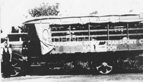
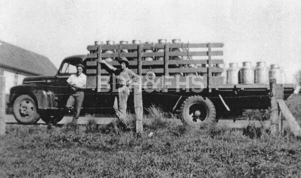
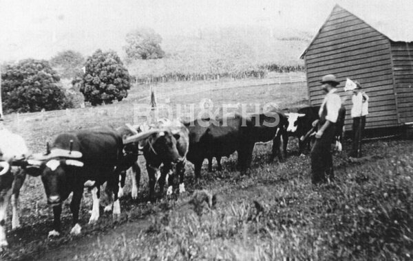
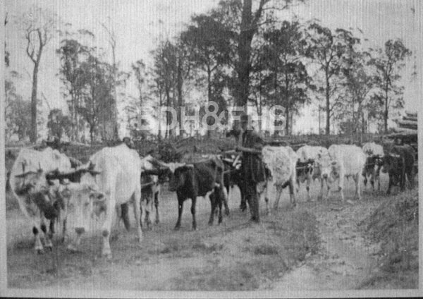
Browse local photographs linked to Kangaloon
Explore the Society’s photographs for sale
Read the landscape
Edition date unconfirmed
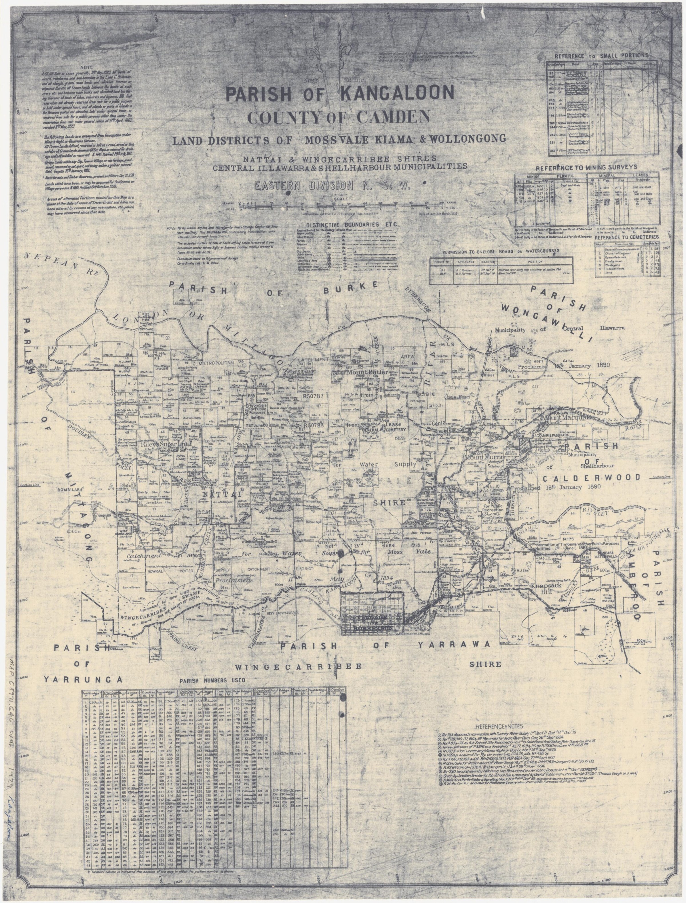
View the annotated map extract on PDF page 7; the original edition has not yet been identified.
East Kangaloon parish map: Alcorn selection
The inspected extract shows East Kangaloon, adjacent portions and Robert Alcorn’s 200 acres, outlined on the image by the heritage study. The study identifies the eastern edge as the former Old Kangaloon Road. The full map and edition date still need checking.
Related places: East Kangaloon, Kangaloon
NSW Historical Land Records Viewer extract reproduced in Wingecarribee Community Heritage Study, Kangaloon and East Kangaloon evidence sheets, PDF page 7.
Follow the link to the heritage study; check the original map and study reuse conditions before reproducing.
Browse maps and plans linked to Kangaloon
Newsletter Mentions
Stories about Kangaloon in the Society’s newsletters.
March 2025
- Bernadette Mahony's Kangaloon history and Kangaloon Footprints are profiled (p.3).
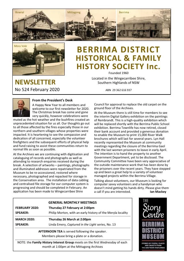
March 2020
- A family recollection of Berrima’s so-called cat burglar precedes a history of the East Kangaloon sawmill and Thomas Seery of Avoca (pp.5-7).
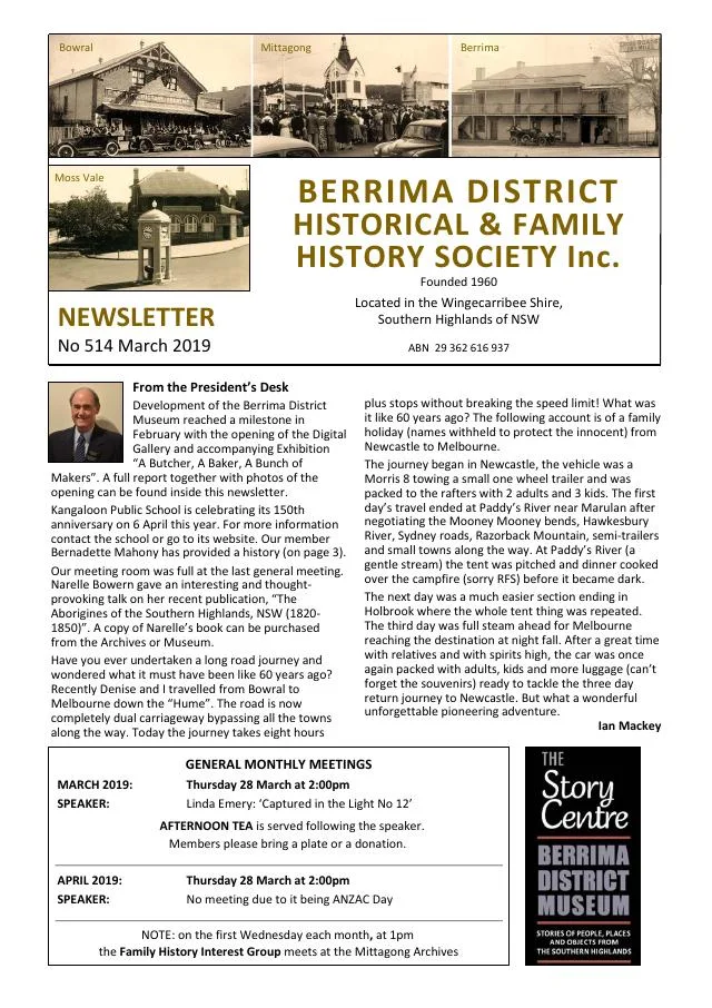
February 2020
- A series on local steam sawmills begins with East Kangaloon, followed by early postcards from the Joe Ford collection (pp.6-7).
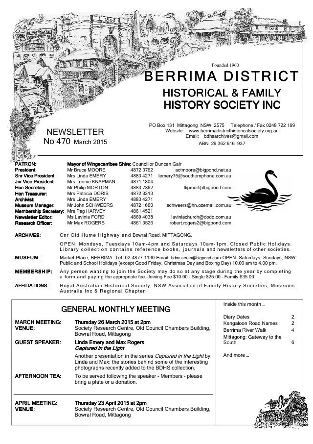
March 2019
- A feature records the 1867 application for a school at West Kangaloon and its local committee (p.3).
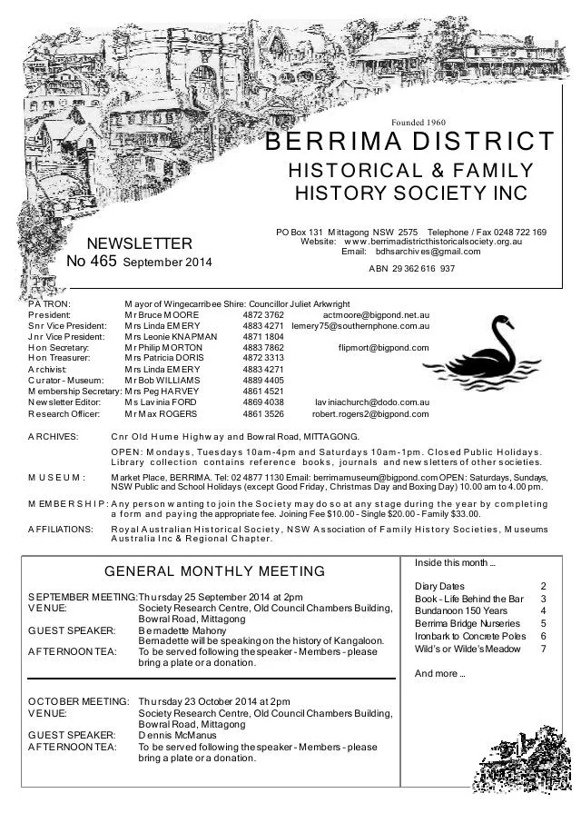
March 2015
- A 1953 newspaper extract records proposed changes to Kangaloon lane names (p.2).
September 2014
- Bernadette Mahony introduces Kangaloon Footprints, drawing on local interviews, family histories and photographs (p.3).
January 2014
- New local histories introduce Penrose, Berrima and Kangaloon; the issue explains historical Kangaloon and West Kangaloon naming (p.7).
Books in our Library
These catalogue titles mention Kangaloon. Check the linked catalogue and ask the Society about access.
- A History of Education in East Kangaloon - catalogue p. 4
- A History of Education Kangaloon Public School Centenary, 1869-1969. (1969) - catalogue p. 4
- A Souvenir of Kangaloon Motor Transport 1913 - 1963. - catalogue p. 6
- Kangaloon Footprints Index. In CD format plus paper format. - catalogue p. 38
- Kangaloon Footprints: A Collection of Records, Photographs and Anecdotes of Kangaloon, East Kangaloon, Mount Murray a (2013) - catalogue p. 38 Local recorded events, photographs, charts and anecdotes about Kangaloon and its district. Description source
Find Society publications mentioning Kangaloon. The list is from October 2026; contact the Society about current availability.
Further research
There is more to discover about Kangaloon in the Society’s archives and in other collections. A catalogue entry may lead to material that has not been digitised or needs to be consulted in person.
- Ask the Society’s research centre about local files, photographs and records.
- State Library of NSW collections - search photographs, maps, manuscripts and local publications.
- NSW Historical Land Records Viewer - search historical land records, plans and parish maps by place or parcel.
Sources already connected with this place include:
- Wingecarribee Heritage Study 1991
- Council heritage-study planning proposal
- Parish of Kangaloon, ninth edition, 1929, National Library of Australia
The Society can undertake professional research at $40 per hour. Contact the research centre to discuss your question and request a quote.